|
|


|
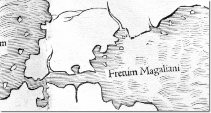
| This is a map by Sebastian Munster and was published in 1540. This map can be used for and against the idea that the islands had been discovered. On the one hand, it shows islands off the coast of South America. However, they are so randomly and evenly distributed it must be assumed that the author of the map is guessing. He has been over generous and marked too many islands most of which certainly do not exist. However, it is possible that sailors had mentioned the existence of islands off the coast of South America but were unable to specify their location. The full map shows an image of Magellan's ship, Victoria. The map suggests the existence of a continent to the south of America. |
Falkland Islands | Falkland Island Maps
Armed Forces | Art and Culture | Articles | Biographies | Colonies | Discussion | Glossary | Home | Library | Links | Map Room | Sources and Media | Science and Technology | Search | Student Zone | Timelines | TV & Film | Wargames