|
|


|
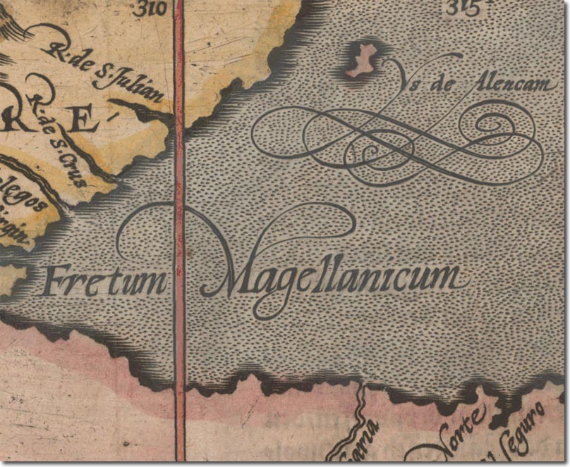
| This is one of the earliest maps to show an island off the coast of South America. It was made by Matthias Quad in 1600 but is assumed to be copied from Corneille Wytfliet's map of 1597. The island is referred to as the Ysle de Alencam and it is approximately in the correct location for the Flaklands. Interestingly, this map goes on to show Terra Australis which many cartographers and explorers lay to the South. The ship drawn on the map is Magellan's Victoria. |
Falkland Islands | Falkland Island Maps
Armed Forces | Art and Culture | Articles | Biographies | Colonies | Discussion | Glossary | Home | Library | Links | Map Room | Sources and Media | Science and Technology | Search | Student Zone | Timelines | TV & Film | Wargames