|
|


|
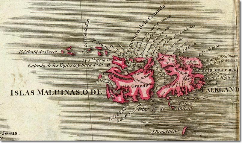
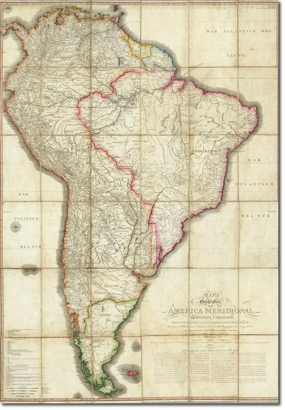
| This map was published in 1799 by Juan de la Cruz Cano but is believed to be an updated version of William Faden's 1755 map of South America. What is interesting about this map is the fact that the Falklands are marked as being the red of a British colony rather than as part of the Spanish Empire of South America as you can see below. On the full map of South America you can see that it is marked the same shade of pinkish red as British colonies in the Caribbean like Trindidad and Grenada and it is distinct from the Patagonian lands which are marked green on the mainland. The significance of this is that the Spanish actually had a settlement on the islands at this time, whereas the British had left Port Egmont in 1774 and yet it is still being displayed as if it were a British colony. |

|
Falkland Islands | Falkland Island Maps
Armed Forces | Art and Culture | Articles | Biographies | Colonies | Discussion | Glossary | Home | Library | Links | Map Room | Sources and Media | Science and Technology | Search | Student Zone | Timelines | TV & Film | Wargames