|
|


|
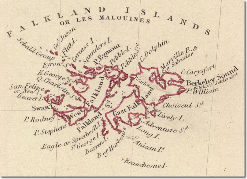
| This is a British map published in 1838 by the 'Society for the Diffusion of Useful Knowledge'. It does show where the nascent English settlement started in 1833 was located. It was close to the old French settlement, Port Louis in Berkeley Sound. |
Falkland Islands | Falkland Island Maps
Armed Forces | Art and Culture | Articles | Biographies | Colonies | Discussion | Glossary | Home | Library | Links | Map Room | Sources and Media | Science and Technology | Search | Student Zone | Timelines | TV & Film | Wargames