|
|


|
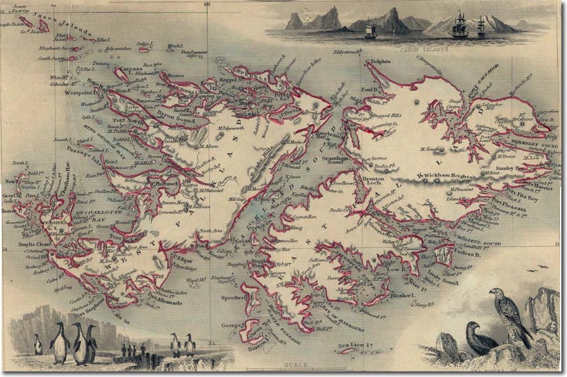
| This is an American map by Tallis and Martin which was published in 1851. By this time, almost all the place names are English ones. Spanish and French references are few and far between. The division of the two islands into East and West Falkland now seems to be formalised and the sound between is referred to solely as Falkland Sound. Stanley Harbour is starting to make an appearance, although the old Port Louis settlement location is still marked - althouth it points out that it is abandoned. The Sebald Islands of the north-west are now marked as the Jason islands and this map includes a picture of ships located in those islands. |
Falkland Islands | Falkland Island Maps
Armed Forces | Art and Culture | Articles | Biographies | Colonies | Discussion | Glossary | Home | Library | Links | Map Room | Sources and Media | Science and Technology | Search | Student Zone | Timelines | TV & Film | Wargames