|
|


|
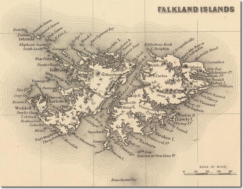
| This is an American map published in 1857 by G. W. Colton. Port Louis is no longer marked on the map as the main settlement had moved further south to the deeper Stanley Harbour. You can see a small circle where the new settlement was located. The map no longer uses the French alternate name, merely marking the British version of the name; The Falkland Islands. |
Falkland Islands | Falkland Island Maps
Armed Forces | Art and Culture | Articles | Biographies | Colonies | Discussion | Glossary | Home | Library | Links | Map Room | Sources and Media | Science and Technology | Search | Student Zone | Timelines | TV & Film | Wargames