|
|

 |
 |
|
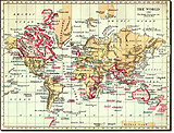
| World, 1897 | Trade Routes, Interwar Years | |
 |
||
| World Map, 1911 | ||
 |
 |
|
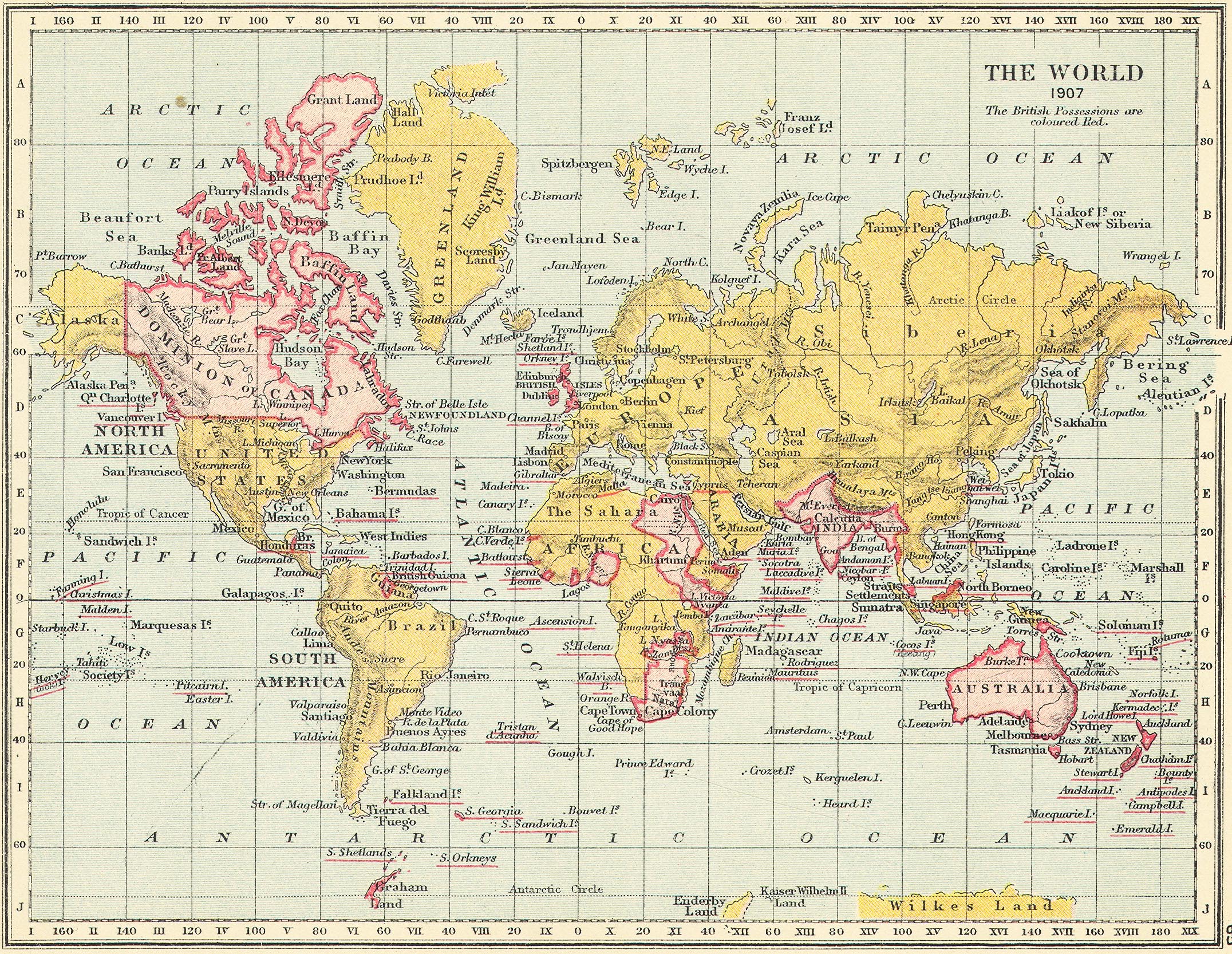
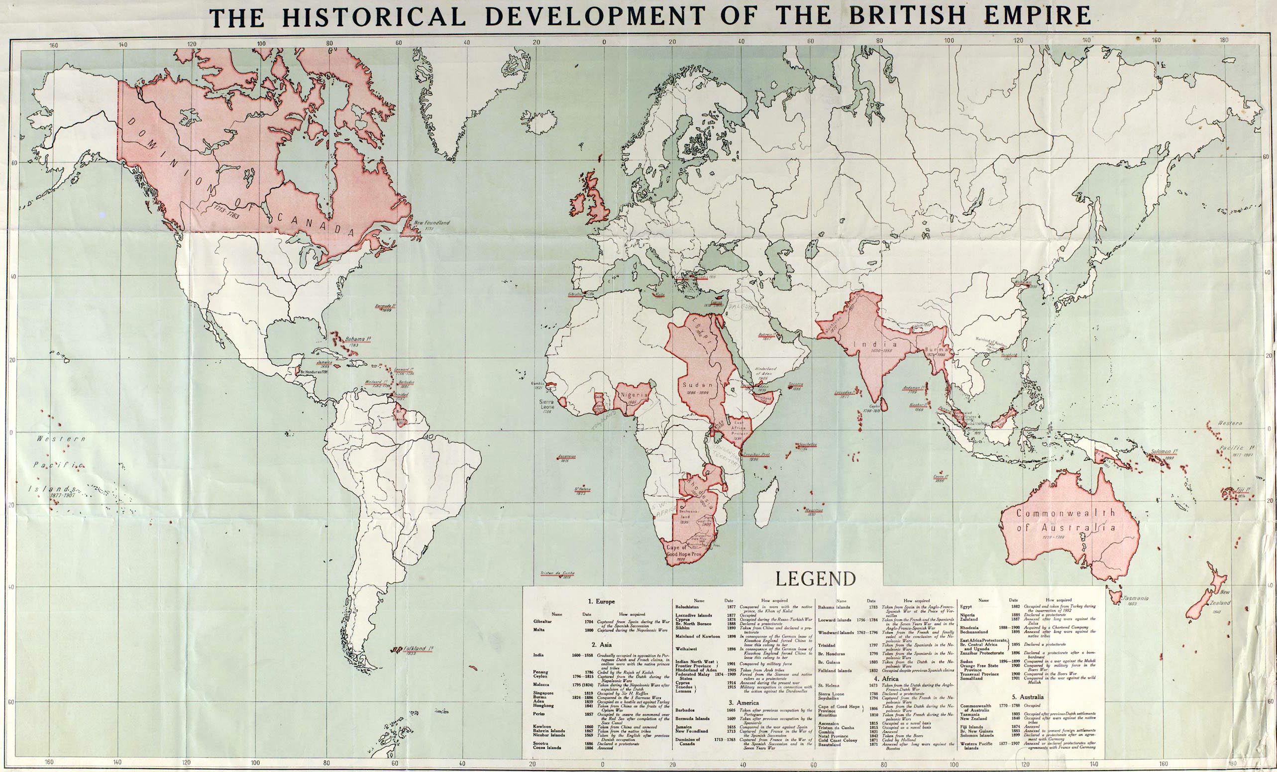
| British Empire Map, 1907 | British Empire Map, 1915 | |
 |
||
| British Empire Map, 1937 |
Armed Forces | Art and Culture | Articles | Biographies | Colonies | Discussion | Glossary | Home | Library | Links | Map Room | Sources and Media | Science and Technology | Search | Student Zone | Timelines | TV & Film | Wargames
