|
|


|
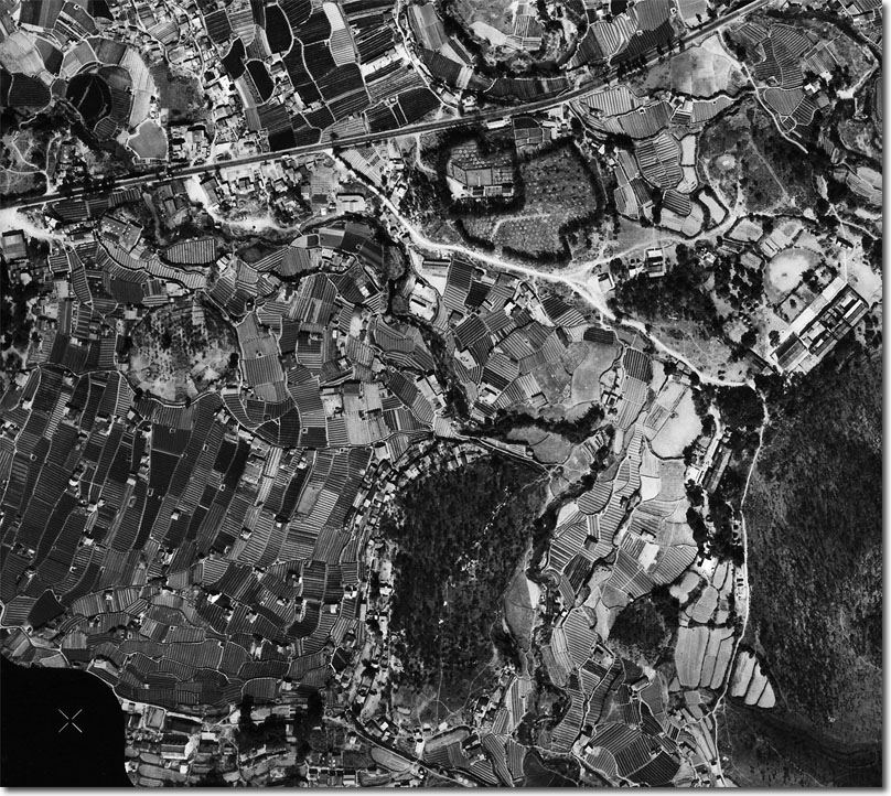
| A decision was taken in 1962 to complete basic mapping of the New Territories by aerial survey (photogrammetric) means. The British firm of Huntings Surveys Ltd was granted a contract to provide 1:1,200 mapping of the New Territories and 1:600 of the urban area. Image Courtesy of Hong Kong Poloytechnic and University. |
Armed Forces | Art and Culture | Articles | Biographies | Colonies | Discussion | Glossary | Home | Library | Links | Map Room | Sources and Media | Science and Technology | Search | Student Zone | Timelines | TV and Film