|
|


|
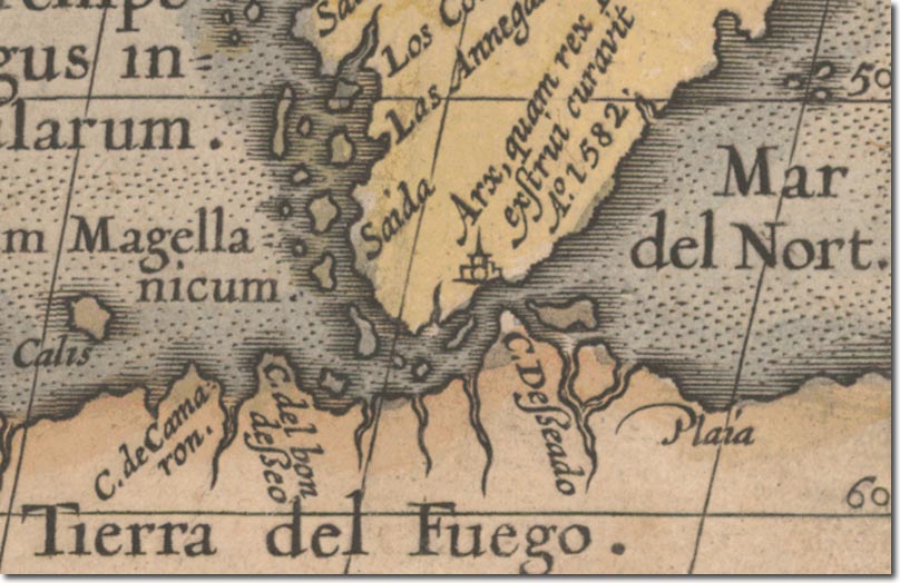
| This is a famous map by Abraham Ortelius from 1589. It is primarily concerned with the Pacific Ocean, but three distinct islands can be made out off the south-east coast of South America. This is significant as the map was drawn before the voyages of Sebald. For the next century, the islands will frequently be drawn as three islands very much like it has been here. The map was drawn after the voyages of John Davis and Sir Richard Hawkins so it may well confirm their sightings of the islands. Alternatively, it could be a reference to earlier sightings of the islands by Magellan's crew, but the 1540 map would suggest that no clear location or substantiation was included at that time. Presumably, some new information had come to Ortelius in the meantime. It was known that Ortelius was friendly and conversant with English mariners such as Drake, Raleigh and Hawkins and so may have updated his maps based on their recent voyages. He does though include a huge Terra Australis at the base of his map which would seem to have contradicted the findings claimed by Drake for a clear channel south of the Straits of Magellan. |
Falkland Islands | Falkland Island Maps
Armed Forces | Art and Culture | Articles | Biographies | Colonies | Discussion | Glossary | Home | Library | Links | Map Room | Sources and Media | Science and Technology | Search | Student Zone | Timelines | TV & Film | Wargames