|
|


|
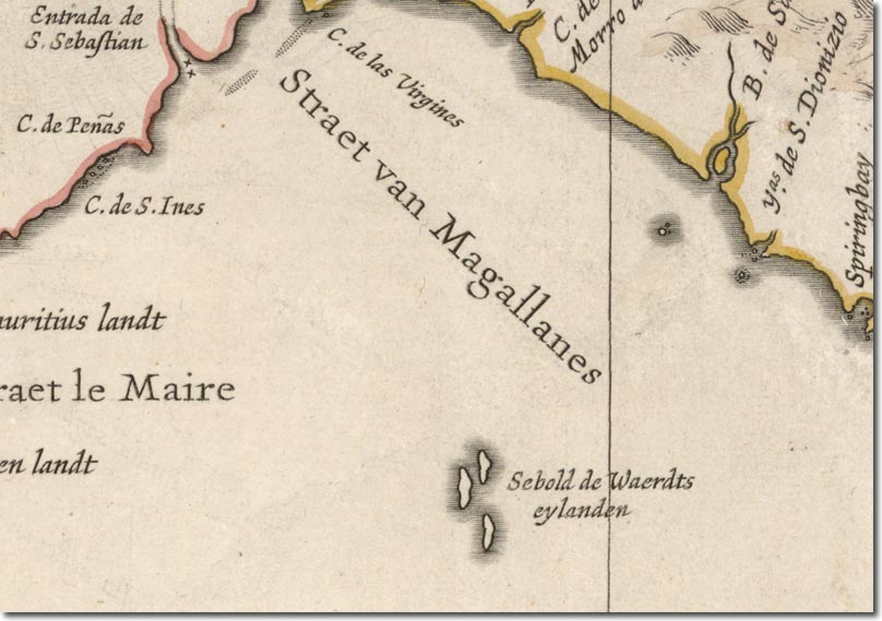
| This map by Hessel Gerritsz shows the islands marked as the Sebaldes. There are three distinct islands mapped out. Either these are figurative for the archipelago or perhaps a hazy sketch of the main island but unaware that the Eastern Island was a single island connected by an isthmus. This map is unusual for its orientation where North is to the right of the map. |
Falkland Islands | Falkland Island Maps
Armed Forces | Art and Culture | Articles | Biographies | Colonies | Discussion | Glossary | Home | Library | Links | Map Room | Sources and Media | Science and Technology | Search | Student Zone | Timelines | TV & Film | Wargames