|
|


|
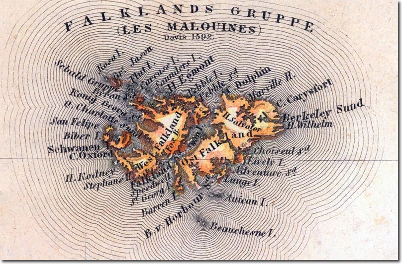
| This is a German map from 1844, hence the number of German terms appearing on it. Most of the French names have disappeared leaving mainly English names with a few Spanish ones. Port Egmont is still marked on the map. This map divides the islands up into East and a West Falkland Island. This map credits the discovery of the islands to Davis in 1592. |
Falkland Islands | Falkland Island Maps
Armed Forces | Art and Culture | Articles | Biographies | Colonies | Discussion | Glossary | Home | Library | Links | Map Room | Sources and Media | Science and Technology | Search | Student Zone | Timelines | TV & Film | Wargames