|
|


|
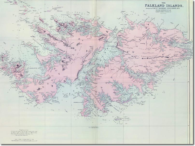
| This is a large and detailed map of the Falklands published by Stanford Maps in London in 1901. It shows all the settlements and even the farms of the era. It shows the tidal times, ebb and the kelp line. Kelp was a problem to ships but it also provided the livelihood for many on the islands, so its inclusion would've been doubly useful. |
Falkland Islands | Falkland Island Maps
Armed Forces | Art and Culture | Articles | Biographies | Colonies | Discussion | Glossary | Home | Library | Links | Map Room | Sources and Media | Science and Technology | Search | Student Zone | Timelines | TV & Film | Wargames