|
|


|
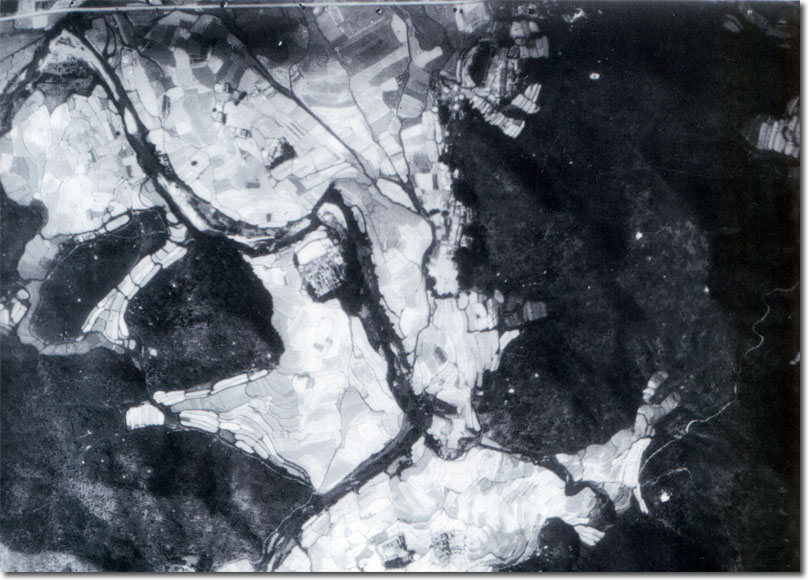
| This particular photograph was taken by a Fairey IIId of the Fleet Air Arm flying from HMS Pegasus in 1924. It shows Low Wu. It was used primarily for the production of 1:20,000 topographic maps of the colony. Image Courtesy of Hong Kong Poloytechnic and University. |
Armed Forces | Art and Culture | Articles | Biographies | Colonies | Discussion | Glossary | Home | Library | Links | Map Room | Sources and Media | Science and Technology | Search | Student Zone | Timelines | TV and Film