|
|


|
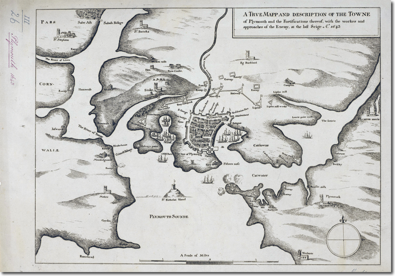
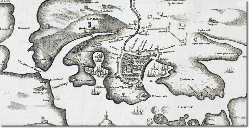
| This map very clearly shows the defences on the heights that stretched from Lipson over to Stonehouse Creek. These earthenworks were call created at the outbreak of the war as it was felt that the stone walls around the port dominated by the high ground would not be enough to defend against a determined Royalist attack. So this second line of defences was thrown up.... almost nothing remains of this vital part of Plymouth's history except for place names like Mount Gould (named after the commander who won the Battle of Freedom Fields) and Mount Batten named after the Parliamentarian Naval Commander William Batten who helped fortify the coastal part around Plymouth to withstand a Royalist attack. Image courtesy of militarymaps.rct.uk |

|
Empire in Your Backyard: Plymouth Article
Armed Forces | Art and Culture | Articles | Biographies | Colonies | Discussion | Glossary | Home | Library | Links | Map Room | Sources and Media | Science and Technology | Search | Student Zone | Timelines | TV & Film | Wargames