|
|

 |
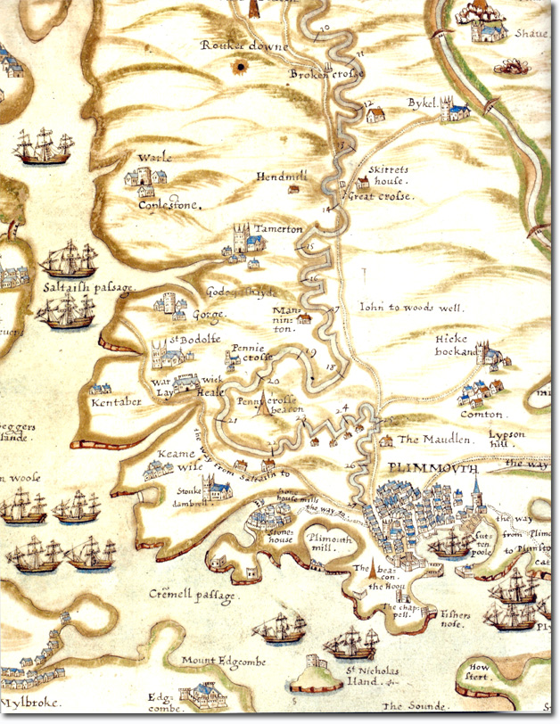
| Robert Spry's 1591 Chart of Plymouth Harbour and the Neighbouring Countryside as far as Tavistock. It clearly shows the newly constructed leats bringing fresh water from Dartmoor to Plymouth. It also shows the beacons that were part of the extensive defence and communications system. This was published just a couple years after the Spanish Armada attack after all. |
Empire in Your Backyard: Plymouth Article
Armed Forces | Art and Culture | Articles | Biographies | Colonies | Discussion | Glossary | Home | Library | Links | Map Room | Sources and Media | Science and Technology | Search | Student Zone | Timelines | TV & Film | Wargames