

The direct route to Ladysmith lay along the railroad, which ran mostly north and south. The railroad crossed the Tugela River at Colenso, ran along the north bank of the river, snaked between Railway Hill and Pieters Hill and continued to Ladysmith. While their main defences were north of the river, the Boers also held a number of ridges south of the river and east of Colenso. The Tugela runs generally east to Colenso, but near the railroad bridge the river turns north, then northeast. Along the northeasterly stretch, the river and railroad are commanded by a series of hills which represented the Boer main line of defence.
A 500 feet high ridge named Hlangwane rose northeast of Colenso on the south bank and overlooked the railroad. This feature dominated the river crossing and without its possession the British were vulnerable in the extreme.
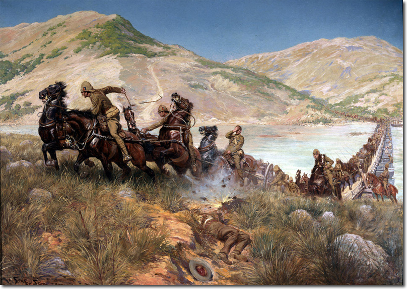
This Georges Scott painting is courtesy of National Army Museum
Charles Orr's Memoirs Volume 4

