|
|


|
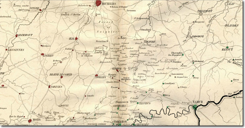
| Siborne’s map of the area around Brussels and Waterloo shows how Quatre Bras is the furthest point that the army reached and that to reach Waterloo they had to retrace their steps through Genappe. Thuy can be seen to the east, on the river Genappe which is a tributary of the Dyle which in turn flows into the Schelde. Wavre, where the Prussians had withdrawn, is due east of Waterloo which is on the southern edge of the Forest of Soignies. The Prussians’ battle against Napoleon was at Ligny which is indistinct but can be found just south of the Nivelles-Namur road, half way along, on a tributary of the Sambre. |
Armed Forces | Art and Culture | Articles | Biographies | Colonies | Discussion | Glossary | Home | Library | Links | Map Room | Sources and Media | Science and Technology | Search | Student Zone | Timelines | TV & Film | Wargames