|
|

 |
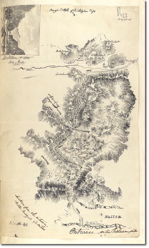
| This is another map by A. Christie. The Khyber Pass is a 33-mile long passage It varies in width from three to 137 metres and is walled by precipitous cliffs that range in height from about 180 to 300 metres. In the end, the British were to invade Afghanistan through the southern Bolan Pass in order to placate their ally Ranjit Singh. They did send a secondary attack through the Khyber pass but they certainly used this route for their disastrous retreat. |
Armed Forces | Art and Culture | Articles | Biographies | Colonies | Discussion | Glossary | Home | Library | Links | Map Room | Sources and Media | Science and Technology | Search | Student Zone | Timelines | TV & Film | Wargames
