

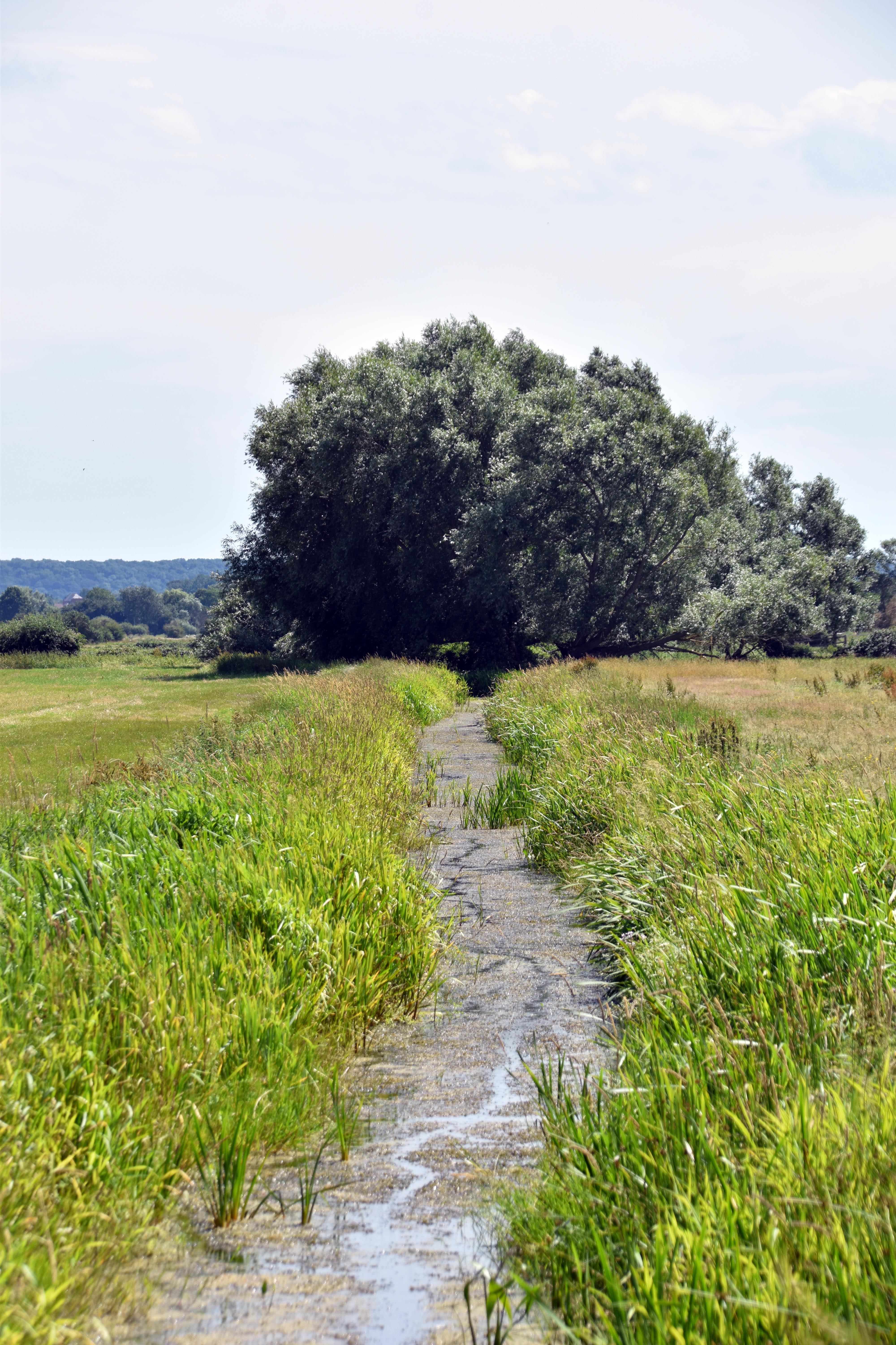
The Somerset Levels contain one of the oldest engineered water-management landscapes in England. Medieval rhynes and sluice gates formed the core of a system designed to regulate seasonal flooding, control grazing access, and support intensive hay production. Although the Levels today are heavily drained, the medieval pattern of channels, diversions, and controlled flooding shaped the region for more than a thousand years.
The principal medieval landholders—royal estates at Somerton, Curry, and Taunton, together with Glastonbury Abbey and the Bishops of Bath and Wells—managed the Levels as seasonal pasture. Herds of cattle and sheep were moved into the area in late spring as water levels dropped. This transhumance required predictable water control, which was achieved through a network of rhynes (drainage channels) and sluice gates regulating inflow from diverted rivers.
Rivers such as the Tone and the Cary were deliberately rerouted around the lowest parts of the Levels. This allowed water to be admitted into specific “levels” through sluices similar in design to the one shown in the photograph. By controlling the timing and volume of water entering each compartment, farmers could produce two or more hay crops per year. The system was not designed to eliminate water but to manage it for agricultural advantage.
Waterways served as transport routes. As in the Fens, punts could reach most fields, enabling the movement of hay, reeds, and sedges. These materials were economically significant: reeds and sedges provided roofing, bedding, and fodder, while hay supported large numbers of cattle during summer and autumn. Artificial canals, known as lodes, linked the River Brue and the Caxbridge Brook to Glastonbury Abbey, allowing bulk transport directly to the monastic precinct.
Despite repeated attempts at drainage by the Romans and later by monastic estates, the Levels remained only partially controlled until the 18th and 19th centuries. Medieval sluices and rhynes moderated water but did not eliminate seasonal flooding. The landscape seen today—largely drained and divided by straight-cut channels—differs significantly from the medieval system, which relied on controlled inundation rather than complete removal of water.
The surviving rhynes and reconstructed sluice gates provide the closest modern approximation to the medieval appearance of the Levels. They illustrate a long-standing agricultural strategy: using water as a managed resource rather than treating it solely as an obstacle. The medieval system supported transhumance, intensive hay production, and a waterborne transport network that connected isolated fields to coastal markets and major ecclesiastical centres.

