|
 |
|
|
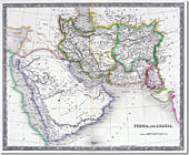
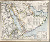
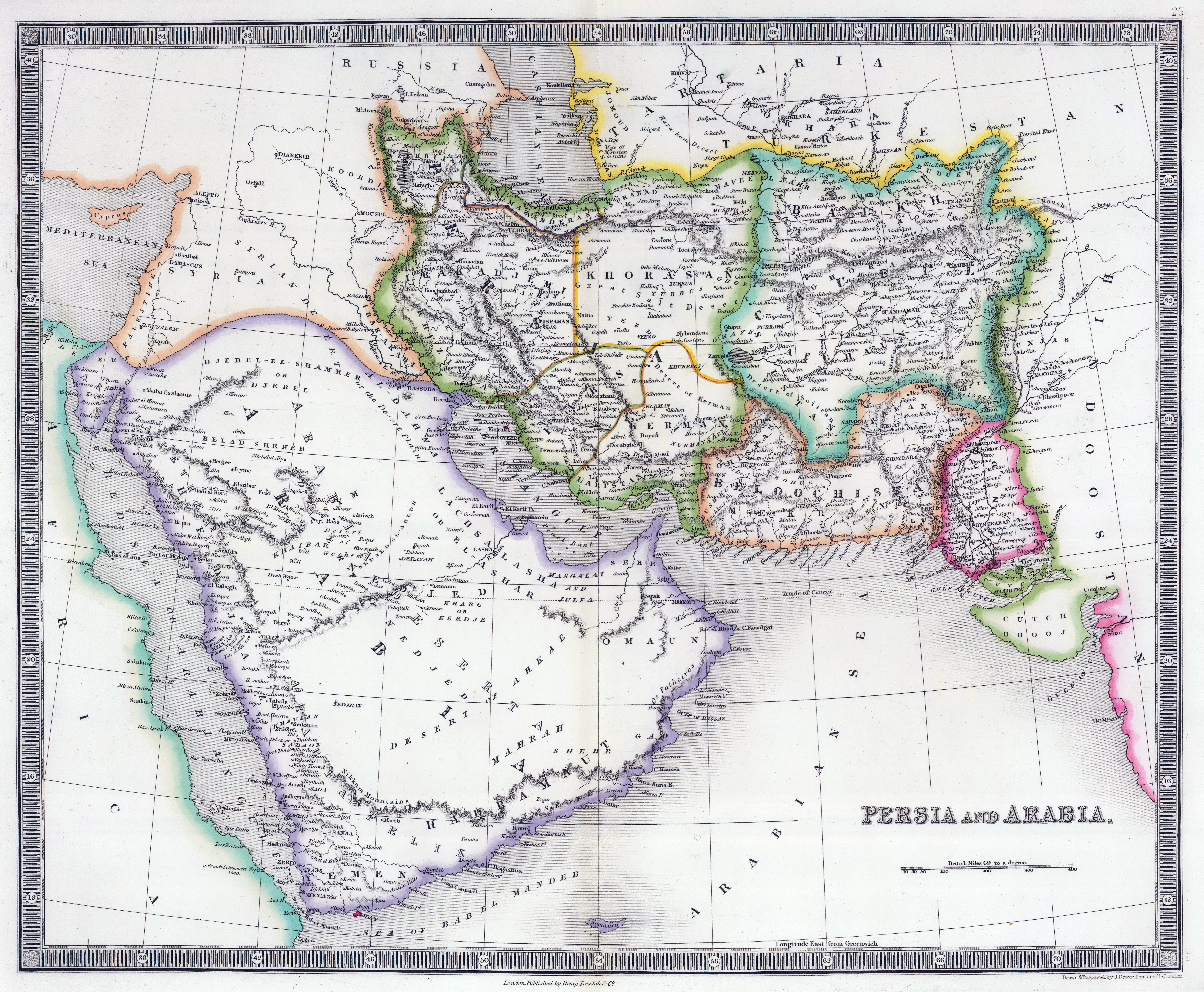
Arabia, Ottoman and Persian Empires, 1844
Showing Aden as British |
|
 |
|
 |
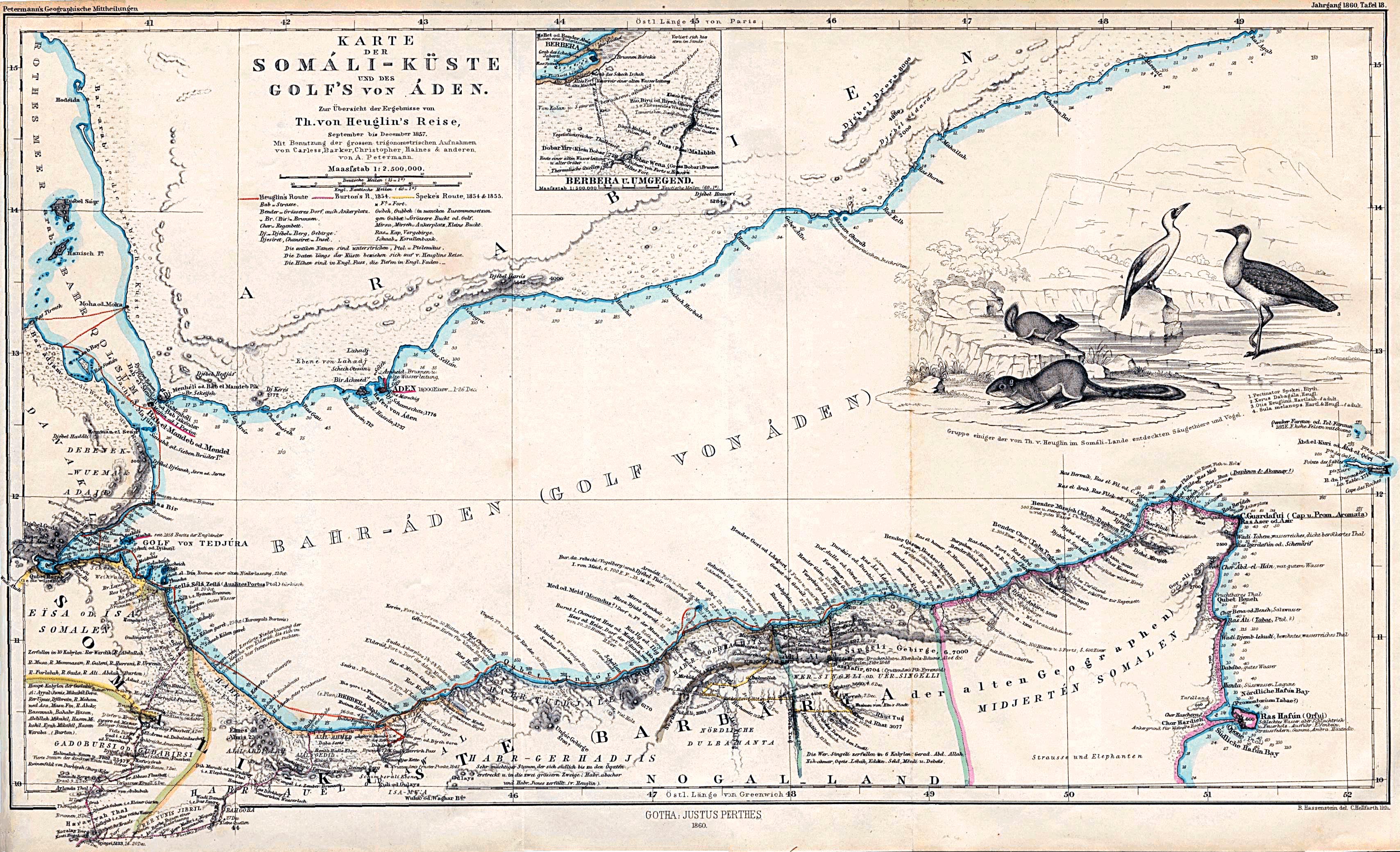
| 1860 Map of Region
| |
Middle East Map, 1872
Showing Aden and British Claimed Islands |
|
 |
|
|
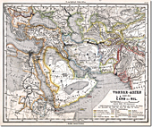
Middle East Map, 1875
Showing British Aden and Perim Island |
|
 |
|
 |
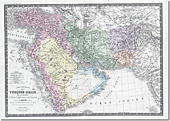
Arabia and Egypt Map, 1883
Showing Aden, Kamaran, Perim and Mosha Islands
And British Consuls and Agents |
|
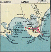
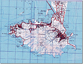
1906 Map of Aden
|
|
 |
|
|
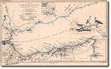
Gulf of Aden Map, 1896 |
|
 |
|
 |
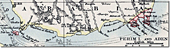
| 1906 Map of Aden and Perim Island
| |
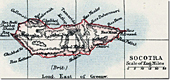
1906 Map of Socotra
|
|
 |
|
|
1922 Map of Aden
| |
 |
|
 |
| 1922 Map of Aden
| |
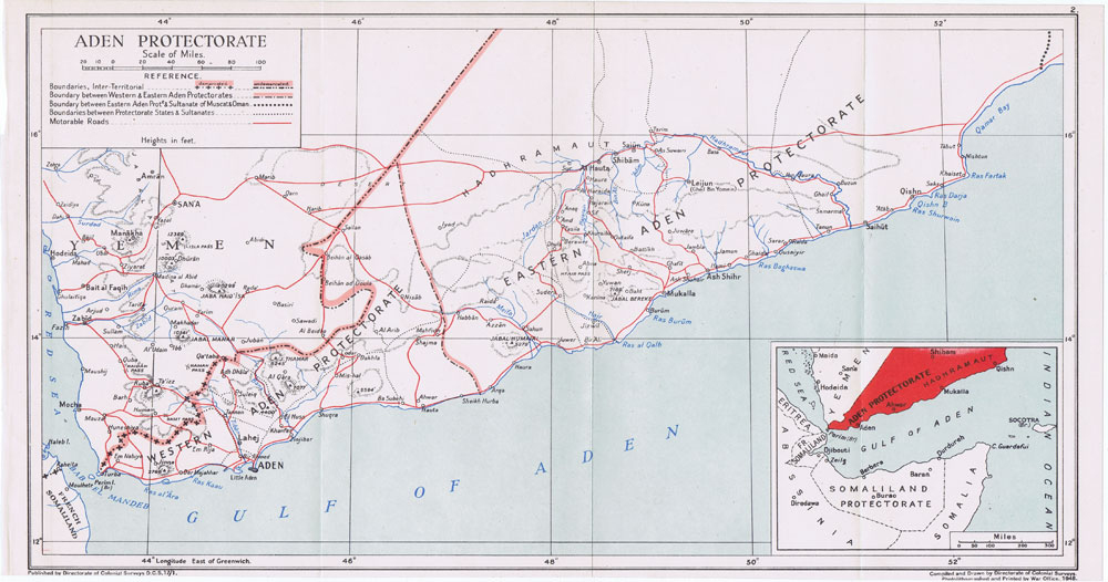
1948 Map of Aden
|
|
 |
|
|
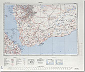
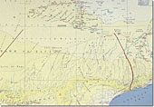
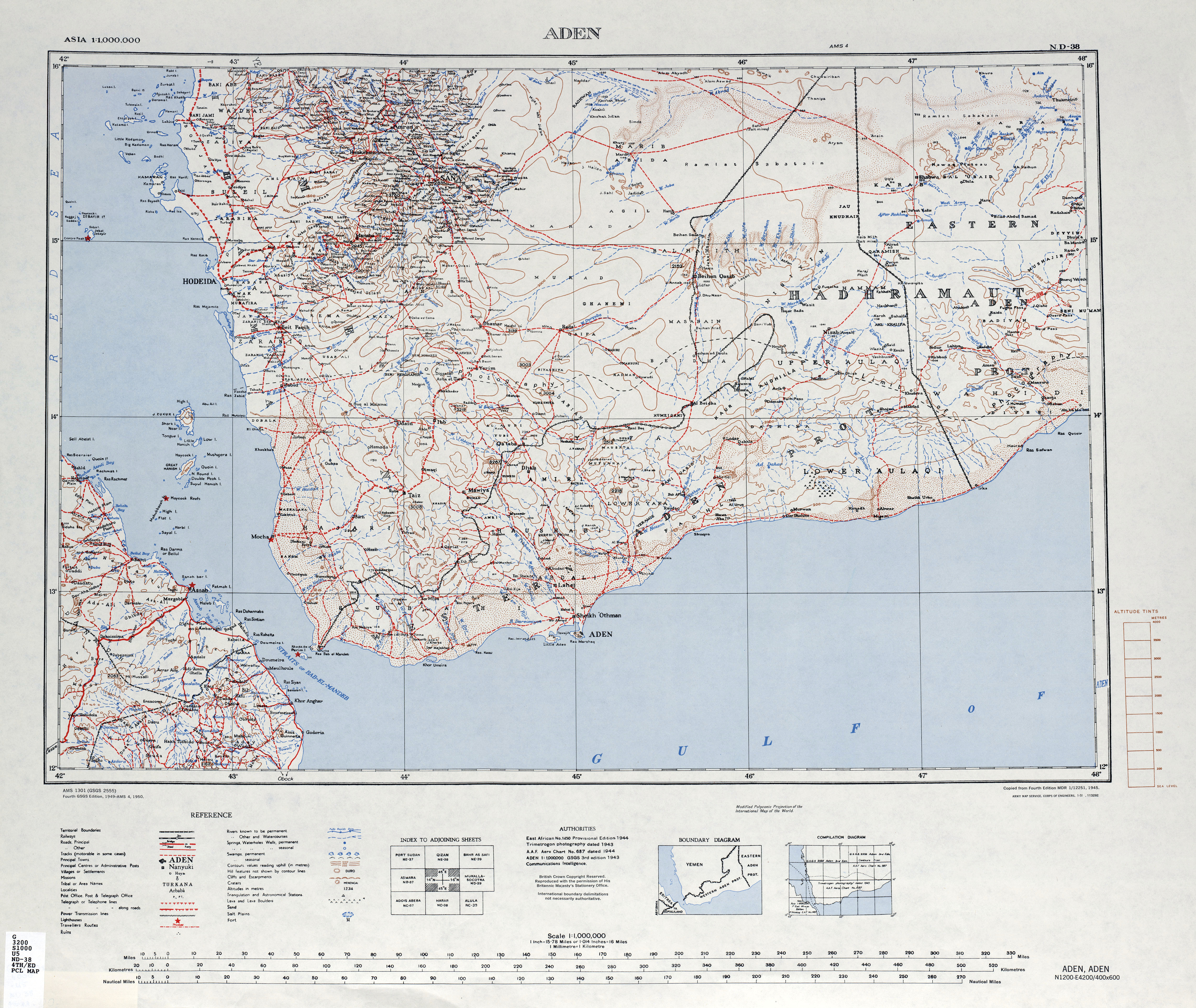
1953 Aden and Western Aden Protectorate Map
| |
 |
|
 |
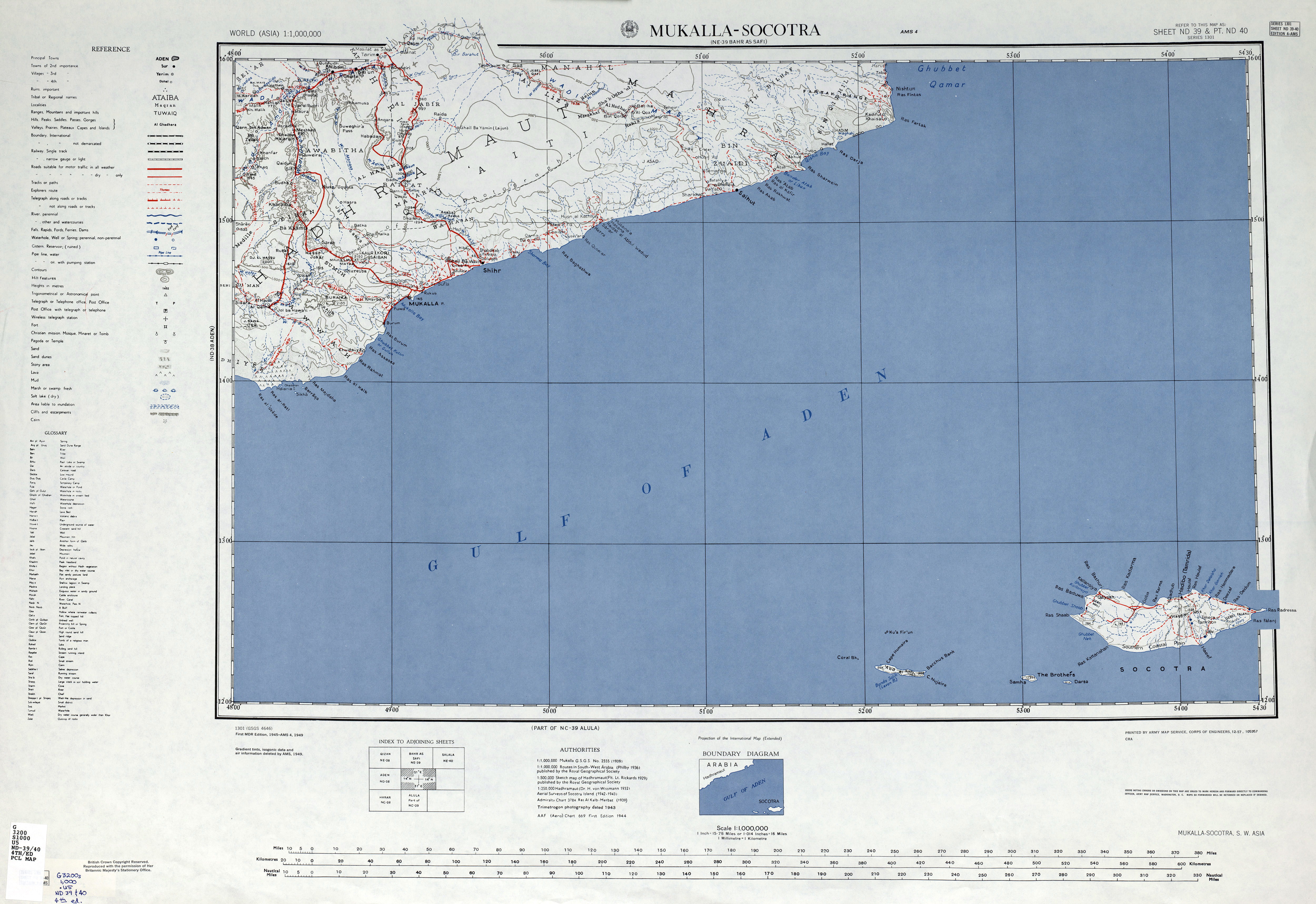
| 1953 Mukalla and Socotra Map
| |
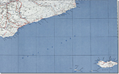
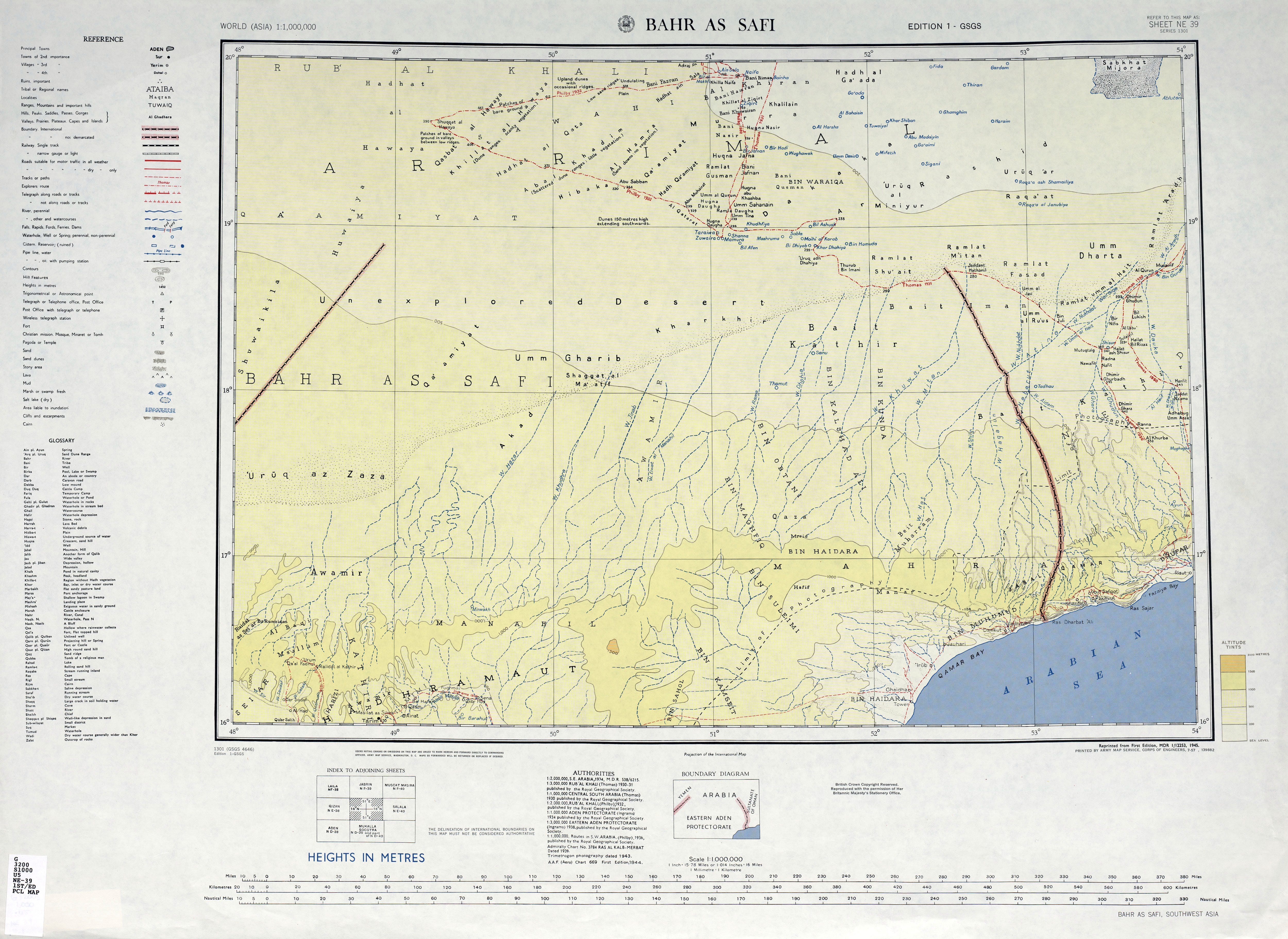
1953 Eastern Aden Protectorate Map
Showing Extent of Aerial Mapping
|
|
 |
|
|
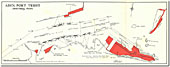
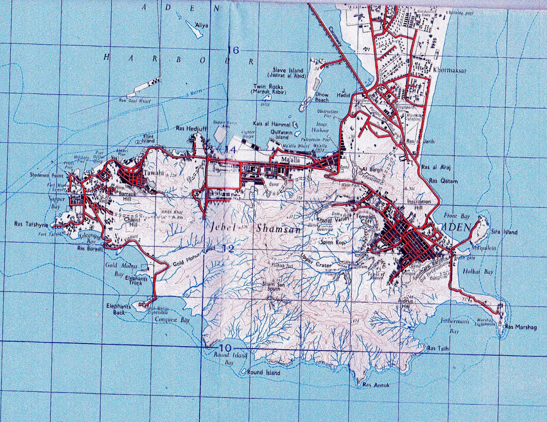
1950s Aden Port Trust Map
| |
 |
|  |
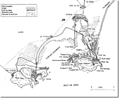
| 1957 Aden Port Berthing Plan
| |
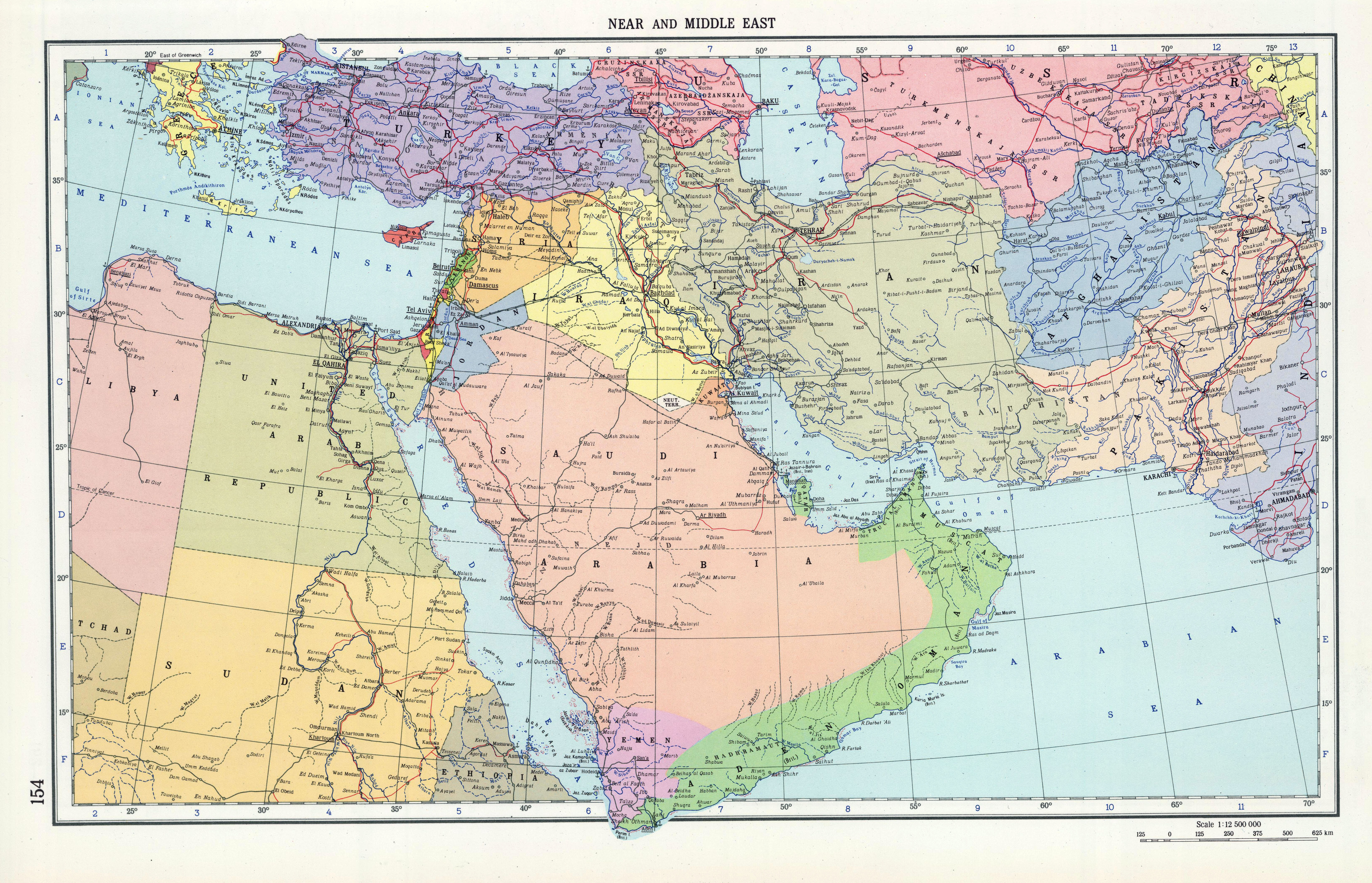
Middle East Map 1967
Soviet Map Showing Indeterminate Borders Around Aden |
|
 |
|
|
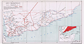
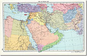
Arabian Peninsular Map, 1967
Soviet Map Showing Indeterminate Borders Around Aden |
|
 |
|  |
| Aden State Map, 1965
| |
Aden & the Protectorates of South Arabia, 1965 |
|
 |
|
|
42 Survey Engineer Regiment |
|


