|
|


|
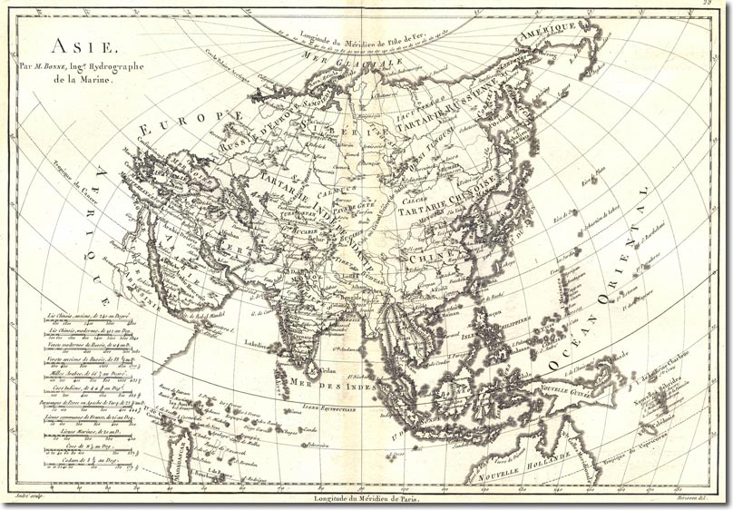
| This is one of the most accurate maps yet, with the Indies now accurately mapped. There are even more Pacific Islands popping onto the map in accurate locations. It also shows the Bering Straits separating Asia from North America for which there was still much doubt in the 18th Century. |
Armed Forces | Art and Culture | Articles | Biographies | Colonies | Discussion | Glossary | Home | Library | Links | Map Room | Sources and Media | Science and Technology | Search | Student Zone | Timelines | TV & Film | Wargames