|
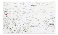
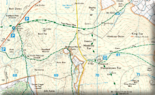
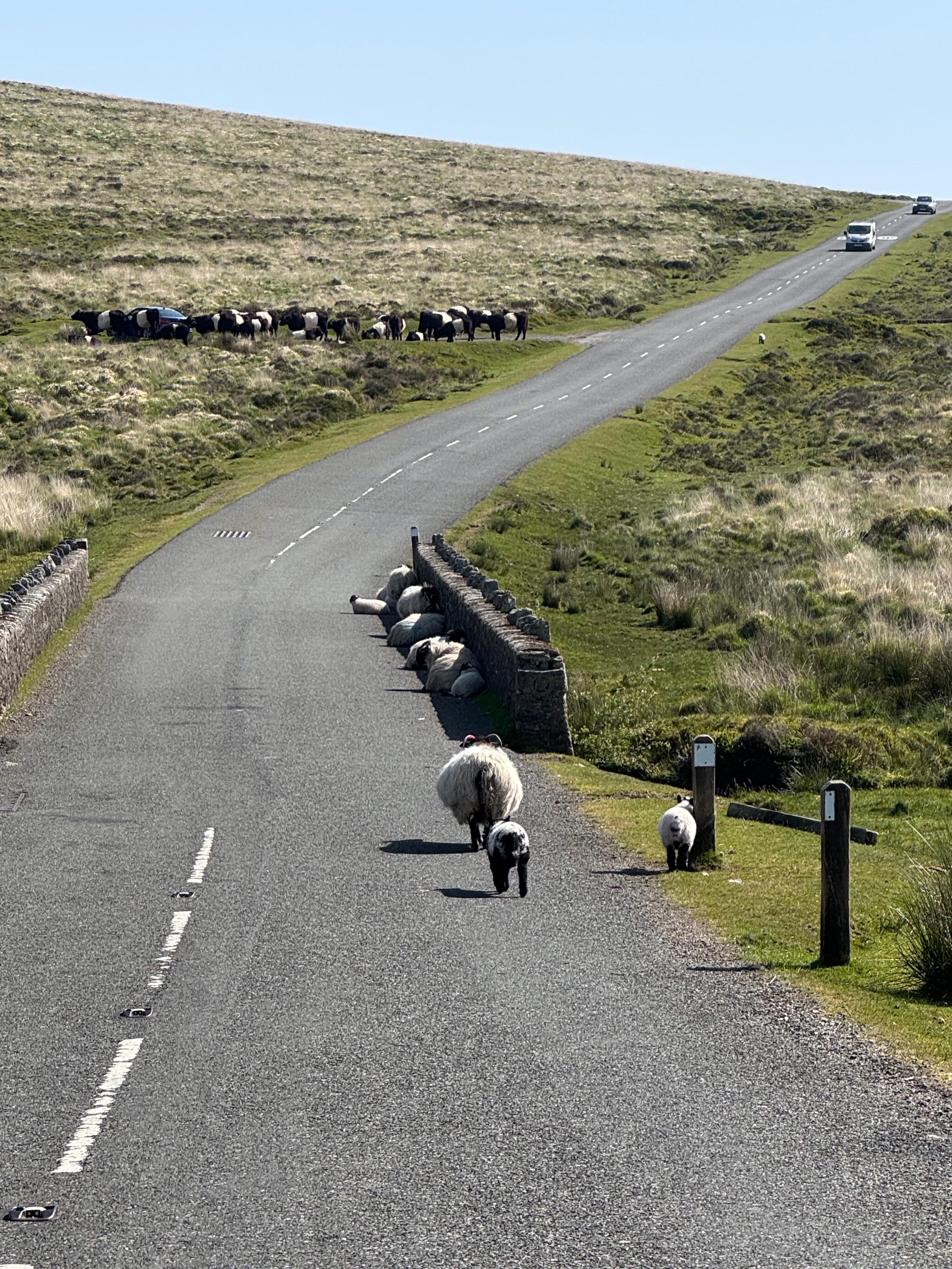
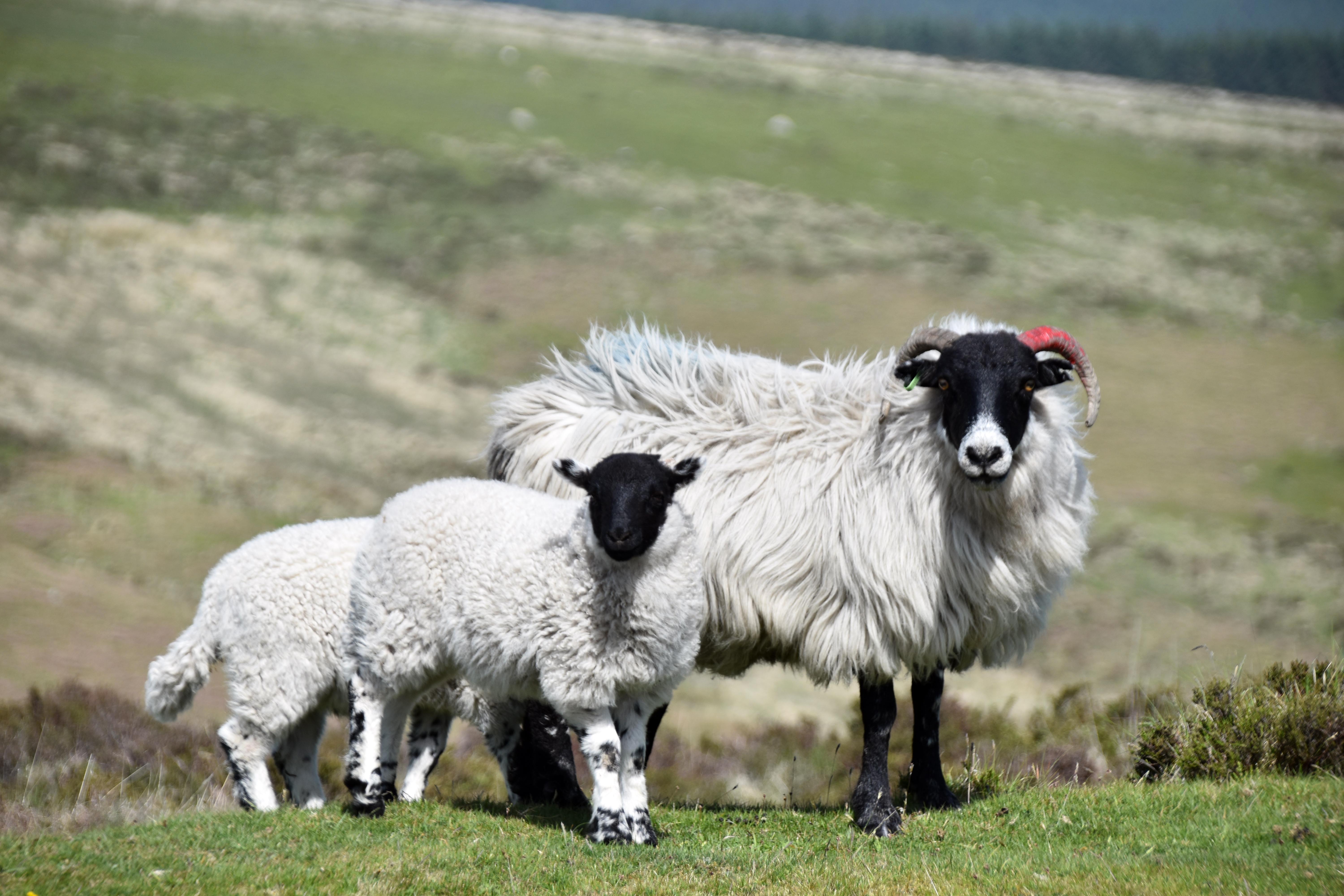
On what was the hottest day of the year until that point, Rupert and I decided to go high and try to find some breeze up on Dartmoor. It is a beautiful drive from Plymouth but at one bridge we saw why you have to drive slowly and safely over the moors when a whole line of sheep were using the shade of the bridge to try and stay cool on this unusually hot May day. We parked just up from the Warren House Inn close to Bennett’s Cross. This area is strewn with old tin strip‑mining evidence, as nature takes centuries to repair the scars made in the ground by miners eager to reveal the shiny stuff by damming streams and using released water to clear away banks of topsoil. The fact that there are so many workings illustrates that they found deposits of tin they could follow. This particular area was known as the Vitifer Mine Complex. It has, of course, created a fascinating ecosystem of its own, where it is easy to get lost in the myriad workings.
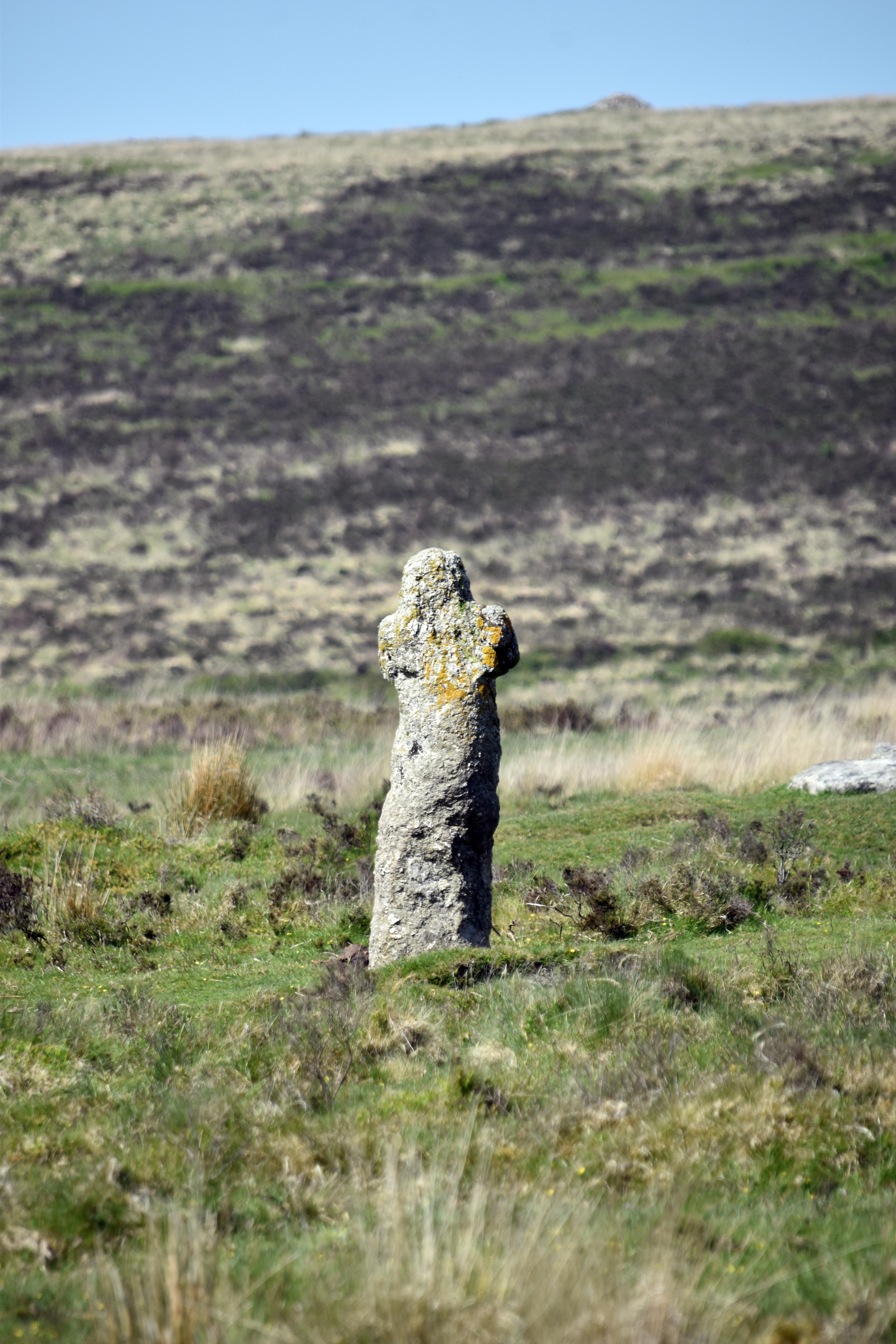
Bennett’s Cross stands on the road marking the parishes of North Bovey and Chagford. It has a faint ‘W B’, probably referring to the Warren Boundary at a time when rabbits were farmed on an almost industrial scale to provide affordable meat to both urban and rural populations. The name Bennett may refer to the tin miner William Bennett, who held the mining rights to this area in the Tudor era. Or it may predate even that and derive from the medieval word for Benedictine monks, who might have followed these crosses across the moors to travel between Tavistock and Exeter. Either way, it makes for a good place to start and end a walk, serving the purpose it was always intended to play — to stand out in an otherwise bleak landscape devoid of landmarks.
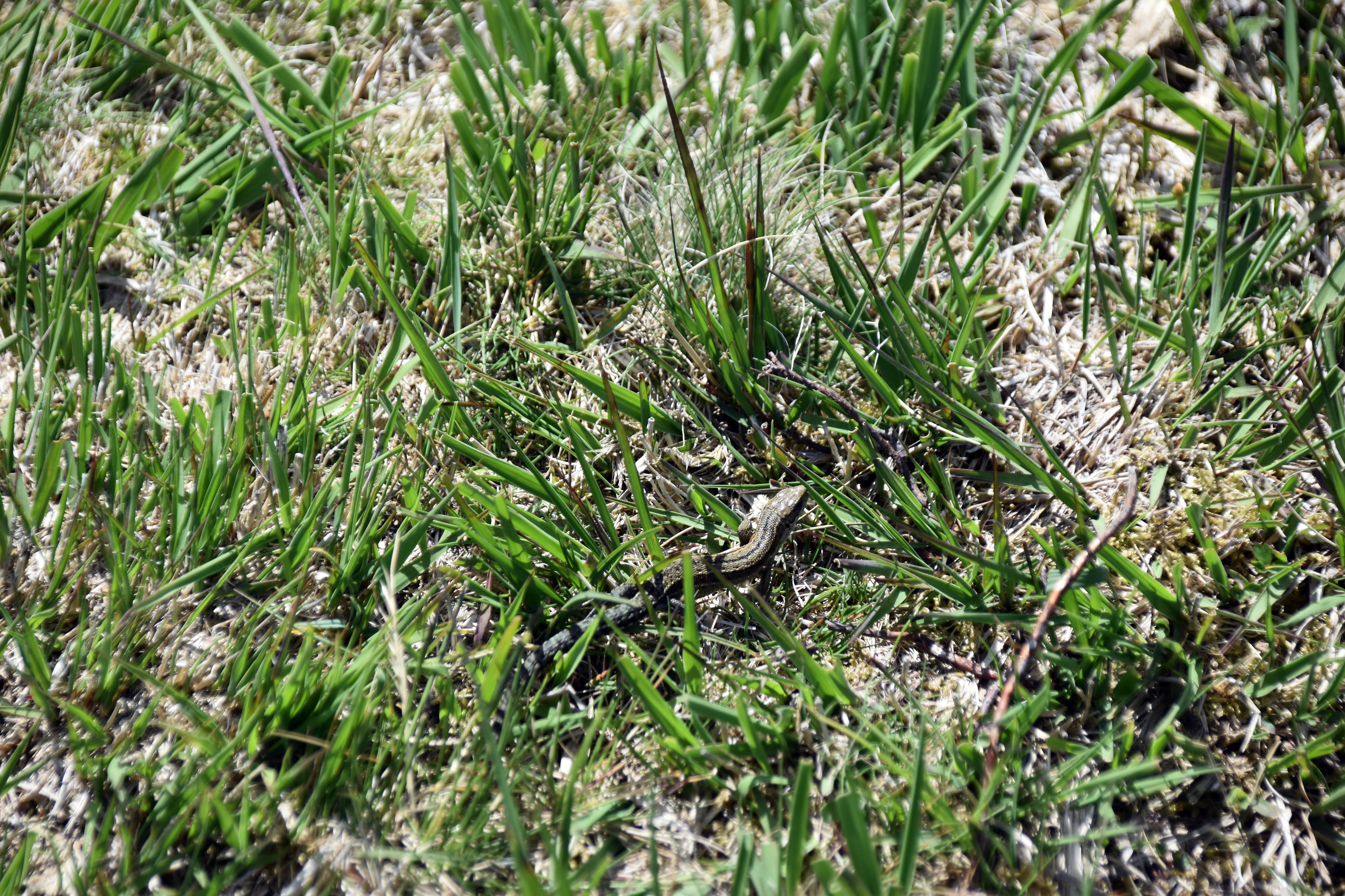
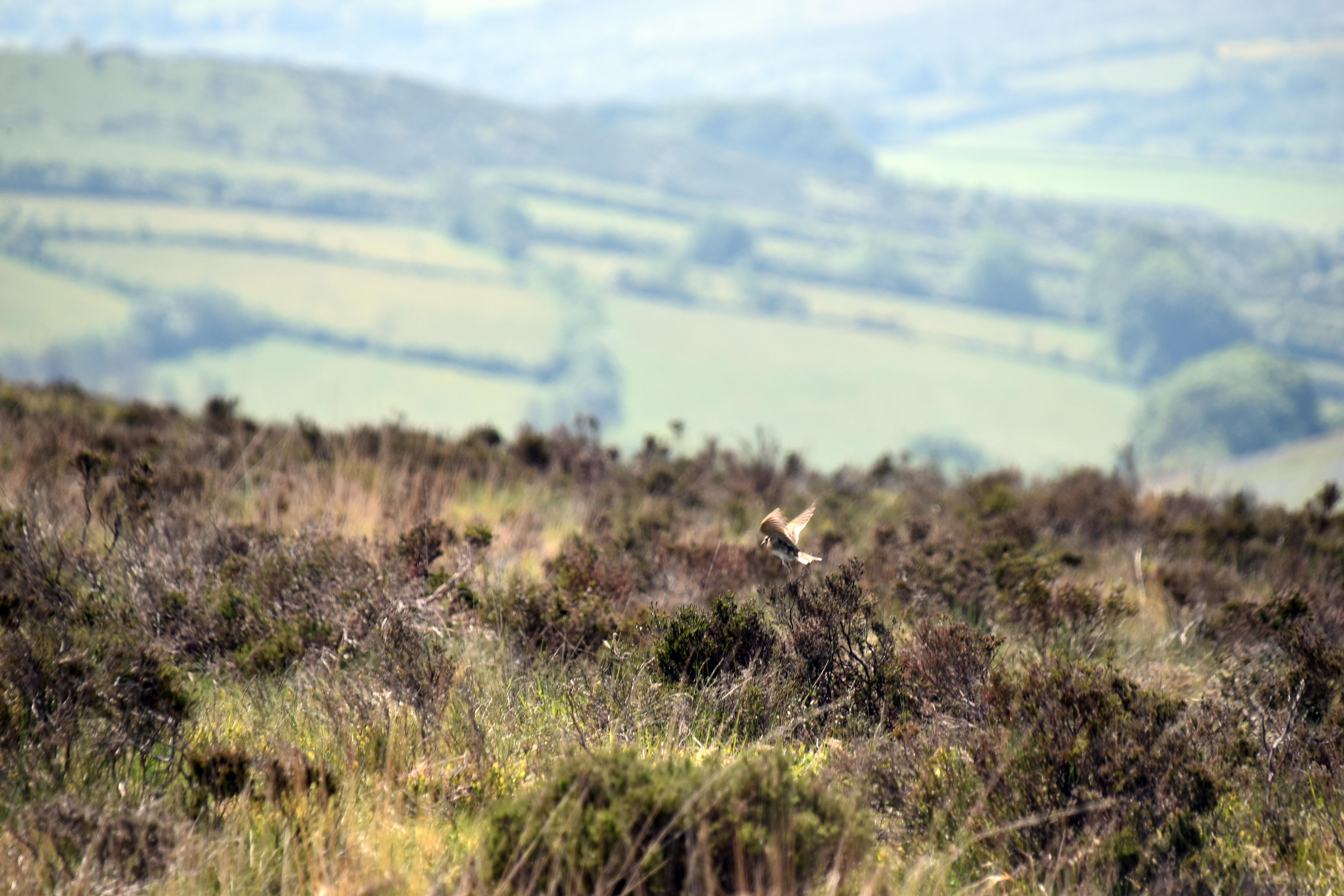
We then followed a portion of the Two Moors Way (which we walked a few years back) up to Birch Tor first and then down the other side towards Hookney Tor. It was very dry although we spotted a lizard at one point possibly scurrying off to find some wetter place to cool down. Oh and we heard more cuckoos and saw and heard skylarks aplenty.
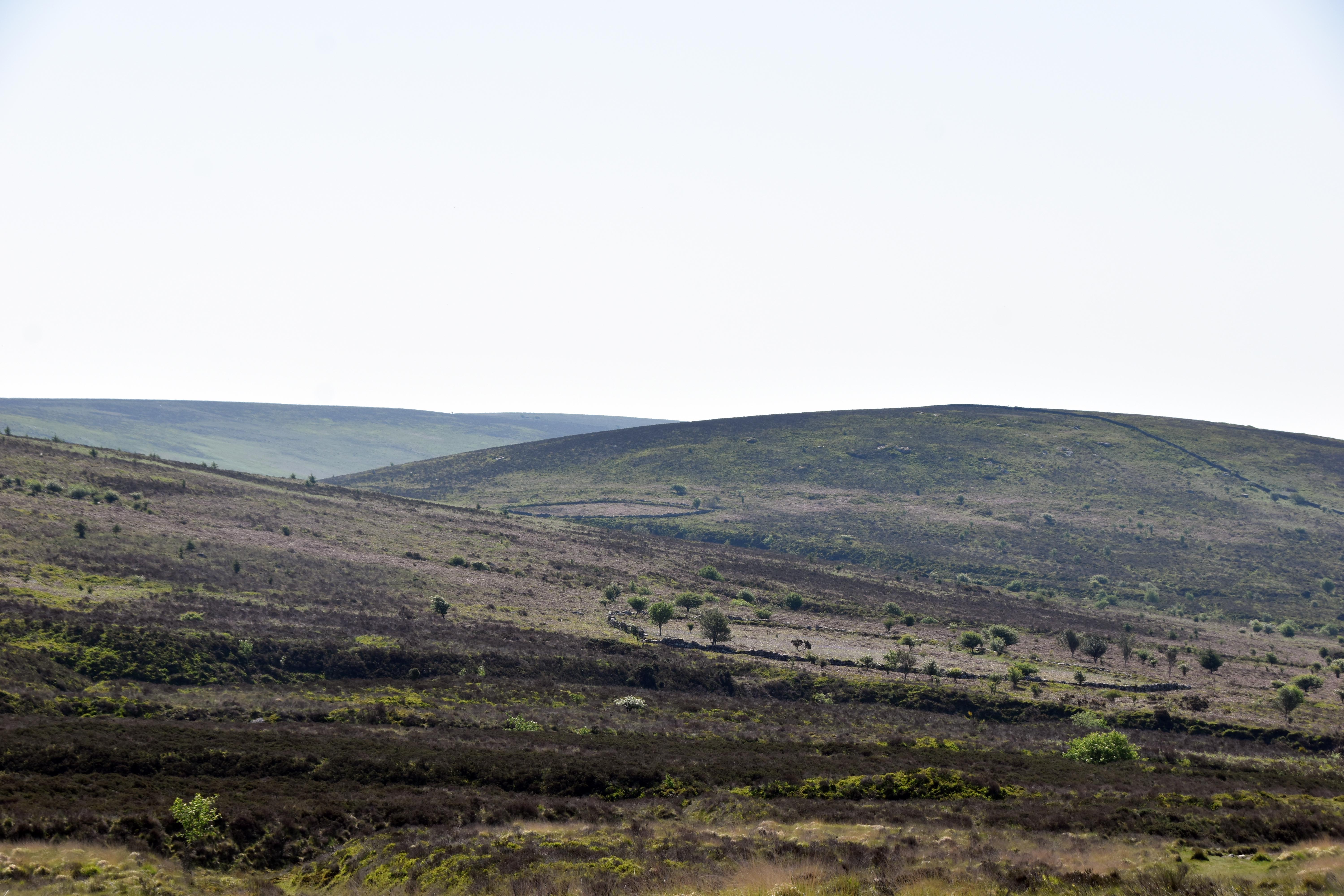
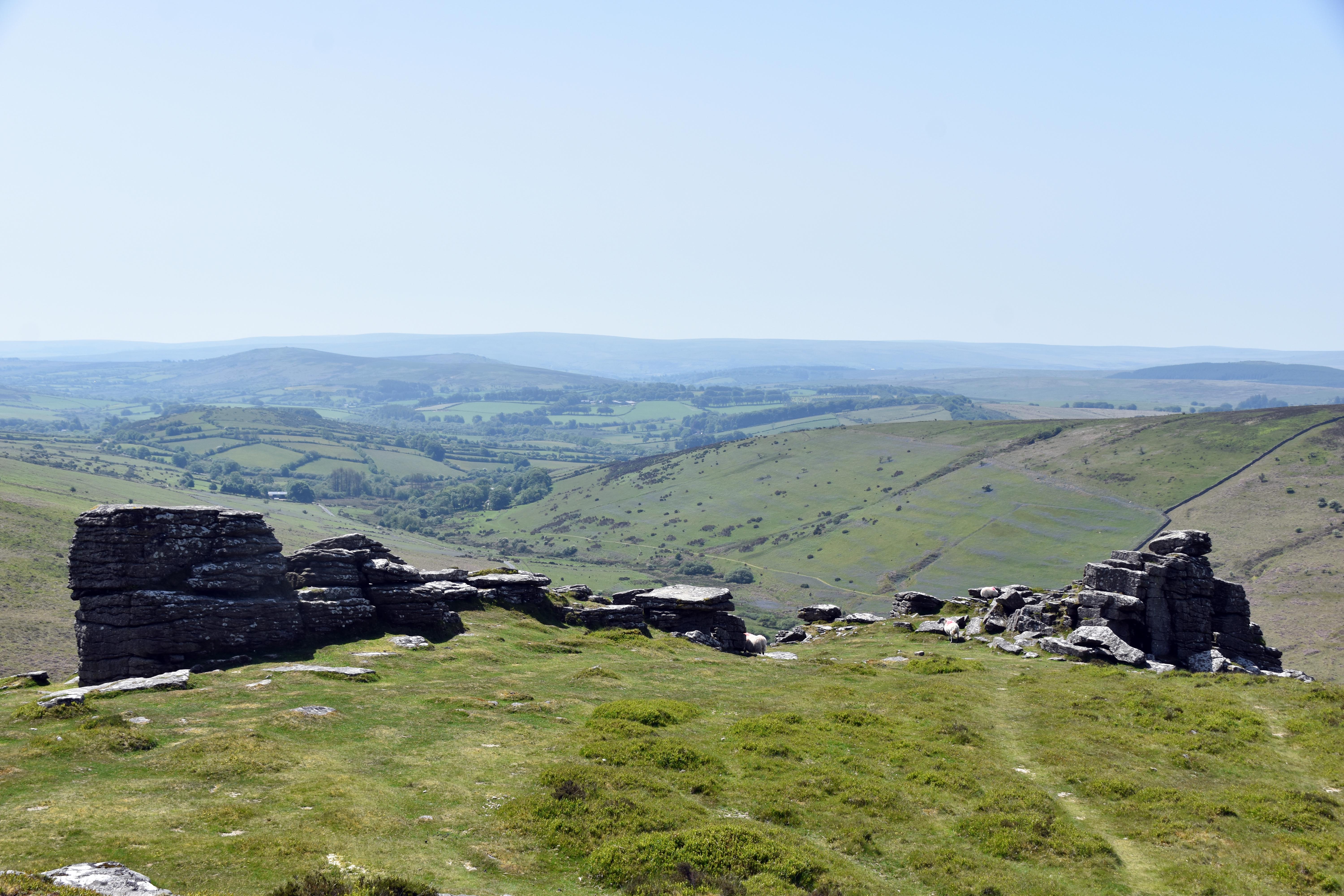
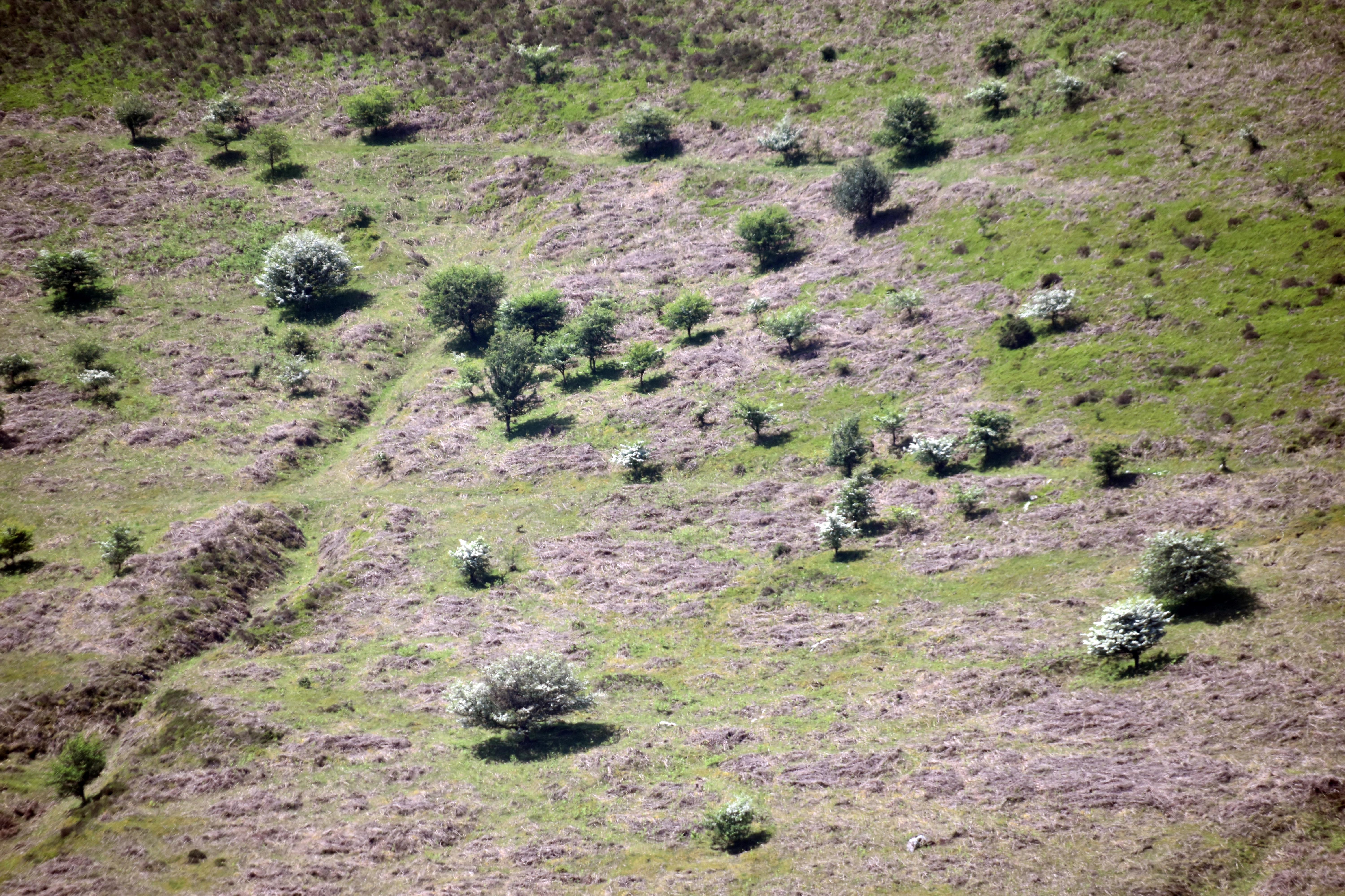
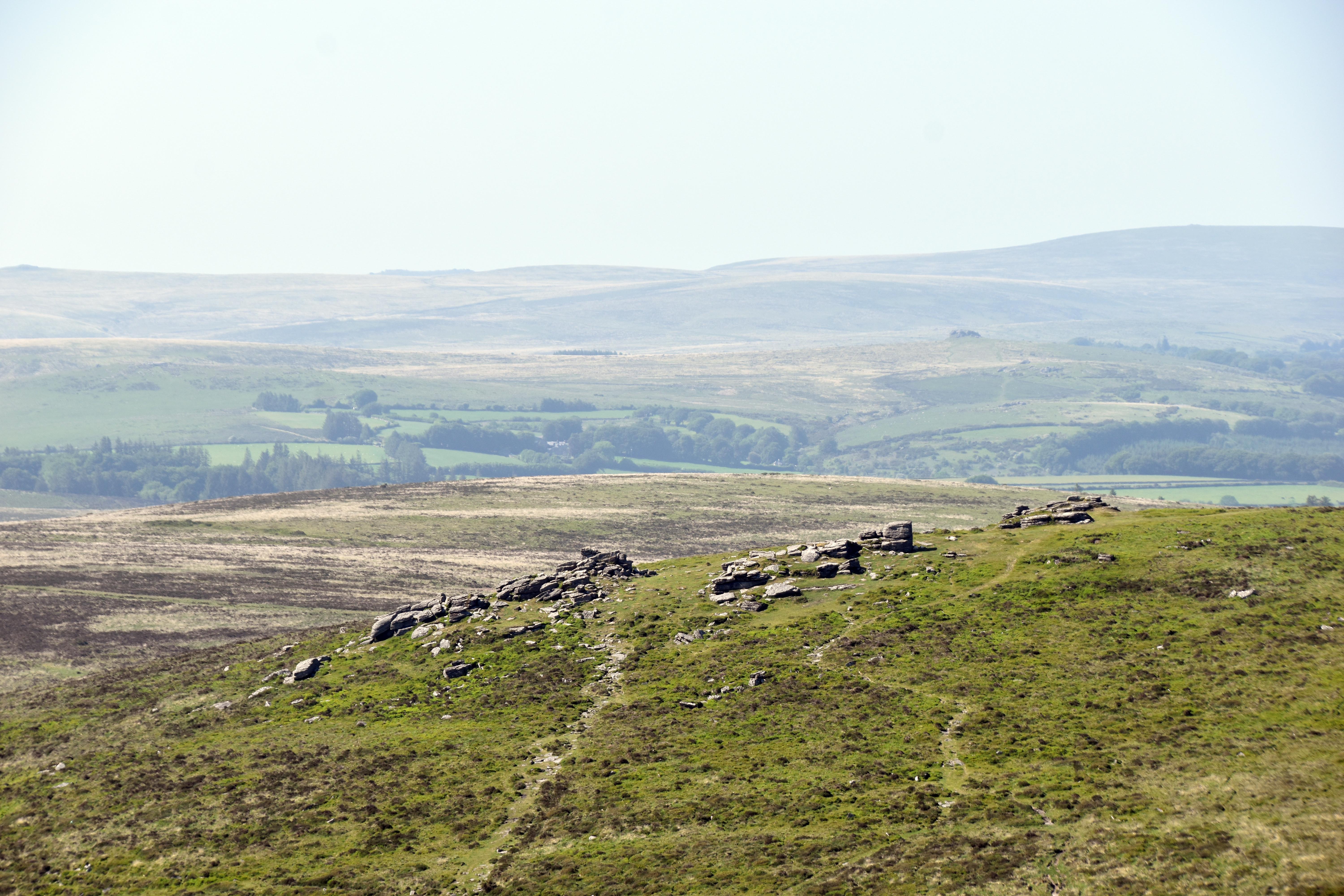
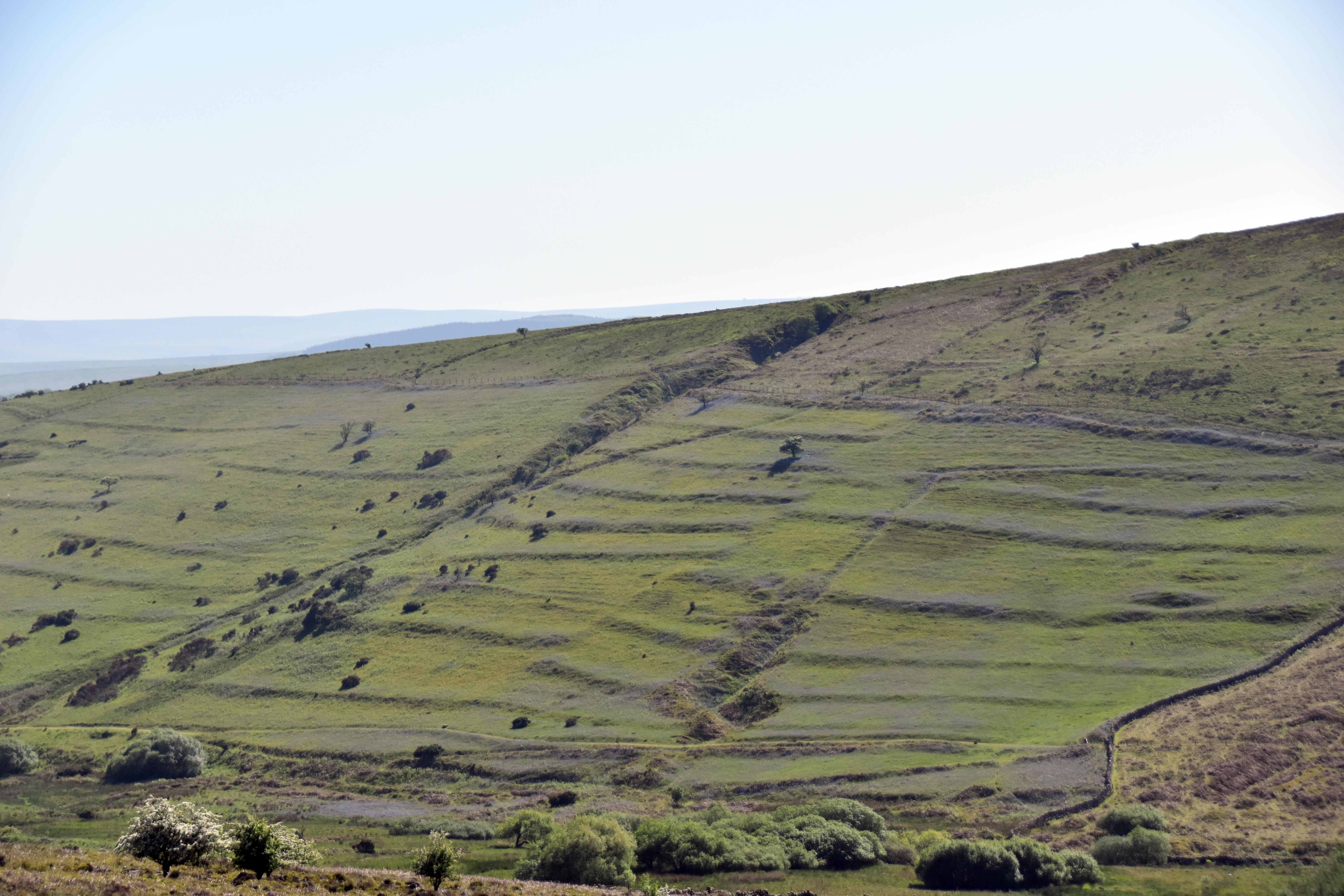
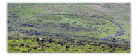
The views from Hookney Tor were simply superb, and the cooler breeze justified our escape from the heat to some extent. Just over the valley we could see a medieval field system that once belonged to Challacombe Medieval Village. What made these particularly striking were the waves of blue and purple‑tinged bluebells still very much in evidence at this height. The flowers may have withered lower down, but there is a final burst of activity up here on the high moorland. I am not entirely sure, but the field opposite appeared to show strips of land characteristic of medieval field systems. You wouldn’t be able to see it walking through directly, but from afar you could make out divisions and shadows hinting at pre‑enclosure agricultural practices. Looking due west you can also see evidence of stone rows and hut circles, but it is the view to the south that never fails to fill you with awe as you glimpse the settlement of Grimspound nestled neatly between Hookney Tor and Hameldown Tor.
|
|
|
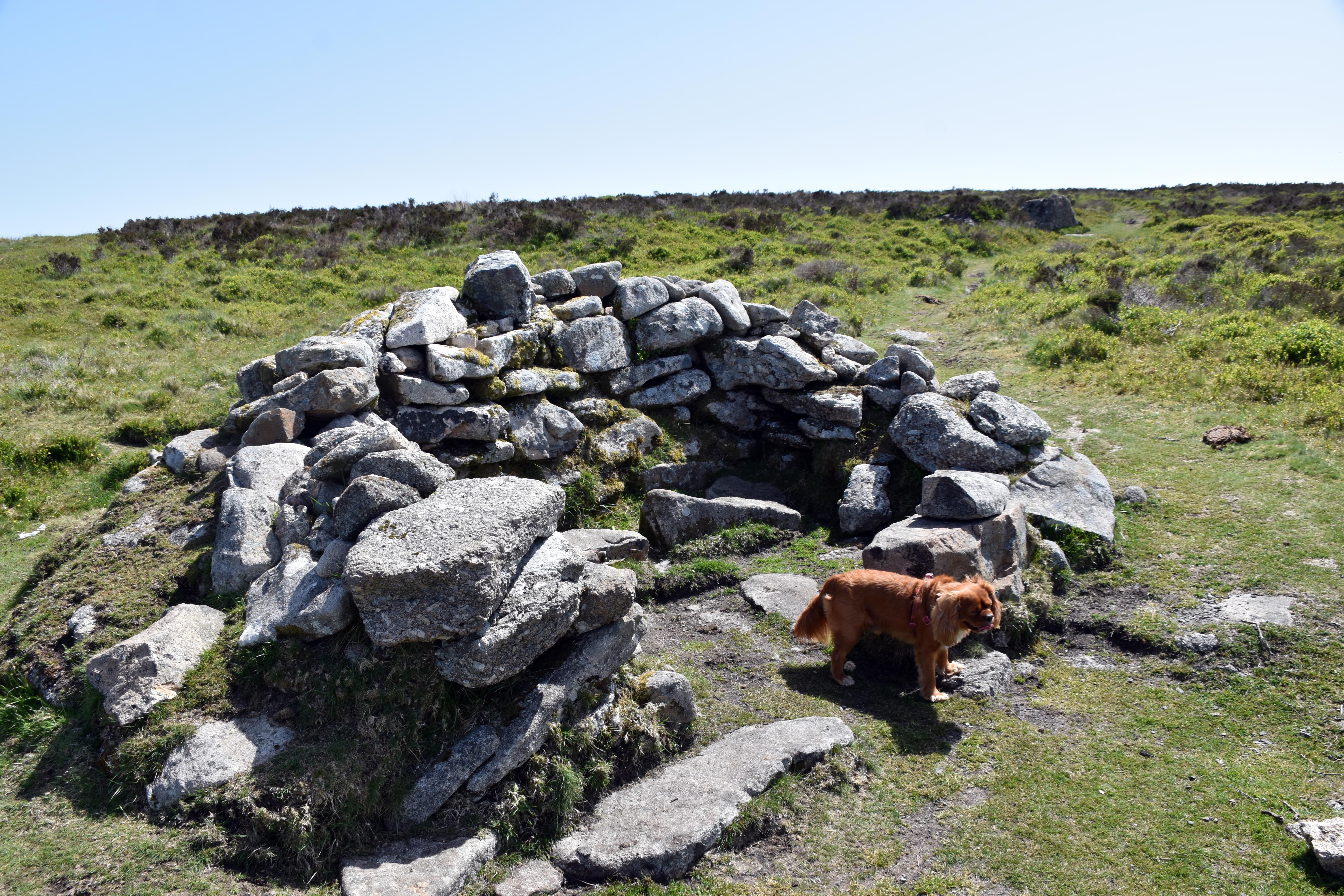
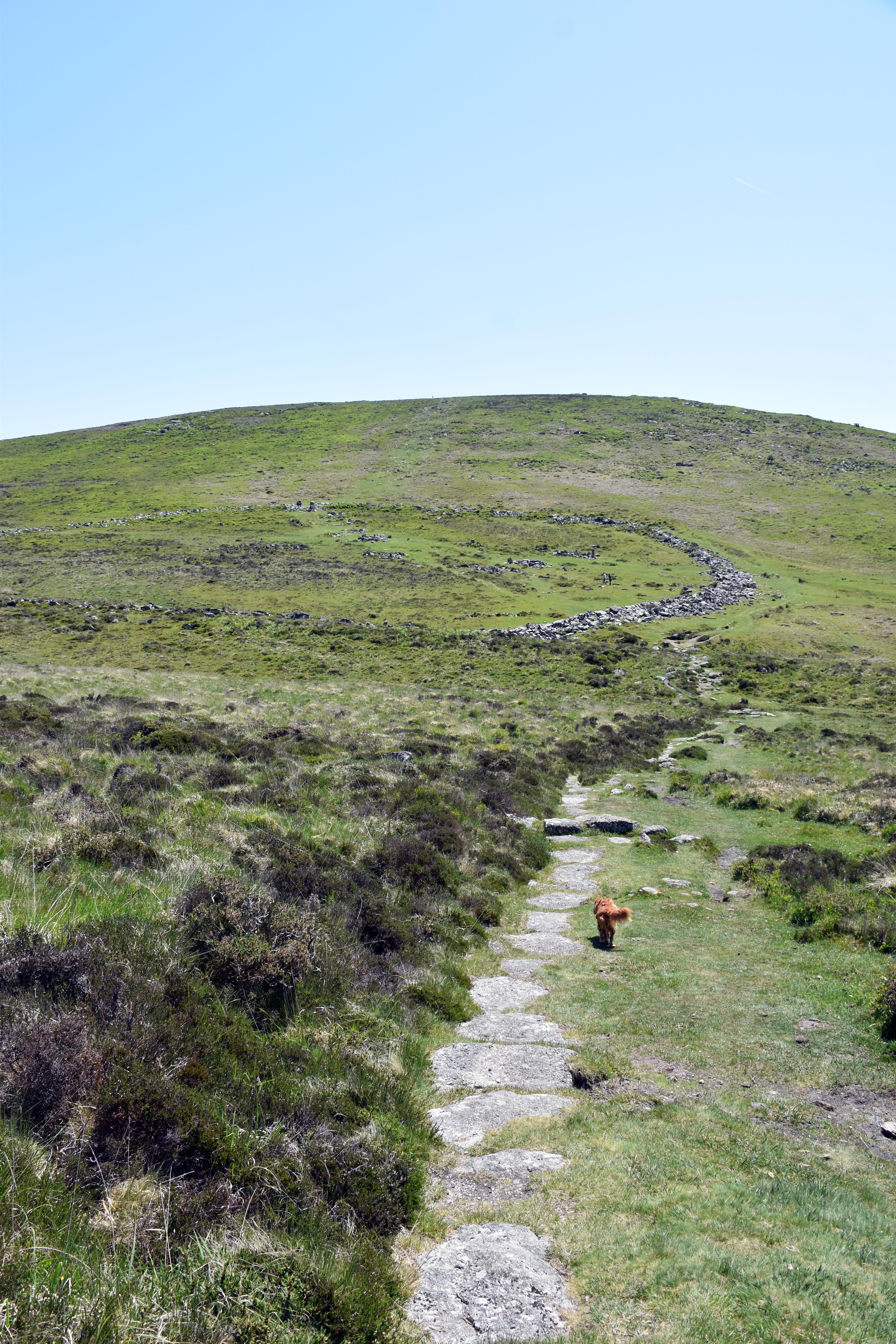
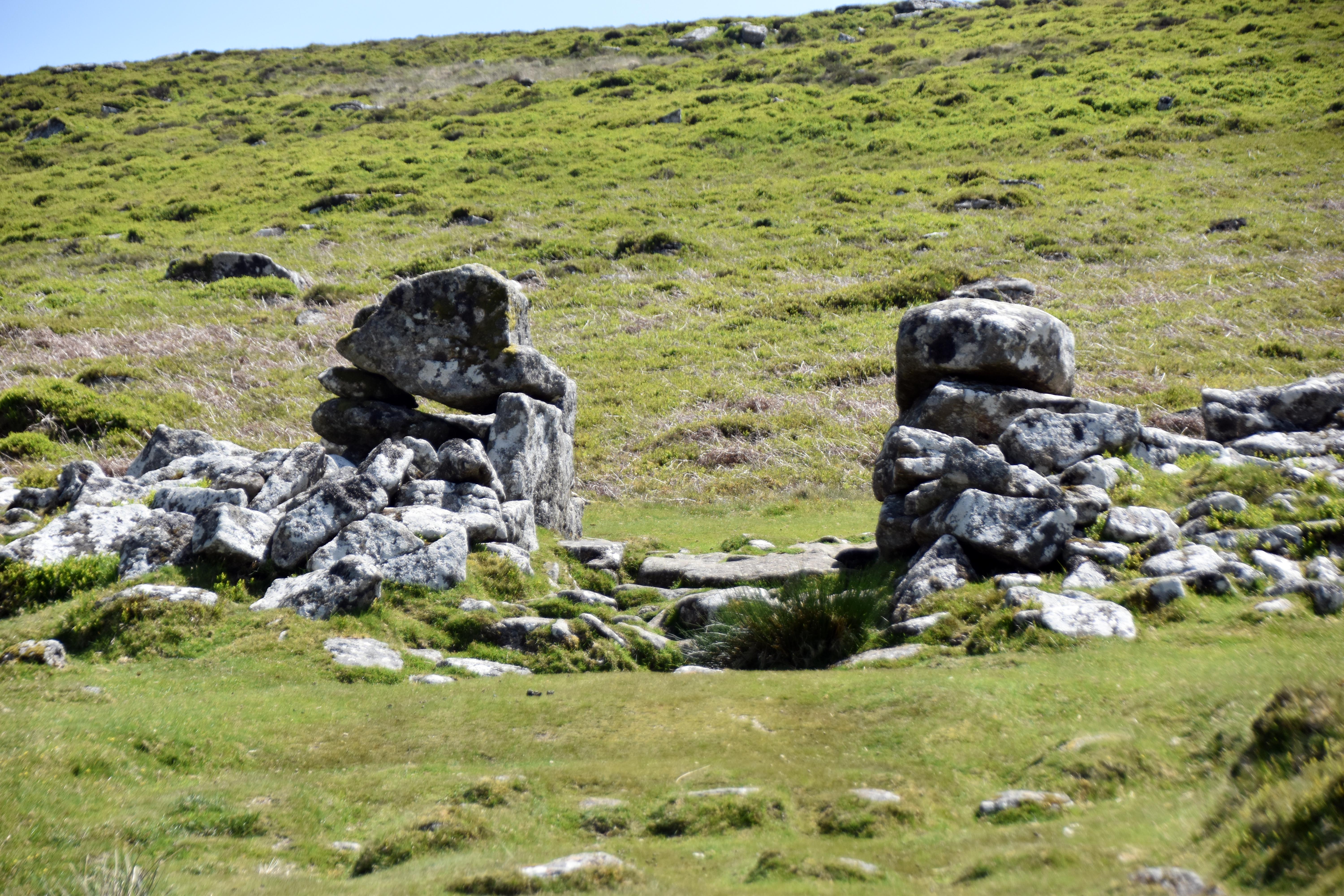
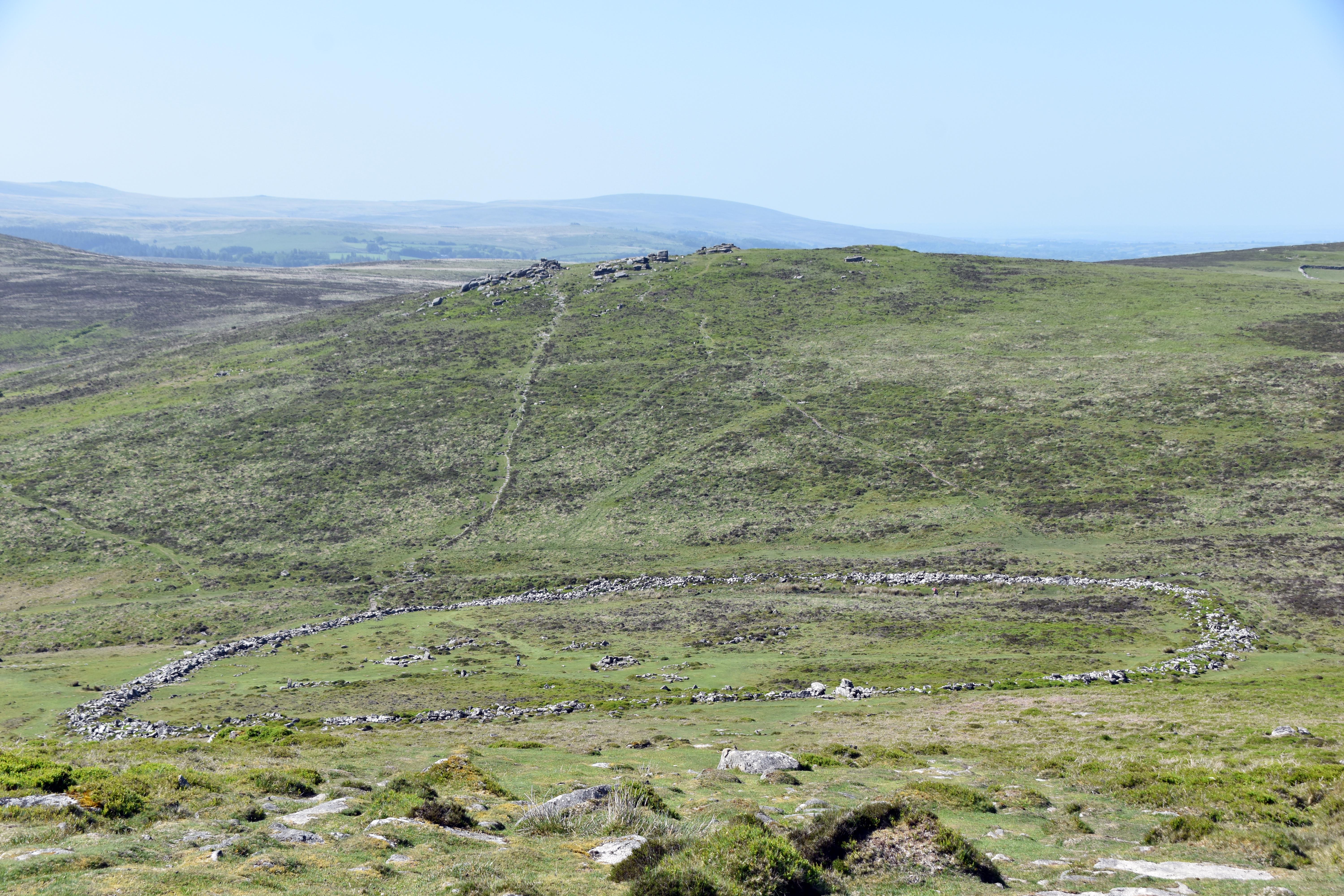
Grimspound is one of the best‑preserved Bronze Age settlements in the Westcountry. If given a choice between visiting Stonehenge and Grimspound, I’d choose Grimspound every day of the week. Stonehenge is like visiting a Bronze Age place of worship, whereas at Grimspound you can get a real sense of what an actual Bronze Age settlement would have looked like. The bases of 24 huts can still be made out clearly, and it doesn’t take much imagination to picture the thatched roofs that once sat atop them. A slight word of caution is needed, as in the late Victorian era a well‑meaning but less archaeologically skilful group of enthusiasts — including our friend the Reverend Sabine Baring‑Gould from our Lewtrenchard walk — decided to move some of the granite around to ‘tidy up’ the site. They would not have wanted to move any more granite than necessary, but there is some hesitation in saying they were entirely accurate. Then again, Stonehenge has undergone similar tidying‑ups over the years.
In some of the huts you can make out hearth stones and cooking pits. There are raised platforms and even L‑shaped paved entrances. When new, these would have looked very impressive indeed, and the substantial granite wall would have been even more imposing than it is now. Originally it would have been at least the height of a man, with large boulders on the outside and inside and rubble infill between. This would have kept livestock in and, more importantly, unwelcome guests out — whether wolves, bears, or hostile tribes. There are many isolated Bronze Age hut circles around this settlement, suggesting it may have played a role similar to the Saxon burghs, where in times of trouble everyone could head to this settlement, bringing their valuable livestock with them until the danger had passed.
This settlement was probably in its heyday about 3,500 to 3,000 years ago. How many of our houses and communities will still be in evidence 3,000 years into the future? Granite lasts longer than most building materials, although intriguingly they have discovered flint tools and arrowheads here — intriguing because there are no flint deposits for many miles, suggesting either trade or long wanderings by some members of the community.
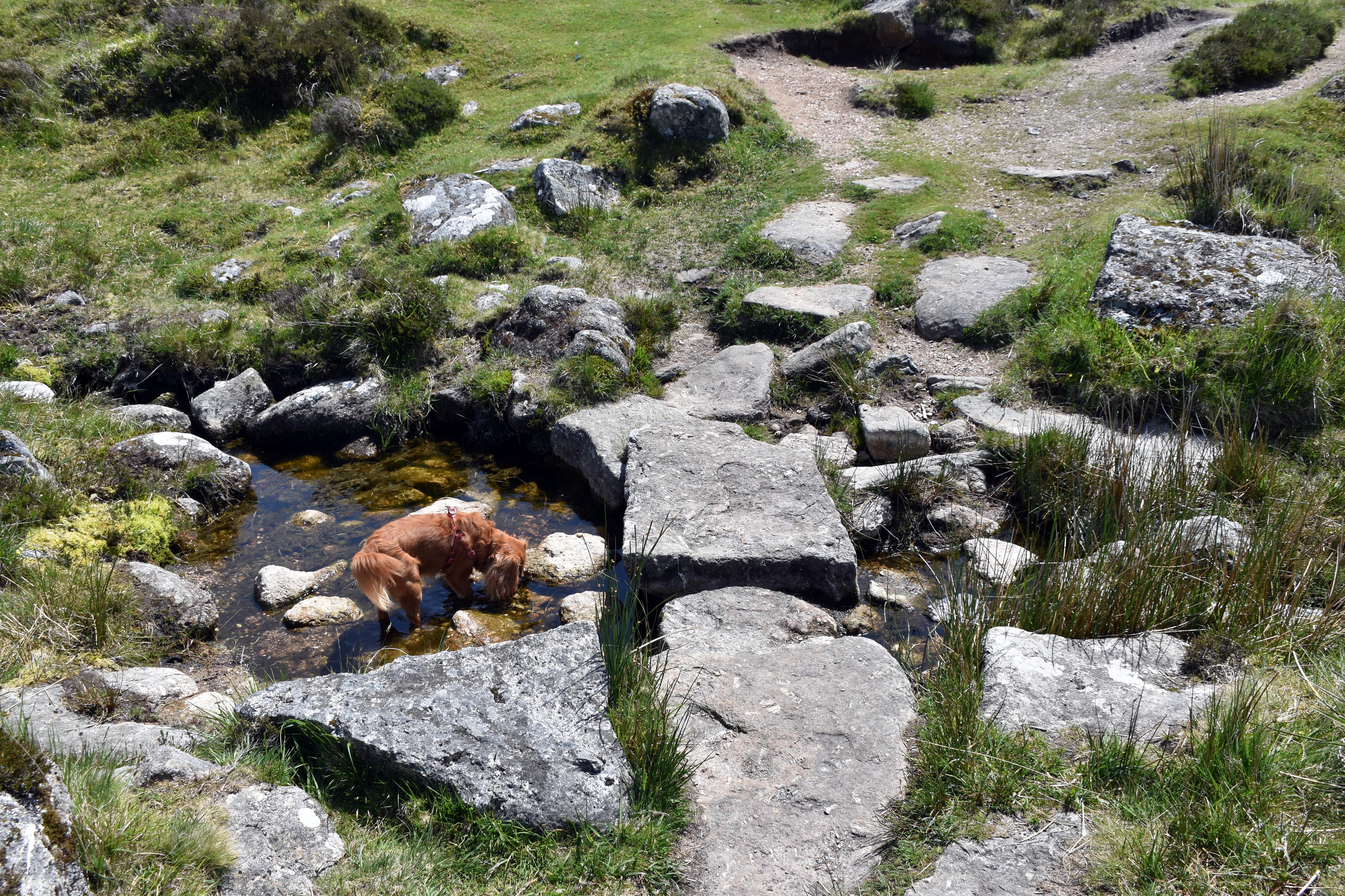
There is so much to see as you wander around Grimspound, and Rupert was happy to find that it lay next to some sources of water, which on this hot day were very welcome. Despite being well known and relatively easy to reach, it is never overwhelmed by visitors. You can have the place to yourself for long periods and imagine life here over 3,000 years ago. We now think of Dartmoor as a bleak place, but the sheer number of hut circles, stone rows, and full settlements like this one illustrates that it was once a hive of activity — especially when you consider how low the population density of the country was at that time.

|
|
|
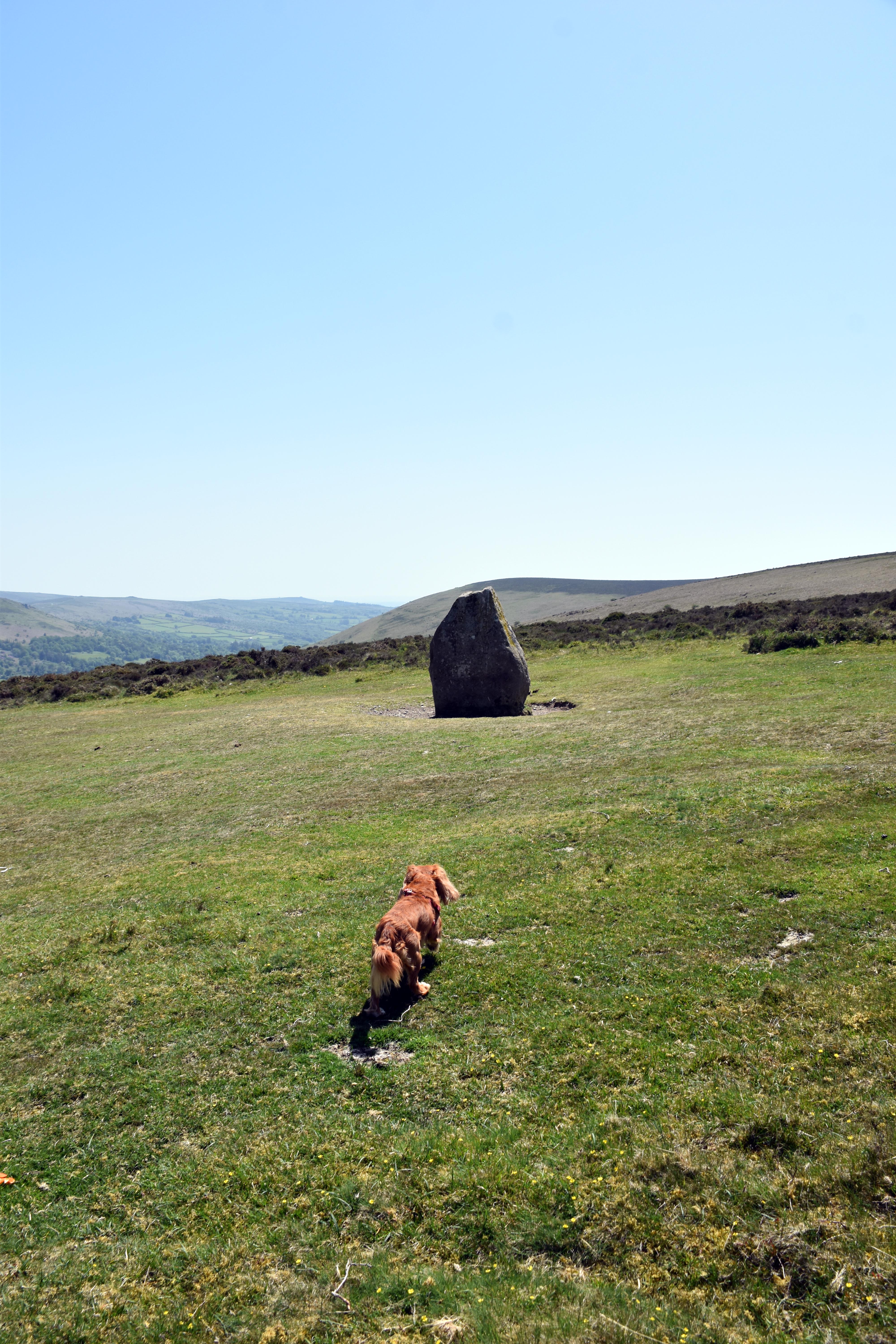
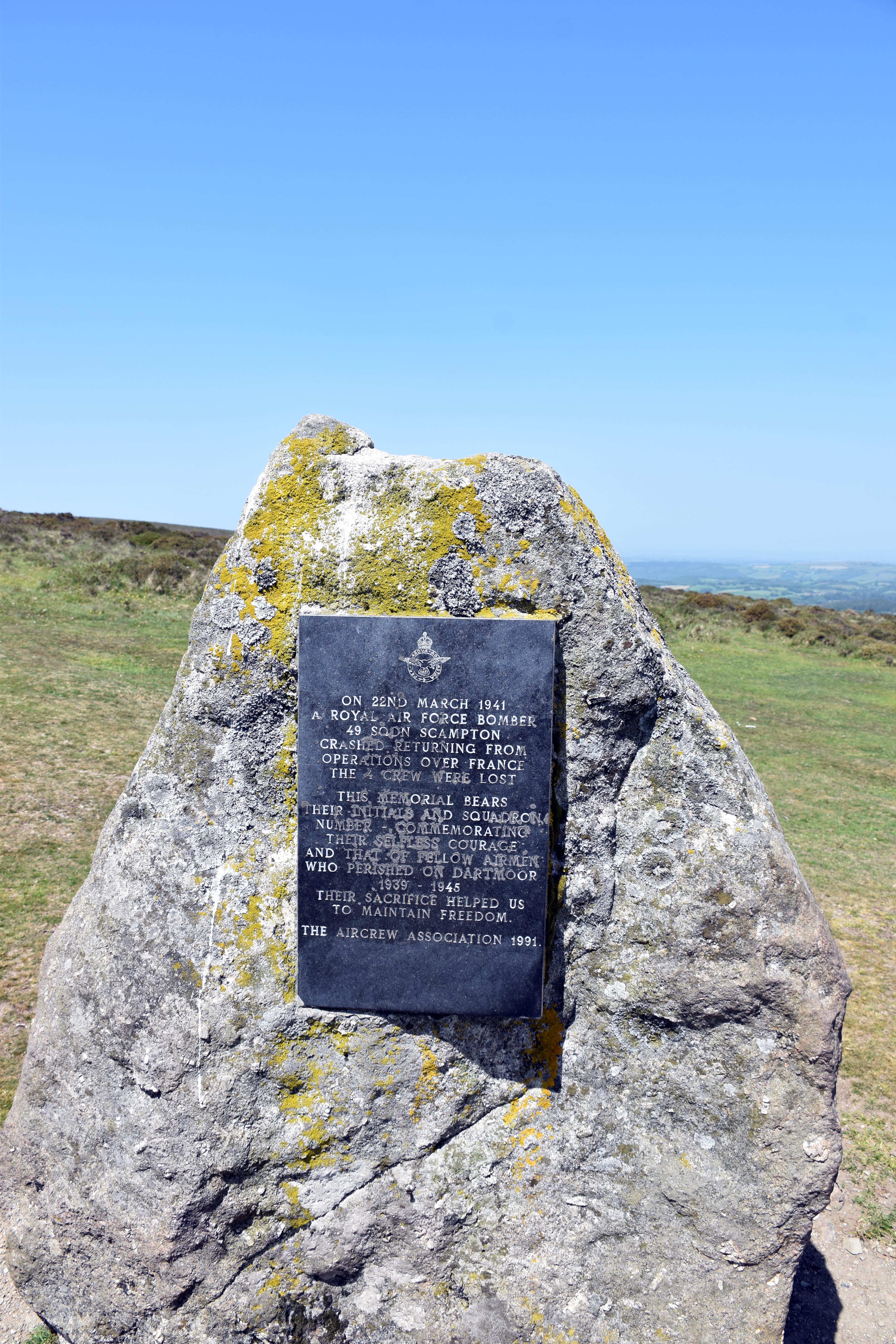
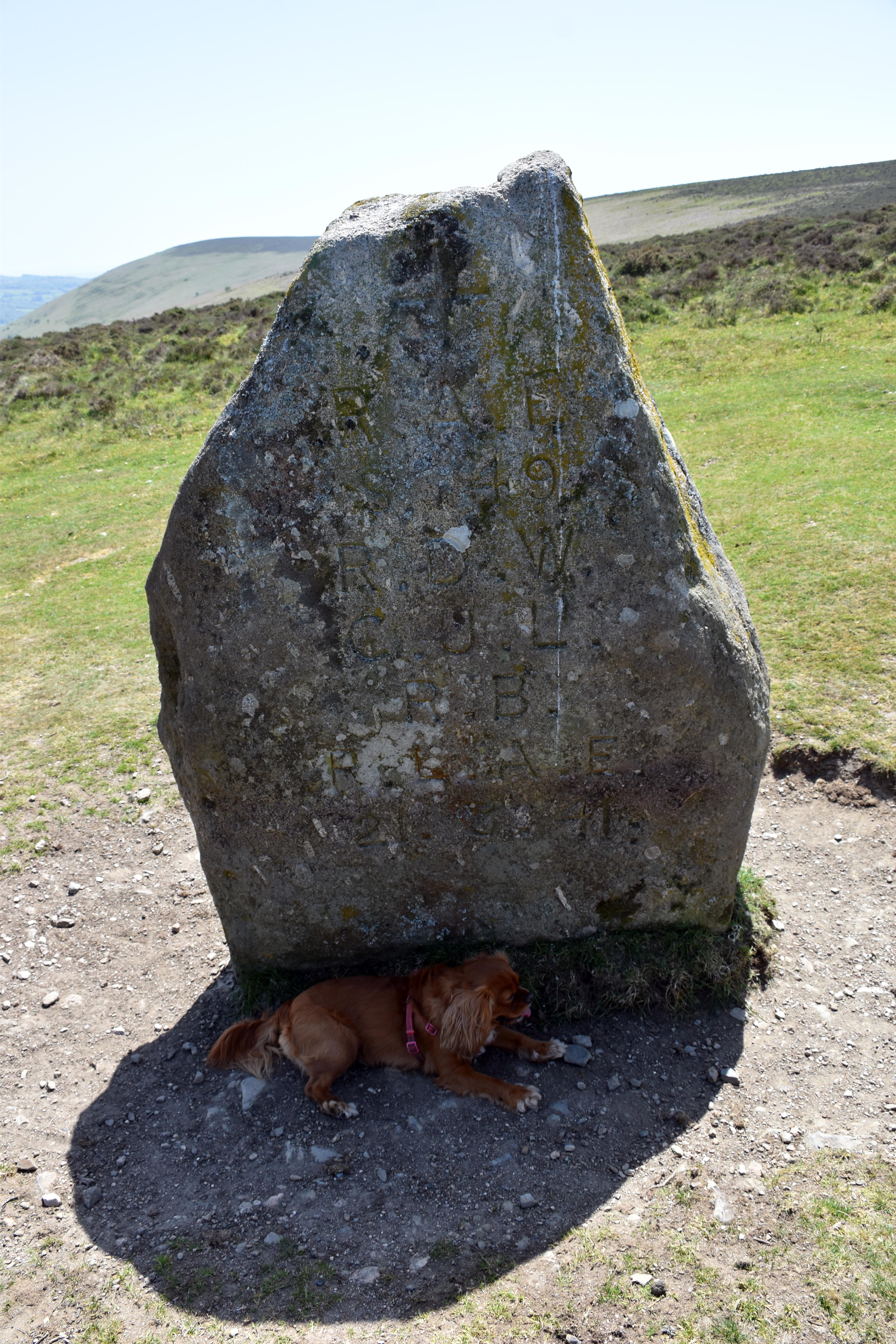
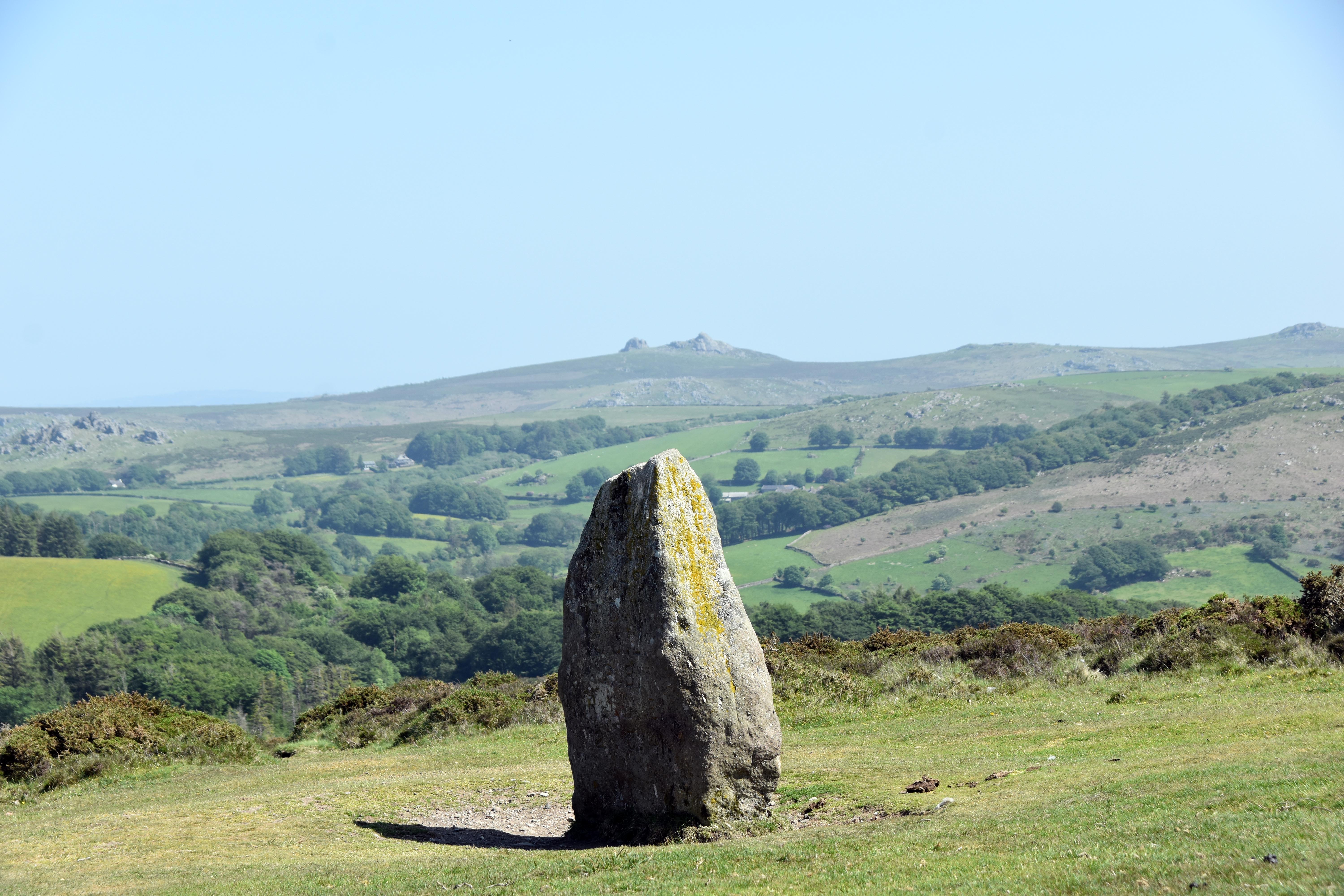
After exploring, we headed east to find the memorial to the 1941 Handley Page Hampden that crashed after becoming lost in cloud with a broken radio. The crew descended to reorientate themselves over what they thought was the English Channel, only to find they had flown into the high ground of Hameldown on Dartmoor. The twin‑engined bomber had been laying mines in the Bay of Biscay to hinder U‑boats at Lorient. It was returning to RAF Scampton in Lincolnshire when the accident occurred. Initially the pilot alone survived the impact, although he sadly died the next day of his injuries. The pilot and one other crewman are buried in Exeter’s Higher Cemetery, which we visited a few weeks ago specifically to find the CWGC graves there. The other two crew were buried in their home towns at their families’ request. The memorial was first commissioned by the pilot’s mother, Lady Marjorie Cecilia Wilson, and one side bears the original dedication with the initials of all the crew and the date of the crash. In 1991 a more expansive memorial was added on the other side. In one of those spine‑tingling coincidences, as we sat down to eat lunch with magnificent views towards Hay Tor and the east, a song incorporating the Last Post was the first to play in a shuffle of thousands of tracks. An uncanny and entirely appropriate occurrence.
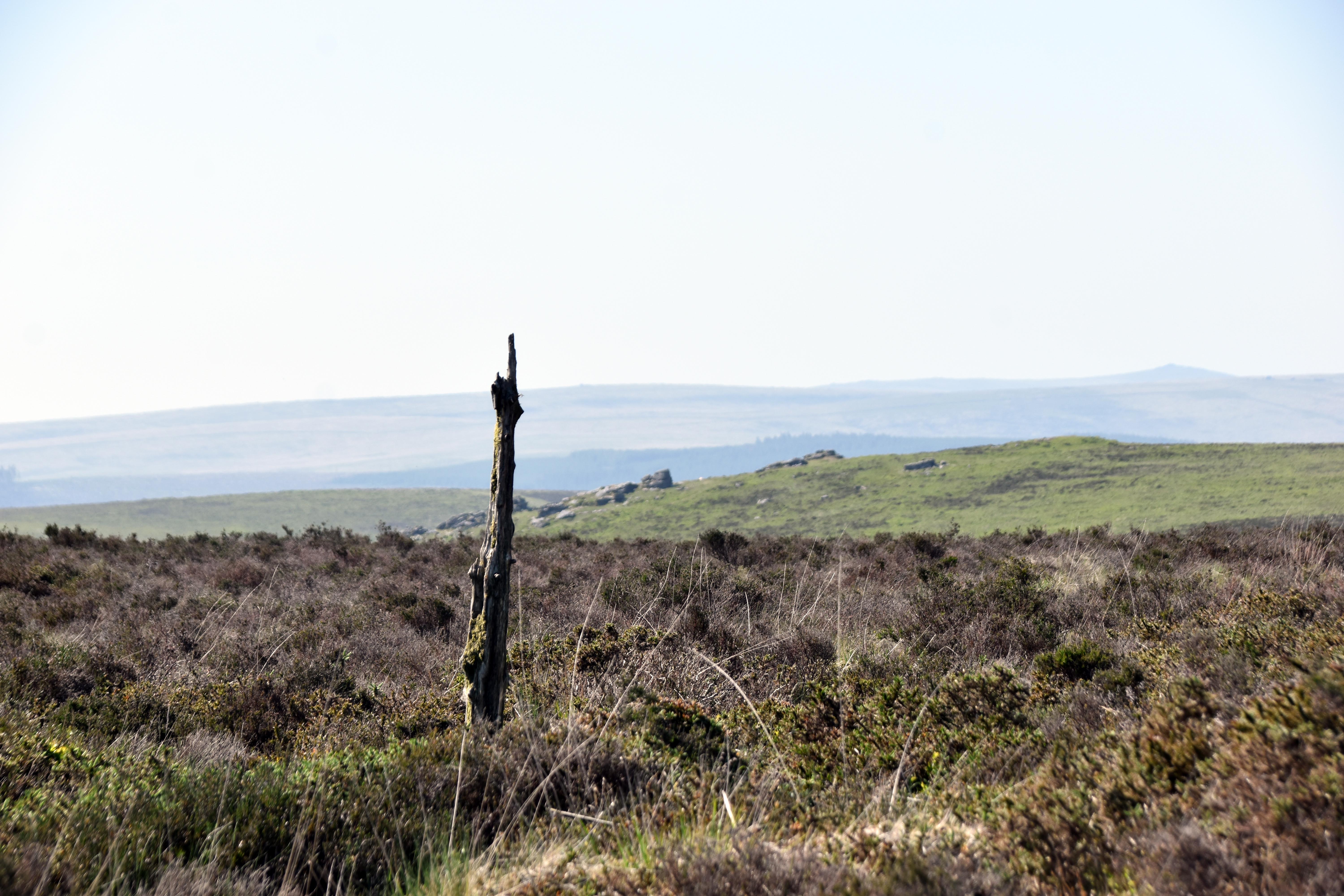
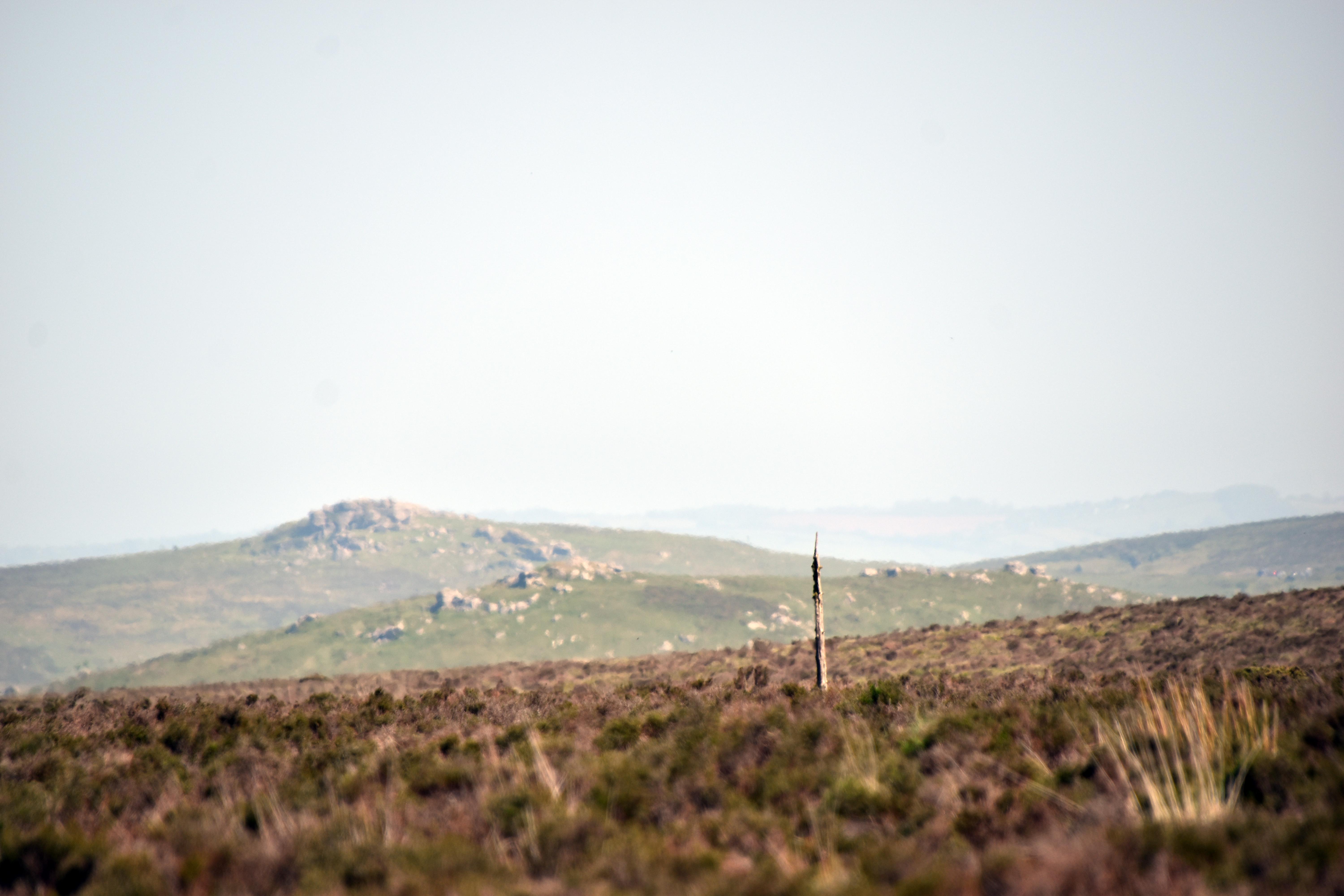
It should also be pointed out that Hameldown Hill would not have been a smooth place to attempt a crash landing anyway, as at the time it was littered with anti‑glider poles. In 1940, after the Fall of France and with the threat of invasion very real, Hameldown was identified as one of the few relatively flat and unbouldered potential landing areas in the South West. Mindful that the Germans had used paratroopers to devastating effect in their invasion of the Low Countries and France, the authorities covered this area with long sharp poles to deter any gliders or paratroopers from landing. Remarkably, more than 85 years later, some of those wooden poles are still standing, evoking the period when invasion was a very real threat.
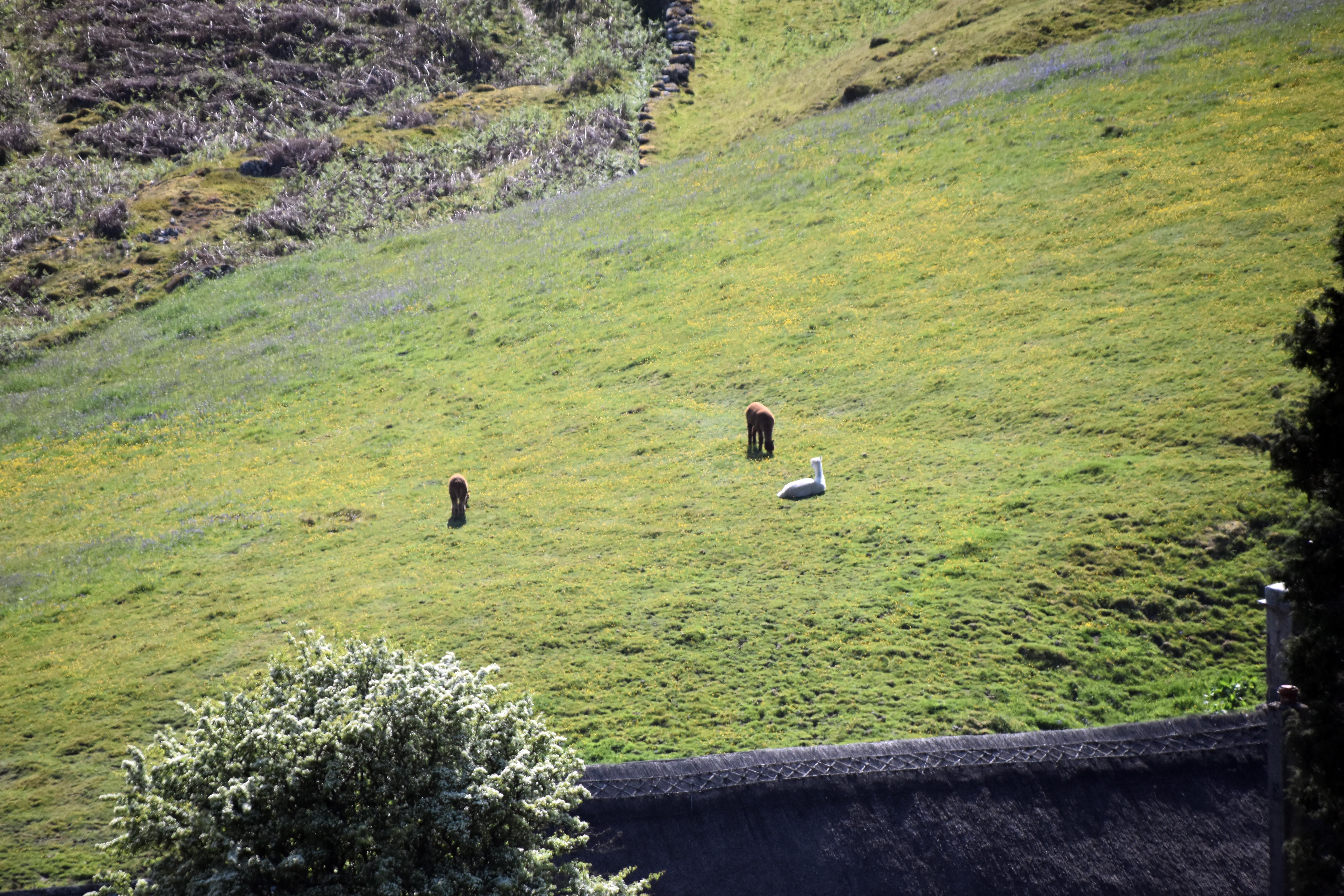
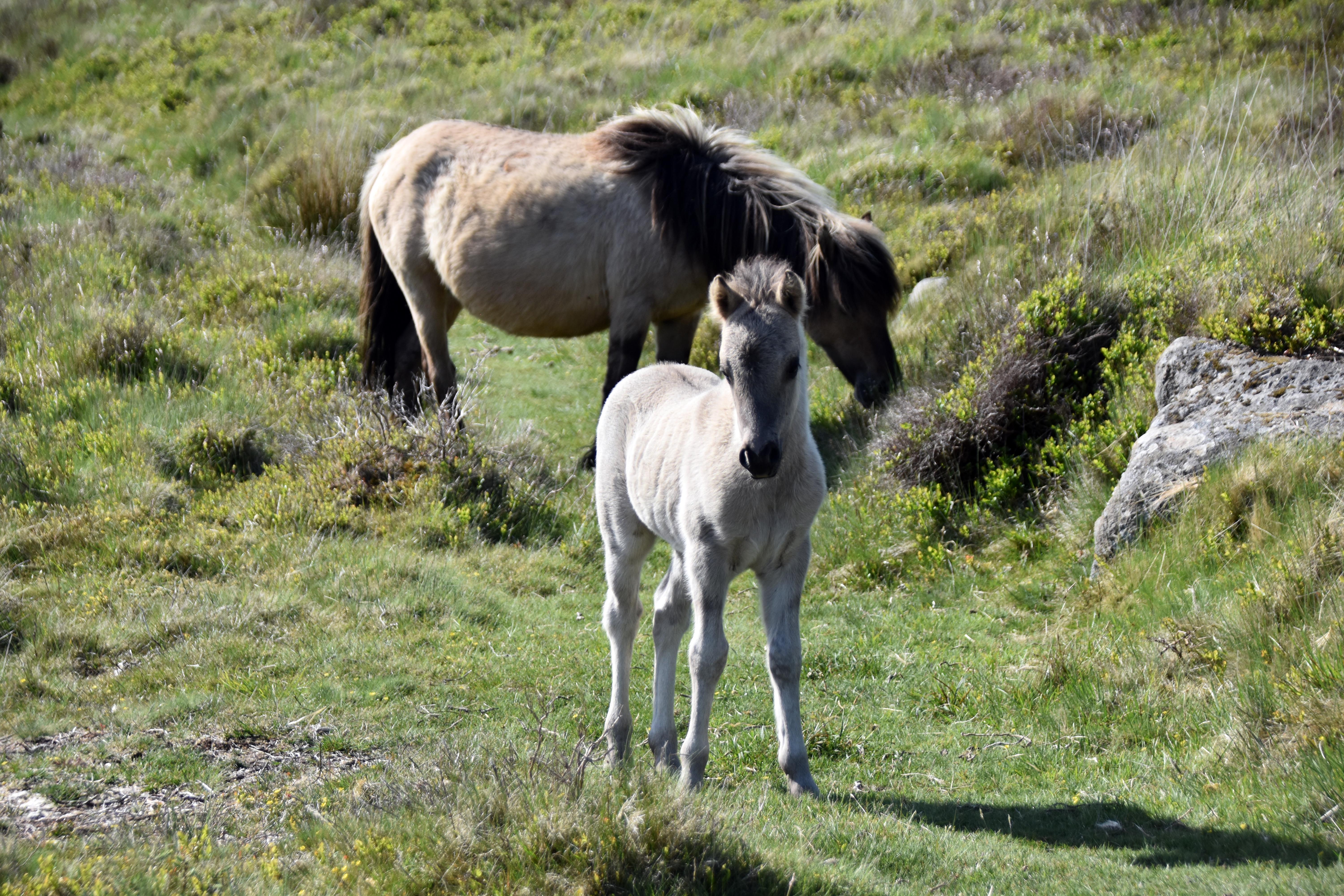
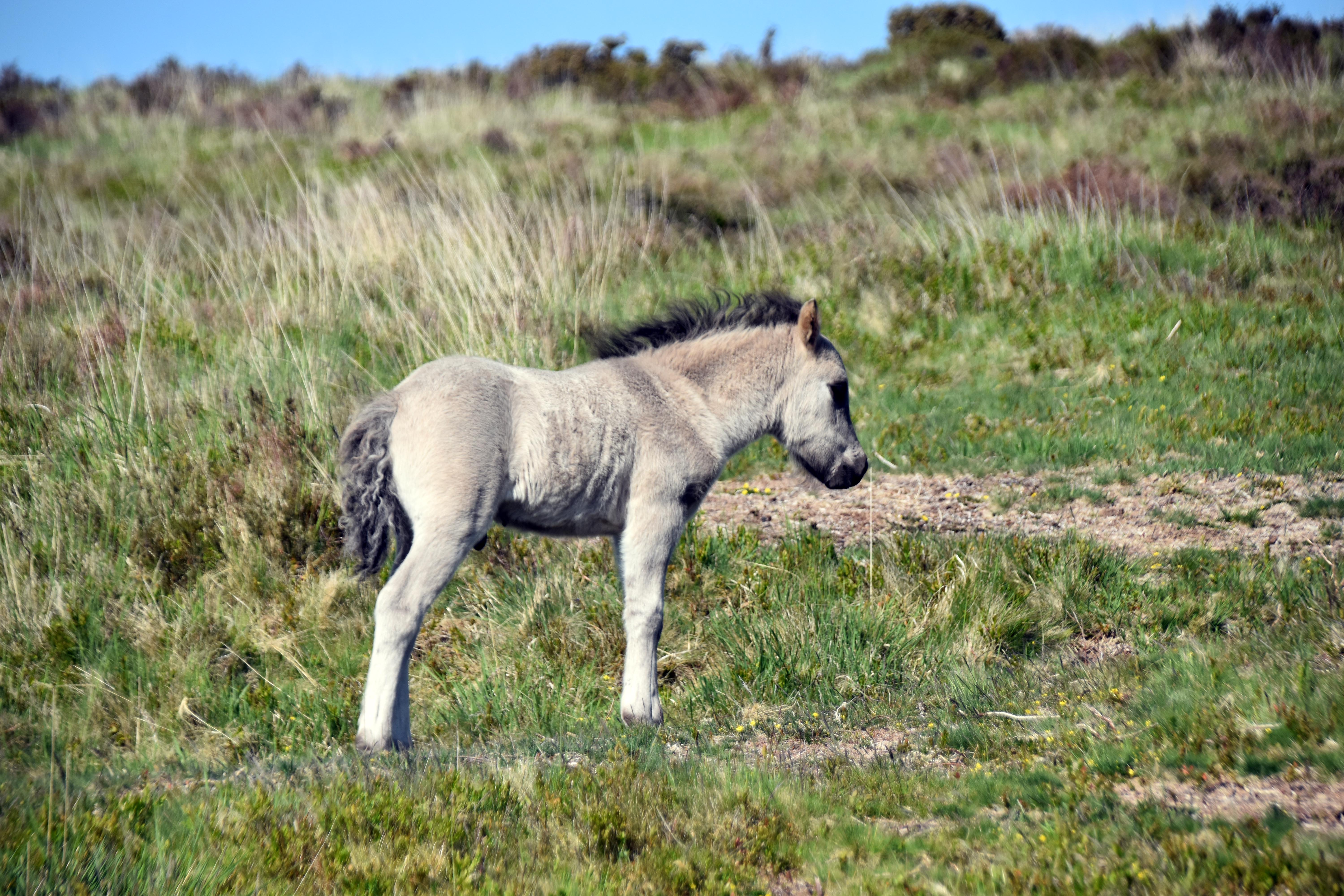
From here we walked up to Hameldown Tor, passing several of those glider poles as we went. As the sun was lower in the sky, it cast interesting shadows. The bluebells were as vivid as ever in the lower light. We then headed back down to Grimspound from the opposite direction and followed the Two Moors Way, encountering plenty of ponies and, more incongruously, some alpacas on our route. Those are certainly something Bronze Age people would not have seen in this landscape. And of course, all the tin‑mining gouges in the landscape would not have been there either. Dartmoor may look like a natural environment untouched for millennia, but in reality the entire area has been shaped by agriculture, industry, and settlement. You may think you have escaped the modern world, but you have not escaped the historical one.
|