

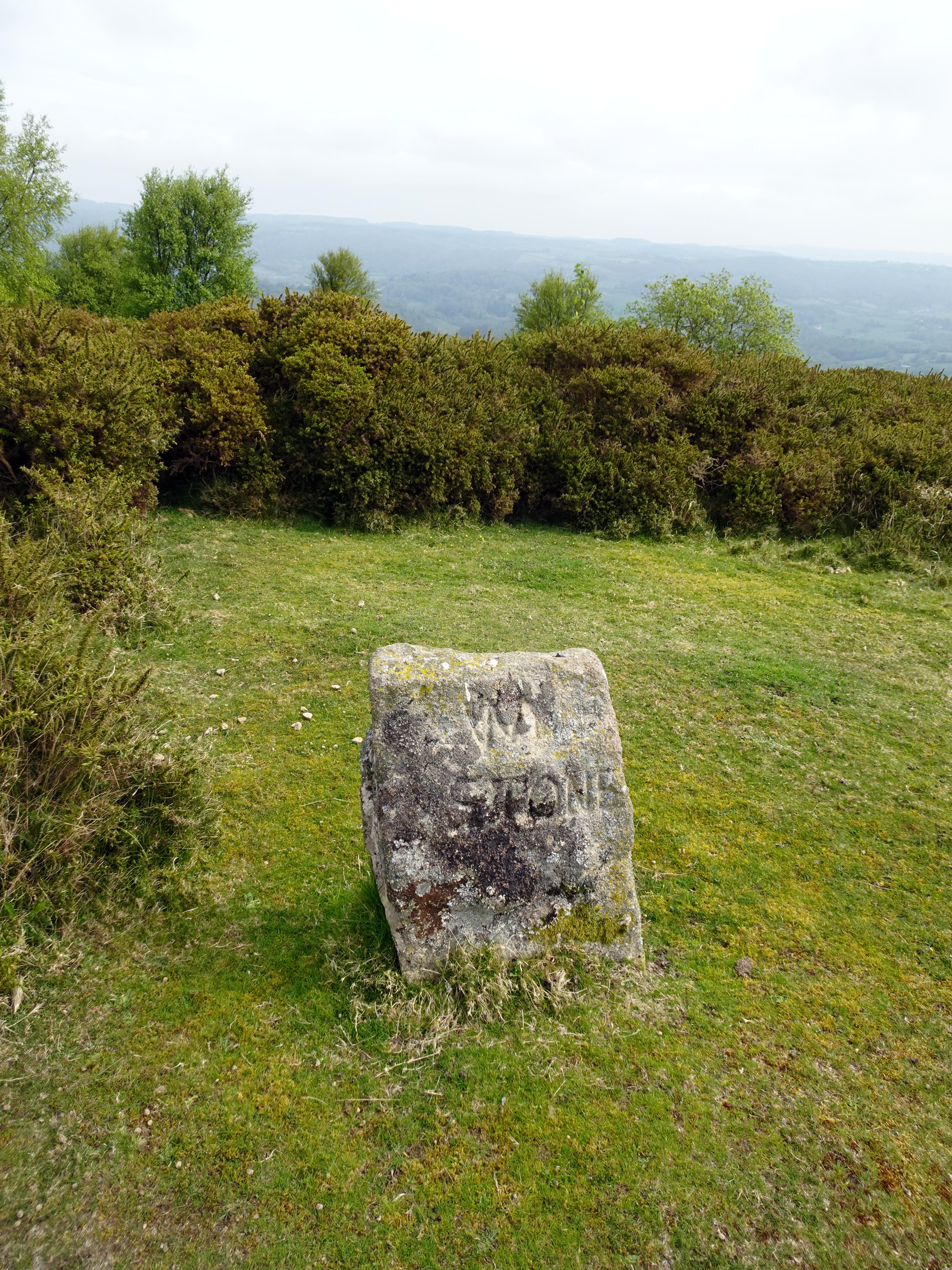
The William Stone, or Wm Stone as it is actually inscribed, stands on the lower slopes of Haytor Down on the boundary between Ilsington and Bovey Tracey parishes. It is one of a line of named stones set up in the 1850s by the 11th Duke of Somerset, Edward Adolphus Seymour, who was lord of the manor of Ilsington and whose Dartmoor home was Natsworthy, north of Widecombe. In 1853 and 1854 he had a series of granite posts put up to mark the limits of his land, most of them inscribed with his initials “DS” and the date, and they were placed in between older boundary points and natural rocks that were already recognised locally.
Interestingly, the Duke went for a decidedly royal theme when it came to naming them, with “Prince Albert”, “Victoria” and “Prince of Wales”, but among these are two rather more mysterious names, “Old Jack” and “Wm Stone”. The Wm Stone is also the odd one out in another way, as it is the only stone in the series that does not carry the Duke’s DS.
One face of the stone is inscribed WM STONE and the other has the date 1853, with an Ordnance Survey bench mark cut below it. Early Ordnance Survey maps are said to record it as “Old William”, which suggests the inscription may be a shortened version of a longer name, and its rather rougher finish compared with its neighbours has led some to wonder whether it was adapted from an earlier boundary stone. It has also been suggested that the spot could be the Writelan Stan mentioned in the Anglo Saxon Peadington Landscore, an early estate boundary in this part of the moor. If so, the Duke’s men were simply marking a boundary that was already many centuries old.
The Wm Stone is one of the easier ones to find. It lies near the tracks on the lower, south eastern part of the down above Haytor Vale, along with the modern Prince of Wales stone put up by the National Park in 2001, Owlacombe Burrow and Prince Albert, which is close to the Haytor road. To the north west the line carries on past Old Jack and Victoria and the original Prince of Wales stone towards the point where Bovey Tracey, Ilsington and Manaton parishes meet. It should be said that some of these are much harder to track down, especially in summer when the bracken is high.
Like most Dartmoor boundary stones, the Wm Stone is a modest object, but it had a real job to do. Stones like this marked grazing rights and manorial and parish limits, and they would have been walked and checked during the regular beating of the bounds. It is rather nice to think that this one still stands on the open down between Haytor and Ilsington much as it did when it was first set up in 1853.


