|
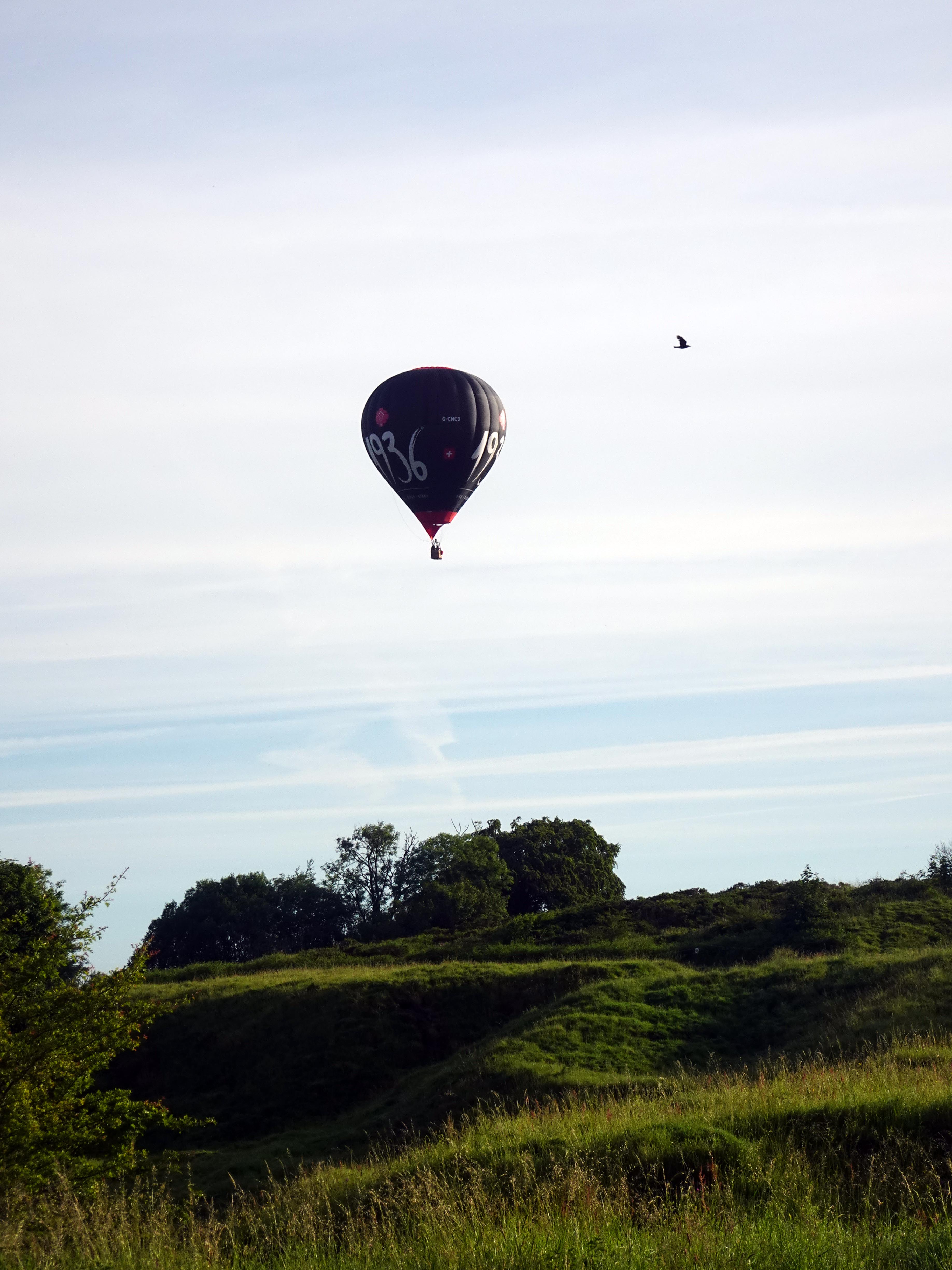
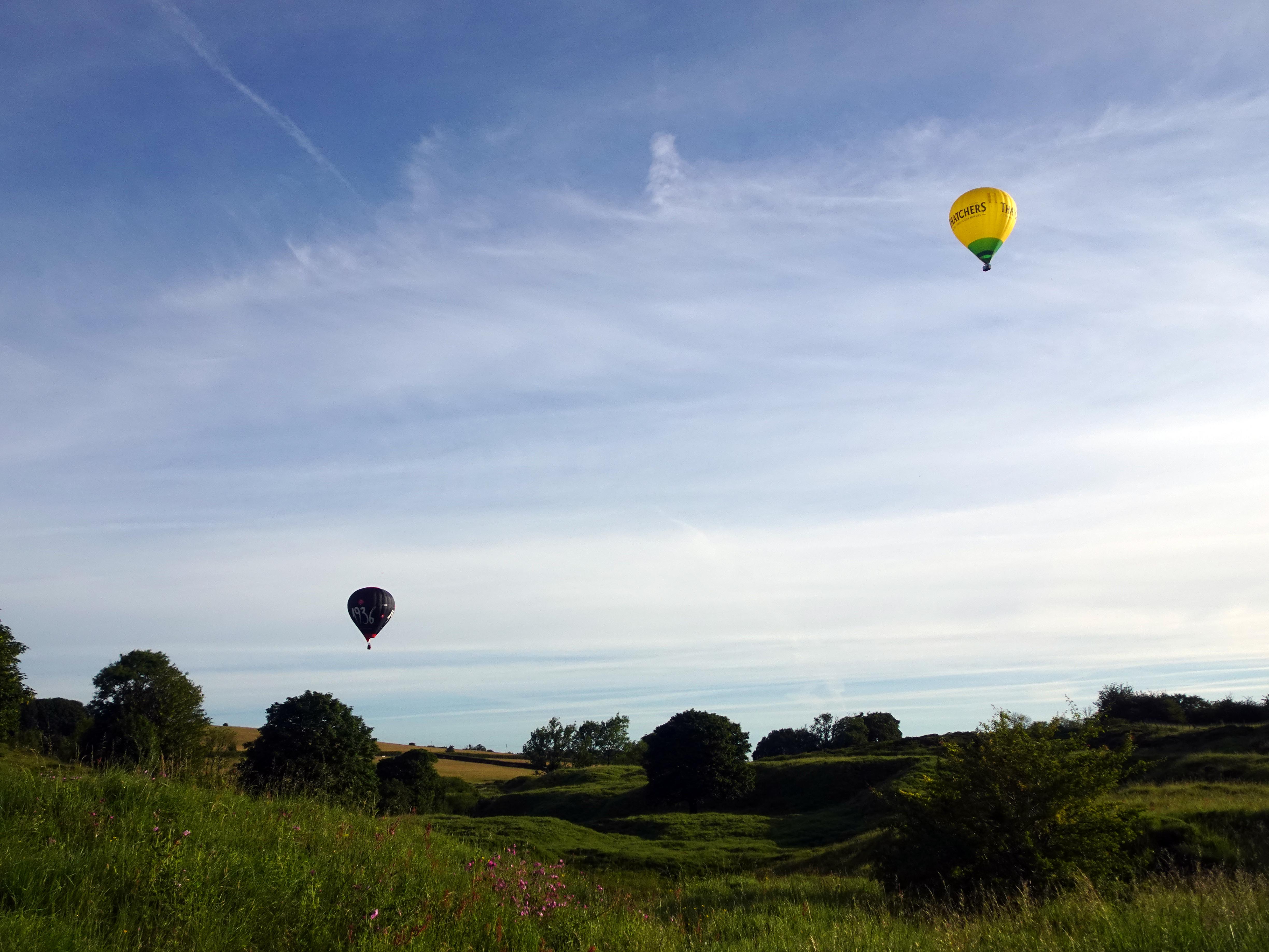
After a few weeks of forgettable weather, Rupert and I were treated to a spectacularly sunny day as we decided to explore some of the area around Cheddar Gorge. In fact, as we arrived in the Mendips very early, we were actually treated within minutes of our arrival to some striking hot air balloons keen to take advantage of the perfect summer flying conditions.
We had parked at the Ubley Warren Nature Reserve a few kilometres to the east of Cheddar Gorge in order to rendezvous with all the Roman and Medieval remains which help give historical layers in addition to the geographical layers of rock we would be seeing throughout the day. Funnily enough, the Romans were here for those very geological treasures themselves, but I’ll explain more of that later.
Humans have been attracted to this corner of Somerset since the earliest prehistory. The oldest complete skeleton of a human in England was found in Gough’s Cave, dating back 9,000 years. Evidence of art dates back 13,000 years, and they even have evidence of humans eating animals in caves in the area (and other humans) dating back 14,700 years. It is perhaps hard to believe that this dramatic landscape has evidence of continuous human residence and industry dating back to the last Ice Age. All of a sudden, Roman remains don’t seem quite so old when put against that timeline – but more so than their prehistoric counterparts, the Romans began to transform the physical landscape itself.
Before we even got out of the car, we could see the remains of a Roman fort from the car park. In fact, two of the balloons flew straight over it. There are also the remains of a Roman settlement on the opposite side of the fort and even a Roman amphitheatre (one of only 12 in the country) beyond that, which should be a clue that this was no mere fort of temporary occupation as the Roman legions advanced through the area. They were here to stay, and we would see why as we headed to Velvet Bottom.
The Romans were here for the naturally occurring lead deposits and started work extracting it from the local area just six years after their initial invasion in 43 AD. Although it is tempting to look at these Roman invaders as asset strippers conquering new lands to extract valuable minerals with a little help from the Roman Army (hence the fort) if the locals protested too much, they also brought the expertise, tools and organisational skills to extract these resources and also provided markets and customers to utilise this valuable commodity. Pigs of lead were stamped to show their origin and date of extraction and shipped all over the empire to provide lead piping and roofing materials, amongst a host of other uses. You could almost see it as the first example of globalisation (or at least Western Europeanisation), which certainly benefitted the Romans but probably enriched certain well‑connected local aristocrats and provided opportunities for locals to learn lead extraction techniques that would long outlast the Roman presence in England.
|
|
|
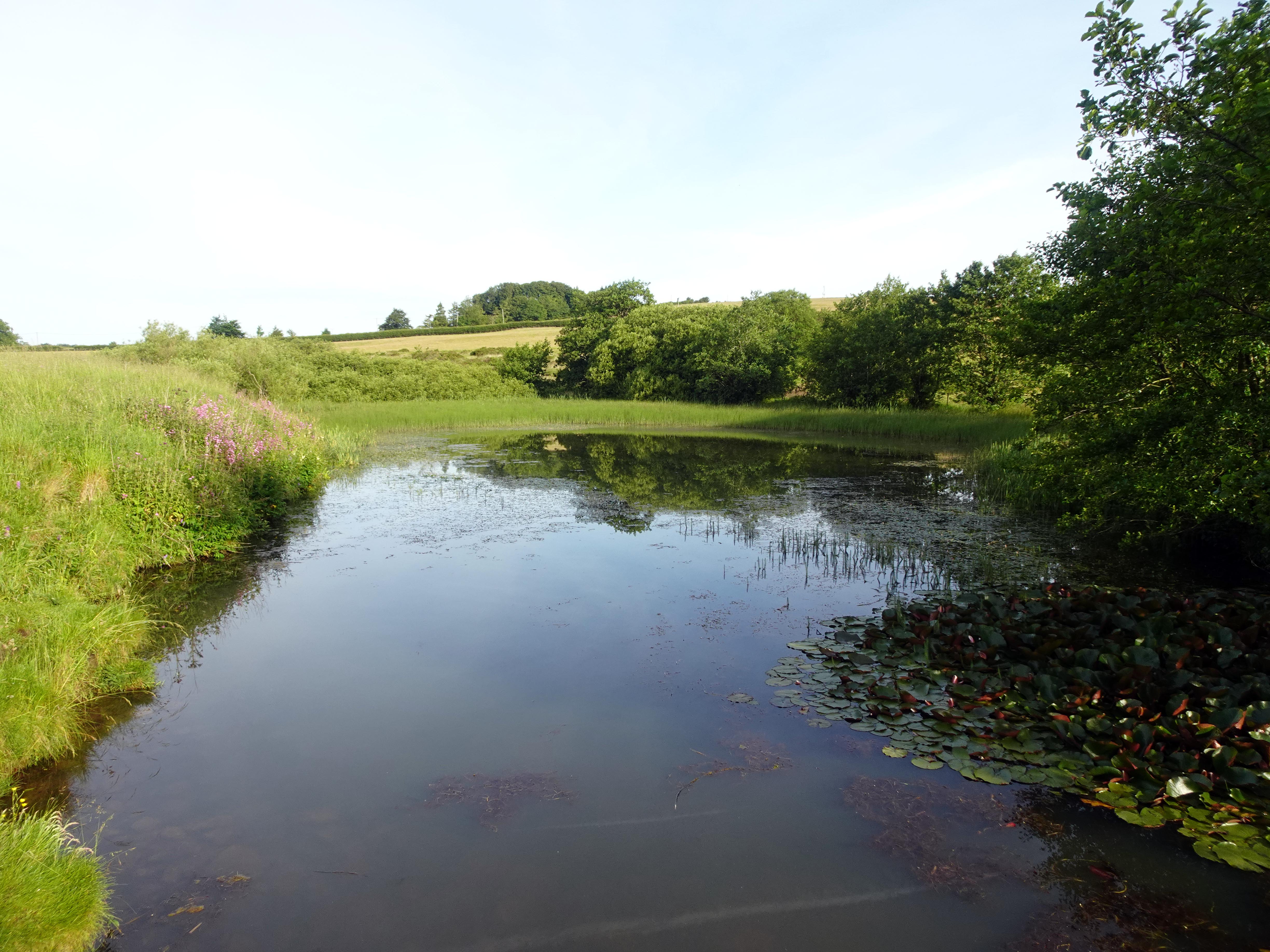
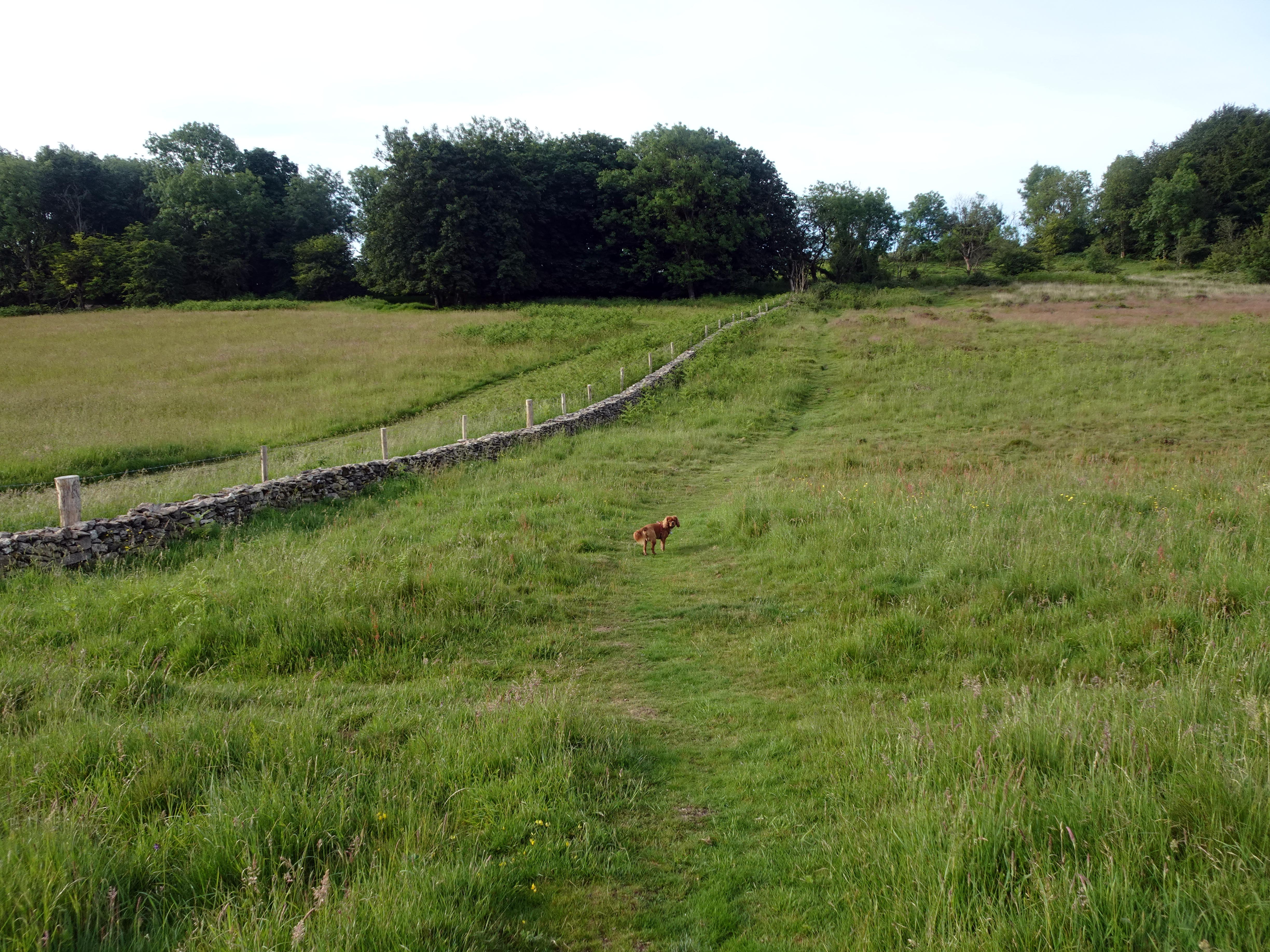
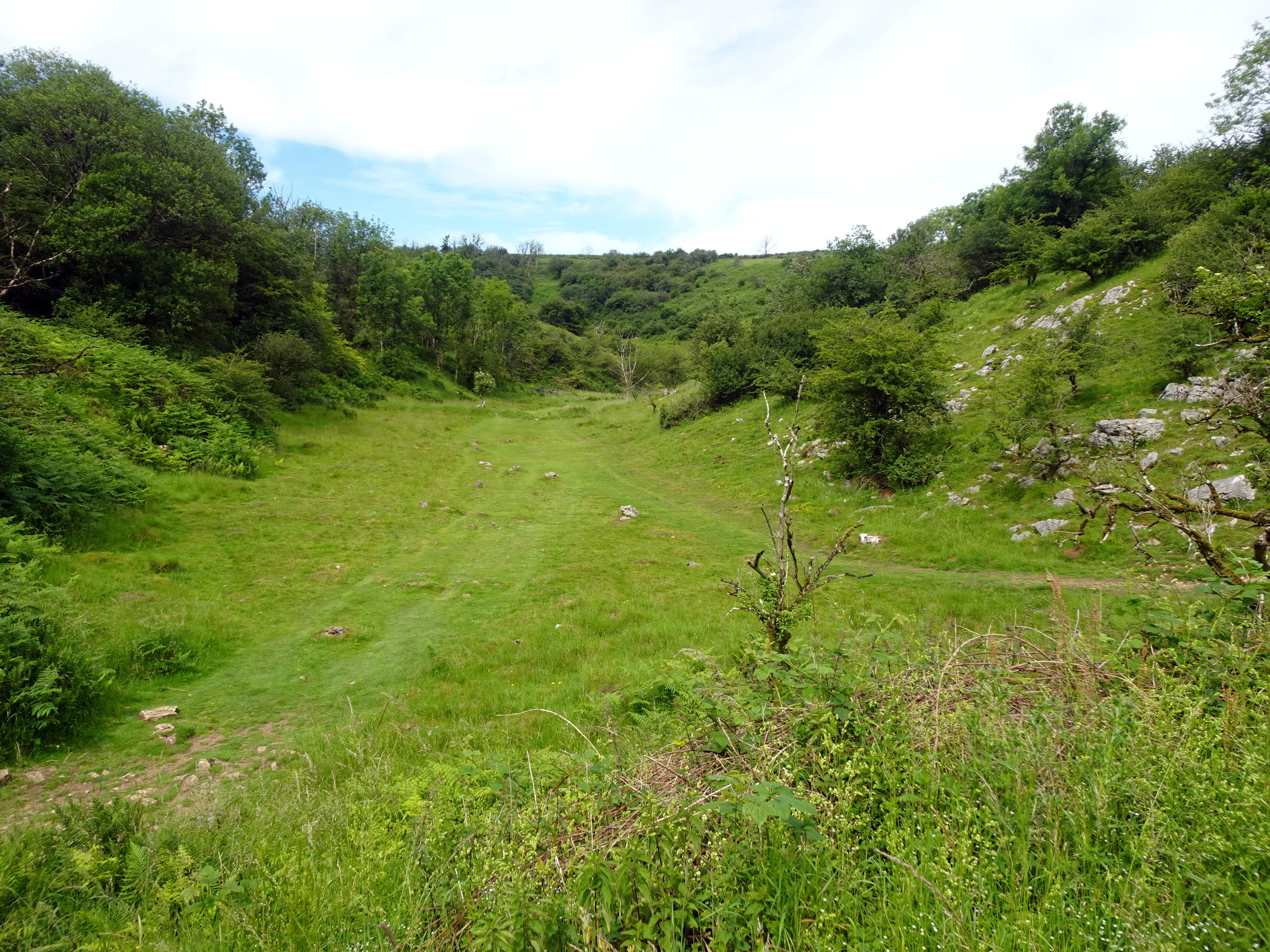
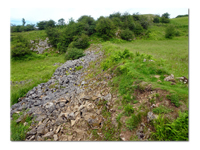
As we walked down Velvet Bottom, we started along a suspiciously straight path which once had been a horse‑drawn tramway for Victorian lead miners, illustrating just how valuable the commodity was that it was still being exploited nearly 2,000 years later. In fact, most of the mining landscape that we saw down this valley was created by the Victorians, who had access to more machinery and centuries of expertise to keep on finding value in this area, much of it reprocessing much older Medieval and Roman workings. However, their techniques were not so different to the Romans in that they both used dams to collect water and then breach it to clear topsoil and old mining debris to expose fresh veins of lead to mine. The water collected could also be used in buddle pits to help separate the heavier lead ore from the naturally surrounding limestone rock. Furthermore, these dams could be used as settling beds to stop some of the more toxic by‑products of the lead extraction process from poisoning the water supply downstream. This obviously was far from foolproof, as an 1848 riot illustrates, when 50 locals from Cheddar came up the valley and smashed up lots of the equipment and facilities in frustration at their water being poisoned. The authorities could not identify who the rioters were, so charged the entire Hundred of Winterstoke for damages. They actually won their case of unlawful damage in the year of European Revolutions, when the authorities were very wary of rioters taking the law into their own hands. However, two decades later, the mining company concerned was discovered to be pouring out some of its polluted slime into one of the many limestone holes that appeared to make their problem go away. It was demonstrated that the polluted water did reappear to pollute the Cheddar fishponds and water supply and had to pay damages after all.
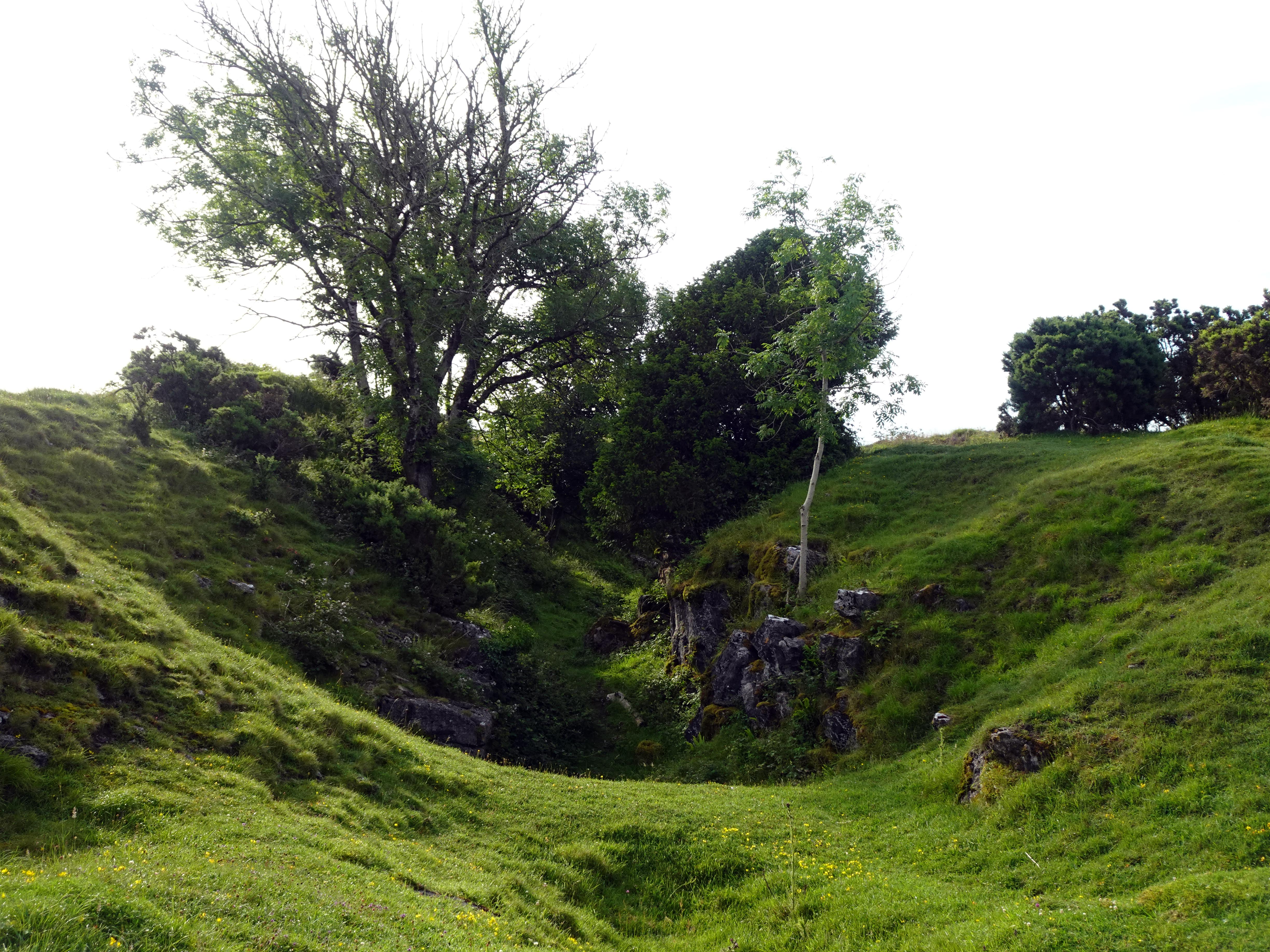
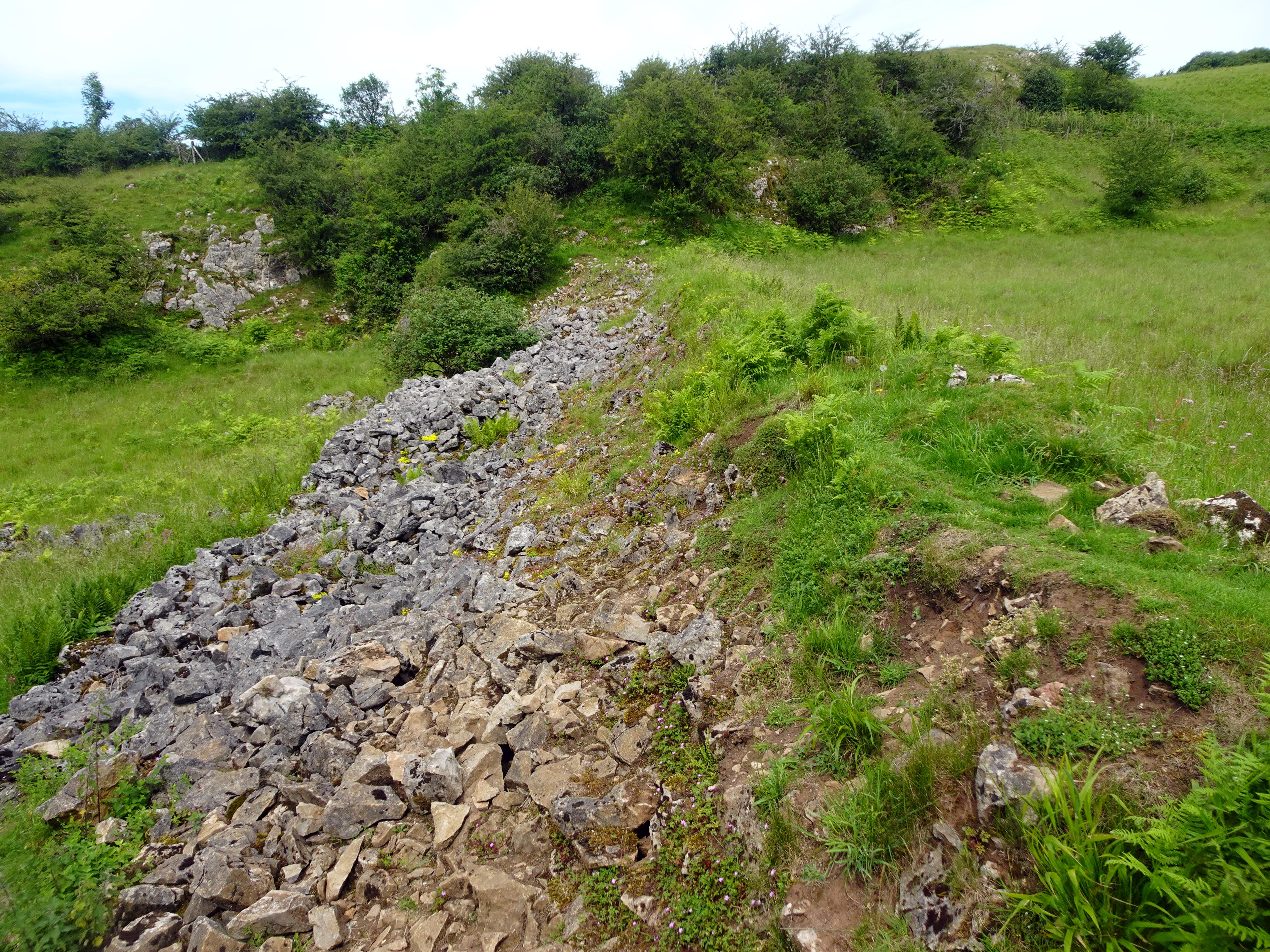
The whole valley of Velvet Bottom clearly shows evidence of extensive mining activity, the most obvious being the Victorian dams with their flat hinterland behind them. You can also see circular buddle pits, leats and spoil heaps. Once it would have been an industrial landscape as grim as any can be imagined, but nature has a way of reclaiming such spoiled land, and indeed the various upheavals of minerals and rocks actually created perfect environments for some very rare species of flora and fauna to take advantage of.
As we descended Velvet Bottom past the half‑dozen or so dams, we turned north into Long Wood and ascended up over the northern edge of Cheddar Gorge. As we did so, we passed Rhino Rift, an entrance to a cave complex that was obviously home to prehistoric man, as they discovered rhino and hyena teeth near its entrance.
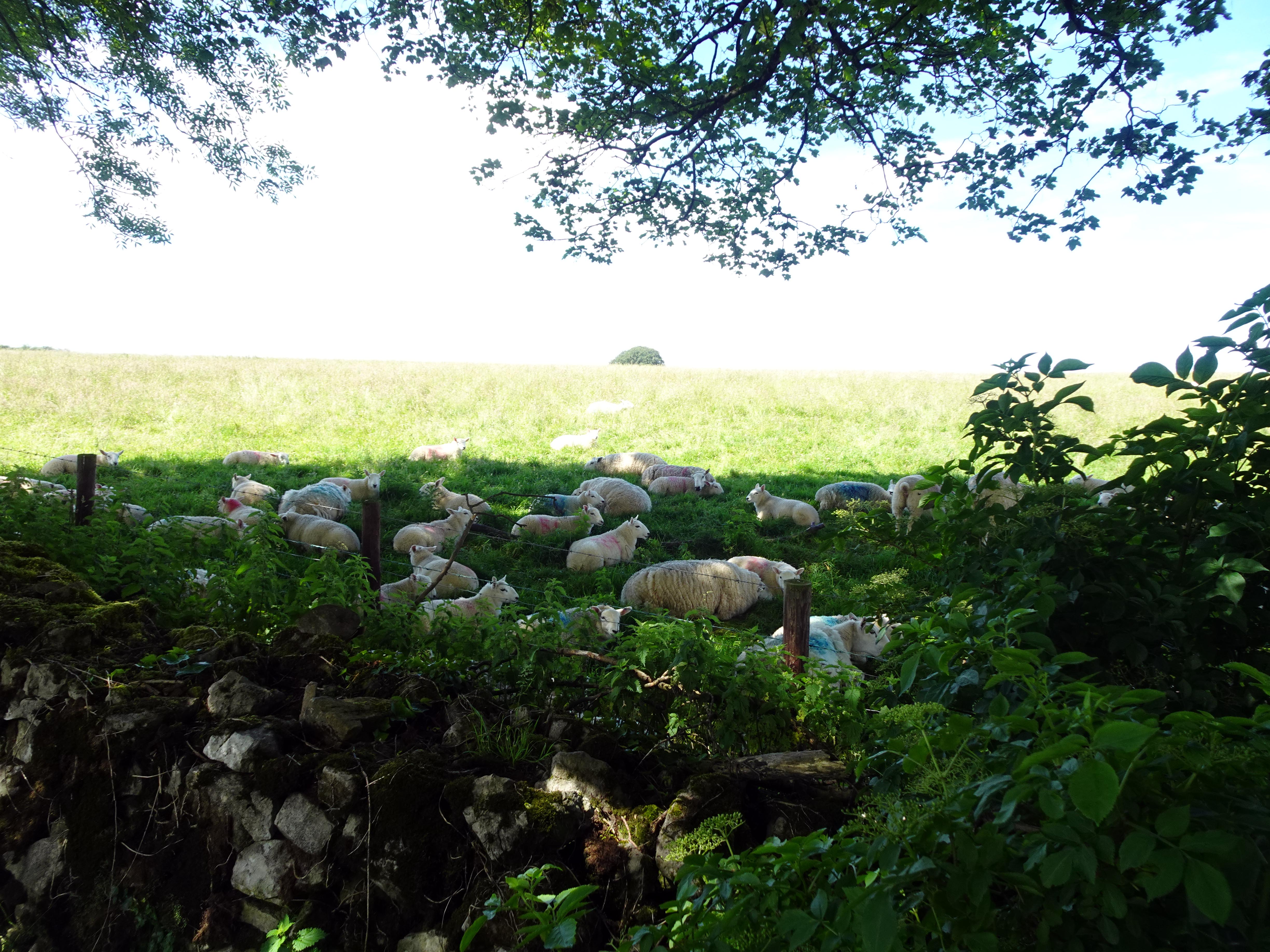
A bit further on, we passed Charterhouse Farm, which hints that much of this area used to belong to an order of Carthusian monks that was based at the nearby village of Charterhouse. These uplands were to provide sheep pasture for the main Carthusian Priory in Witham to the south‑east.
Wells Cathedral had long resisted sharing any of its ecclesiastical influence in the area, but when Thomas Becket was murdered in Canterbury Cathedral in 1170, Henry II undertook a series of penances which included granting new land and territory to this Carthusian Order. They took over lands at Witham and Charterhouse about 1178, and Wells Cathedral just had to lump it.
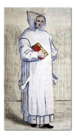
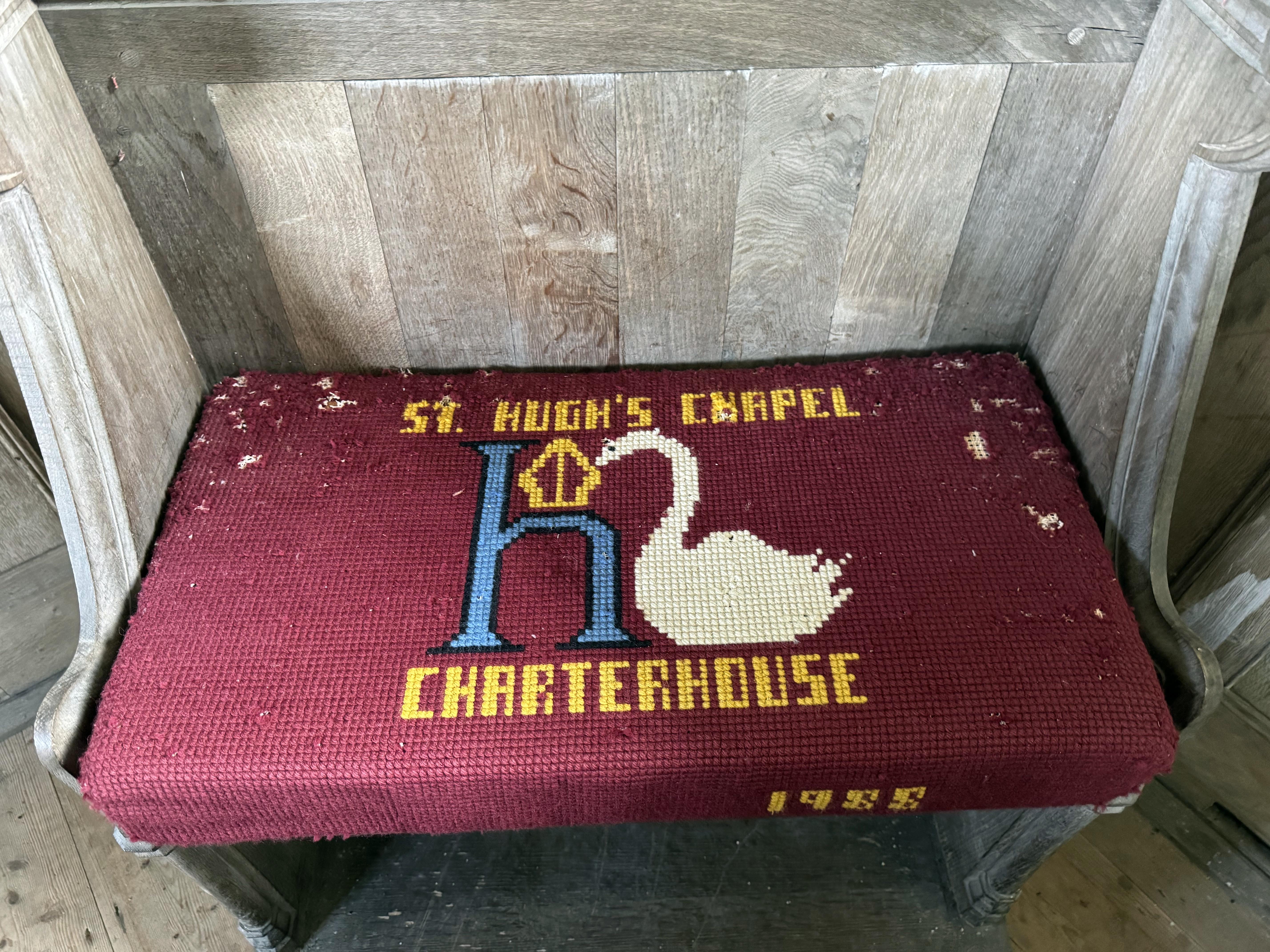
The hostility began to thaw in 1180 with the arrival of the charismatic and earnest Hugh of Avalon, who, as Bishop of Lincoln, later would become famous for forming an extraordinary attachment to a wild swan which would follow him everywhere and guard him when he slept. Later, when he was canonised as St Hugh, he would always be depicted in the presence of a swan in art. This can be seen in Lincoln Cathedral, but we would also see plenty of evidence later in our walk too.
|
|
|
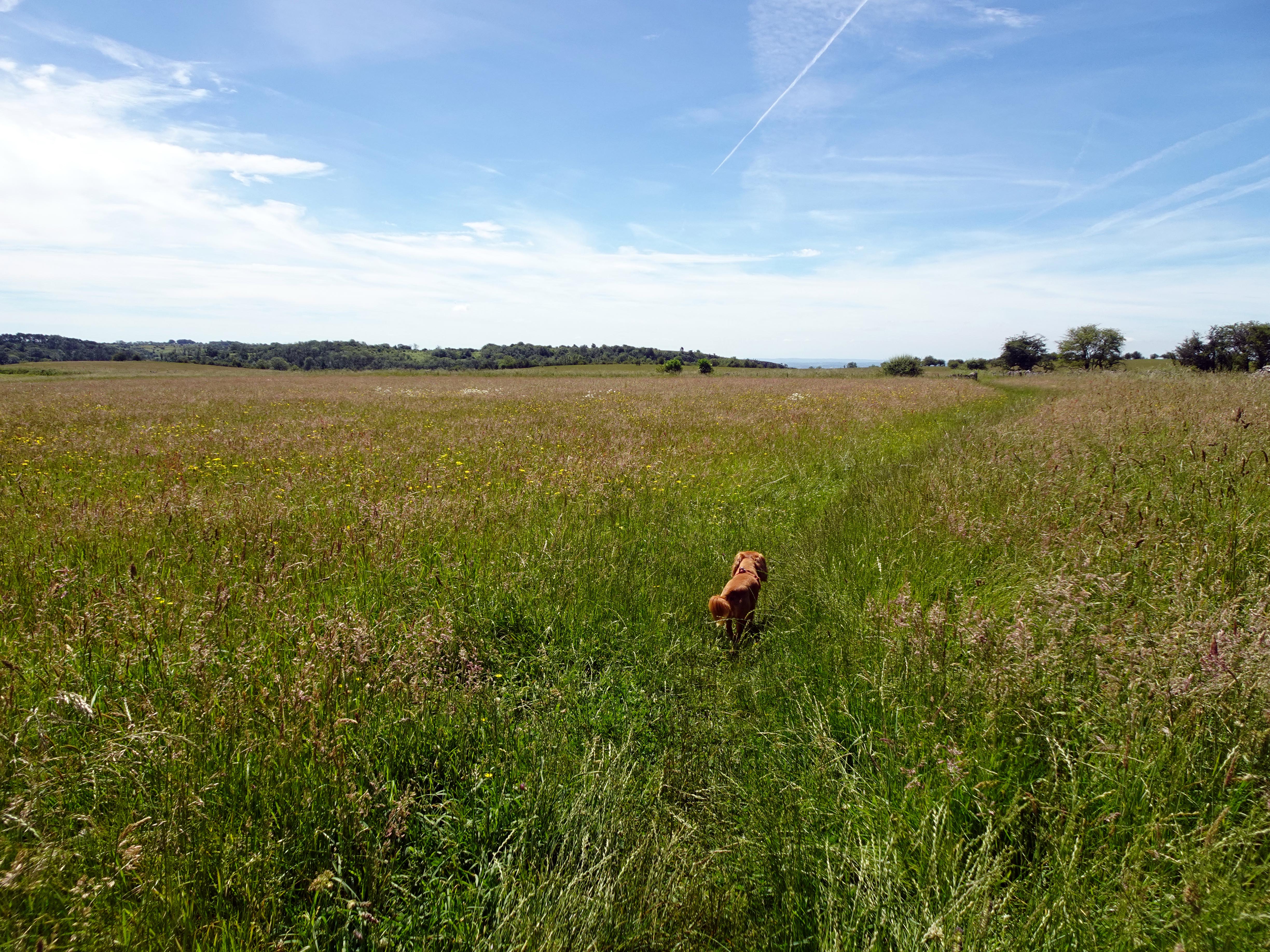
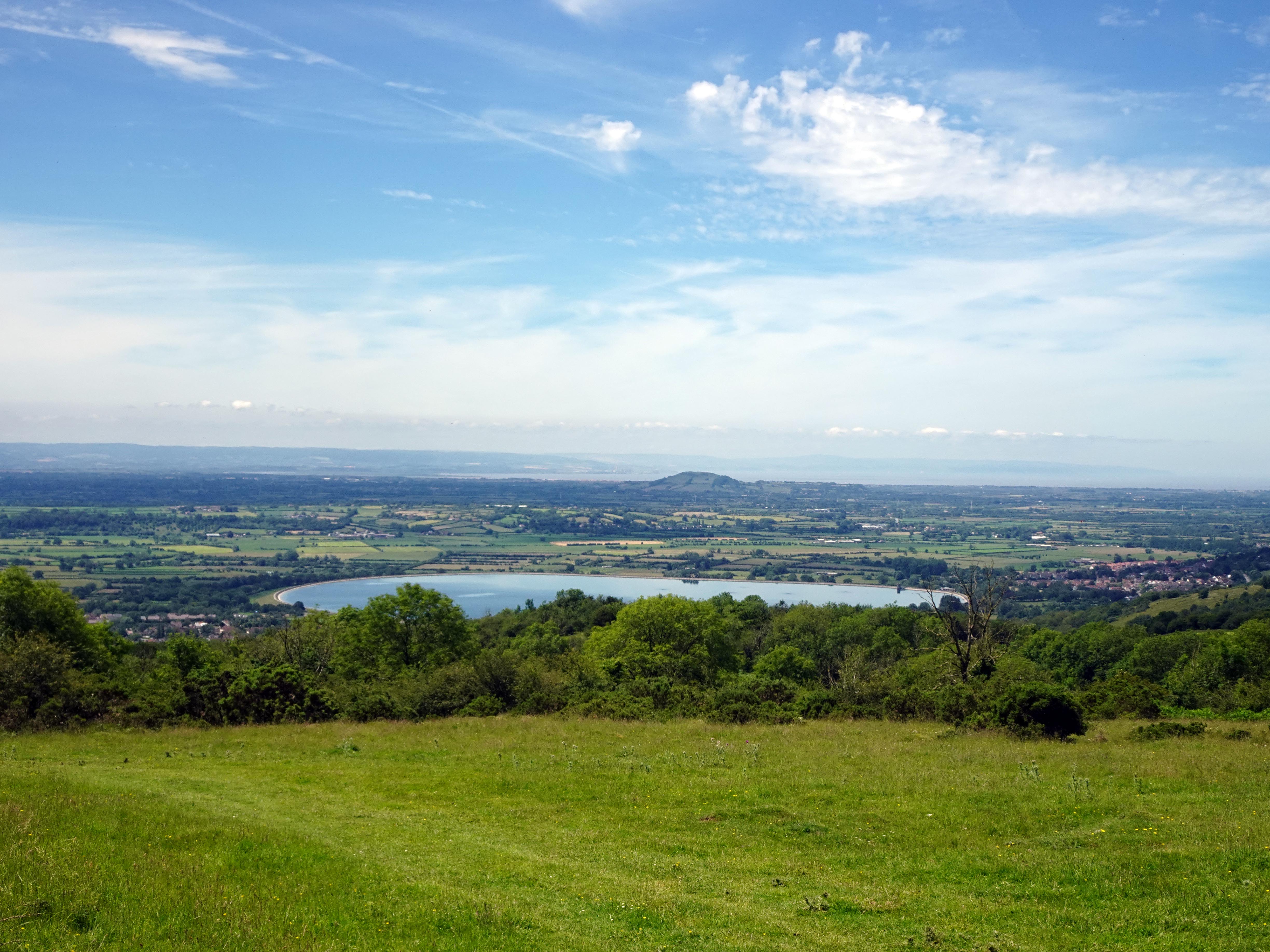
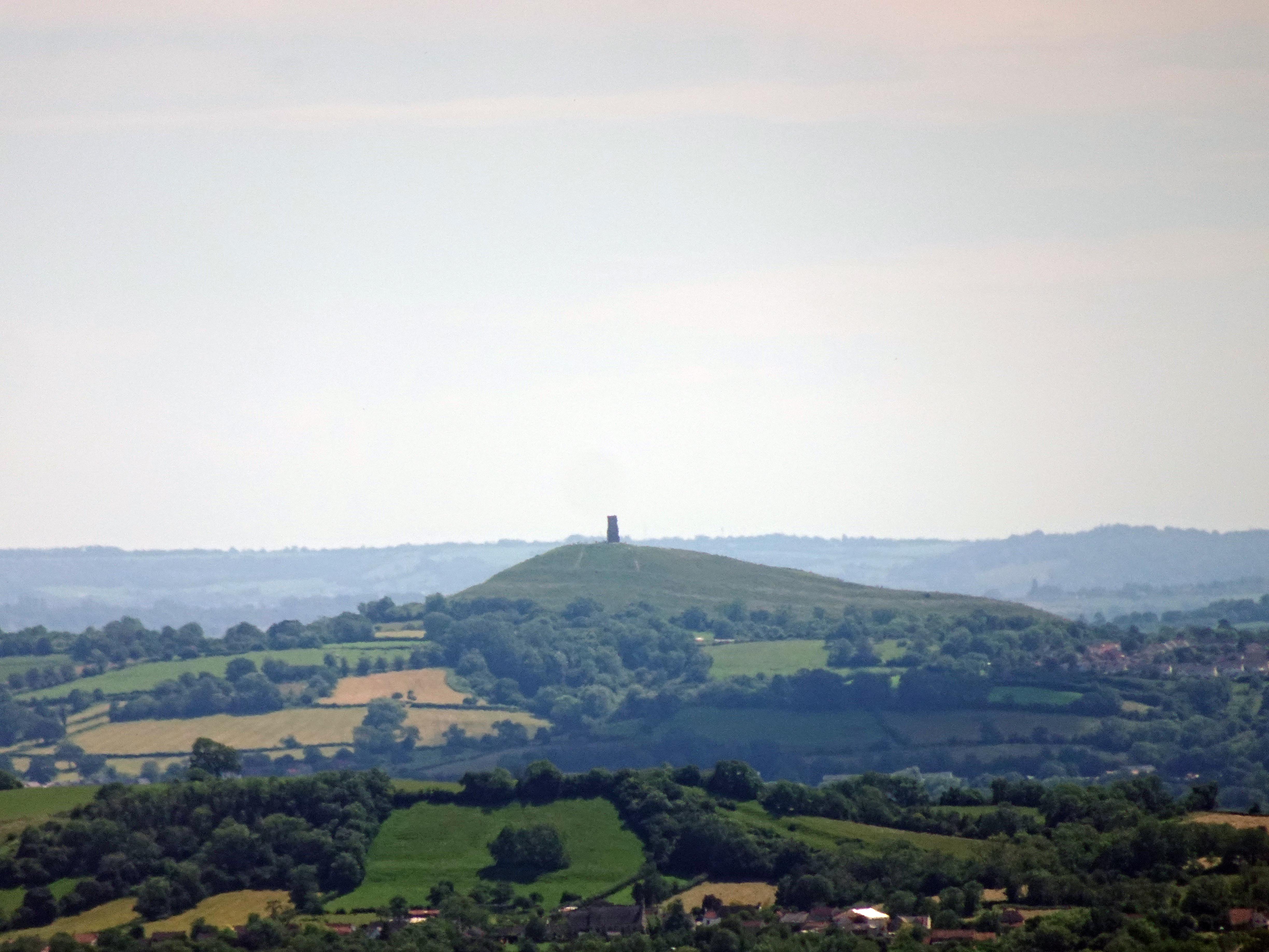
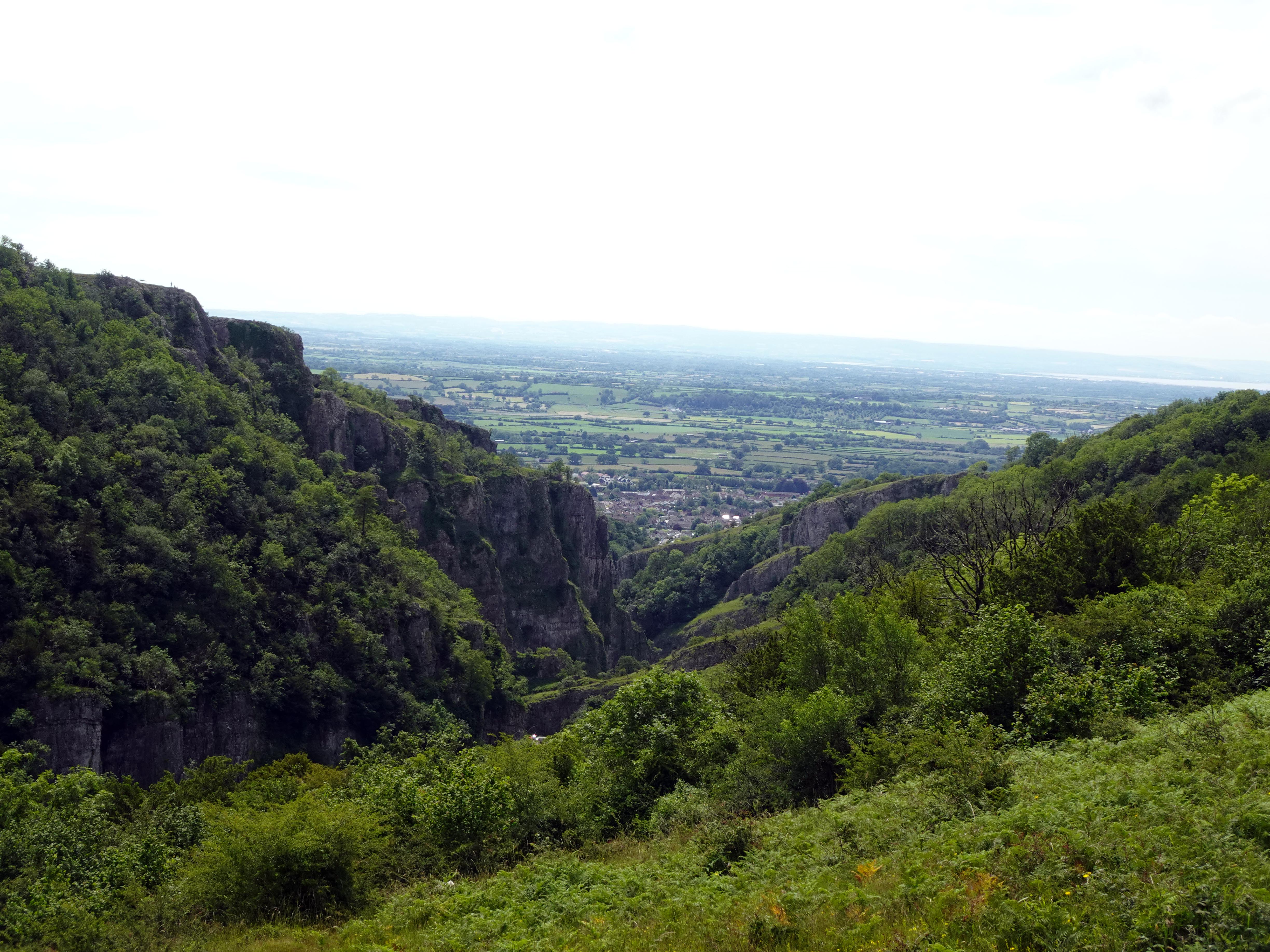
Soon, though, geography would take over from history as we turned south‑west to head back to the gorge. All our effort climbing the elevation was soon rewarded with magnificent views to the west over Cheddar, to Brent Knoll, Burnham‑on‑Sea and the Bristol Channel beyond. It was simply breathtaking, and a conveniently placed tree provided the perfect shaded location to stop to have lunch whilst marvelling at the plain below from our plateau height. Straining south, we could also see the church on Glastonbury Tor standing out prominently in the distance. The temperature was steadily climbing, but at this height there was a pleasant breeze to help cool us down. We had brought plenty of water, and we had had the foresight to bring some iced water bags to help keep everything cool, making the water and food taste especially sweet.
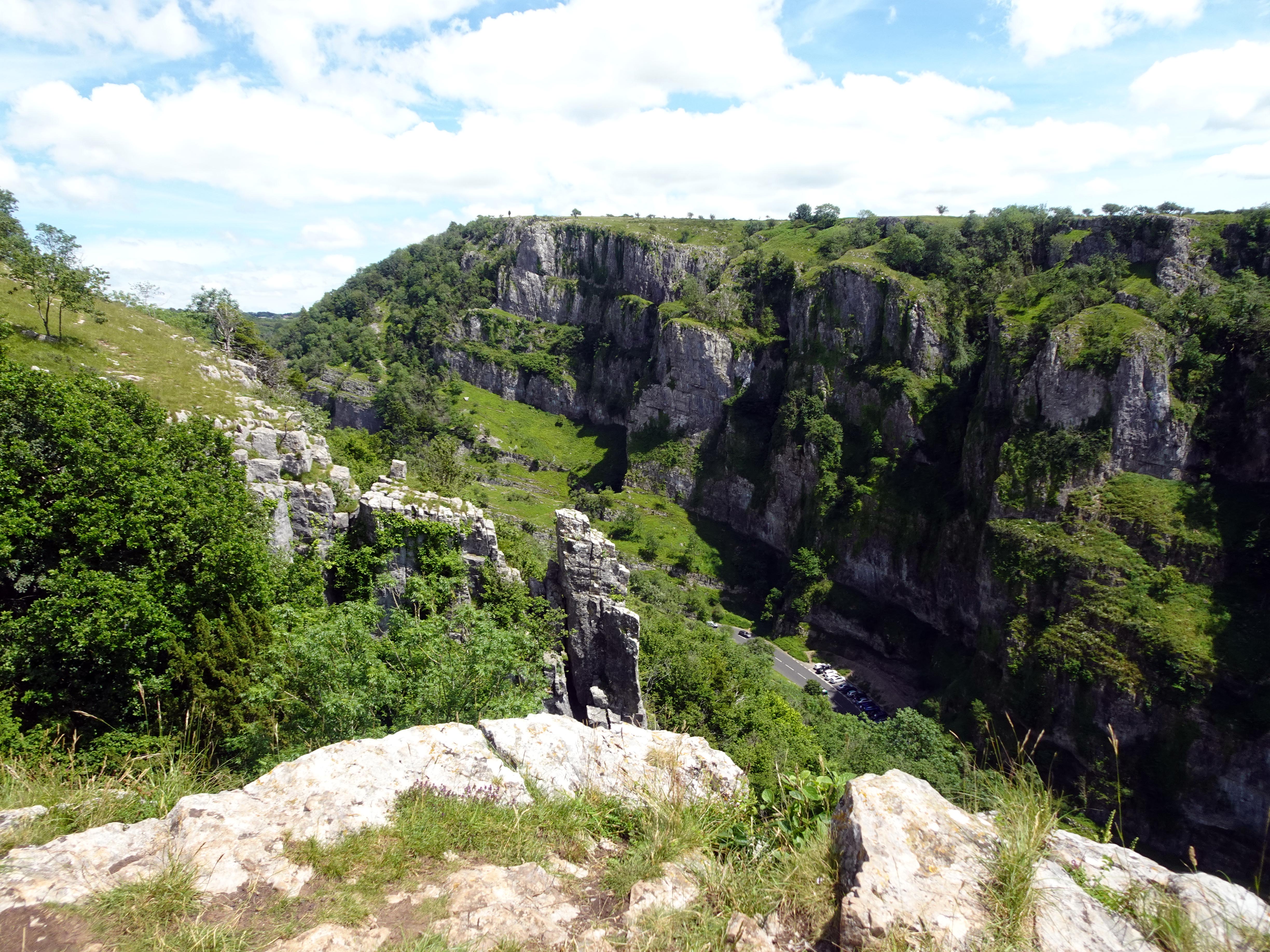
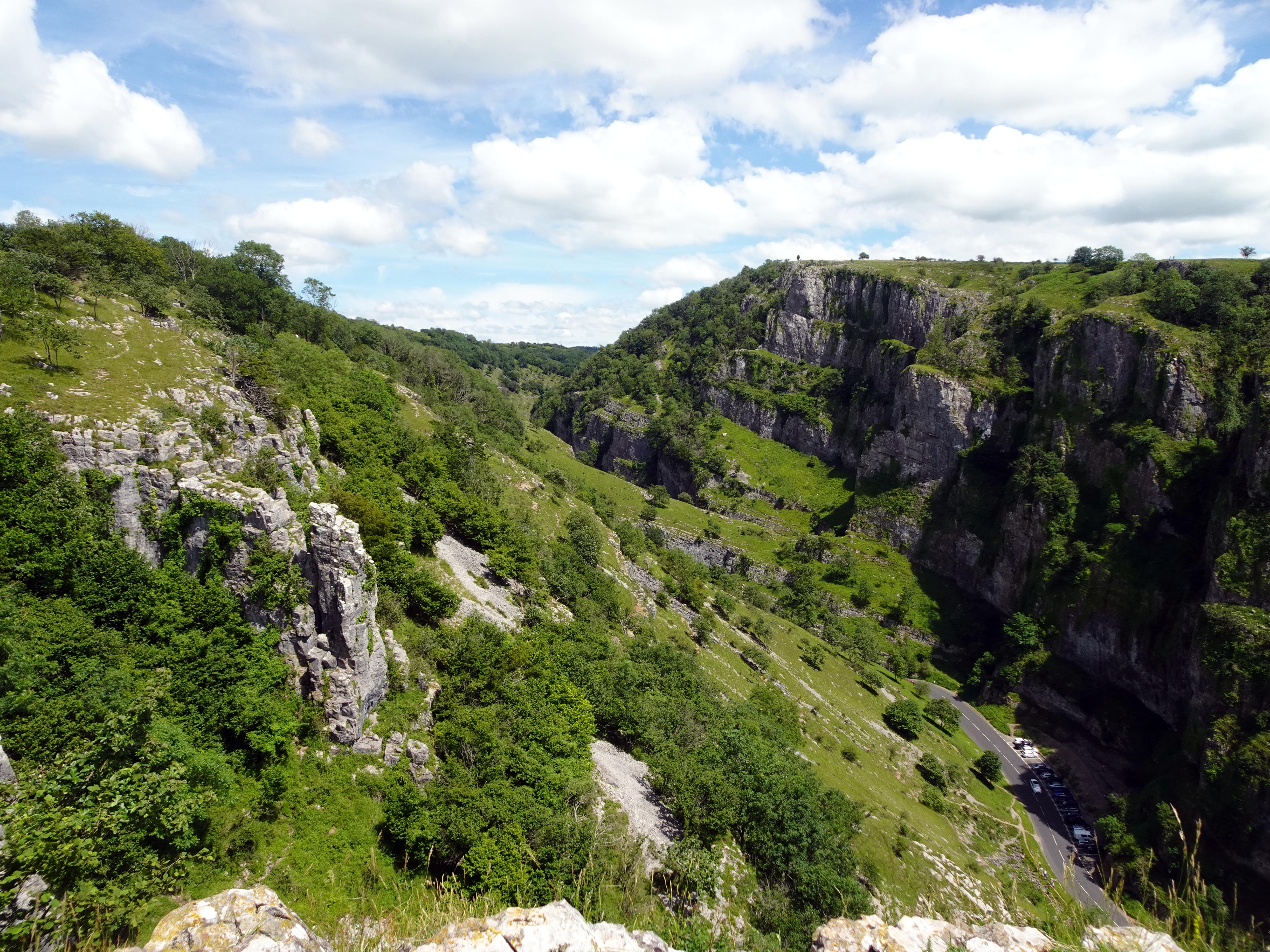
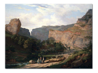
After lunch, we headed downhill. In an ideal world, we would have descended all the way into Cheddar town and gone up the southern side of Cheddar Gorge, but as it was Sunday in summer there was an opportunity to visit St Hugh’s church between the hours of 2 to 5 in the afternoon – this is the only opportunity to visit this charming church, so we decided to take the Horseshoe Bend and walk back along the northern side of the gorge. Not that this is any less impressive, and the views down below are spine‑tinglingly precipitate. Rupert was firmly on his leash, as any wrong steps could definitely result in plummeting far too far - a prospect that was to have lasting consequences on the Anglo-Saxon King Edmund in the 10th Century! There were a few visitors who were a lot braver (or foolhardier) near the edges than I was prepared to be. I am thankful that these places aren’t spoiled by fences or barriers, but the price of this freedom is to be exceedingly careful along the edges.

|
|
|
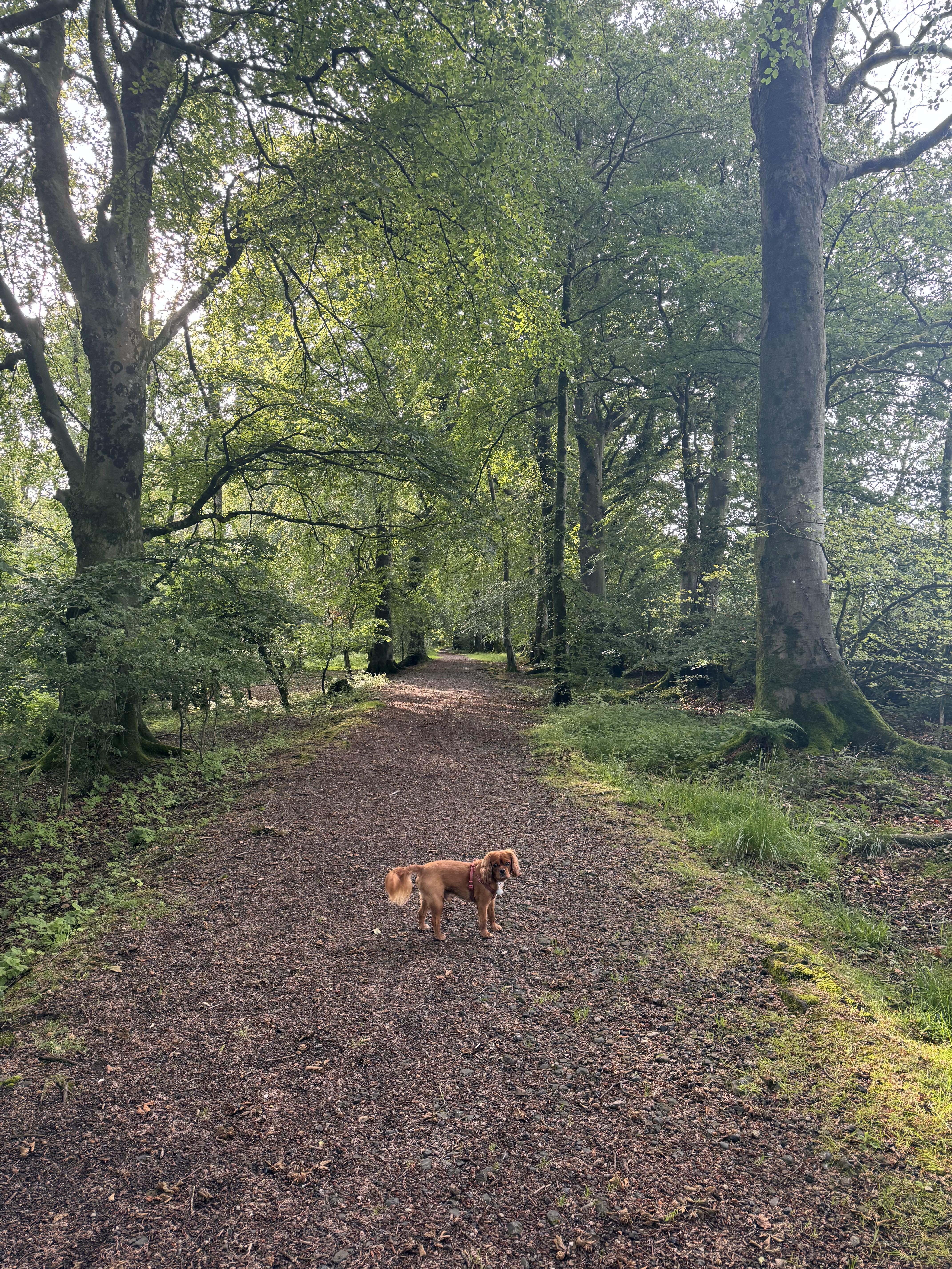
As we kept walking along the Cheddar cliffs, we kept catching glimpses of the formidable limestone rock formations on the southern side, whilst a steady drumbeat of cars and motorbikes revving their engines below provided an unusual soundtrack. We caught glimpses of a real variety of road users attracted by the acoustics and dramatic geography. We could, though, disappear into the woods and outrun the road acoustics to enjoy the peace and quiet once more.
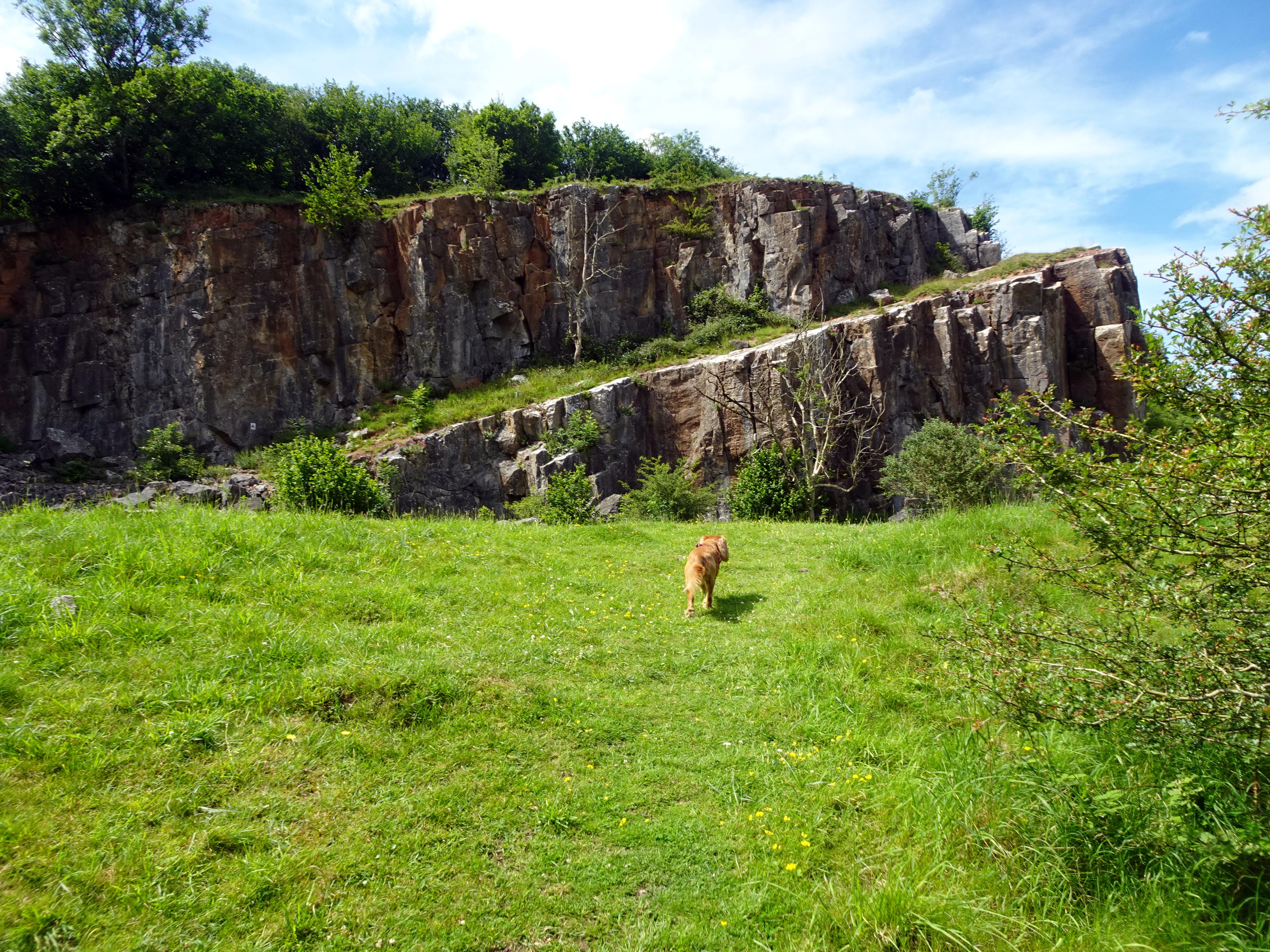
Black Rock Quarry dramatically exposes itself as you walk up the valley. This quarry illustrates yet another industry in this seemingly tranquil landscape. Once upon a time, there would have been steam drilling and stone‑crushing machinery echoing down the valley. You also pass a limekiln which once would have created quicklime for local farmers. The National Trust campaigned to stop quarrying in Cheddar Gorge for fear of it destroying this natural landscape. Quarrying continued here until about the Second World War, when the valley finally fell silent to these industrial extraction processes. But it looks like they left just a couple of days ago, and you can see the seams they were working, and we even made out some of the old iron steam drill bits in the rock itself.
We soon returned to Velvet Bottom and walked back up past all the lead workings. However, we were not fully to return to Ubley Nature Reserve just yet, as we detoured to catch the church of St Hugh’s.
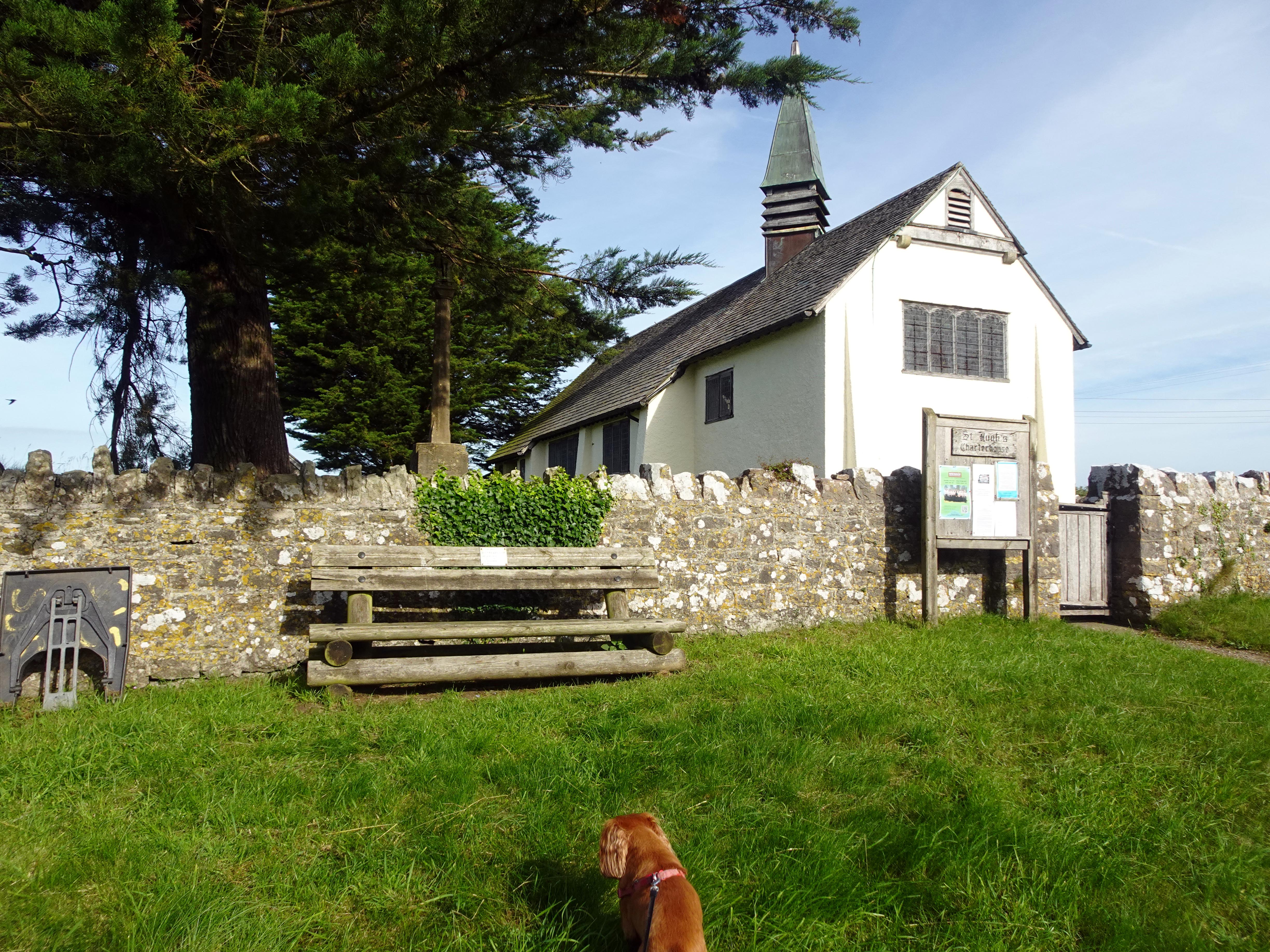
We were in luck. On this sweltering day, not only was the church open, but the volunteers there offered tea and lemon drizzle cake and water for Rupert. Also, I could refill my water bottles after they had been severely depleted. The church itself was also pleasantly cool on this hot summer’s day.
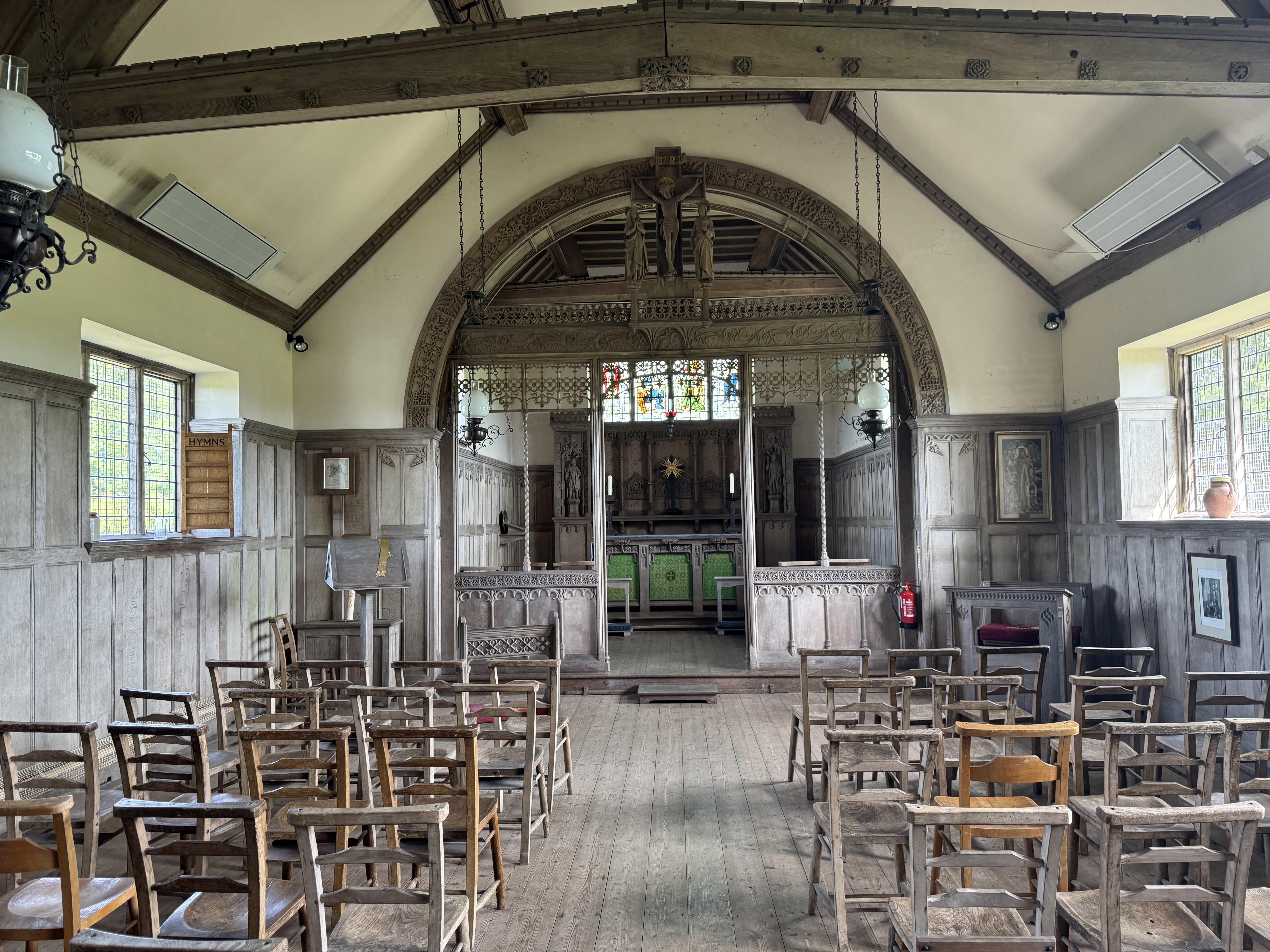
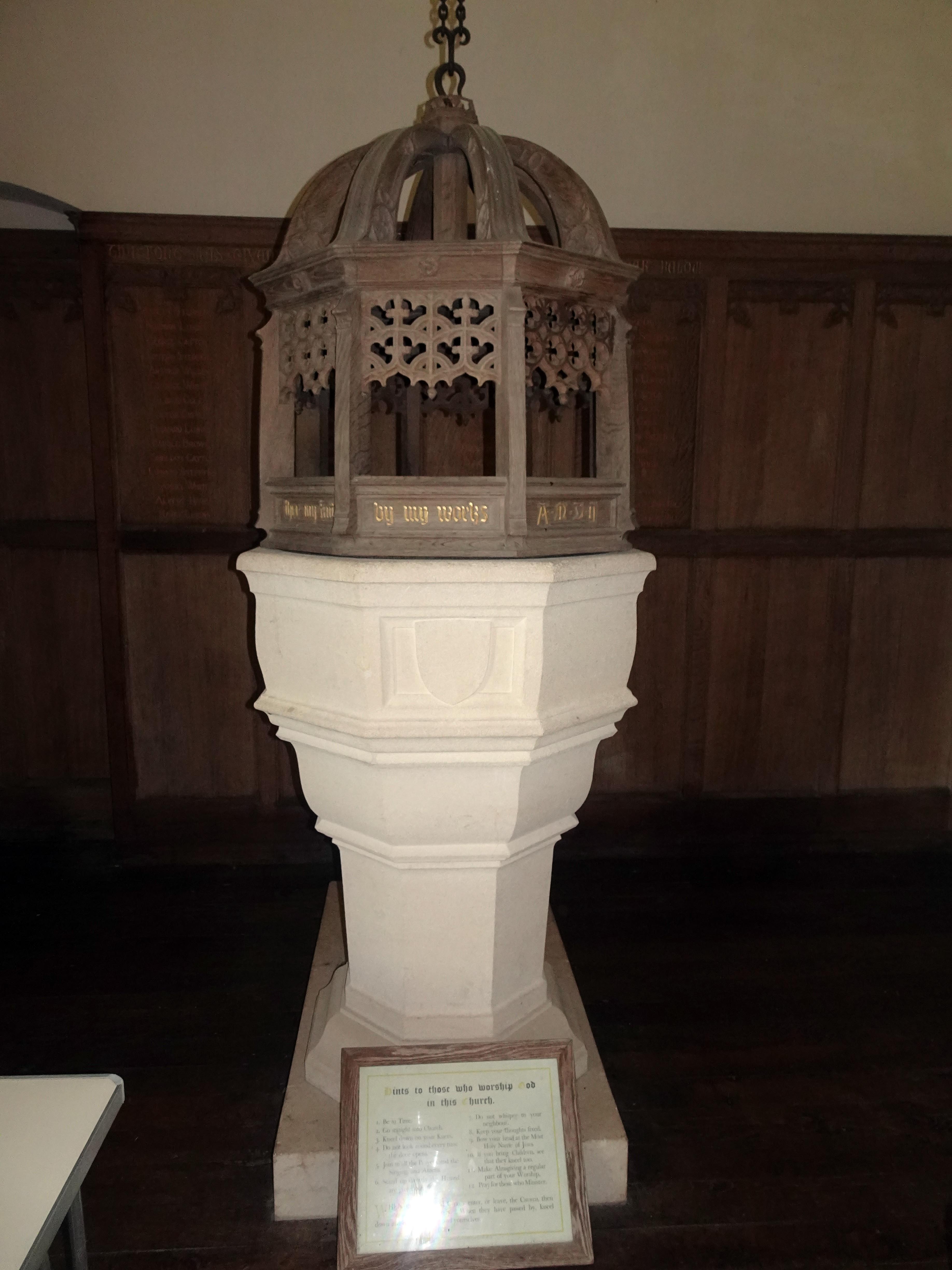
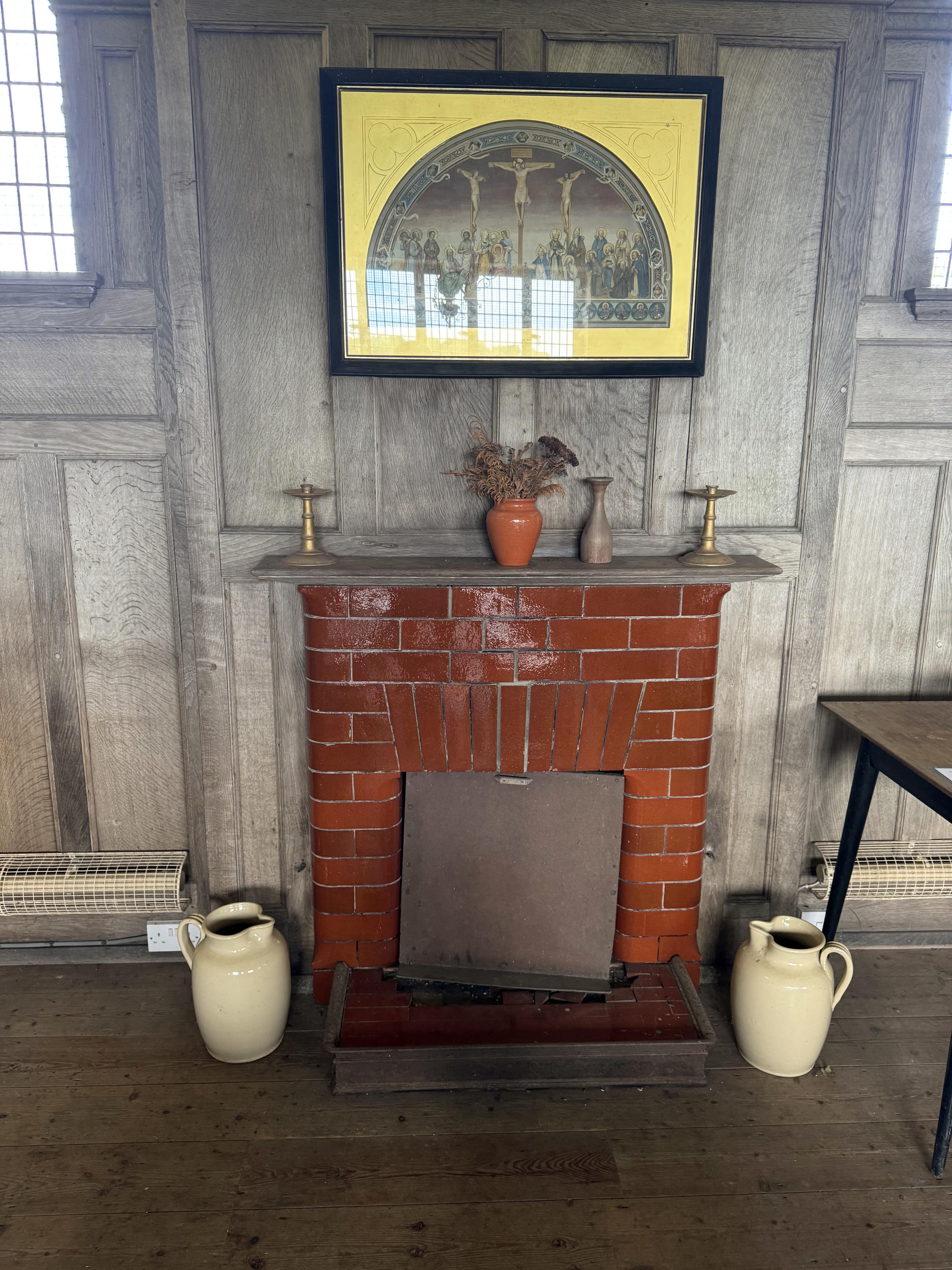
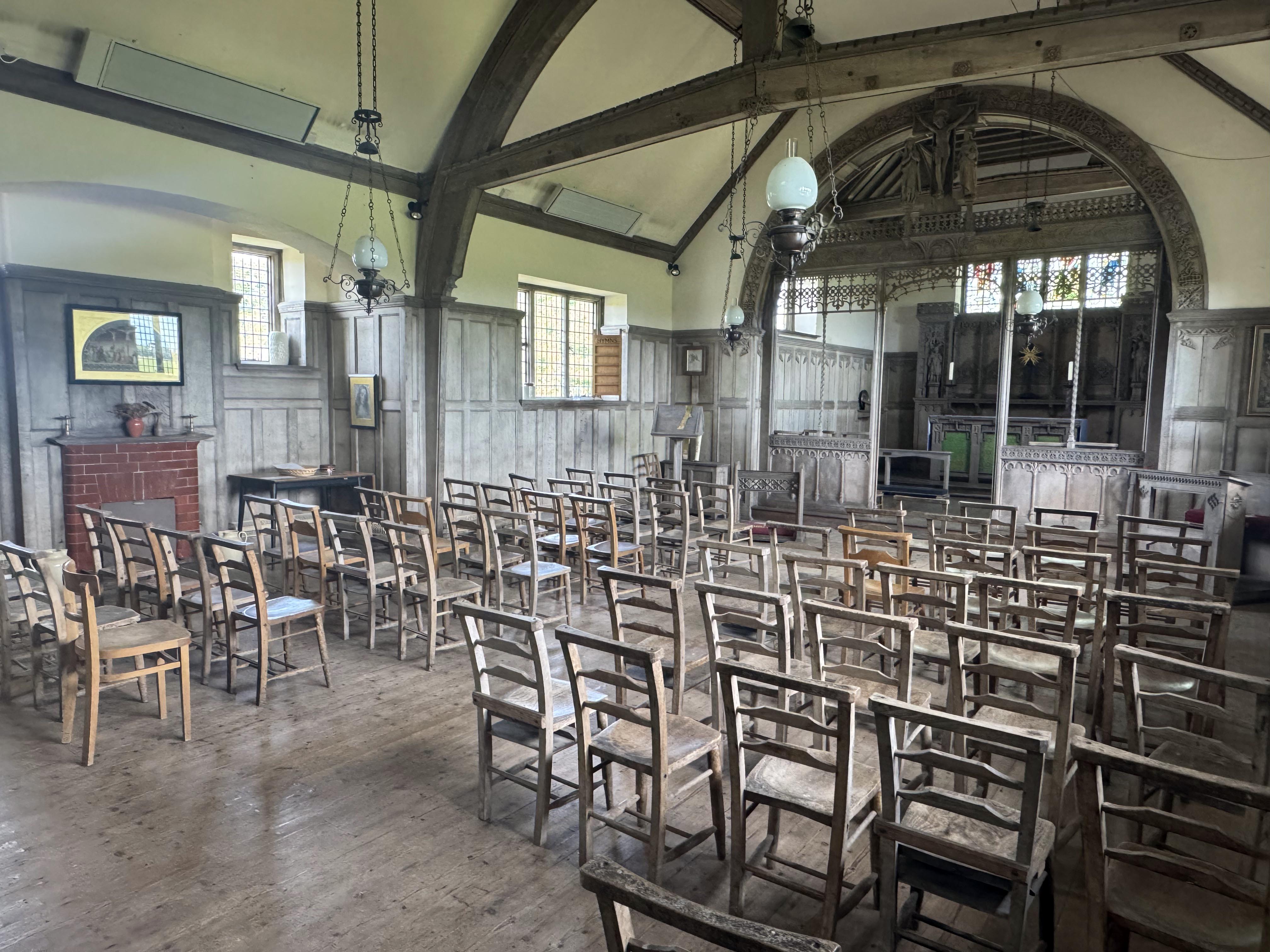
St Hugh’s was not always a church, as some of its interesting décor and facilities hint at. Not many churches have a nice fireplace in the nave. Nor do all have a kitchen and a plumbed toilet. And I have never seen any church that has a contraption for boiling soiled clothes. The reason for these aberrations goes back to the mining activity along Velvet Bottom. This building was once the social club of those Victorian and early Edwardian lead miners. In 1844, a Cornish company had taken over the mining processes as the lead went deeper and the mining became more complicated. After a hard day grafting underground, the miners could come to this building, change their clothes and start the laborious process of cleaning up their grimy miners’ outfits as they enjoyed some food and drink. The local parish church was two miles away at Blagdon.
Now, there is an interesting Plymouth connection in how this miners’ social club was both initially built and then converted into this delightful Arts and Crafts chapel. It is all thanks to the inspiration of George Menzies Lambrick, who was born in Stonehouse, the son of General George Lambrick of the Royal Marines and one time ADC to Queen Victoria herself. George Menzies Lambrick started his work in the clergy in the onerous slums of East End London. In 1890, though, he married Maria Louisa Newnham from Blagdon. In order to escape the harsh realities of inner‑city London, he would love to spend time in this part of Somerset. However, he soon realised that not all was sweetness and light in what appeared to be an idyllic landscape. He was much taken with the plight of the lead miners, whose lives were every bit as grim as those in the East End of London and perhaps considerably more dangerous too. In 1894, he moved permanently from London to the area as mission curate to Charterhouse. The social club was apparently his first idea, but as few miners had the energy to walk two miles to the parish church on their only free day of the week, he hit on the idea of converting it into a chapel of ease. A lot of the money came from the Lambricks themselves, and they hired the well‑known church architect W. D. Caroe to convert the building into this charming church.

|
|
|
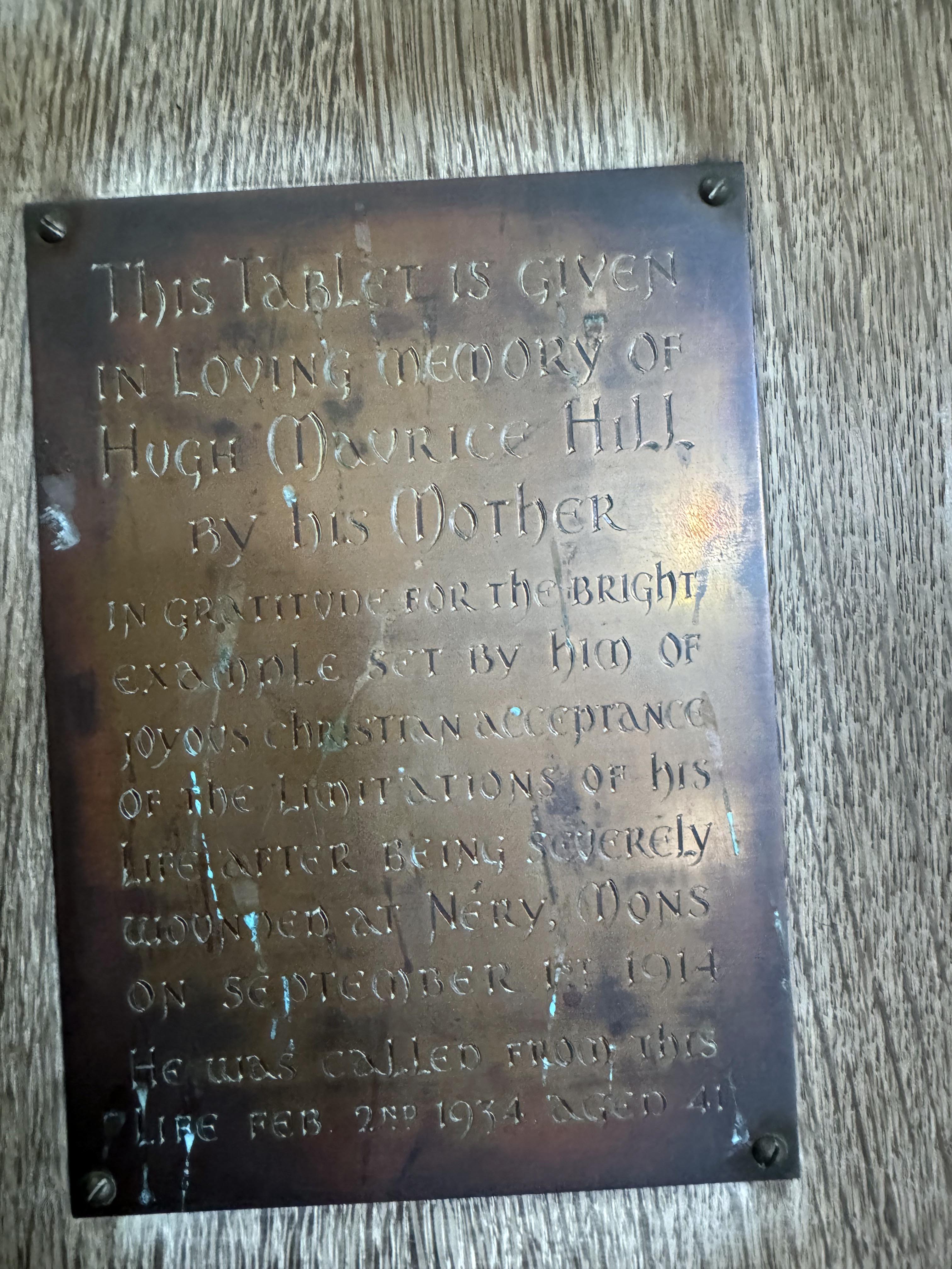
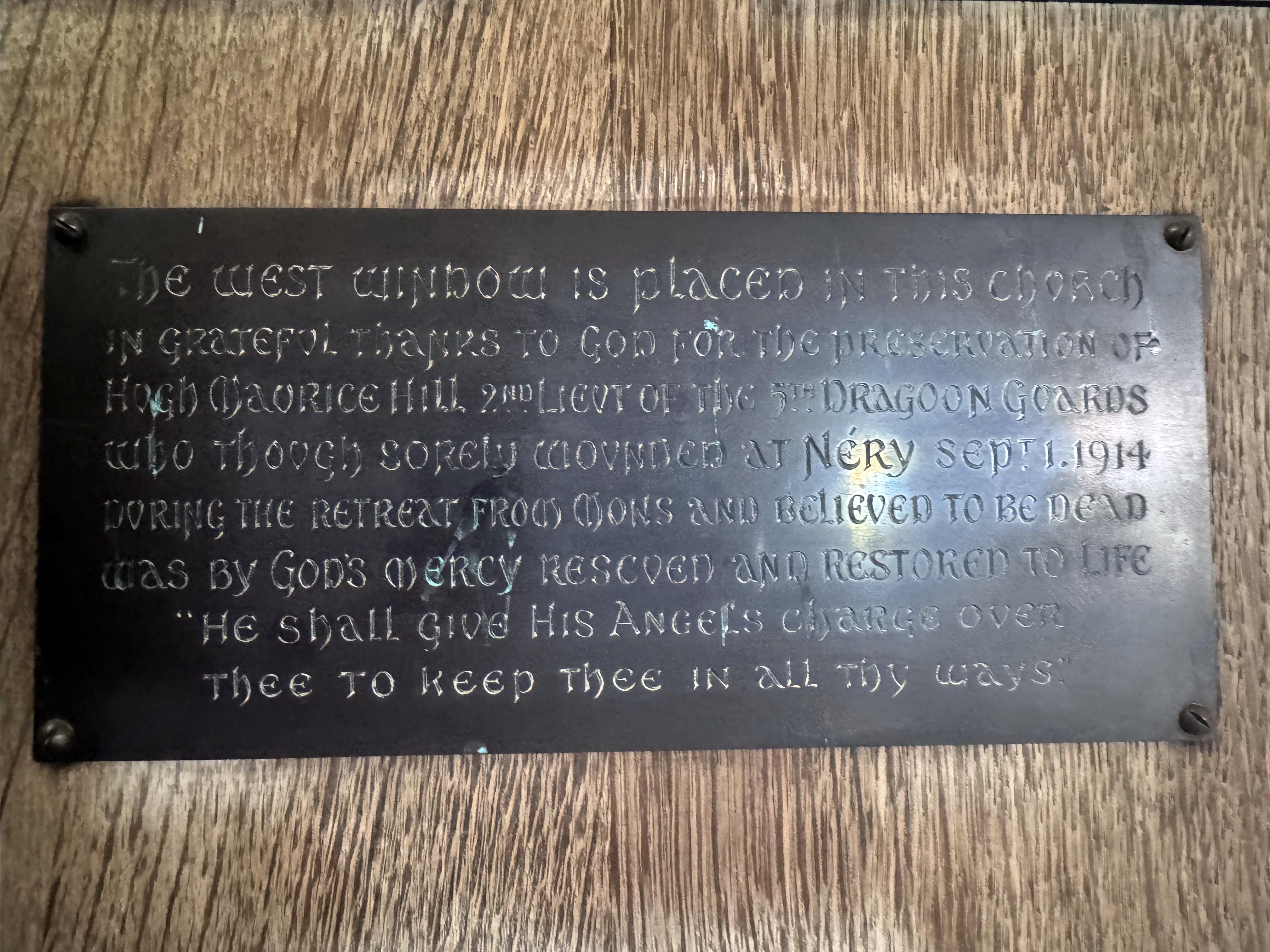
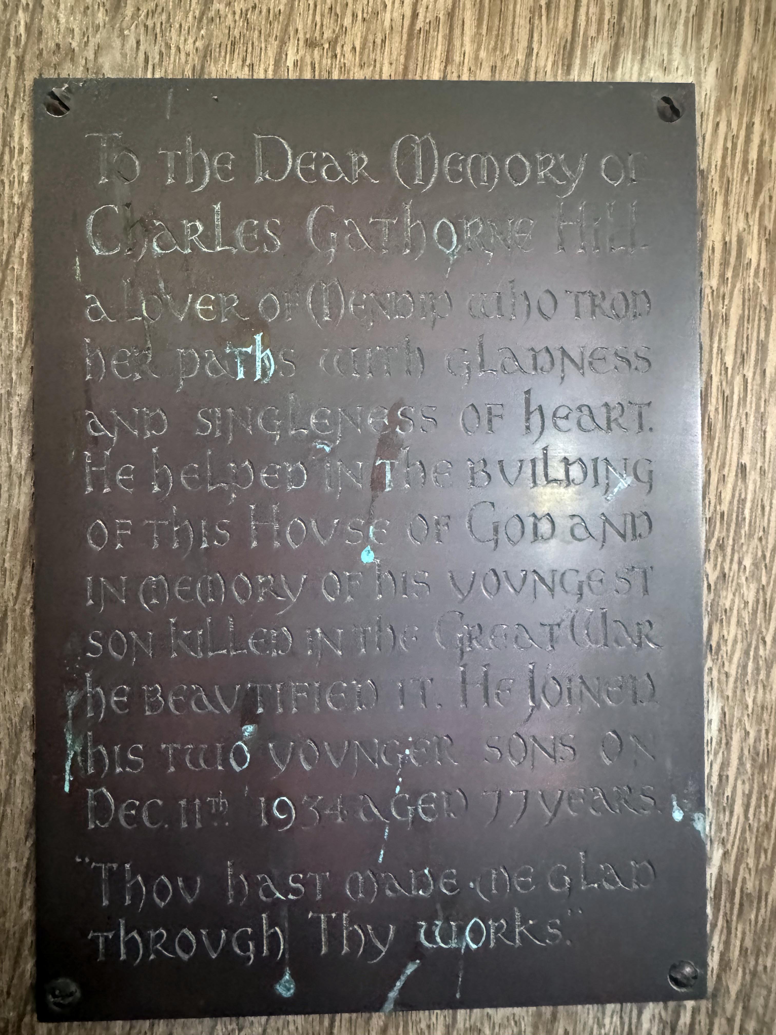
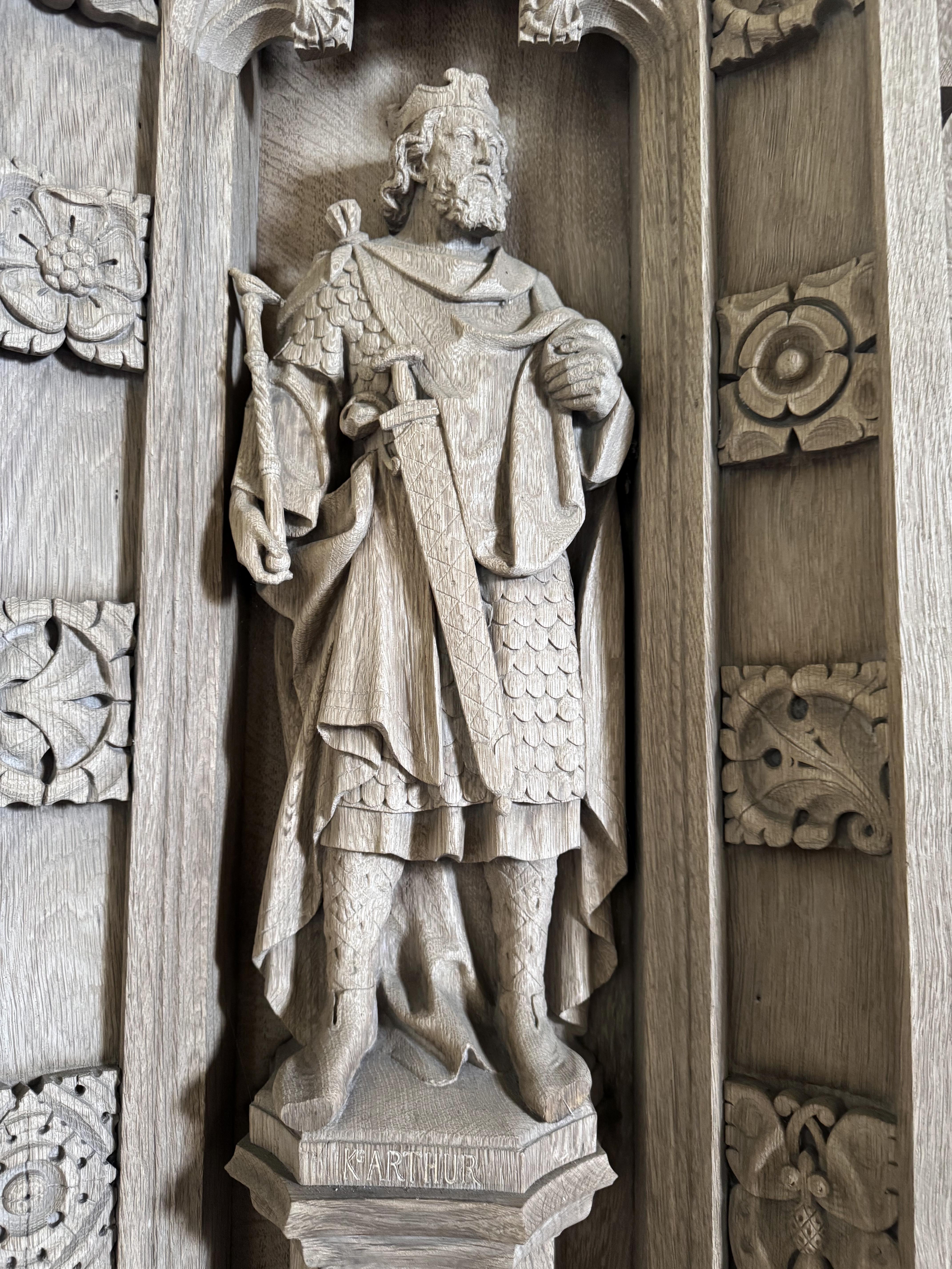
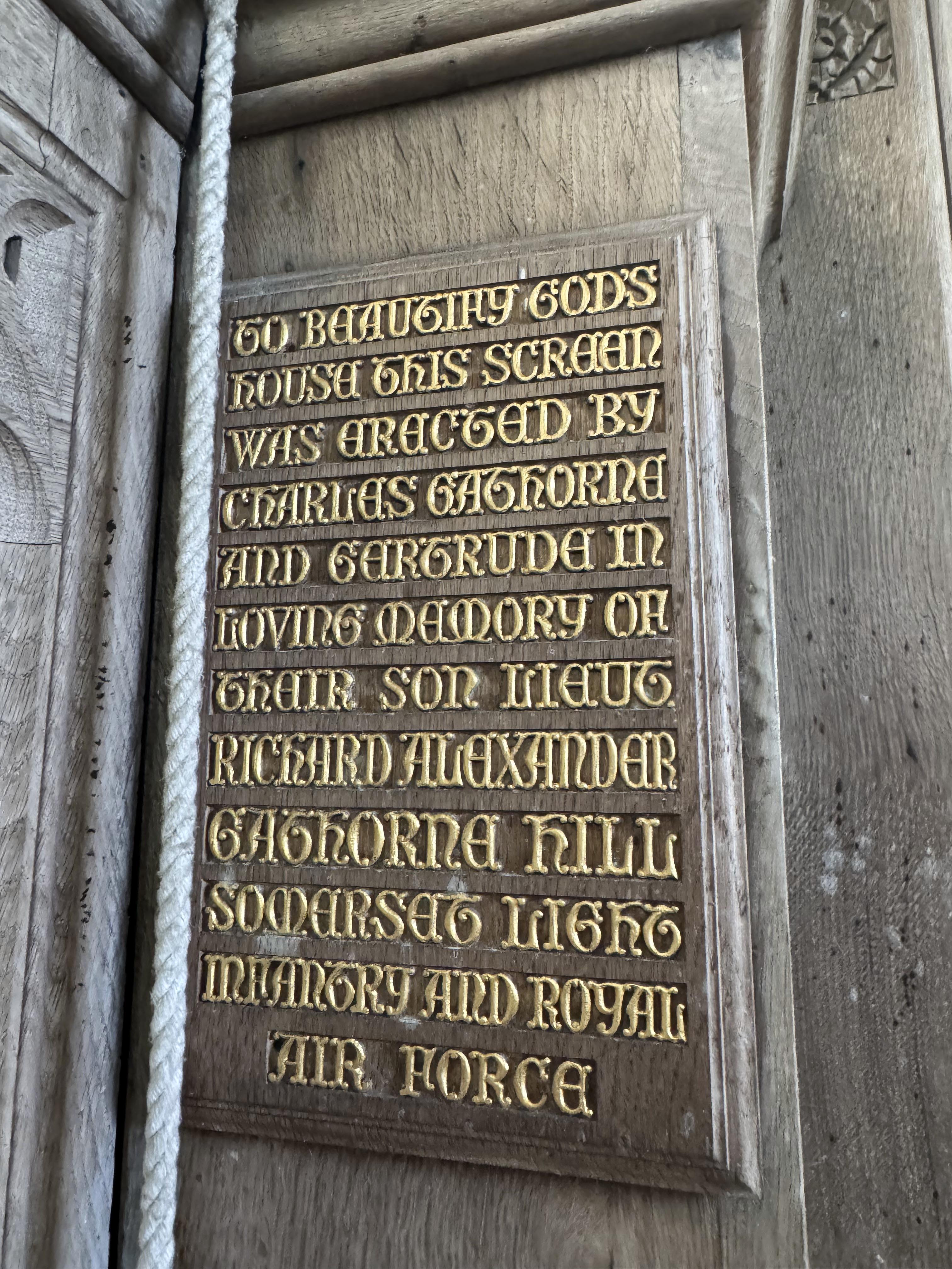
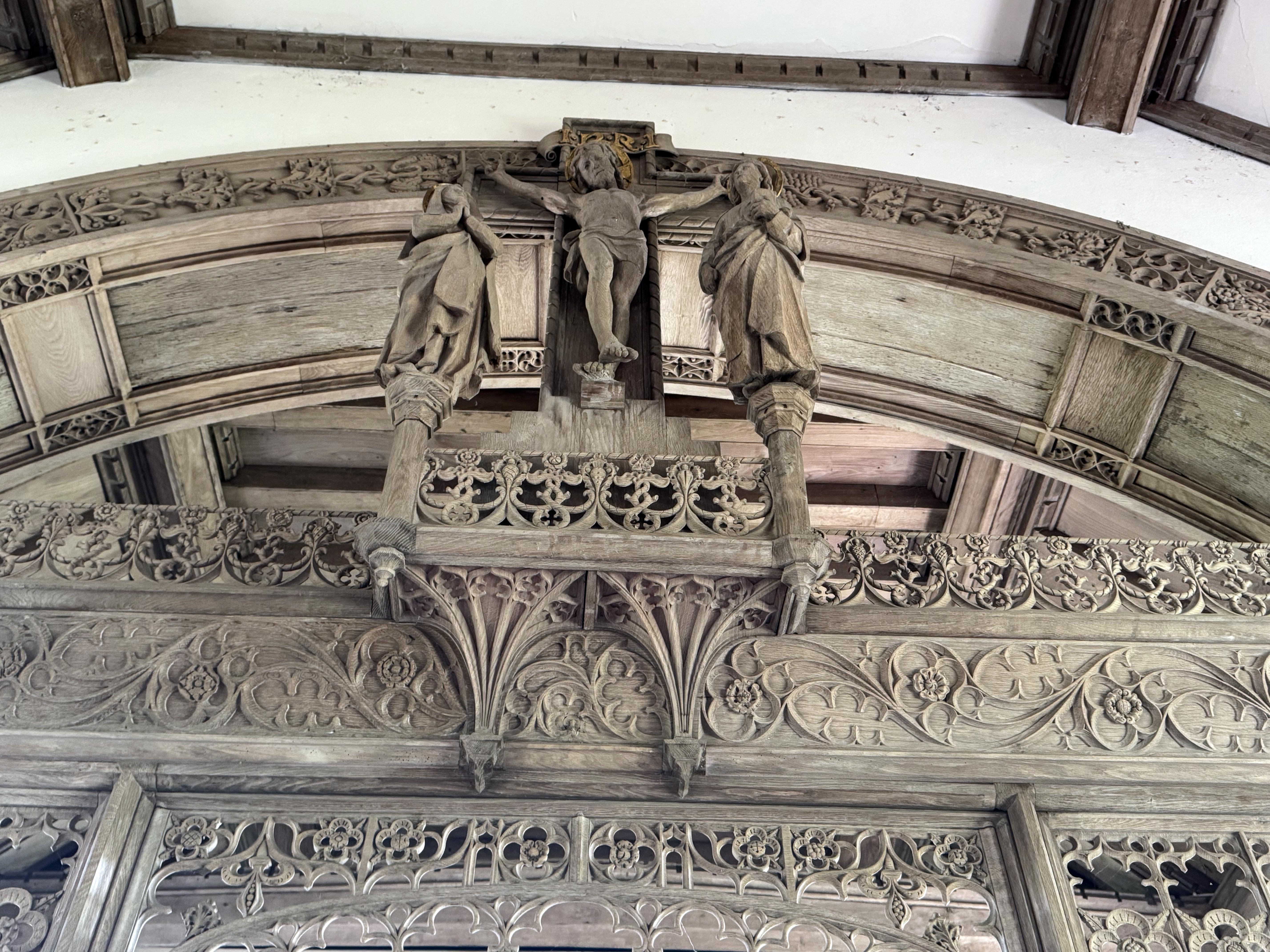
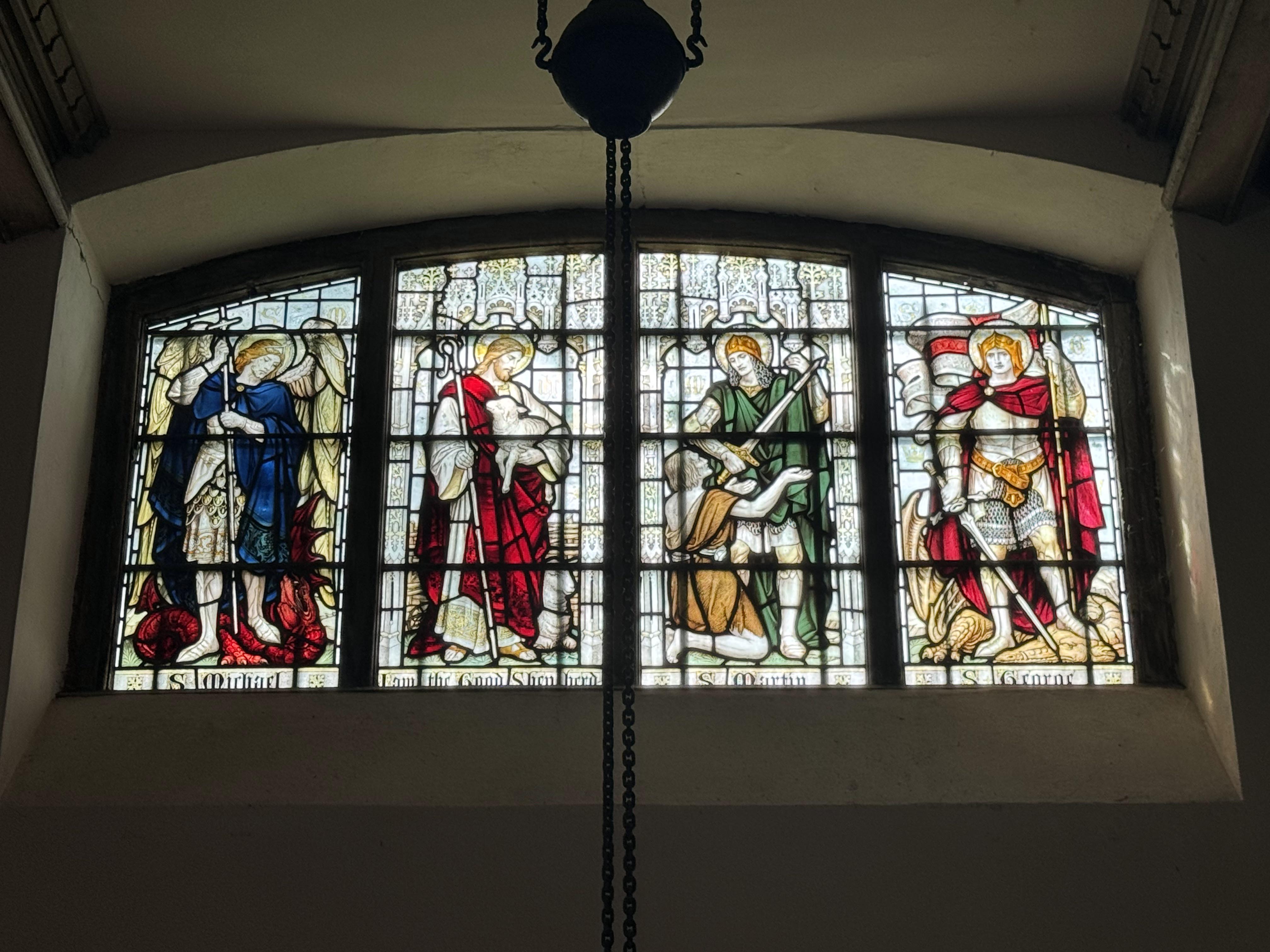
The period before the First World War was the apogee of the Arts and Crafts church design style, incorporating hand‑carved natural motifs and elements to try and create a deliberate contrast to the harsh realities of the modernising, industrial world. It would help take the miners’ minds away from their daily grind to be surrounded by natural beauty carved by skilled artisans. It also helped that the obvious local Charterhouse connection to St Hugh would provide not just the perfect name but also his association with the swan would add yet more natural inspiration. There is also a connection to King Arthur, who is also shown as a carved relief on the reredo in addition to St Hugh. Recall that St Hugh of Lincoln was once called St Hugh of Avalon when he lived and worked in Somerset. He took this name as the Isle of Avalon at Glastonbury was identified (somewhat optimistically) as the last resting place of King Arthur after his defeat at the Battle of Camlann. The late Victorians and Edwardians also loved Celtic revival stories with their romantic associations. Perhaps Lambrick’s Plymouth origins made him even more aware of these Celtic stories. The intricate chancel arch and rood screen were not only done in a beautifully intricate Arts and Crafts Gothic style, but were also paid for by the Hill family and are dedicated to their son who was killed in the First World War.
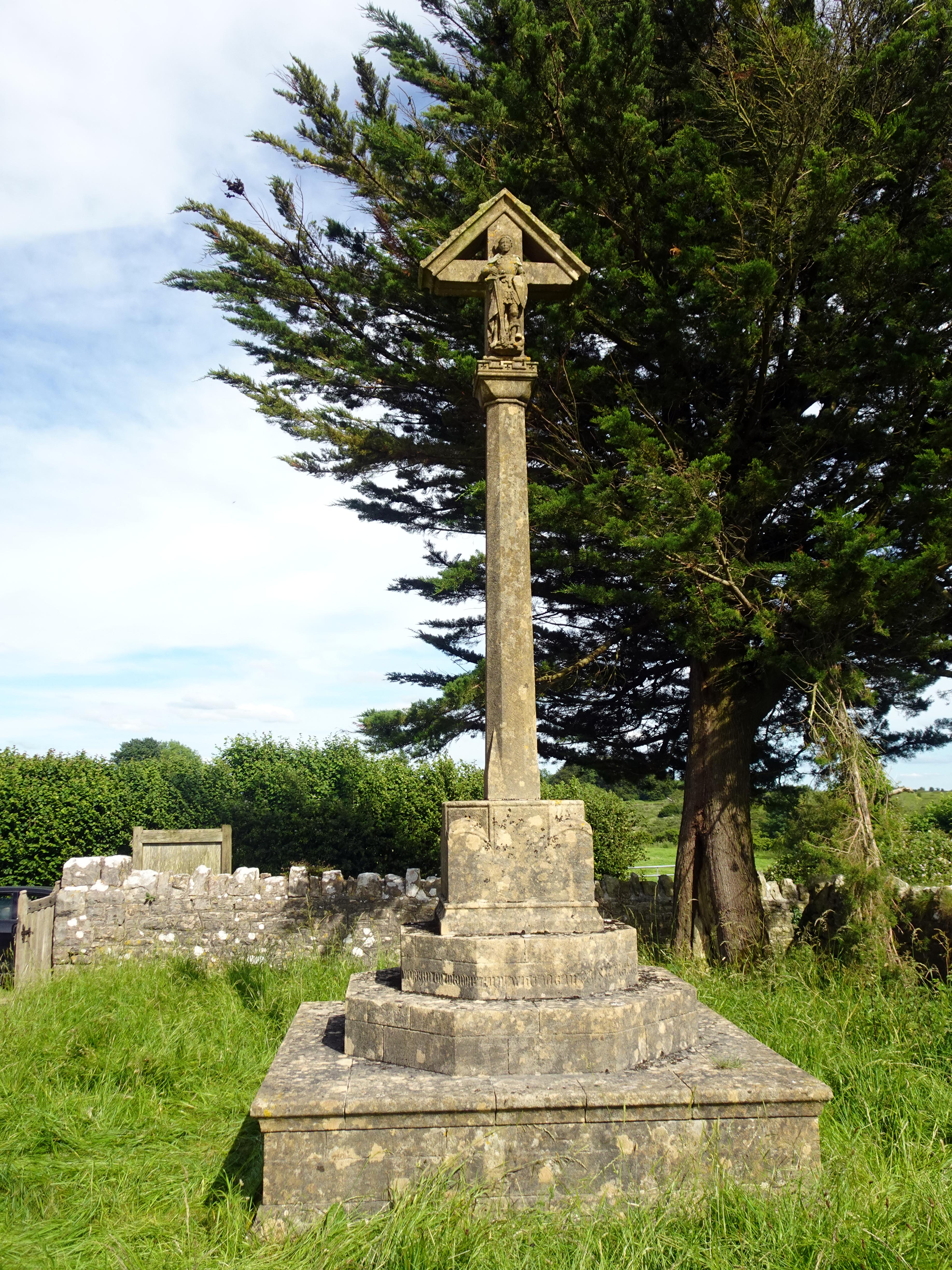
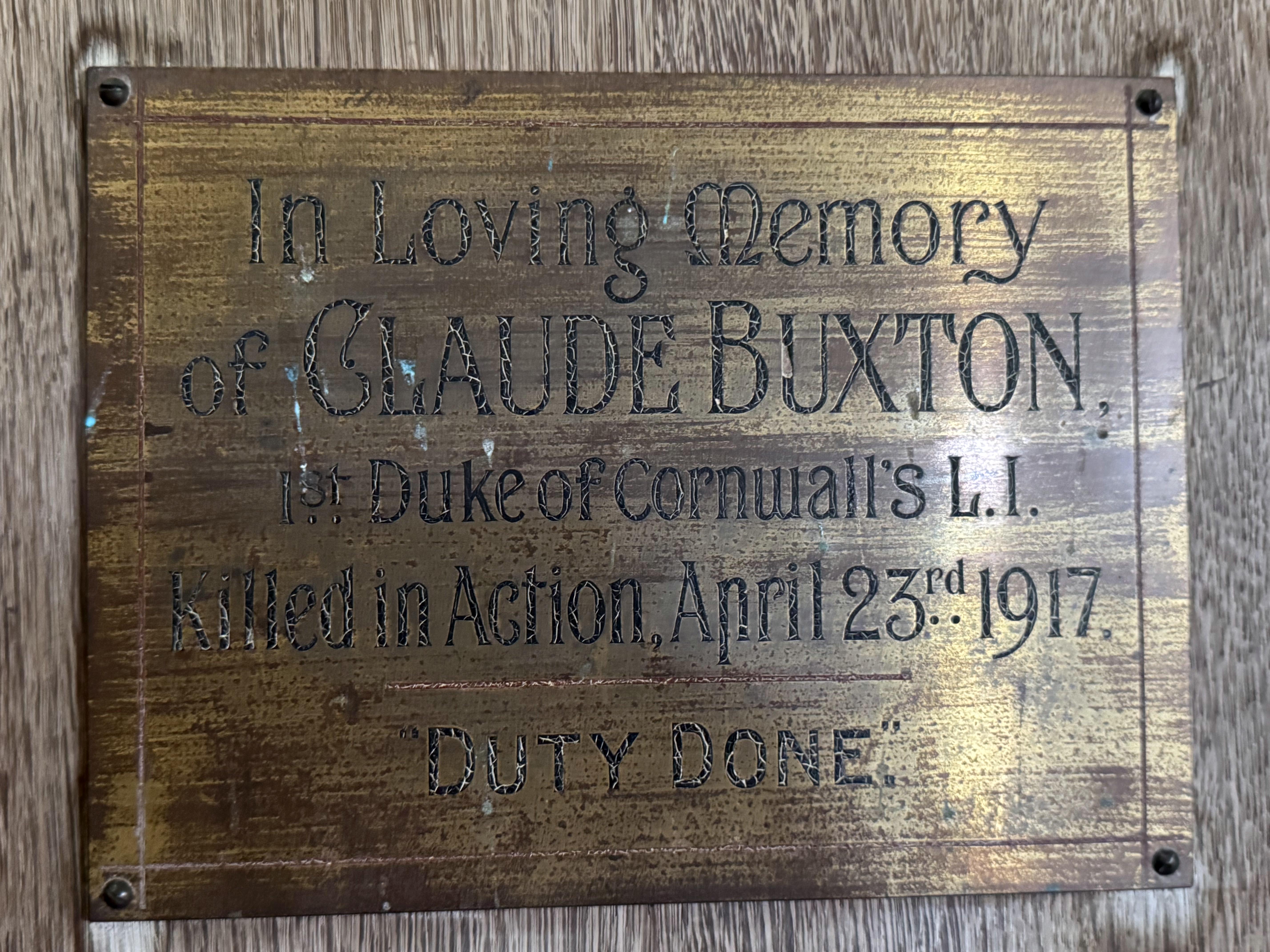
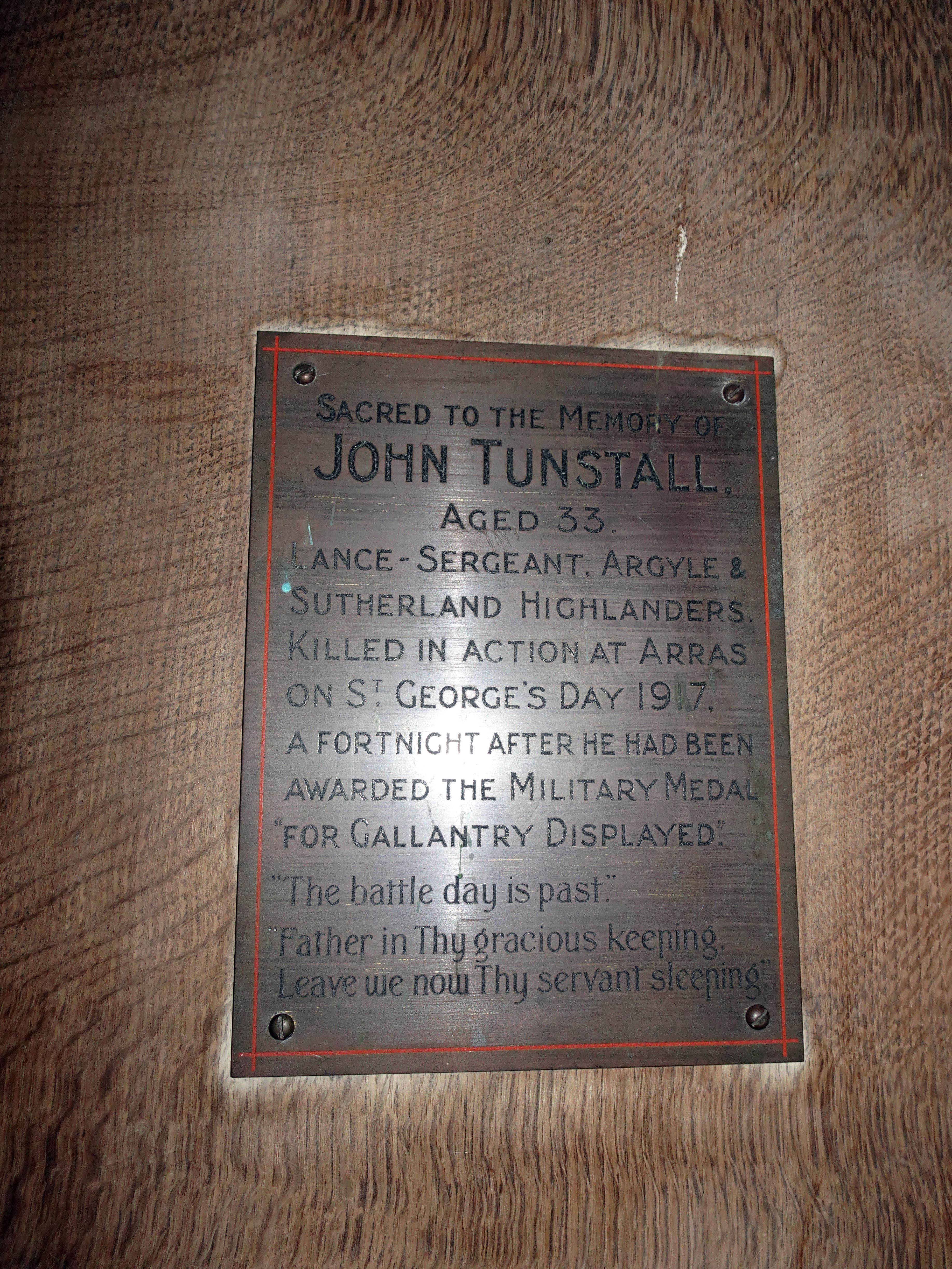
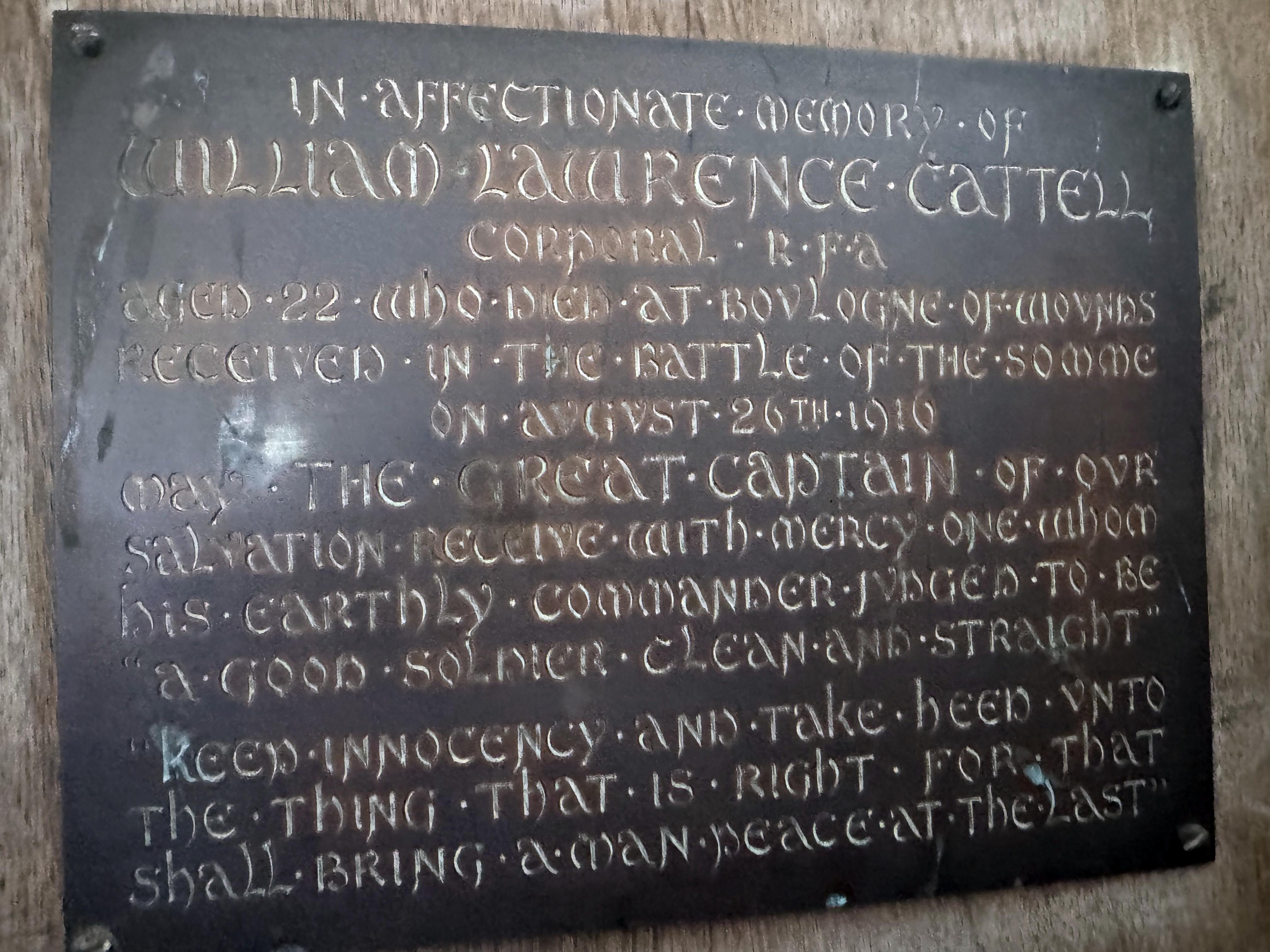
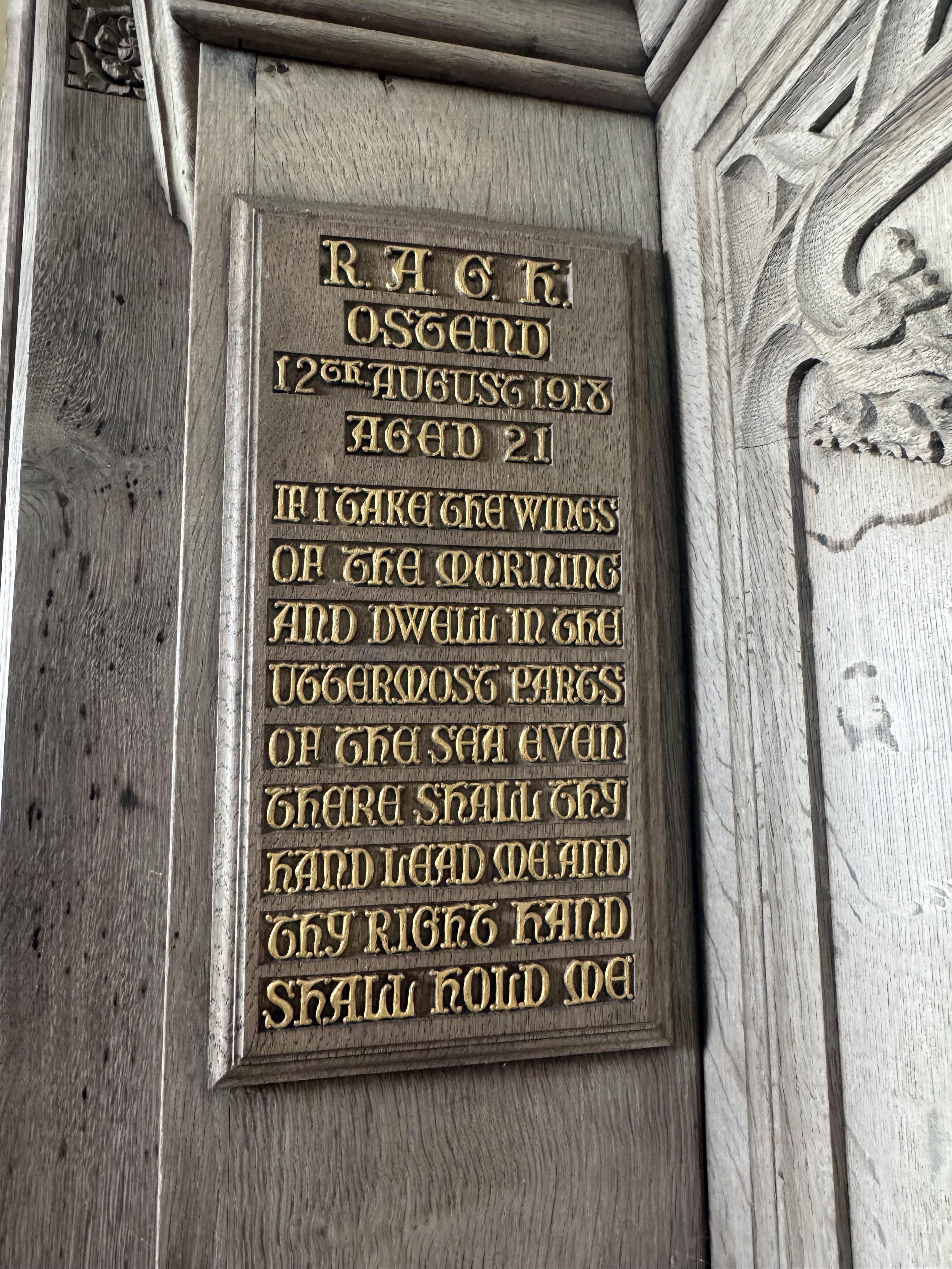
Indeed, it is heartbreaking to see that this chapel has so many memorials to local sons killed in the First World War. There is no graveyard here, as that is at Blagdon where the war memorial is, but still there are a number of plates and dedications throughout the church to young men who died in the war. Apparently, Lambrick diligently tried to remain in contact with all his flock serving overseas and wrote diligently to them and their families. Although there is no war memorial, the 1931 Calvary outside, which was looking resplendent in the late afternoon sun, has a moving dedication that at once connects this church to its rural locations, to those who died in war and those miners whose lives he hoped to make more bearable: “To the Glory of God and in memory of all those who lived and worked in Mendip and also lie in God’s acre beneath the hill.”
I could not recommend this church highly enough. It may only be open three hours a week during the summer season, but at least it is open, and with a bit of planning can add a lovely dimension to your walk, and you can even get some much‑needed refreshments before returning to the car park nearby. Many people know and appreciate the wonderful geology of Cheddar Gorge and the surrounding area, but its history is every bit as interesting as that geography and, as we discovered for ourselves, has been very much shaped by it. Fifteen thousand years of human activity in a gorge formed 1.2 million years ago from rocks created 330 million years before that can give you more than a little pause for thought of your own existence in this universe of ours. A cool and peaceful church on a hill in the summer sun is as good a place as any to contemplate this wondrous location.
|