This is an urban walk that Rupert and I undertook in preparation for leading a walk for the Art and Energy Collective. In that walk I gave a history of all three leats that brought water to the three towns of Plymouth, Stonehouse and Plymouth Dock (Devonport). I have decided to break those up into at least three separate walks to illustrate their respective histories but this particular walk overwhelmingly dealt with the most famous of the three leats; Plymouth Leat sometimes known as Drake’s Leat.

This is very much an urban walk, and sadly little survives of the original leat within the city centre but there are hints and glimpses and we can at least follow its course. Unusually for Rupert and me, this walk literally finishes outside my house as the leat literally passed within yards of my house very close to Outland Road just over the road from Pound’s House. Were I stood looking out from where my kitchen now is 436 years ago I might have spotted a team of 16 workers digging away as part of the momentous 17 mile project to bring water from Dartmoor to Plymouth just yards in front of me. I wouldn’t even have to raise my voice to talk with the foreman who would have been either William Stockham or John Stevane both of whom oversaw their own teams of 16 workers. Amazingly it only took them 4 months for the 35 men who dug the ditch to complete the stupendous task although the project had been held up for many years thanks partly to Queen Elizabeth’s reluctance to call a Parliament to pass the necessary act but also due to the national emergency of the threat of Spain which ultimately led to the Spanish Armada of 1588. Originally, the Lampen brothers of St. Budeaux had surveyed a route from the River Meavy to Plymouth as far back as 1576. It was this survey that gave rise to the famous Spry map showing the route of the leat from Dartmoor to Plymouth. With the Lampens spending 14 years marking out and preparing a route it is pretty clear that once the contractors got going, they knew exactly what they were doing and where they were going. It also helped that the lead contractor, who had oversight of the project, was no less a man than Sir Francis Drake himself.

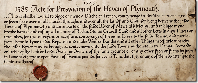
Drake was not involved in the early surveys, there having been an even earlier one undertaken by a Bovey tin miner named Mr Forsland in 1560. It was no accident that a tin miner was asked to mark out a leat as tin miners already extensively used leats and water for a whole variety of mining purposes from scouring to stamping to washing to pumping to driving machinery. Leats were a known technology and of course there was memory of the old Roman aqueducts that once brought water to baths and fountains in Roman settlements such as Dorchester and Exeter. However, this was still a formidable civil engineering project being undertaken by Plymouth Corporation which at 17 miles was at the time the longest leat that had ever been built in the kingdom. Sir Francis Drake’s role has been both over-emphasised in historic hagiographic accounts of the scheme but also they have been overly diminished by more modern historians keen to undermine his reputation and criticise his personal motivations. Of course, the truth is more nuanced than either side would have you believe. The scheme came to his notice in Parliament whilst he was MP for Bossiney (near Tintagel). As a former mayor of Plymouth and as a sailor with extensive knowledge of Sutton harbour he would have been aware that the growing port of Plymouth was struggling to find enough water for their own population let alone for the all the ships to-ing and fro-ing in and out of port. Funnily enough, the original bill presented before Parliament did not even mention providing water for the people of Plymouth it had 4 provisions. 1) Provide water for naval and merchant shipping. 2) Irrigate agricultural land it passed along. 3) Provide water for firefighting and 4) to scour Sutton Harbour (i.e. help flush out the silt that was building up along the entire River Plym largely due to the activities of Dartmoor’s tin miners). In Committee stage, Sir Francis Drake added a 5th provision 5) to use the leat’s water for the purpose of driving mills. Now it just so happened that he leased a mill already at Millbay which was powered by the tide. Water power was by far the most reliable form of power in the Tudor world. Muscle power got tired, wind power was unpredictable but leats could supply a known quantity of water 24 hours a day enough to power water wheels that could be used for all manner of agricultural and industrial uses. And of course, Drake’s sailors needed flour every bit as much as they needed water for their long voyages. So when the danger of the Spanish Armada had passed and Drake’s adventure to Lisbon had fallen flat in 1589, he threw himself into resurrecting the 1585 Water Act and personally took control of the project.
He clearly was a motivator of men, but he was also possibly inspired by personal gain. He was allocated a budget of £200 for the construction of the leat and a further £100 to give as compensation to landowners whose land the leat passed through. He quickly identified speed as being the key to allowing the project to come in under budget - helped no doubt by the Lampen brothers’ preparation in advance. The workers seem to have been very happy to work so assiduously under one of the true heroes of the age. The most difficult part was up close to where the current Burrator Reservoir is located as various wooden launders had to be built to allow the water to flow around the granite boulders perched along the valley up there. But once these had been cleared a very gentle gradient had been mapped out for the workers to follow. The leat then looks nothing like the granite-lined leat which you can see now on stretches of Roborough Down, for instance. It really was just a simple ditch with the earth from the channel used to provide the banks. It was simple and easy to build - although it would prove a nightmare to maintain. The granite-lined leat did not really make its appearance until the late 1860s with a few exceptions. It is believed that Drake managed to come in at £100 under budget which allowed him to keep the difference. Again, it is easy to criticise Drake for this, but he did not go back to the corporation for more money and he delivered what he promised in record time. He was also to make money with the compensation. He quickly realised that many of the landowners were keen to have access to the leat’s waters in lieu of monetary payment. The landowners would gain the right to take water for perpetuity effectively. Meanwhile Drake kept nearly £40 of the £100 compensation budget he had been allocated. He even managed to pay some compensation to himself as he was renting Edward Parker’s house in Hyde Park where the leat ran through the grounds! Drake was definitely canny. But the money he made from the construction project was as nothing compared to the money he would make from the mills he would establish along its course. He would have two at Knackersknowle and a further four around Plymouth itself. He would also divert the leat to Millbay where of course he had another mill. It is estimated that he would be making about £200 a year from these mills. Indeed, such was the threat to other rival mill owners along the River Plym, they took to Parliament to seek compensation for Drake’s Leat, taking too much water out of the Meavy which of course fed in to the Plym and provided power for their mills. Unfortunately for them, when it got to committee stage in Parliament the MP for Bossiney (Drake) killed it off. Unscrupulous? Definitely, but also he provided a community resource at the budget set aside to deliver it. Furthermore, the people of Plymouth were permitted to access water conduits with the fresh water for free. You only paid if you wanted it piped to your house. The people of Plymouth were delighted to have access to good quality water from the moors for free.
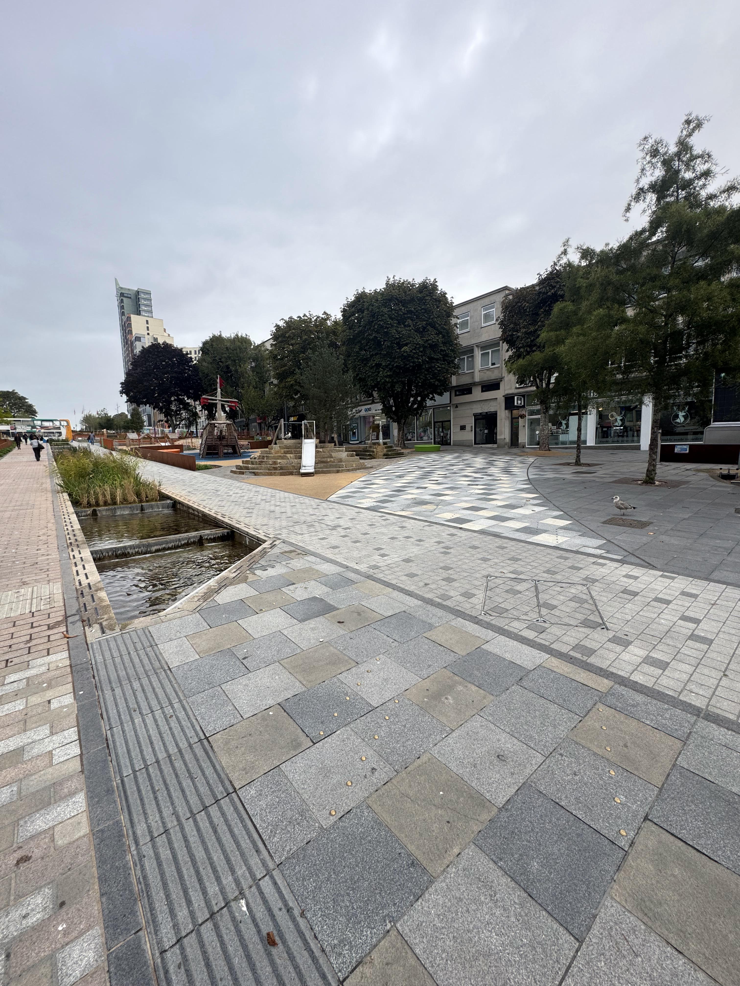
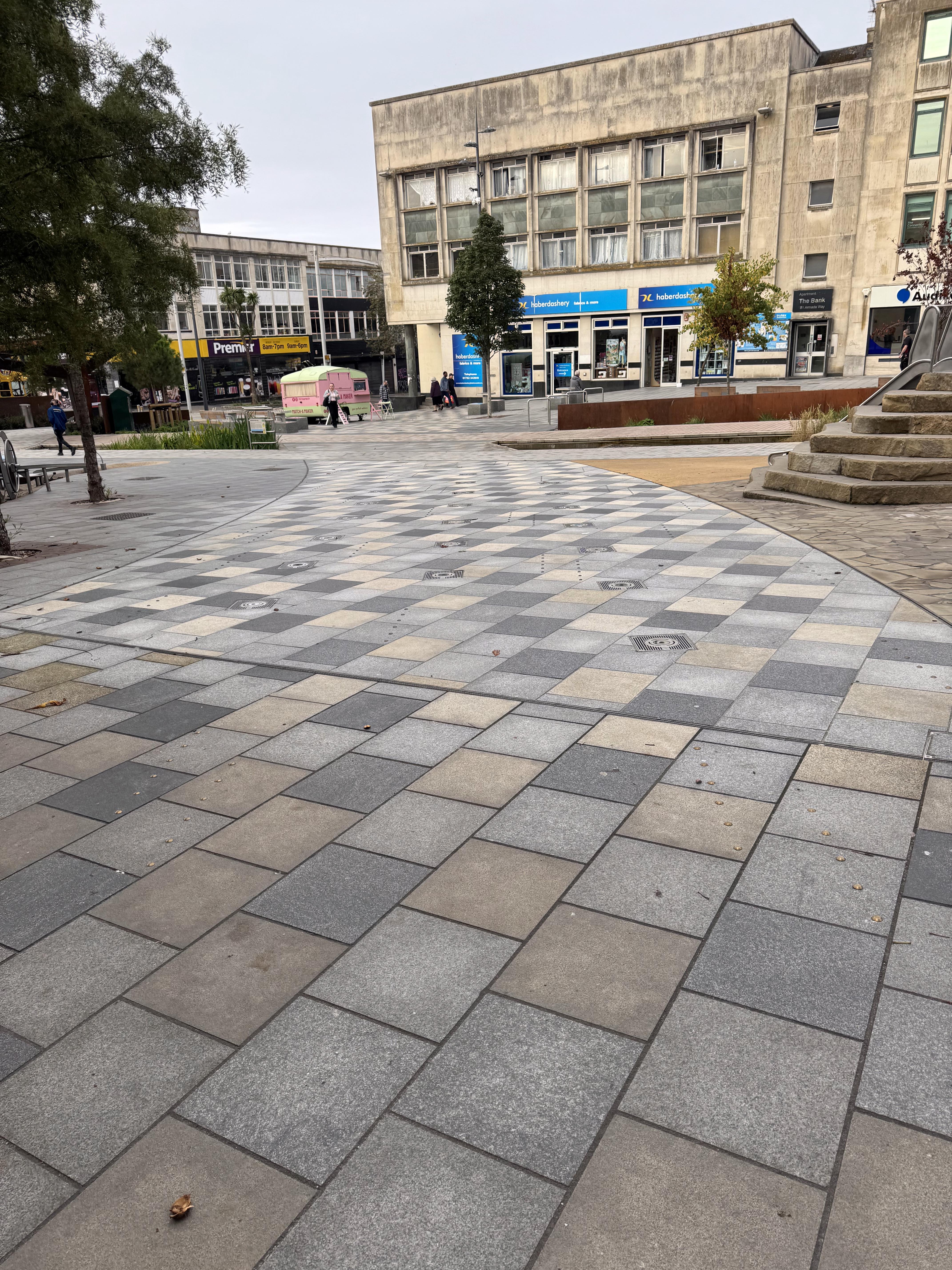
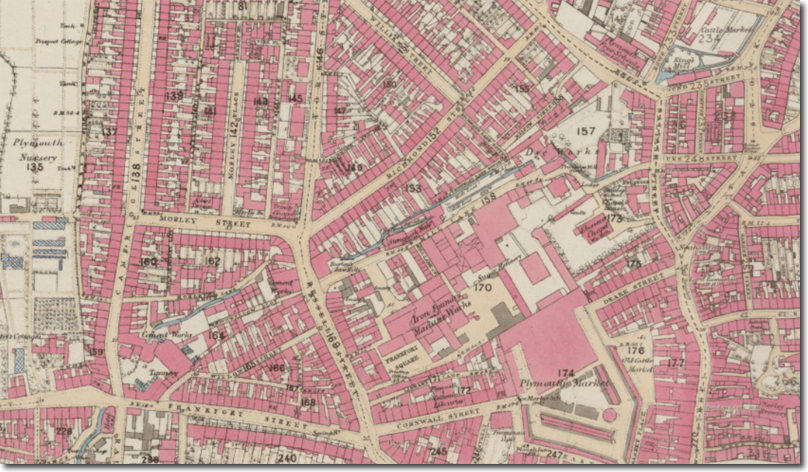
With regard to the walk, If you start at Armada Way in the centre of Plymouth, just north of the sundial you will see some metal studs which actually mark out the route the leat once took to reach Drake’s mill at Millbay (the clue is in the name). They rediscovered the leat whilst redoing the Armada Way and recovered it back over but at least they marked out where it once stood. It must be remembered that this is Drake’s diverted section, although built only within a year or two of the original leat, which emptied into Sutton harbour. At the time of Drake, this Millbay section was firmly outside Plymouth’s boundaries and would have been relatively fresh. Over time, though, as Plymouth grew as an urban area, this section was relegated from providing fresh water to providing power for a whole plethora of mills and industrial units along its course. Indeed this area would become known as Mill Lane and by the 19th Century it had been divided up into a few channels to provide water for several flour mills, a bone mill, a tannery, dye works, canvas works, iron foundry, a saw mill, two cement works and several tanneries. So if you were stood in Armada Way in the Victorian era you would not have been stood in a shopping district, you would have been stood in the heart of the industrial section of the town, all powered by water!

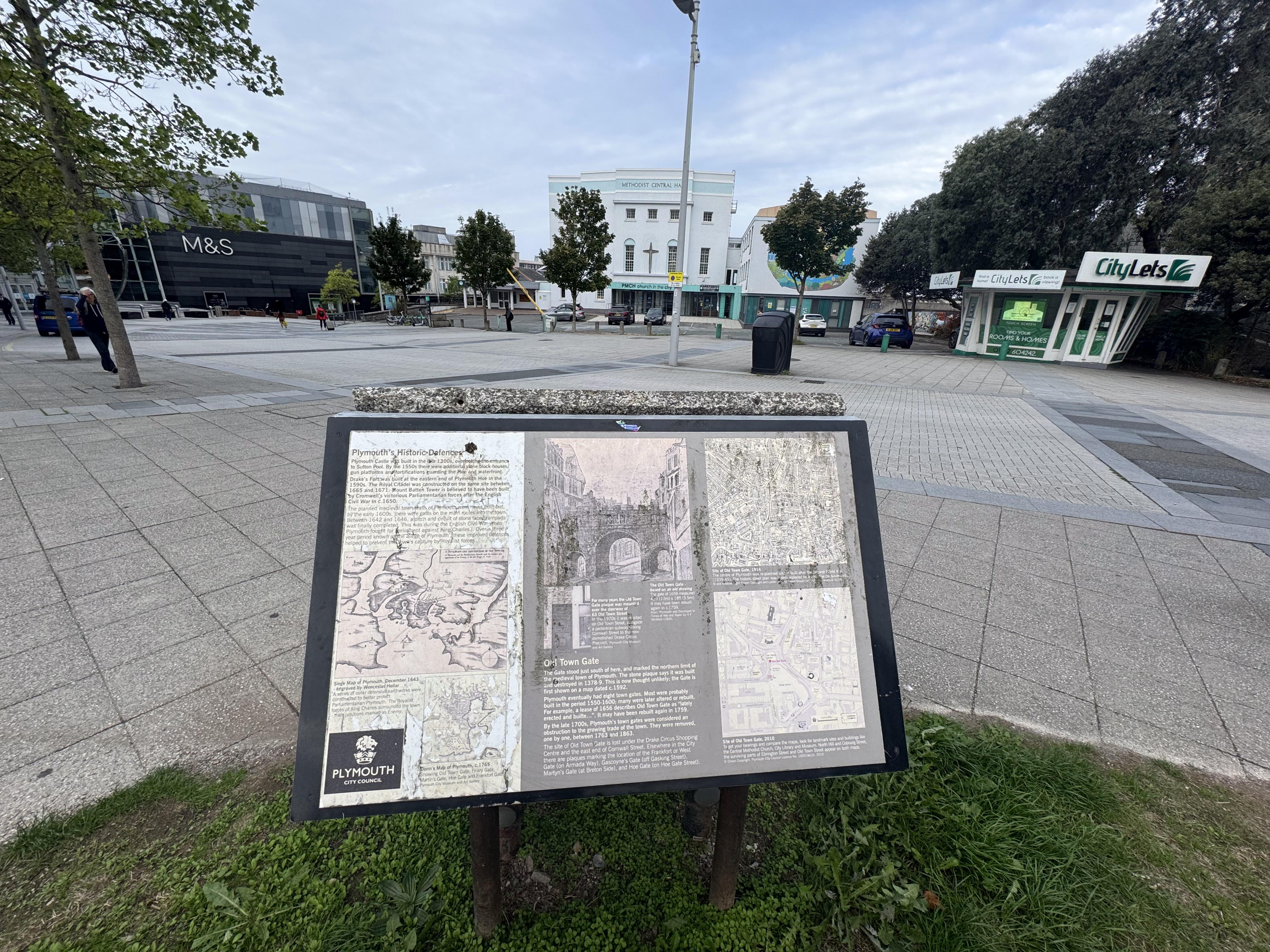
Sadly most of the route lies now under the buildings. The leat almost makes it to Mayflower Street, but not quite. It mostly lies under Mayflower Street East Car Park. Once upon a time, the roads and buildings would have followed the leat but after the Blitz, the city centre was completely rebuilt on a new grid that did not pay much heed to the history of what had once stood here. It would have emerged where The Good Companions once stood. It actually would have flowed around the Money Centre, remembering that it was flowing down towards Millbay. Just outside the Drake’s Circus shopping centre, used to be Old Town Street Gate and there is a memorial board marking that location. There was once an important water conduit here where you could collect water for personal use. The leat once passed close to the gate with the original leat going down towards the Barbican, and the Millbay branching off near here - possibly under Coburg Street in front of the Levinsky Building - which is where we need to cross the road. The Levinsky Building is on the site of two substantial users of the leat. Firstly, on the very bottom tip would have been King’s Mill producing flour. And then just up above it would have been the Cattle Market which also required the water.

As you begin to walk up North Hill, the leat would have flowed by you along this western pavement. But stop for a second at Glanville Street (which bisects the University now) and you would have been looking at an even older leat that predates Drake’s by a few decades. This was the route that once carried the water of a stream from the Shute farm to just outside Old Town Gate. This was built by William Hawkins (brother of John Hawkins) to try and alleviate the water difficulties in the 1560s. He also repaired lots of wells which had been the principal source of water for centuries. Indeed, one of the wells must have been close by as the Halwell Street name that travels north off of Glanville Street attests. There are quite a few ‘well names’ surviving as they were so well known to the locals as a critical point in the community. Sadly only a couple of these wells still survive, and invariably you have to eat some food to see them. One is in Prysten House next to St. Andrew’s church and another is in the Asian Noodle Bar on Buckwell Street. But the now pedestrianised Glanville Street reveals that the concept of using leats was not unknown in the Tudor times. It is just the extent of the ambition that makes the Plymouth Leat stand out more.
Carrying on up North Hill, though following the old leat route, you would have seen another Flour Mill where the current Sherwell University building is. Named Old Town Mill, this flour mill was operating for centuries before it came down in the Victorian era. Just opposite it, where Cafe Celia and Bar Cuba now are, would have been a large tannery - run by the highly appropriately named Mr Tanner! He himself lived just further up the road in what was once a very substantial Sherwell House with beautiful gardens illustrating just how profitable tanning once was! We, though, stay on the west of North Hill and enter Drake’s Place Park. This park was not built until 1891 as part of a beautification process as town planners lamented the loss of green space in our rapidly urbanising centres. It became available with the demise of Drake’s Mill and a bone mill that had operated for centuries too. The bone mill was to crush bones to use as a fertiliser. Both mills would be lost as a consequence of 19th-century globalisation. Bones were being replaced with guano and saltpetre in the late 19th century. The mills were closing as railways were opening up the vast prairies of North and South America and allowing cheap flour to flood across the world to the benefit of consumers and consternation of producers. British agriculture never fully recovered from the cheap and abundant food that flooded into the country thanks to trains and steamships. Millions of workers began their exodus from the countryside to urban centres or to the colonies looking for work and opportunities. My own family moved from Sheepstor to the outskirts of Plymouth in the 1870s for this reason.
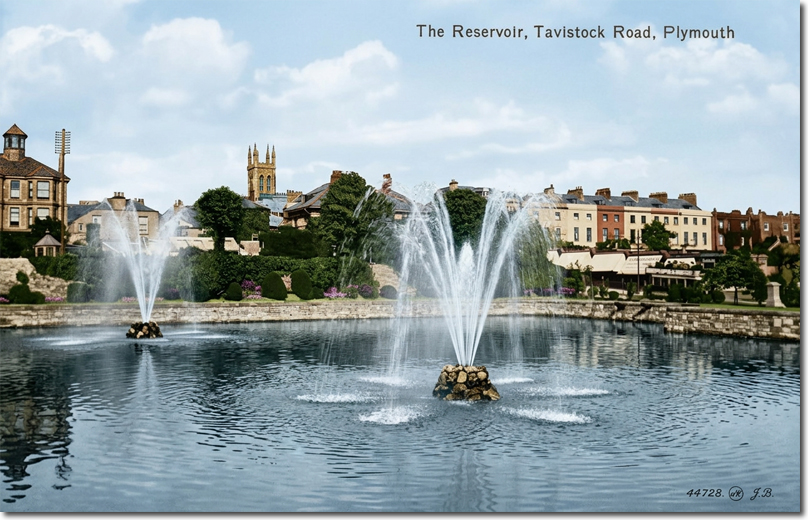
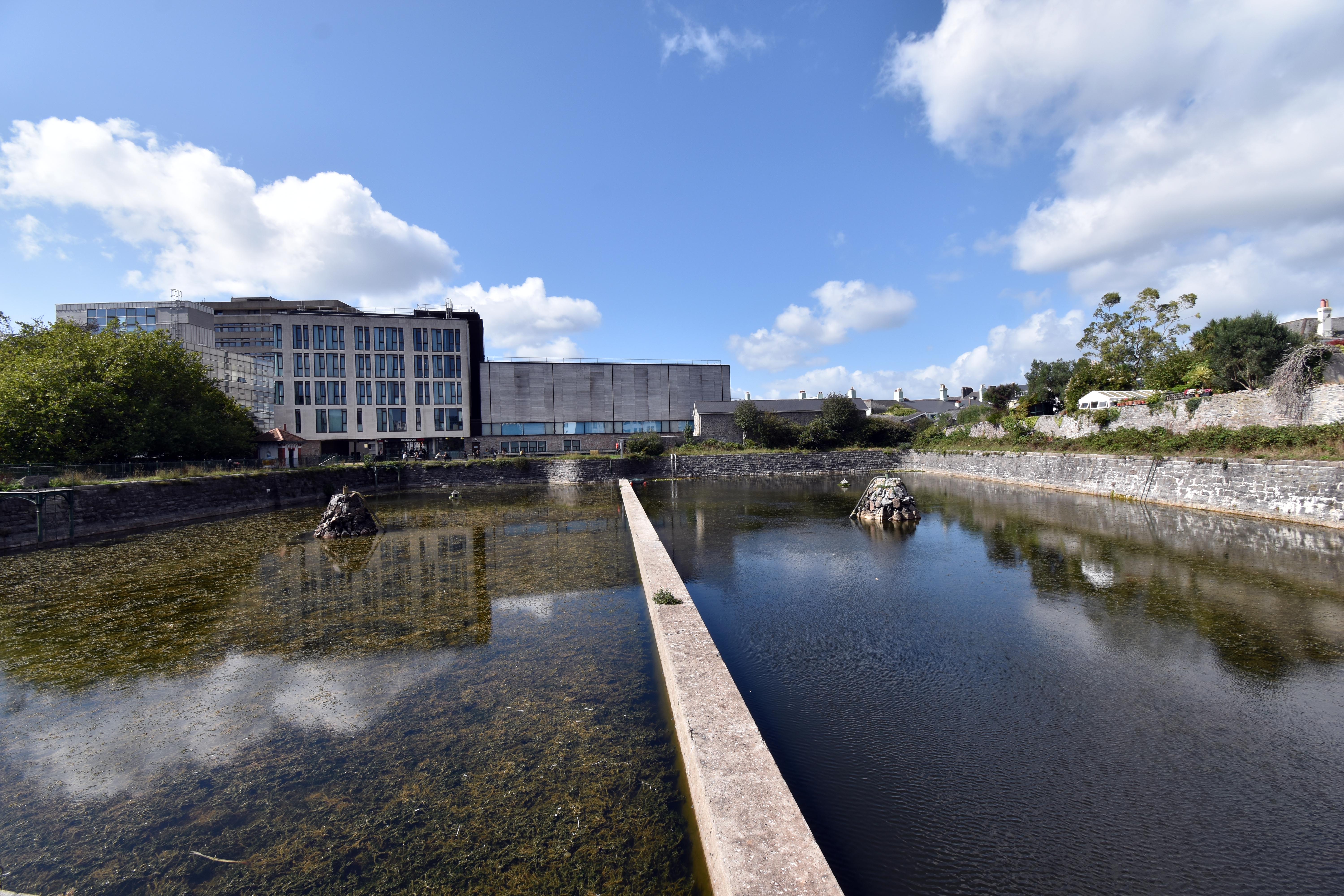
Now it should be pointed out that the Drake’s Place Reservoir is, relatively speaking, a mere two centuries old. Drake’s contractors did not have the budget or inclination to build such a vast structure. They wanted a leat that flowed - nothing more and nothing less. The reservoirs here were built as a consequence of the winter of 1823. It is something of a paradox to realise that the biggest threat to the leat was never droughts or hot summers - Dartmoor released water all year round, even in hot summers. It was cold winters that were the problem, as ice or snow could block the channel altogether. This happened in 1823 and saw severe water shortages for ships and people alike. They were also worried about fire-fighting abilities with the water running so low. This shortage coincided with plans by the Royal Navy to build a new purpose-built victualling yard - the Royal William Yard which would require fresh water of its own to supply to ships before they set off on their voyages. So the Admiralty subsidised the building of Drake’s Place reservoir so that it might continue supplying water to the old victualling yard on the Barbican. It would also build its own Admiralty-use only Reservoir just up around the corner for use of Royal William Yard and also of the Royal Naval Hospital at Stonehouse (Stonehouse was struggling to get a good water supply of their own). Drake’s Place would eventually have two distinct reservoirs. The upstream one was to collect the flowing water and allow it to settle - with floaty bits being scooped off the top and heavy bits falling to the bottom. Once this water had settled, it would be siphoned into the lower reservoir for distribution.
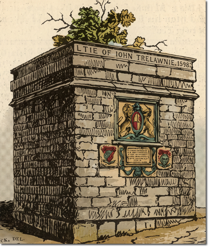
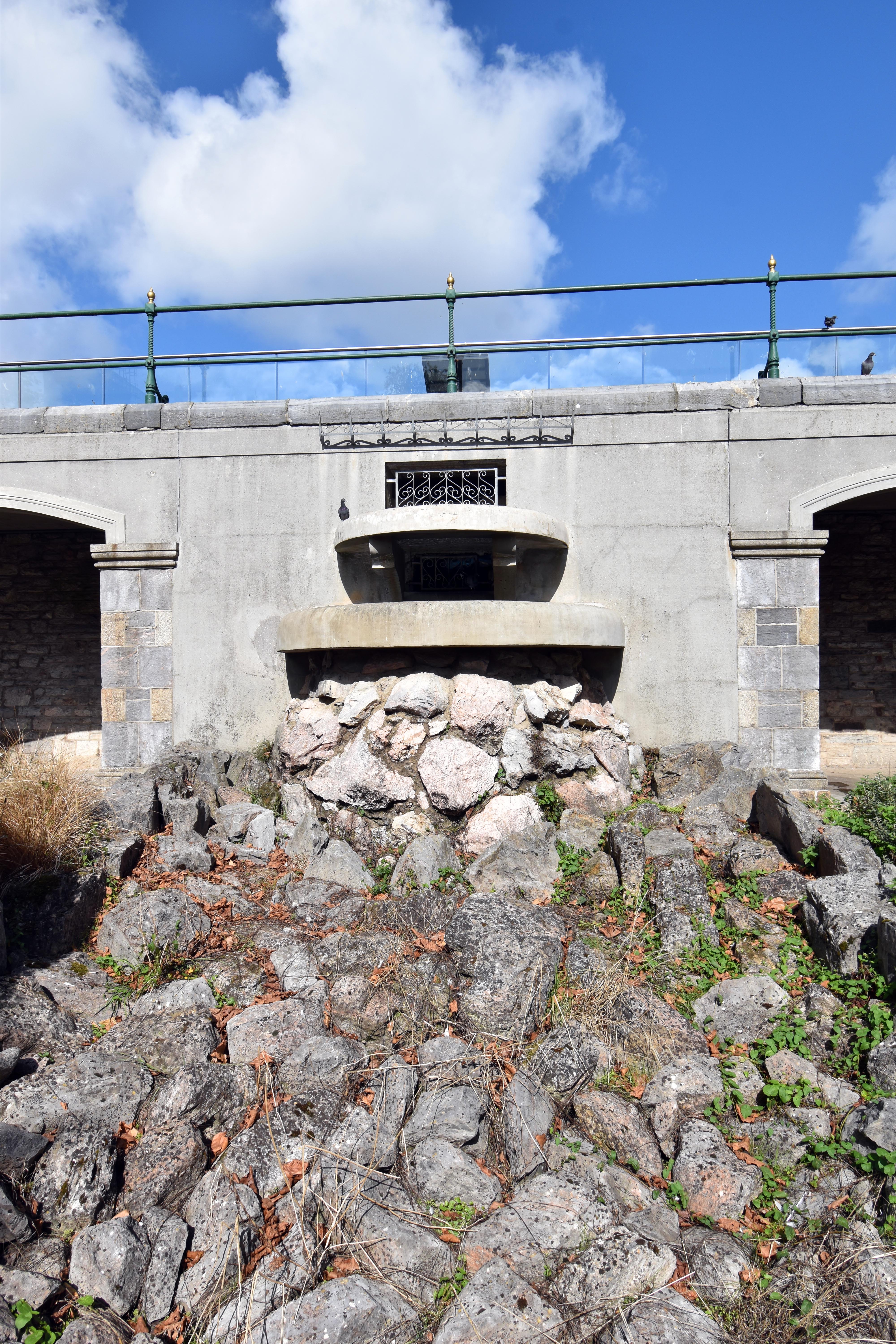
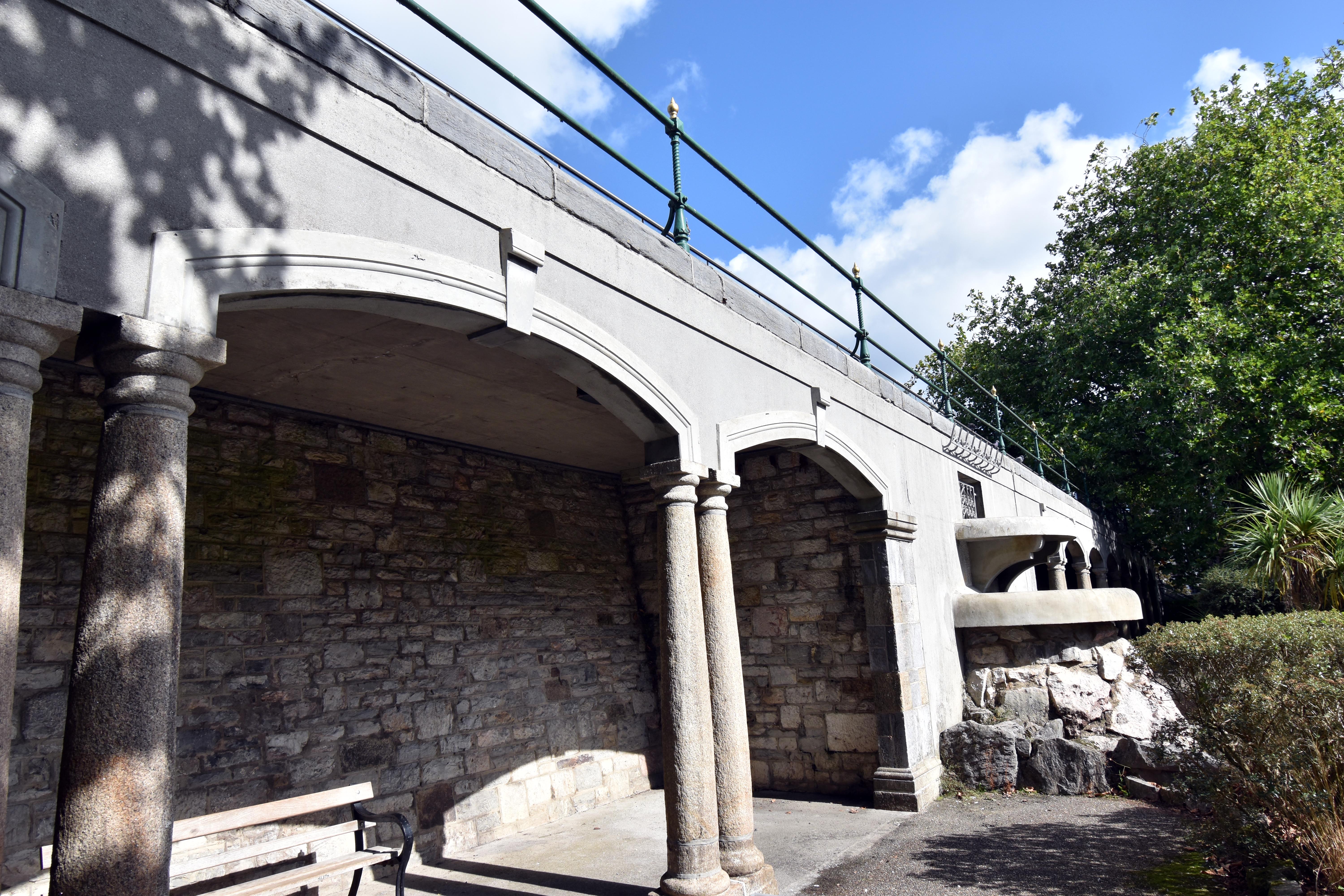
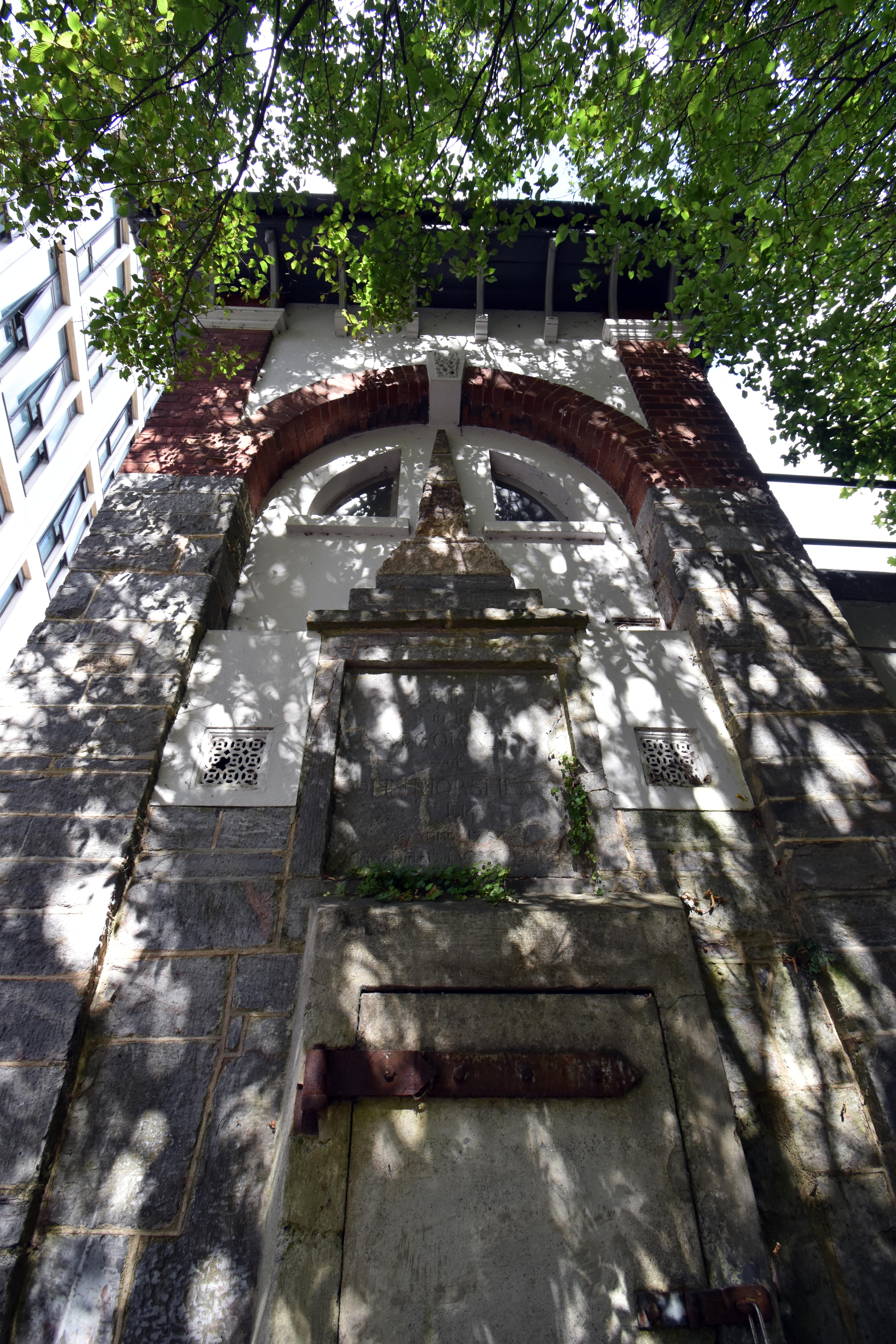
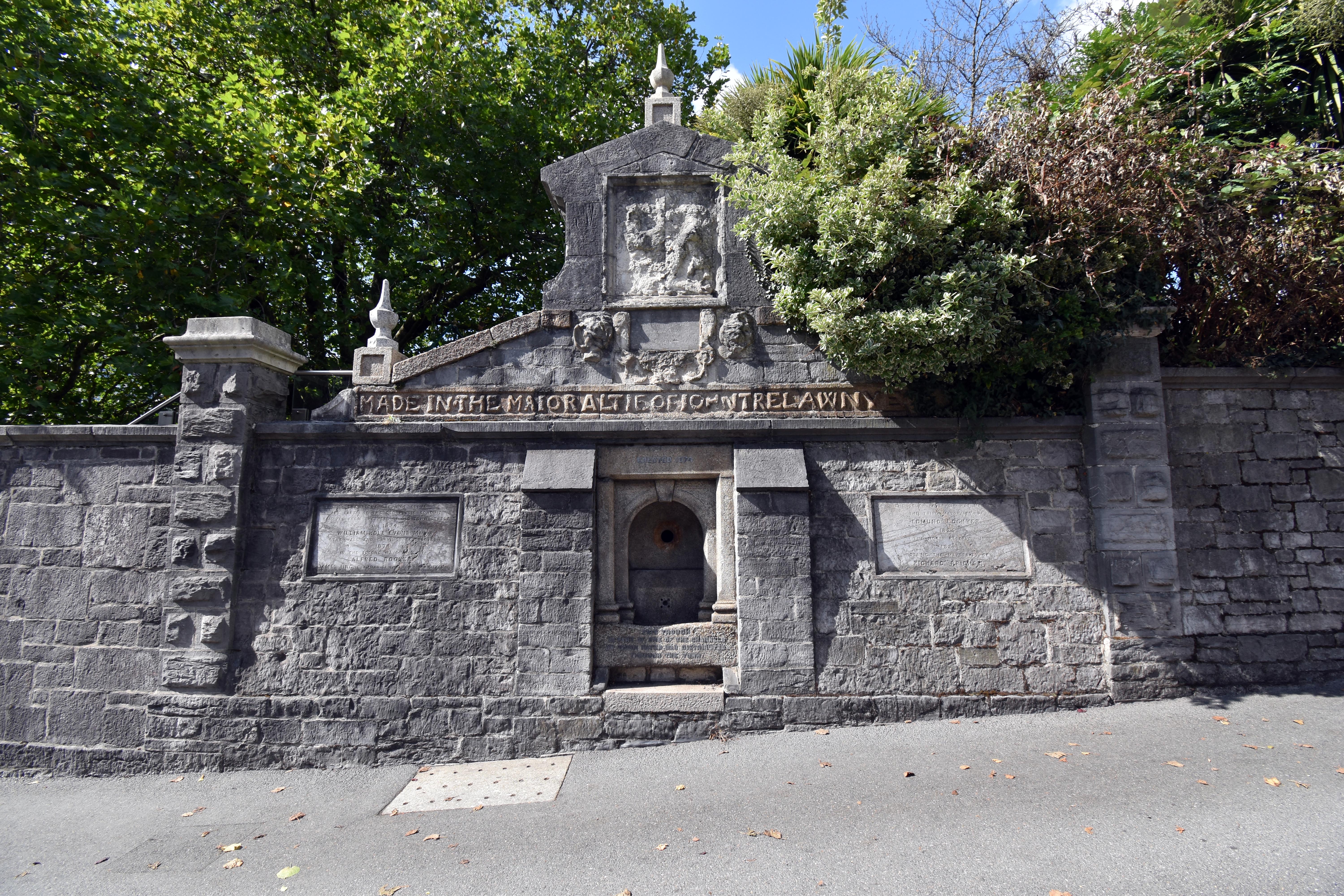
It should be said that these new reservoirs would also see the end of the old form of distributing water for free through various conduits around town. The Corporation now wished to pipe water to all the houses, and of course charge for the privilege. Iron pipes were laid to distribute Drake’s Place’s water. There is actually a plaque on the Barbican, that commemorates this remarkable feat of laying pipes throughout the borough in 1826. Interestingly, there is not just one but two of the old water conduits built into the Drake’s Place Reservoir complex. One is just outside the park by the stairs leading up to the reservoir. This is known as the Morshead Conduit and dates from 1754. It is actually in the place where it was built, but of course some 70 years before the Reservoir was here. It is a sign that Plymouth was expanding outside of its old confines and up North Hill. In 1891, it was incorporated into the renovations of the park and reservoir to provide lavatories and storage for the workers - hence it is far taller than it once was - double the height! The other conduit is even more interesting. This one is on the main North Road just below the Reservoir. This is known as the Trelawnye Conduit and dates all the way back to 1598, when he was mayor of Plymouth. This once stood in Old Town Street and was taken down in the 1830s as a consequence of those iron pipes being laid. For some reason, it was kept and actually built into the walls of the Reservoir in 1874 as part of a fountain for people and horses trying to pull their heavy loads up North Hill. This is one of the oldest parts of the leat still in existence, even if it is slightly further up the hill from where it was originally built.
Standing at the reservoir looking north, you would have seen a new leat-powered pump built in the 1840s in order to pump the water to the new prison, workhouse and housing going up on the top of North Hill. The original leat could not flow uphill so the pipes required a flow of water to power that water uphill.
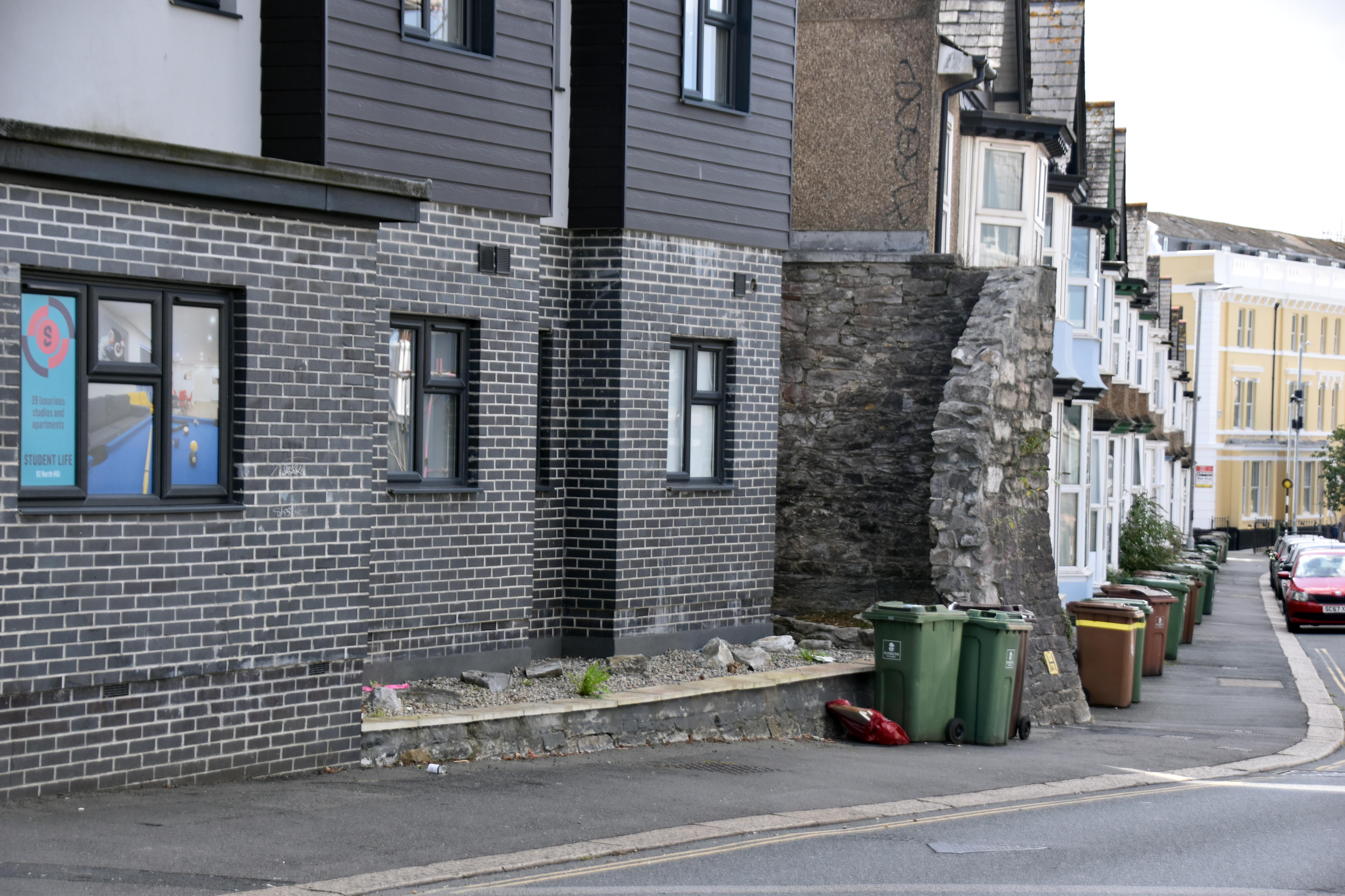
We would have to leave the reservoir out the back into the University walking up Endsleigh Place to try and rediscover the original leat route which flowed mostly along Houndiscombe Road. But before we continued along Houndiscombe Road, we take a little diversion down North Road East - not far - less than a block. You see student accommodation surrounded by a surprisingly big, bulky limestone wall. Once, this wall wrapped all the way around as this was the location of that Admiralty reservoir. You can actually walk under the student accommodation through their car park and get a glimpse of what it would have looked like two centuries ago. It used to be known as Reservoir Place!

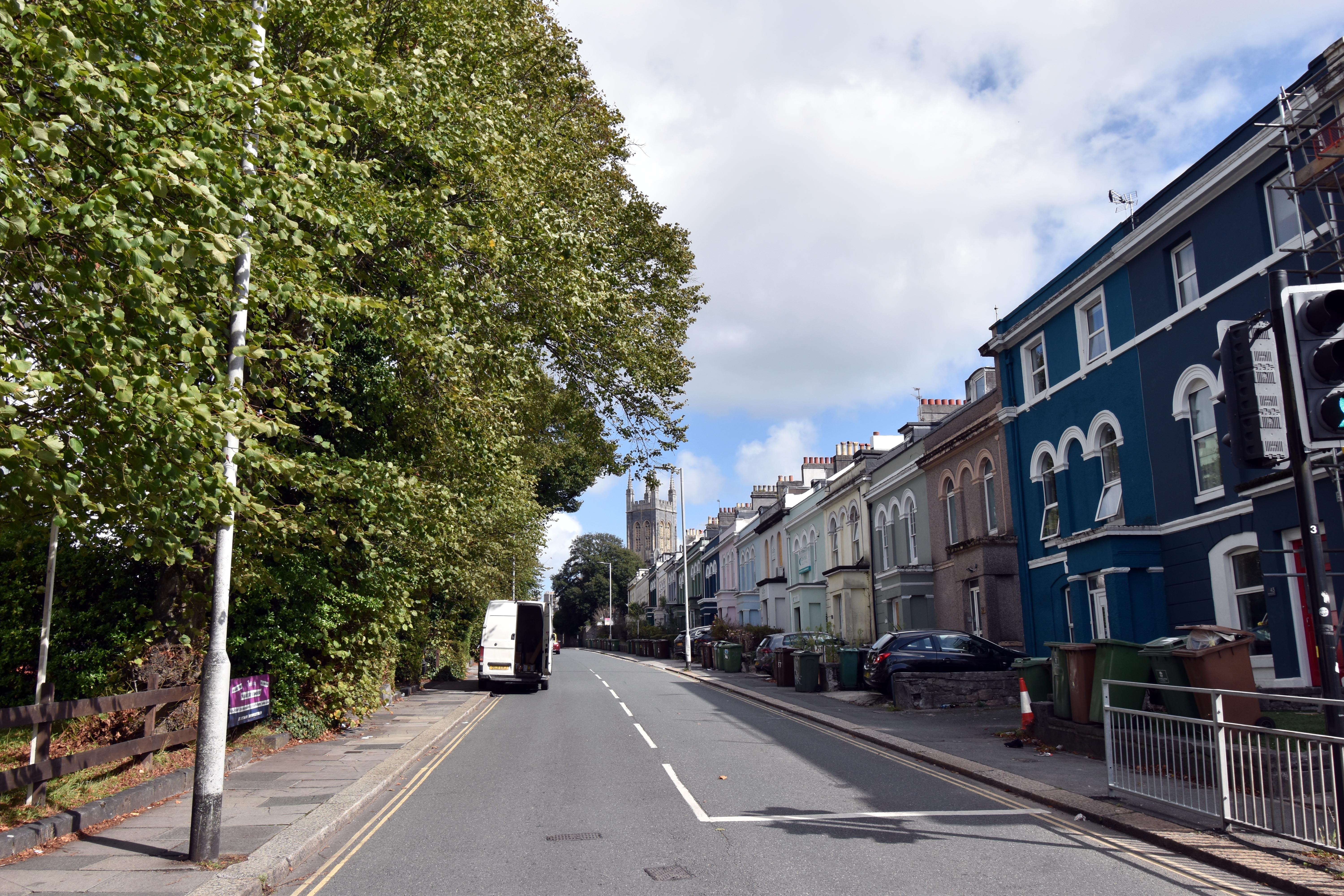
Heading back up to the Houndiscombe Road - North Road East junction, we glance at the row of houses in north east of the junction. Once upon a time, the leat emerged from pretty much the middle of this row on its journey towards where the Reservoirs were built and down towards Old Town Street gate. We, though, followed Houndiscombe Road. At the junction of St. Lawrence is where the leat veered into what are now buildings as it sought to maintain that gentle gradient. Otherwise, it ran the entire length of Houndiscombe Road. Indeed, Houndiscombe Road is where it is now because of Thomas Hawksley’s 1864 Report on the state of Plymouth leat. He found much to criticise including the fact that it leaked, was easily breached on the moors by livestock, meandered excessively, was a danger to young children and was liable to be polluted especially in the urban areas such as this area was becoming. Hence he made a series of recommendations. One was that it be covered over in places especially the urban areas. He also recommended that the ditches be replaced with a concrete base and lined with granite and made more consistent in width and depth. He also recommended that the newly built Hartley Reservoir (which was fed from pipes coming from Crownhill) be used as the main source of fresh water for Plymouth and that the old leat flowing after Crownhill should only be used for commercial purposes and as a source of water to flush out drains and for firefighting purposes. Hence Houndiscombe’s leat was covered over and a road with a tramway ran along it providing a new, flatter route into Plymouth avoiding North Hill. Hence it was used for a while by an experiment with steam trams! Interestingly, when roadworks have been done on Houndiscombe Road, the old leat has been found to still be running below it - quite a long way below - some 30 feet down!
Still on Houndiscombe but opposite Allendale Road there is a gap in the housing that once upon a time was the location of an emergency overflow system that could release water down to the Pennycomequick stream and also into the Stonehouse leat if it the water was too high. Then, once you get to the end of Houndiscombe Road, just in front of a less than elegant vape shop and chicken takeaway, you can still find one of the old Plymouth leat boundary markers in situ. Once these ran along much of its length, basically advertising their ownership to Plymouth as opposed to Stonehouse or Devonport and also acting as a warning not to pollute the water supply. Basically, you couldn’t say that you were ignorant of its purpose with all these markers saying that it was the property of Plymouth Borough Council and so could be fined if you were found to be polluting it or taking the water illicitly.
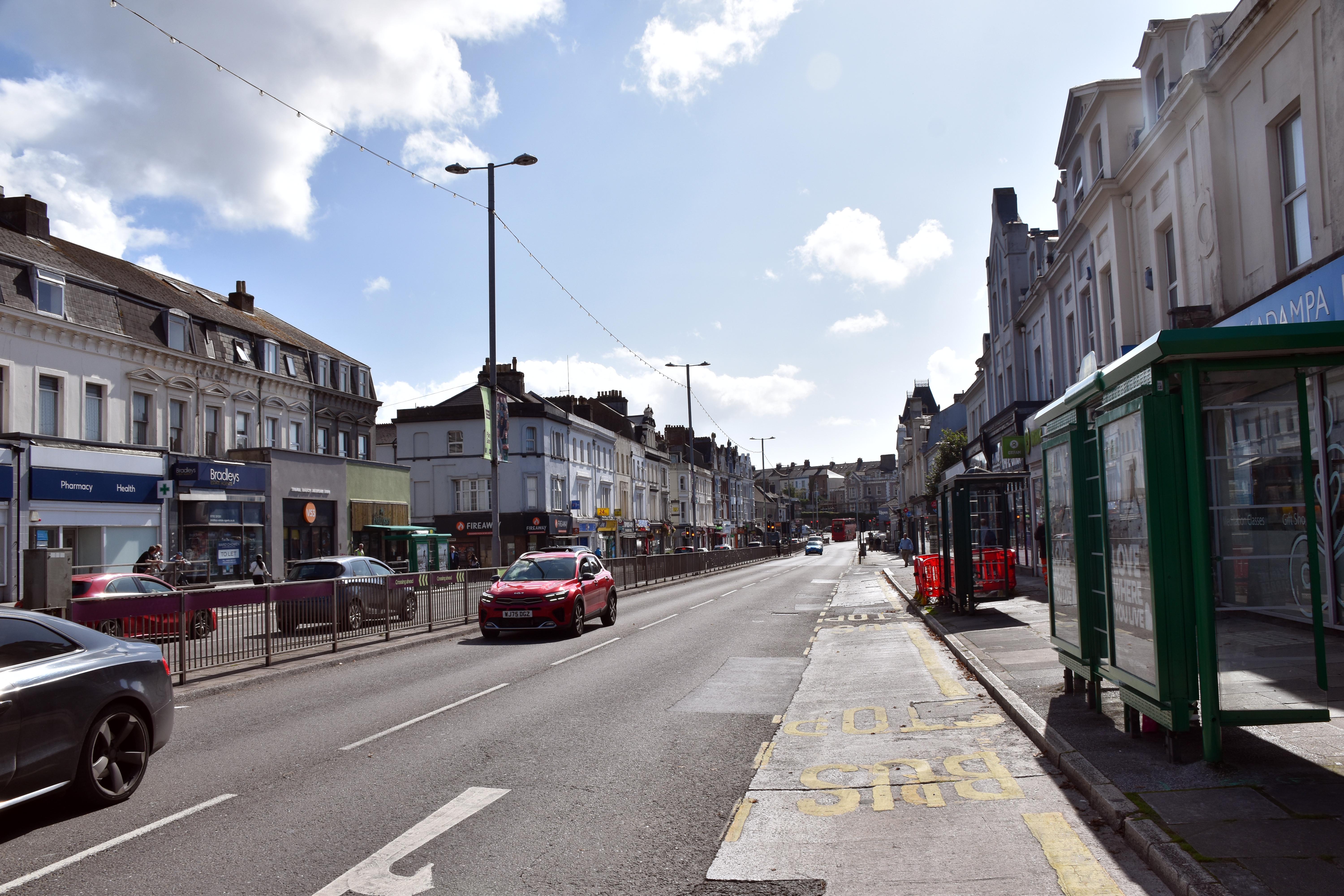
Walking north over Mutley Plain the leat would have run on the western side of the road pretty close to where the pavement is now. Later it was covered over, but sections of it were still open at the upper end of Mutley Plain. Mutley Plain was a critical access point to Plymouth as it was the only natural connecting ridge to the borough. The Laira once flowed down the valley to the east and the Pennycomequick stream flowed into the Stonehouse Creek to the west. Mutley Plain was the only place where the gradient could be maintained for the flow of water. Funnily, when you get to 46 Mutley Plain (which is now a Chinese backed Tibetan Yoga Centre) the owners back in 1966 once accidentally found a legacy of the old leat when they were digging in their basement. The entire floor gave way revealing an 11-foot-deep stone-walled pit containing 10,000 gallons of water that had once been used as a storage tank - perhaps a private one fed from the leat. I bet they had fun with structural engineers to sort that one out.
At the end of Mutley Plain, the leat would actually have come down from the east side of The Hyde Park pub. It then looped towards Wilderness Road. There is actually a small back lane starting over on Hermitage Road close to Hyde Park Road where the leat once followed almost exactly the crooked route that the lane still follows to this day. Again, it is likely this was built over thanks to Thomas Hawksley’s 1864 Report.
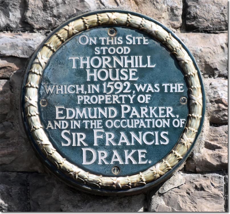
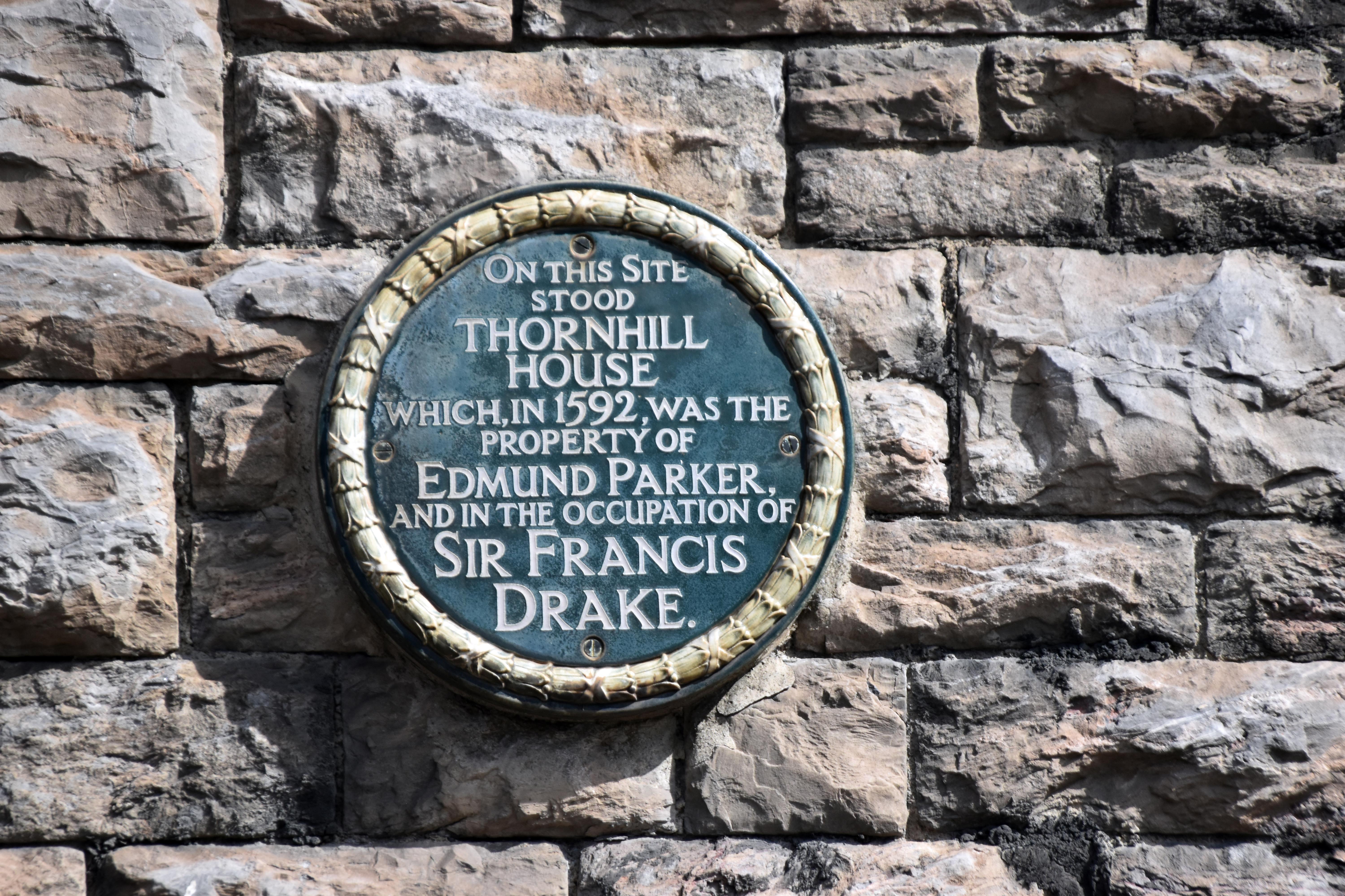
Crossing Hermitage Road, it would have flowed just behind Hyde Park school, literally between the building and the playground in what now looks like a sunken area. This was once the location of Edmund Parker’s house which Sir Francis Drake rented from him so that he could conduct business in and around Plymouth. The same house that saw Sir Francis award himself compensation for the leat he built in the grounds he was renting! There is a blue plaque on the front of the school pointing this out. It then would have gone back up towards Mutley Park where, in Oxford Avenue between the two bits of park, it did something of a U-turn in order to maintain the gradient. It once again disappears beneath buildings emerging close to where Wesley Avenue pops on to Weston Park Road close to the Coop on the corner. It then almost follows Weston Park Road for a bit (probably under the buildings on that stretch) before crossing back over Weston Park Road and under more buildings, until it would have been seen at Churchill Way (one road over from Weston Park Road).
It would have followed Churchill Way pretty much until Ludlow Road whereby it did another U-turn and then followed the valley up just to the west of Weston Park Road until just after Bella’s Pet Supplies when it would have cut right across the Peverell Park Roads until it got to the Peverell Post Office on Peverell Park Road. Here, it would have flowed from just over Outland Road where it would have made a 90 degree turn at the gallery shop and accountancy on the corner with Beauchamp Road. This then was part of the huge loop around Pennycross and Beacon Park - all to maintain that gentle gradient. From this point, it would have flowed pretty much under the row of houses on Outland Road emerging in the car park of Ocean City Retreats (the old Natural Healing Centre) which is right in front of my house. As I said 436 years had I lived on this spot I would have been delighted to see them digging this ditch to bring fresh water from the moors to Plymouth. I’d have happily taken my bucket down to the leat to get some fresh water as and when I needed it. And it wouldn’t have cost me a penny. So, no wonder the people of Plymouth thanked Sir Francis Drake for overseeing this project and frequently naming it in his honour - even if he did pocket a small fortune in the process of building it. The advantages were so enormous to so many, they did not mind.
The leat remained in use until 1894, when pipes from Burrator started providing water to a variety of covered reservoirs between there and Plymouth. Burrator Reservoir was built as a consequence of two further harsh winters in 1881 and 1891 when the leats froze to such an extent that soldiers and teams of workers were despatched from Plymouth to hack their way through the ice and clear the snow to get the water running again in diabolical conditions. On both occasions, they came perilously close to running out of water hence the idea of a dam and reservoir, which was built to flood exactly where the Lampen brothers had decided to build the weir and sluice gates to bring the River Meavy’s waters into the leat and eventually to Plymouth all those years before. It is interesting that we still get our water from the same source; it just comes in pipes rather than in a leat! Drake’s leat had been used for just over 300 years but Burrator Reservoir, which formally opened in 1898, is just another improvement amongst many to his original water supply system over the intervening years. At 128 years old, Burrator Reservoir is a mere whippersnapper compared to the original leat. Will it last as long as Drake’s leat did?