|
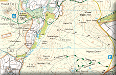
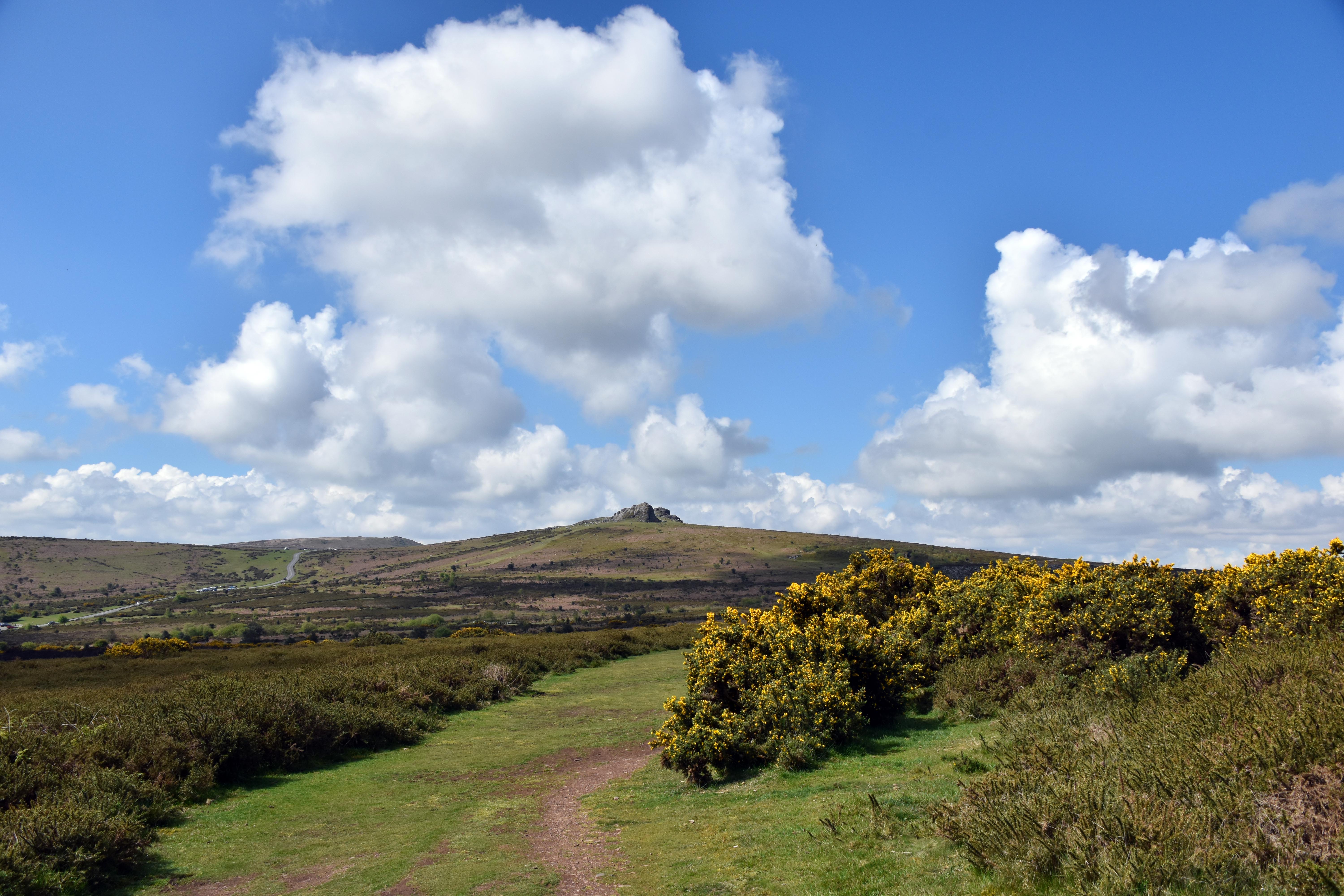
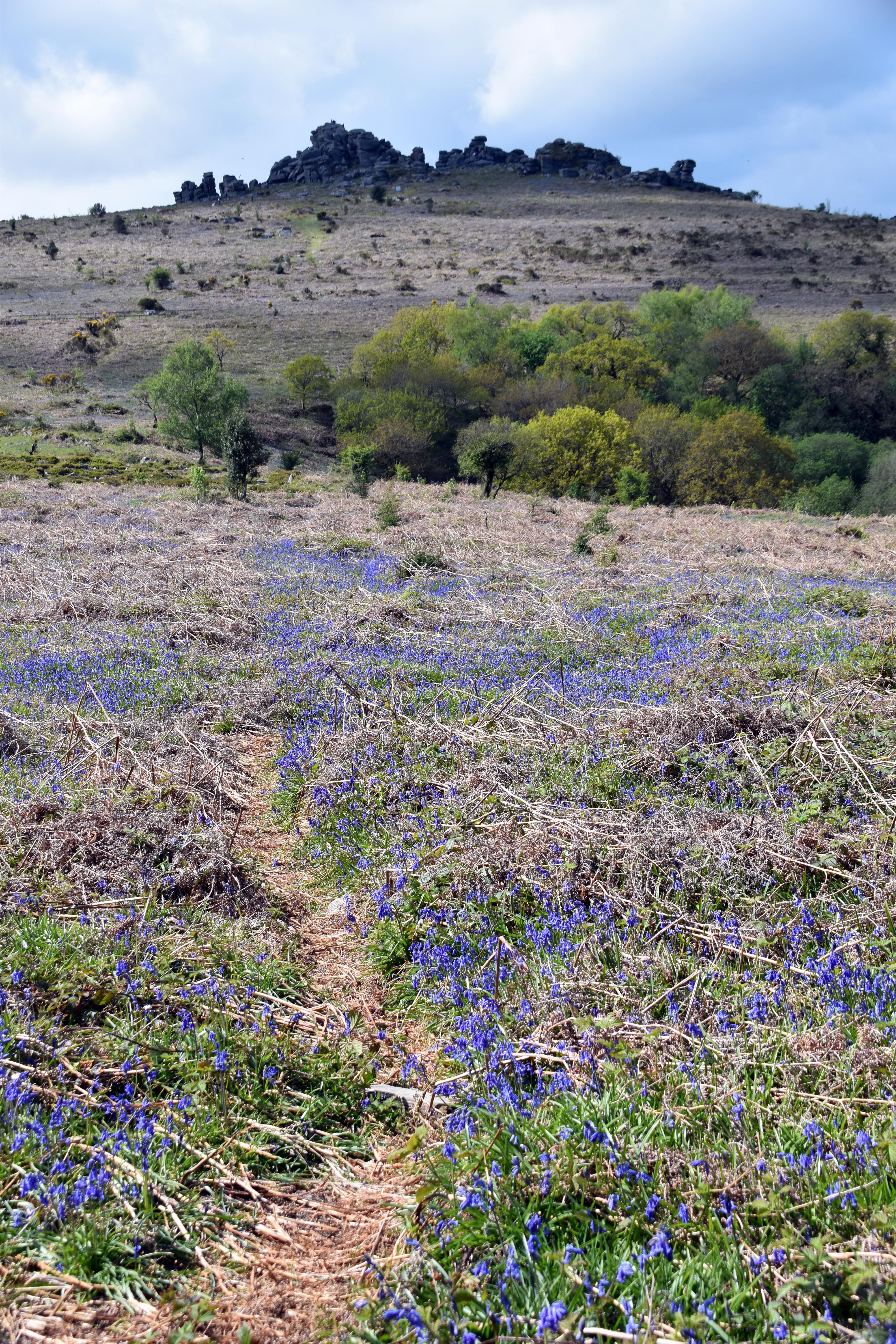
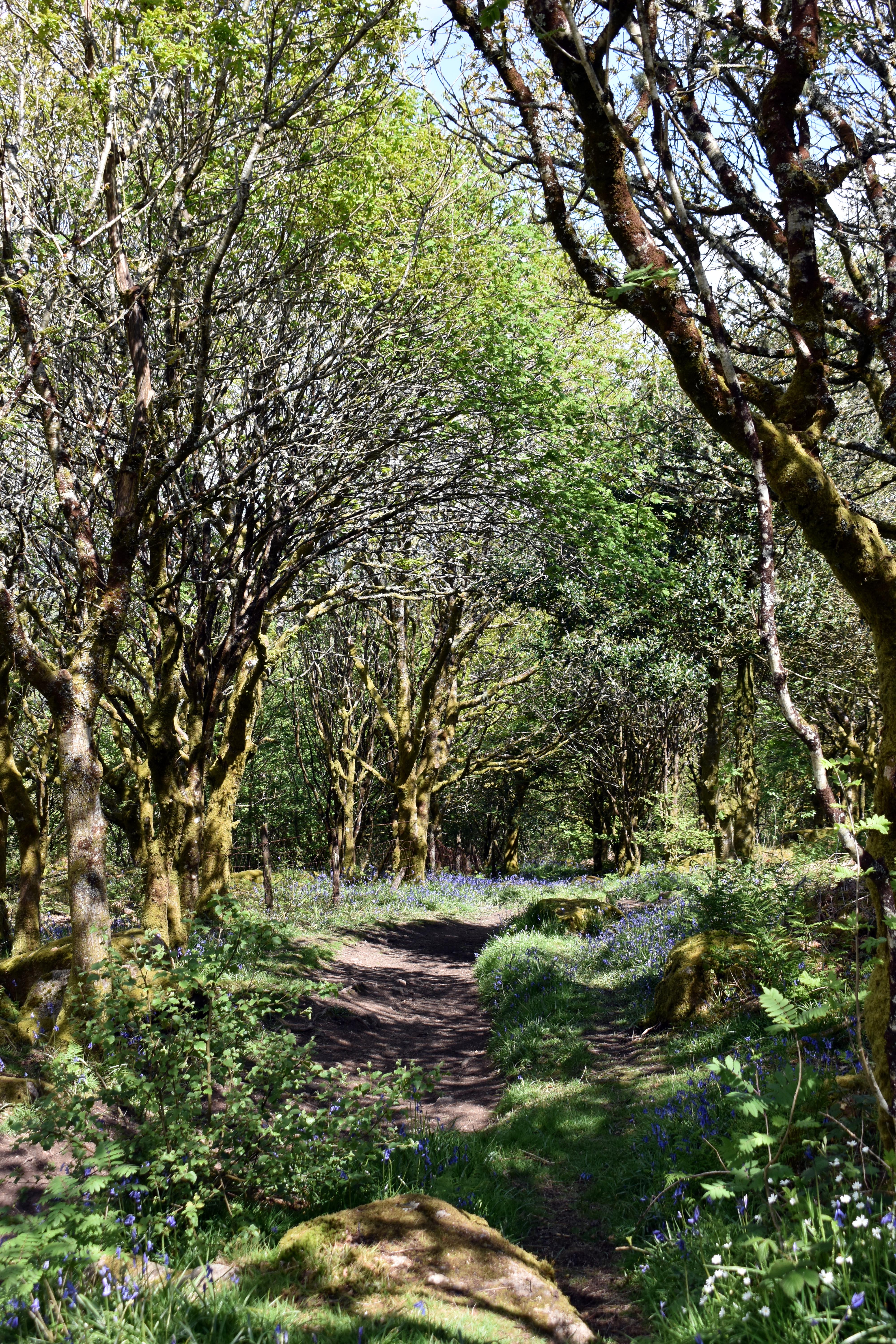
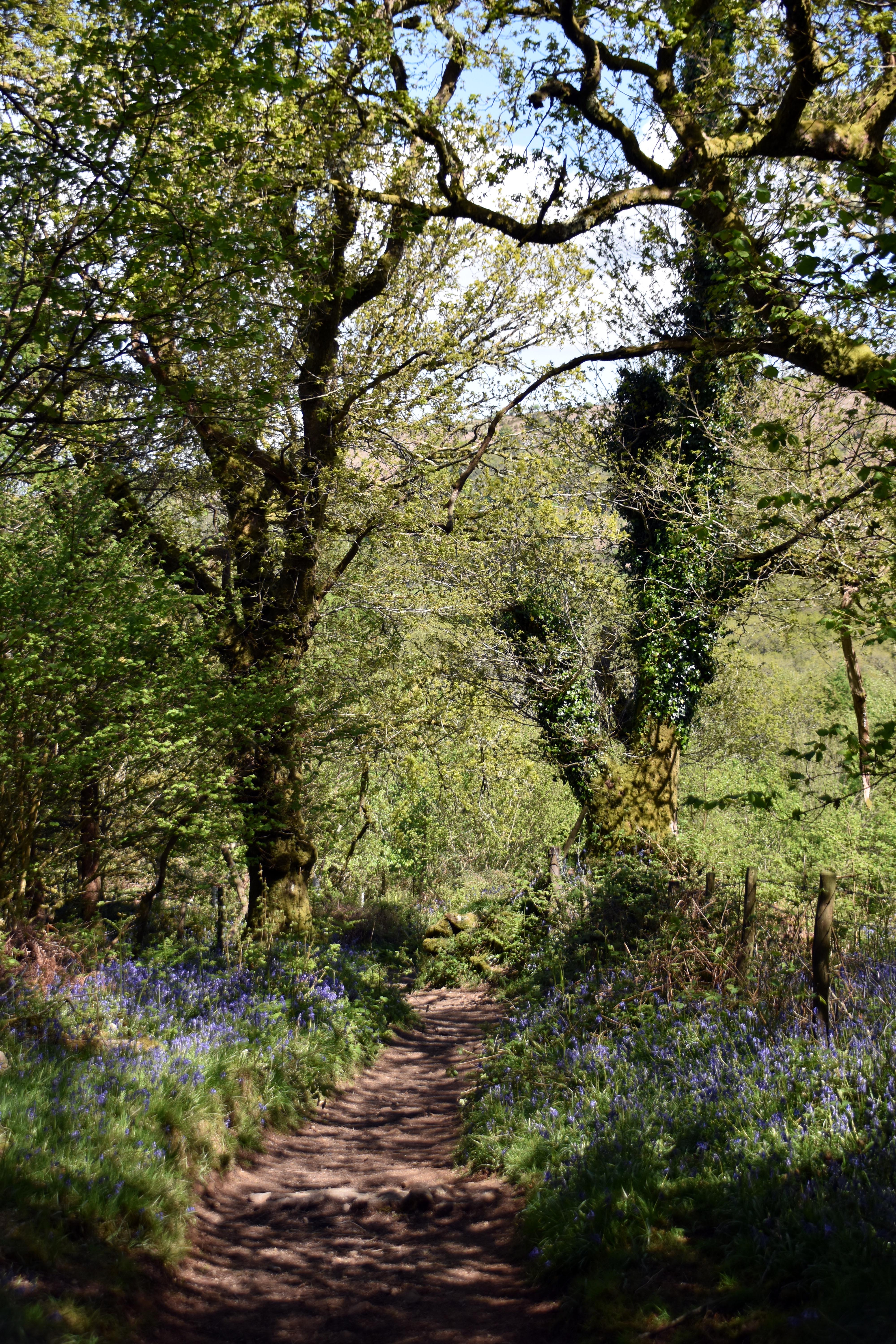
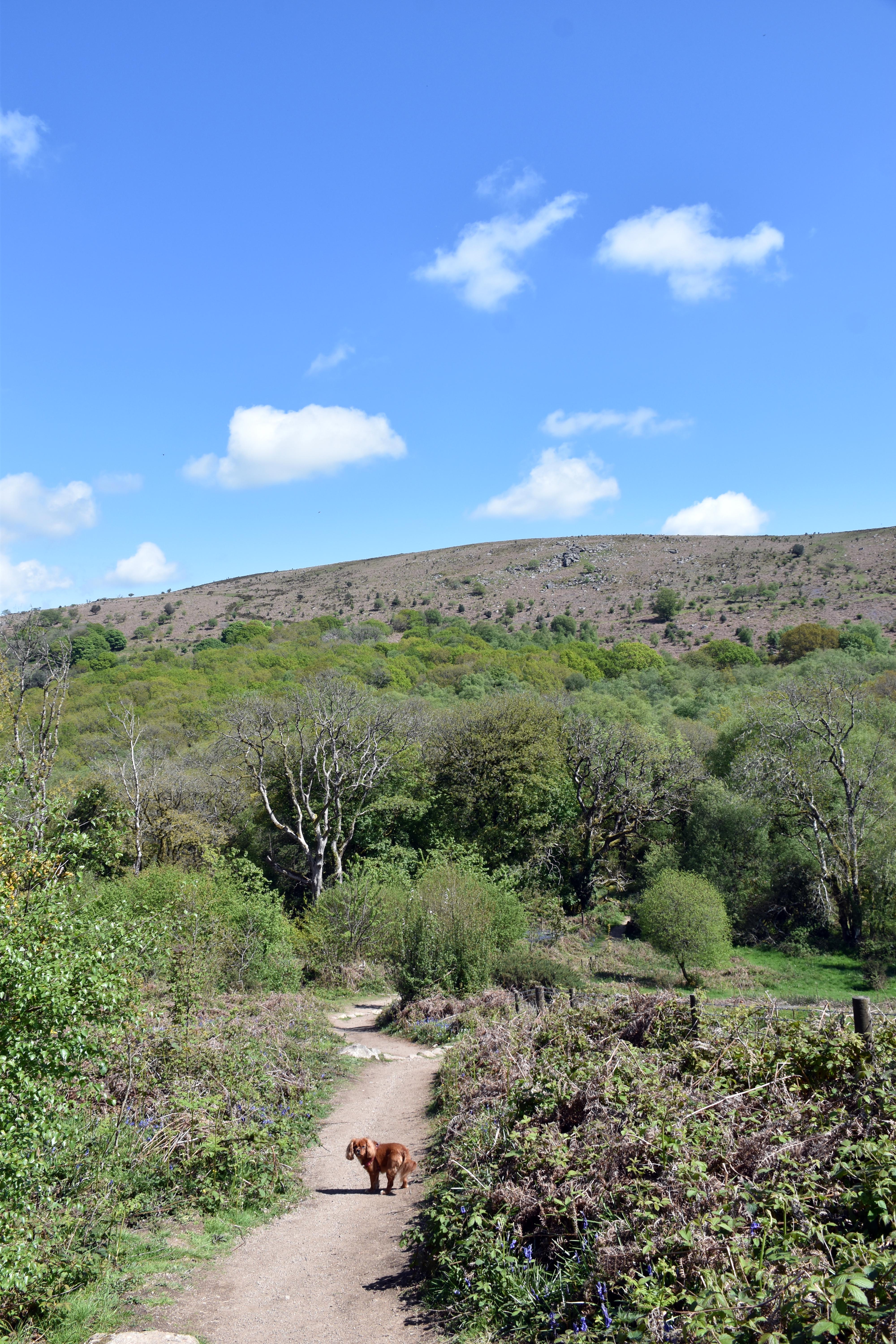
Rupert and I returned to the delightful Haytor Down. Last time we walked south‑east down to Ilsington. This time we were heading in the opposite direction to explore some of the old quarries, but also to cross over Becka Brook and head towards the medieval village abandoned at the time of the Black Death in the 14th century. All of this was achieved with the beautiful bluebells of Holwell Lawn and those on Hound Tor dancing with such vibrancy on this May Day.
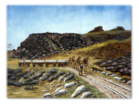
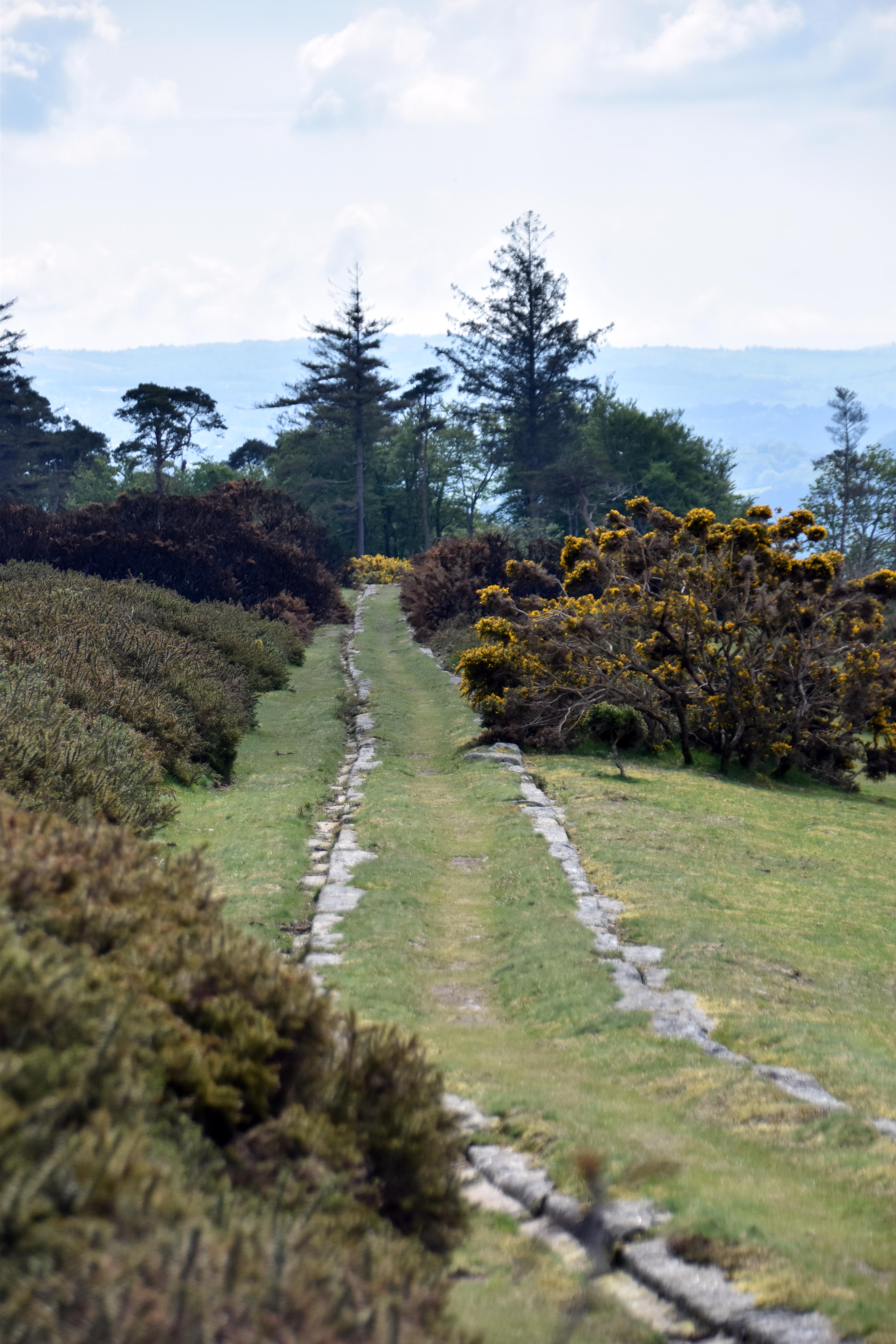
We soon joined the Templer Way granite tramway with its characteristic granite tracks rather than iron rails. I suppose if life gives you lemons you make lemonade; if you own a granite quarry, why not make granite rails instead of importing expensive iron ones. The fact that they are still standing two centuries later attests to their durability. When new, the pristine granite would have been more than smooth enough for the horses to pull their loads.
|
|
|
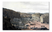
The granite tramway was completed in 1820 by the last Templer to live on the Stover Estate, George Templer, to link his quarries on Haytor with the canal further down the Teign valley, which Rupert and I visited not so long ago. The quay where the horses’ loads were transferred to the barges is still largely intact. This granite railway may have been the final straw that broke the finances of George Templer. He had always been profligate and was more interested in poetry and hunting than business and economics. He also had a long‑term mistress with whom he had six children. But the real reason for his being forced to sell his considerable estate, quarry, canal and tramway to the Duke of Somerset in 1829 may have been that he had taken out loans to build the granite railway which were being recalled, and he simply did not have the cash to hand. He would have risked being declared bankrupt in an age that did not look kindly on debtors. He went overseas for a while but returned to build Sandford Orleigh on the outskirts of Newton Abbot, which we also visited recently, as later inhabitants of that house were Samuel and Florence Baker, the famous Nile explorers. Perhaps appropriately, George Templer died in 1843 after a hunting accident.
|
|
|
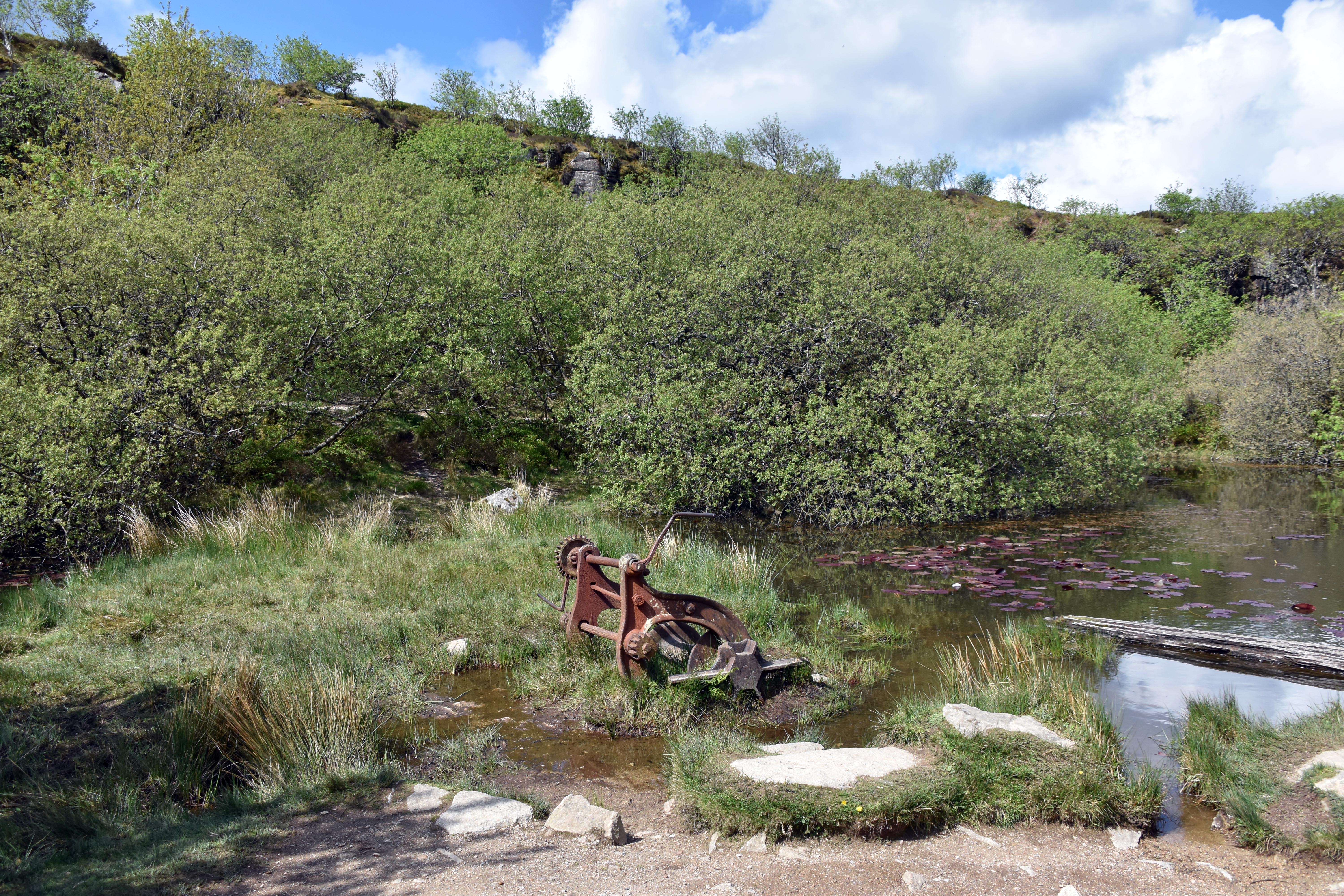
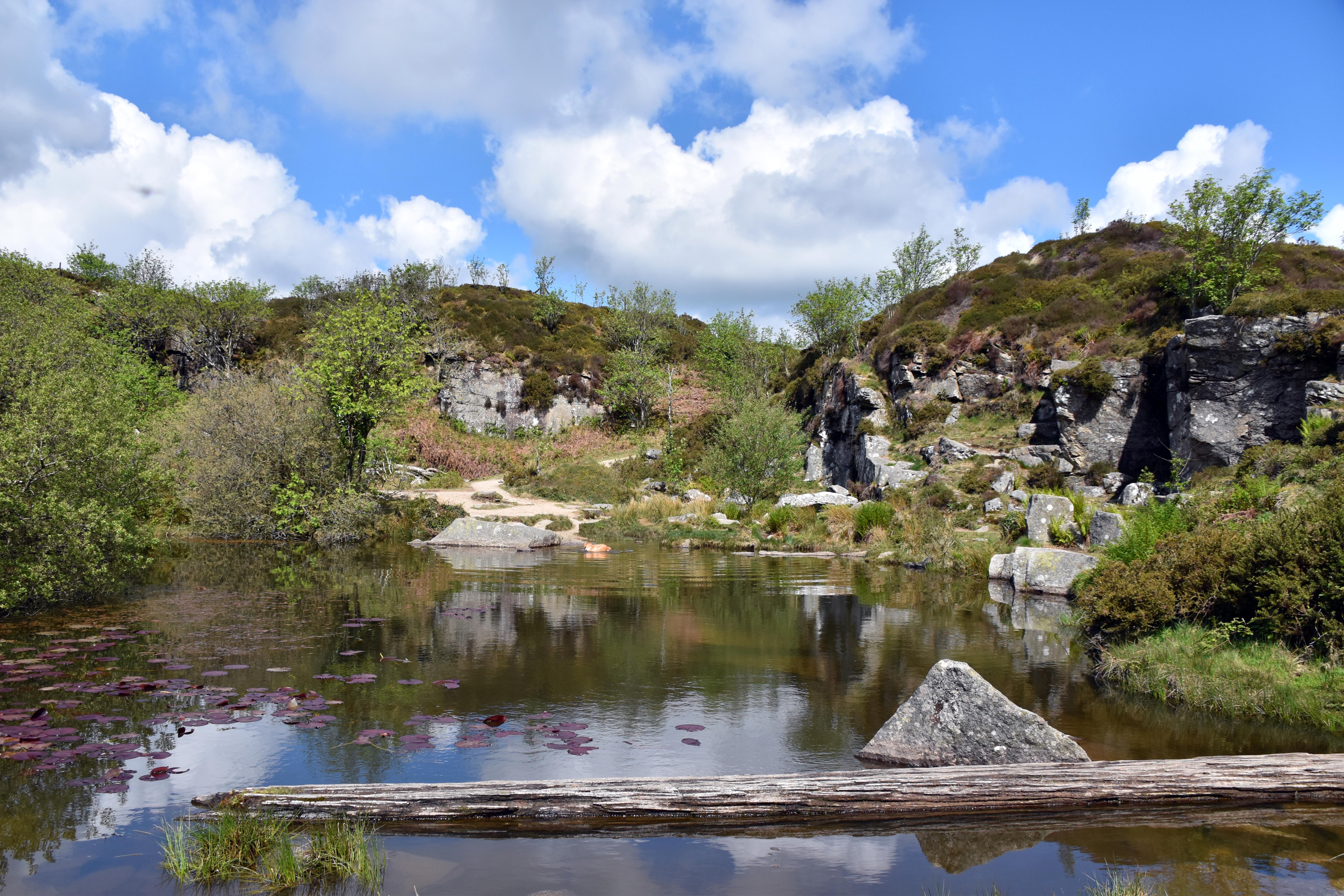
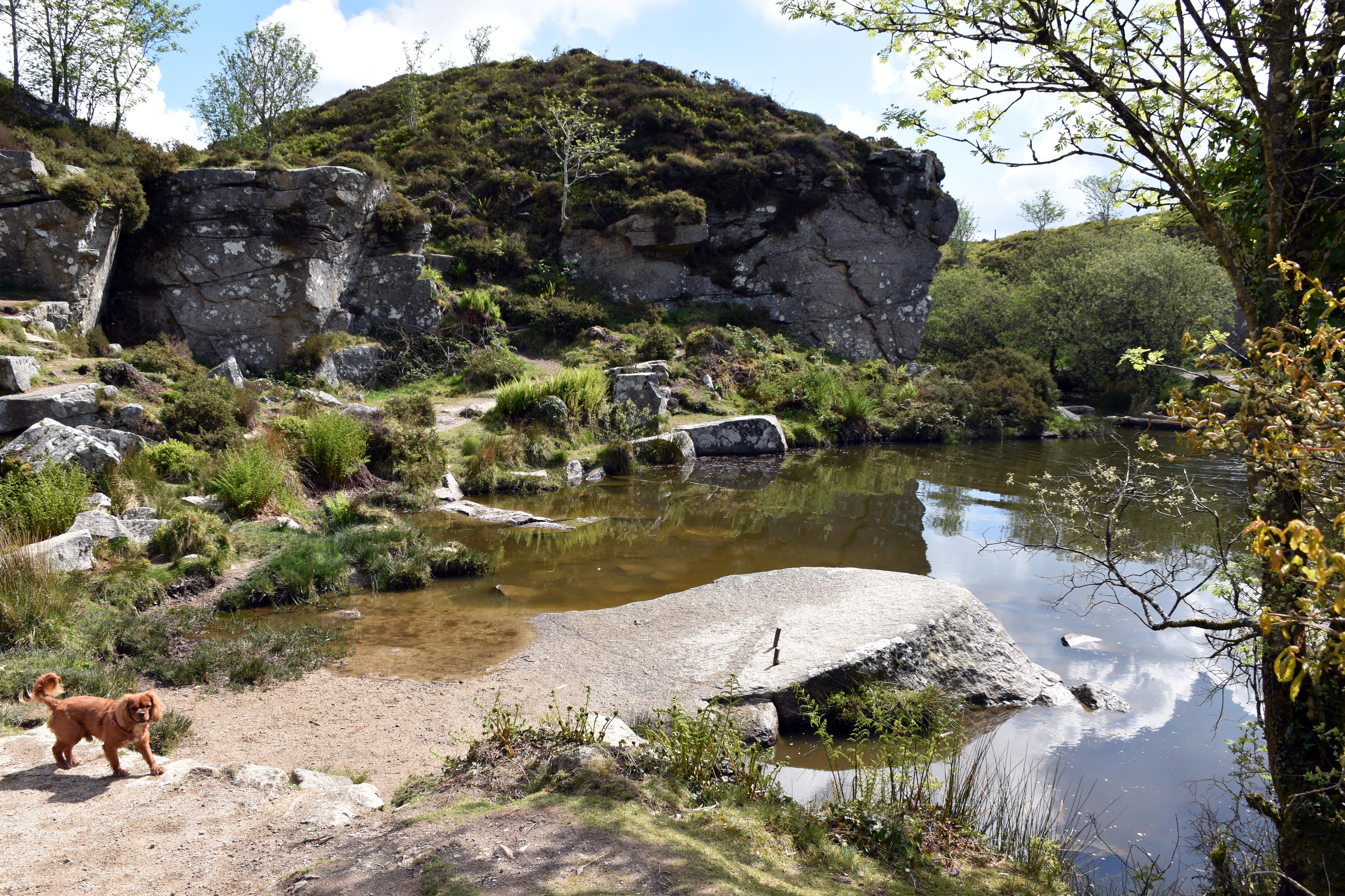
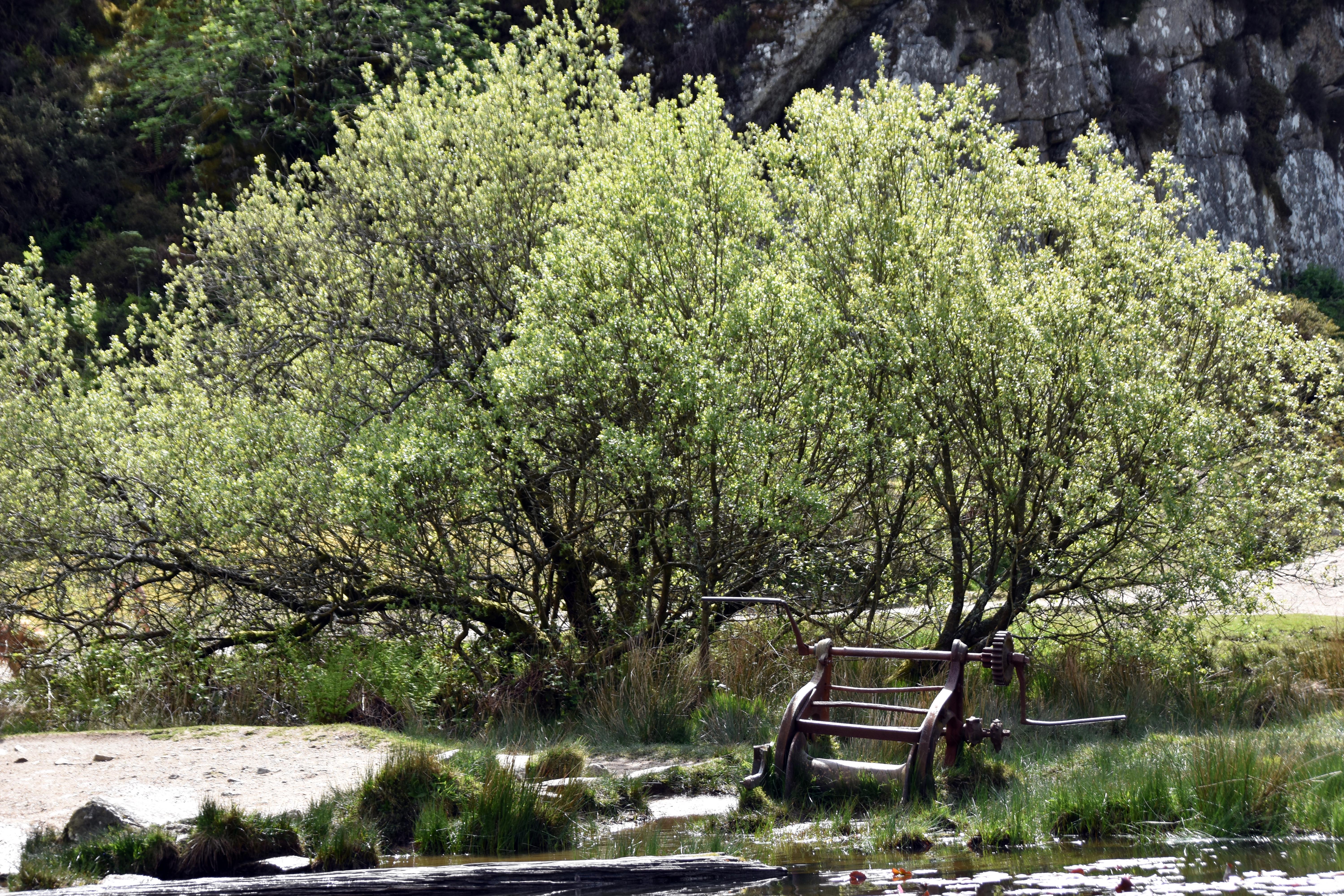
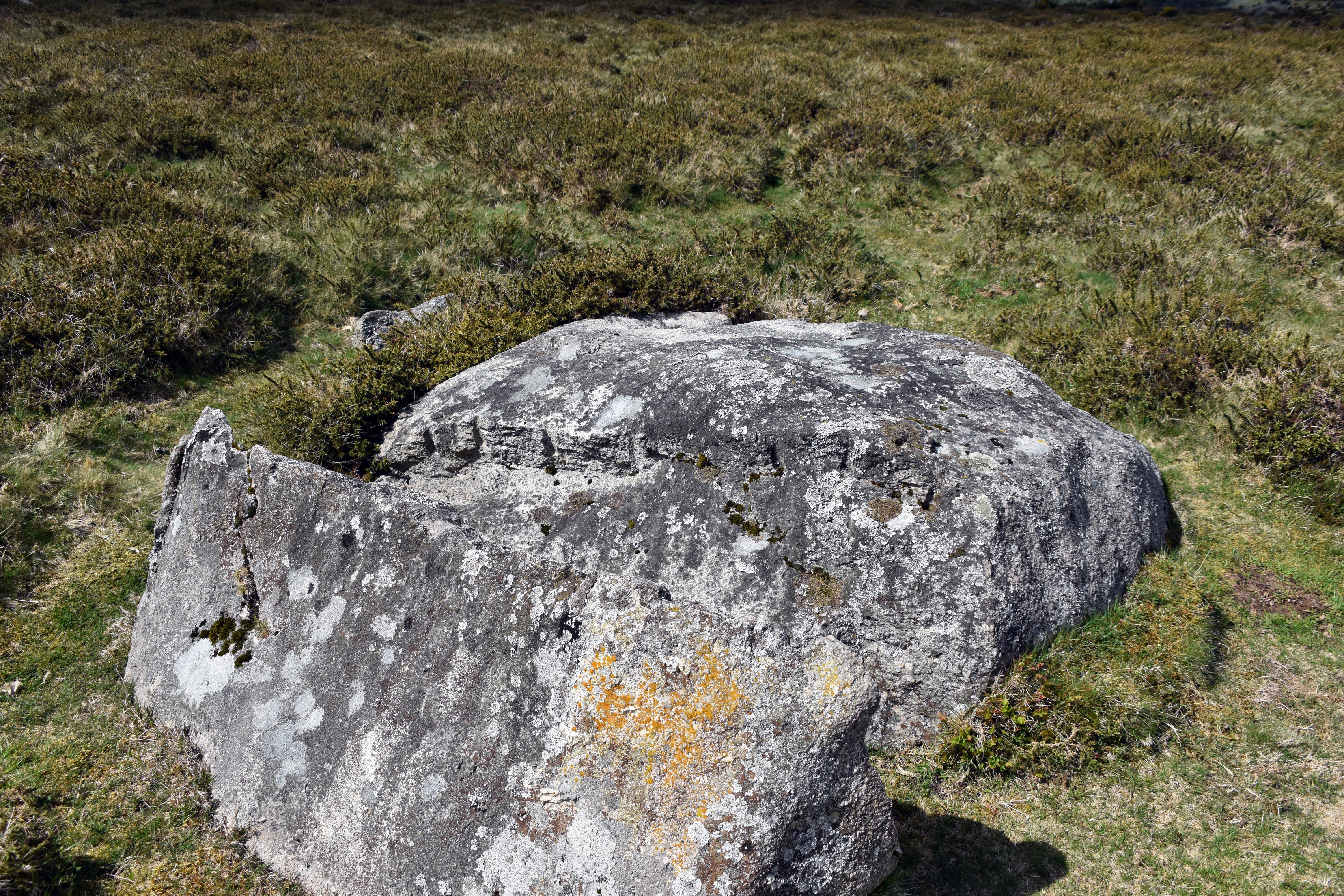
As you walk around Haytor and Holwell Tor you can see the extent of the quarrying and the tramway which was laid all over the area to different seams of rock. You can see countless lumps of granite with the tell‑tale signs of iron wedges being used to prise open the precious stone. Although granite here was used extensively, including in London Bridge, the National Gallery and the British Museum, the truth is that the quarries struggled to compete with cheaper Cornish coastal quarries which could load their stone straight onto ships and take it anywhere reachable by water. By 1860 commercial quarrying had ended on Haytor.
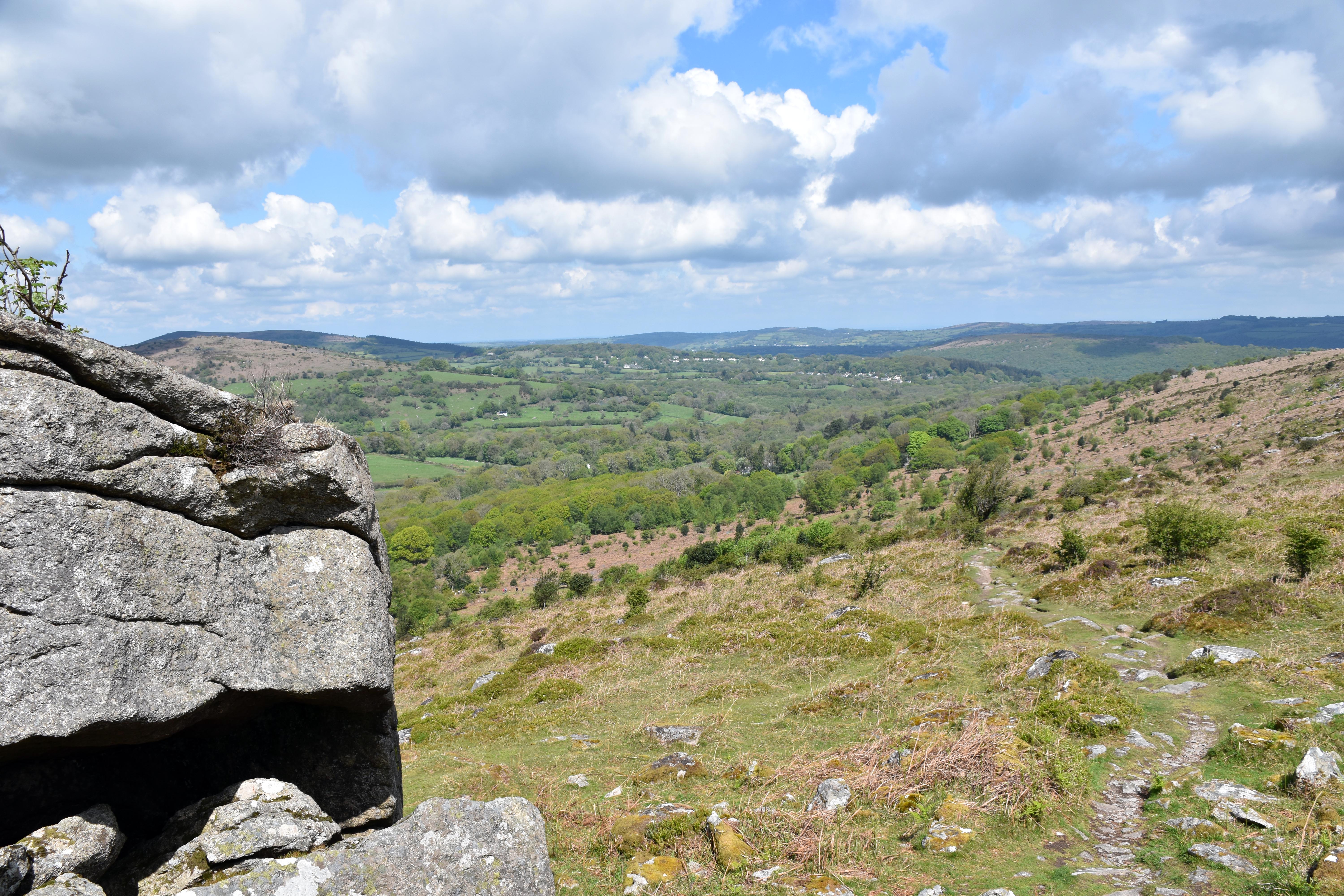
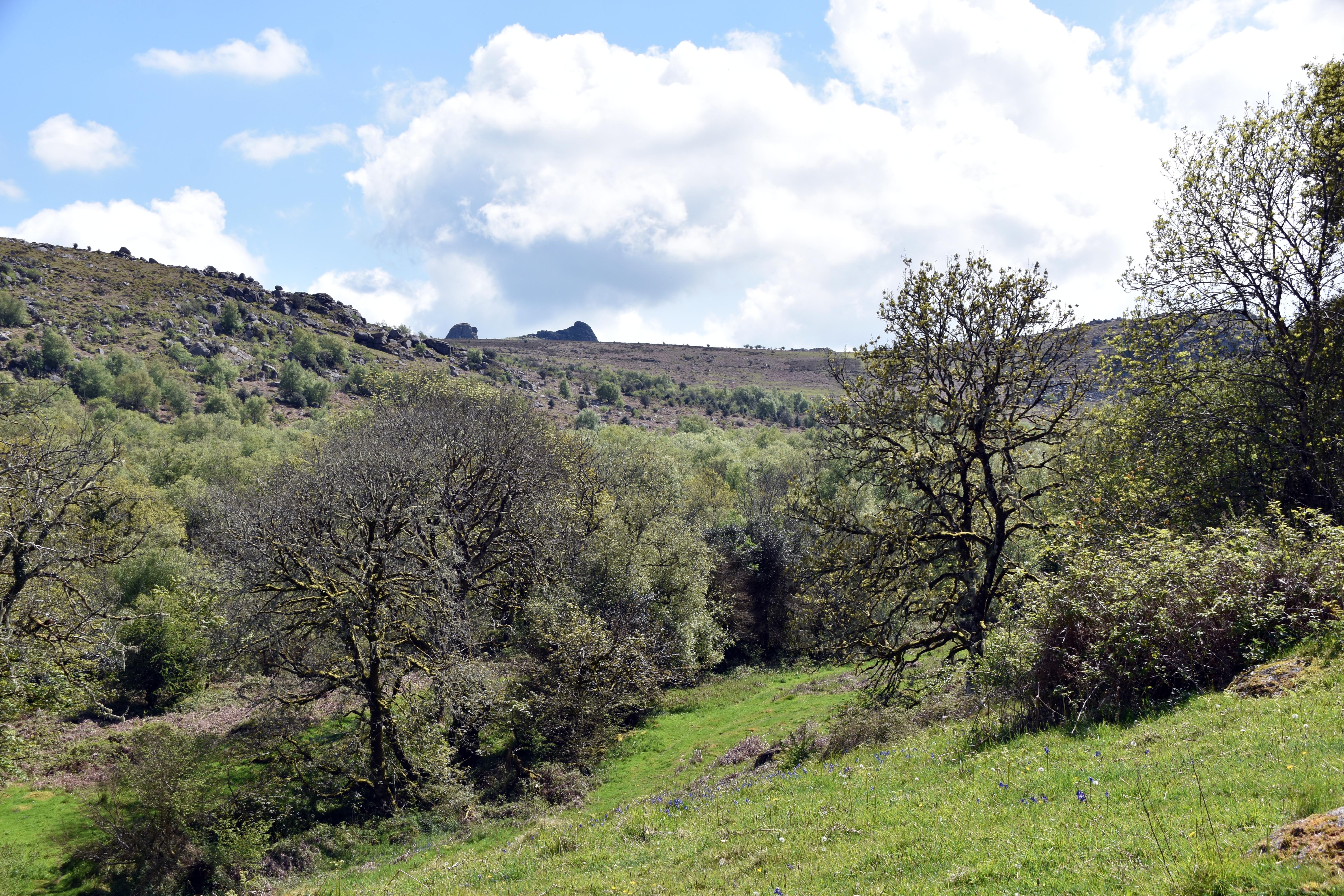
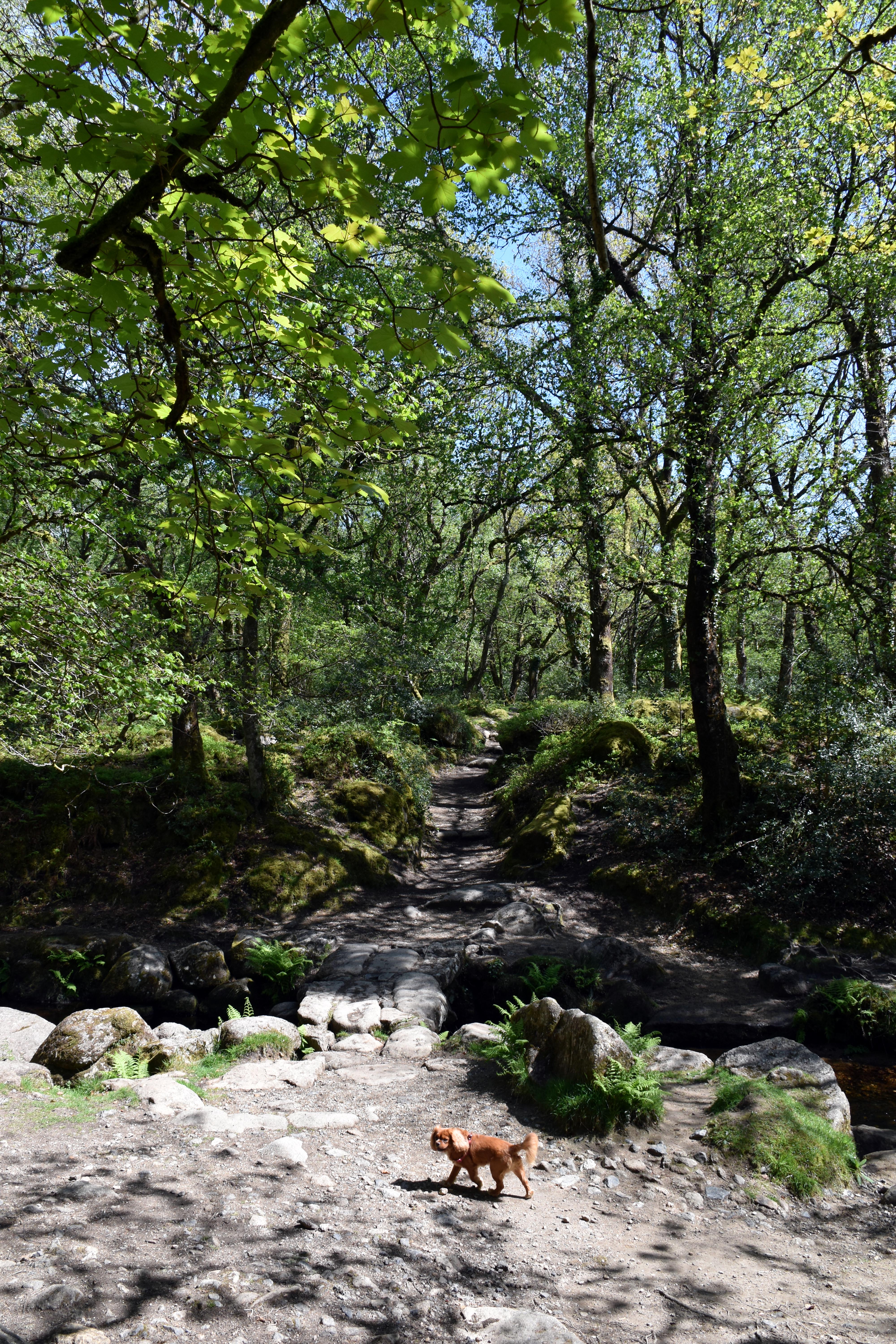
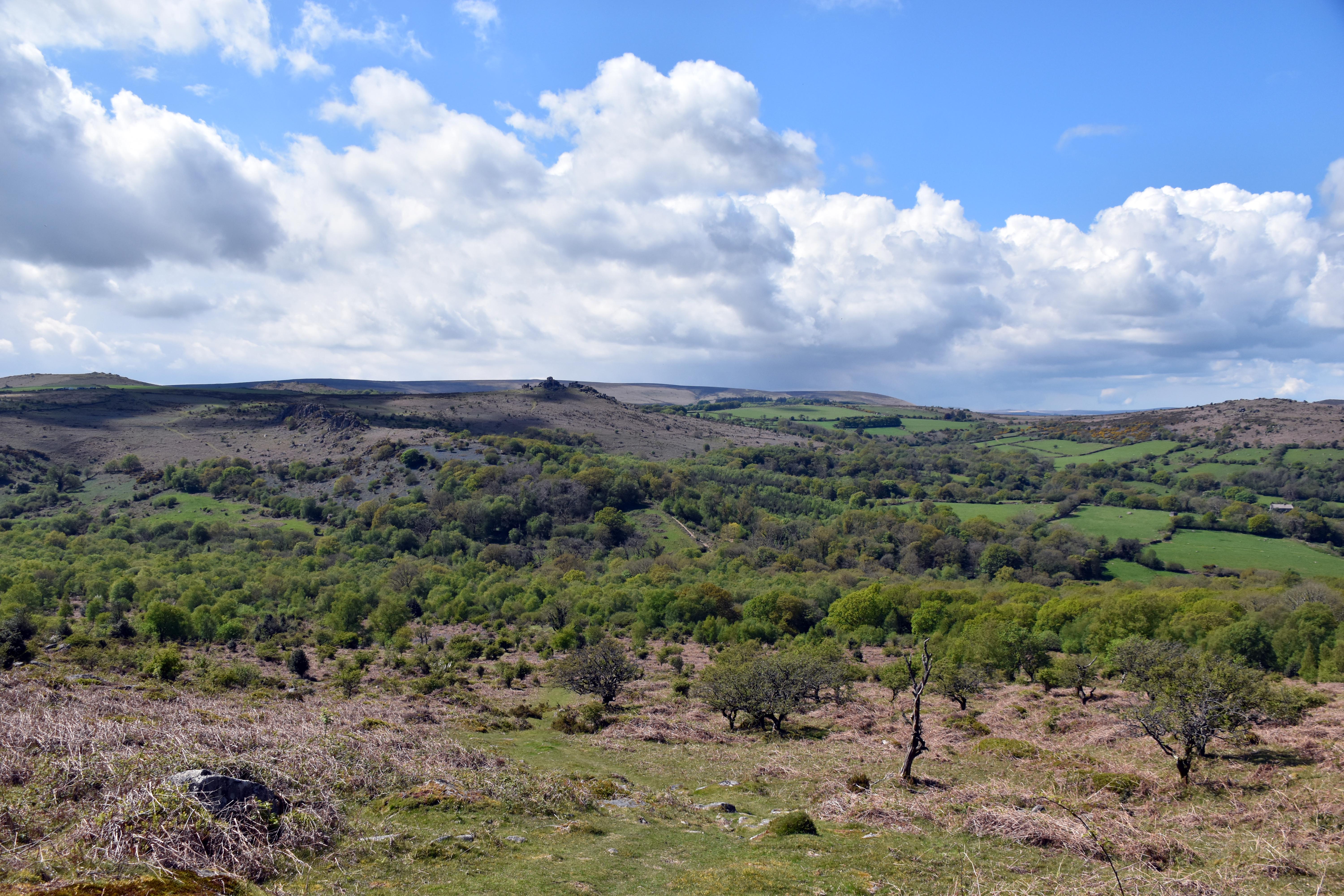
We headed to Smallacombe Rocks next, from which we were treated to stunning views over Holwell Lawn and Hound Tor. We also heard cuckoos calling to one another and, as we descended, we were treated to a woodpecker’s performance. This is a popular route as you need to locate the footbridge to cross Becka Brook, but it is a delightful walk down on the valley floor itself through some lovely woodland. The clapper bridge transports you back in time as you imagine generations of farmers and locals traversing it. The walk up the other side began to be decorated increasingly by bluebells as we ascended. We decided to deviate to Greator Rocks, surrounded by bluebells, for lunch with spectacular views back towards Haytor and up the valley.
|
|
|
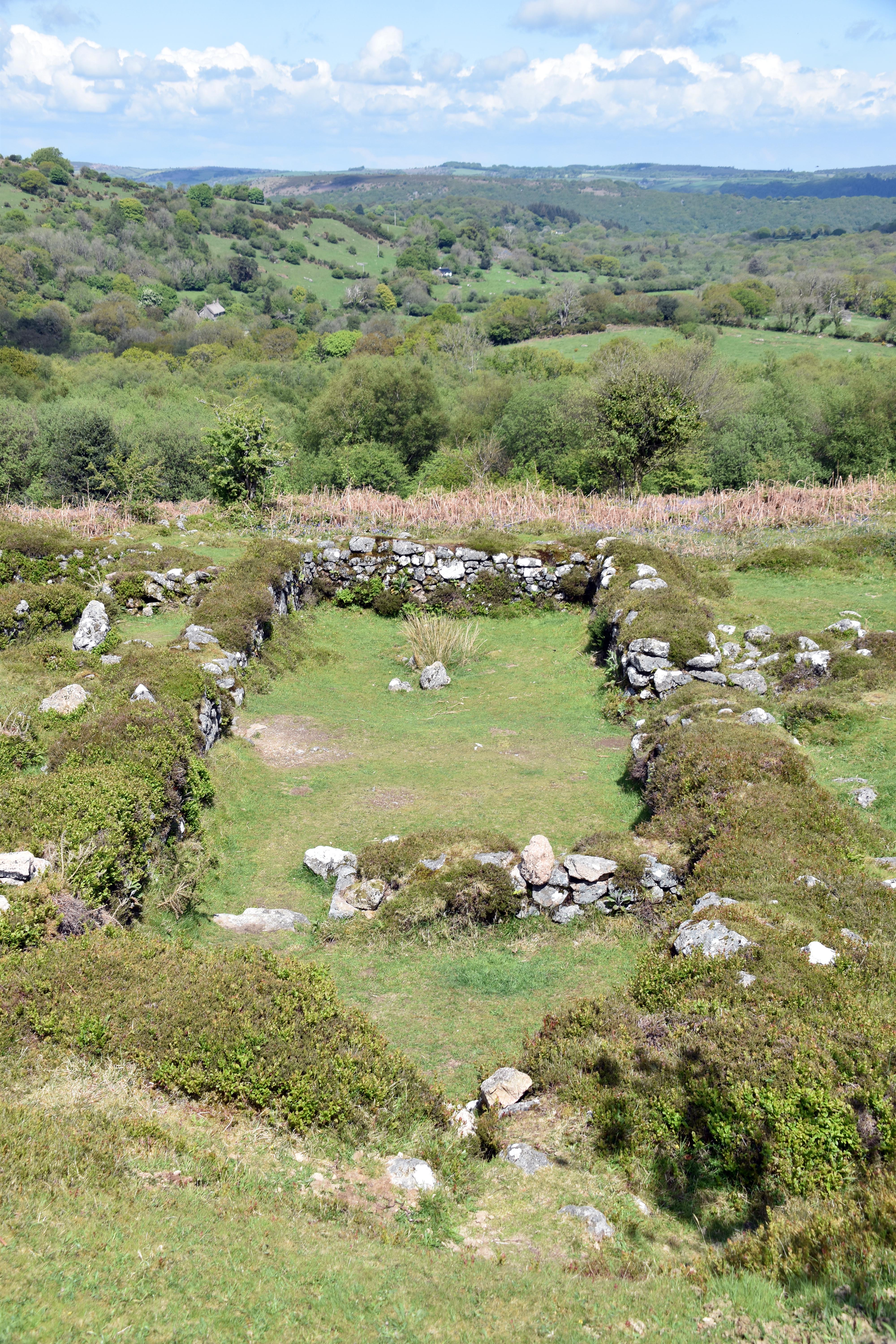
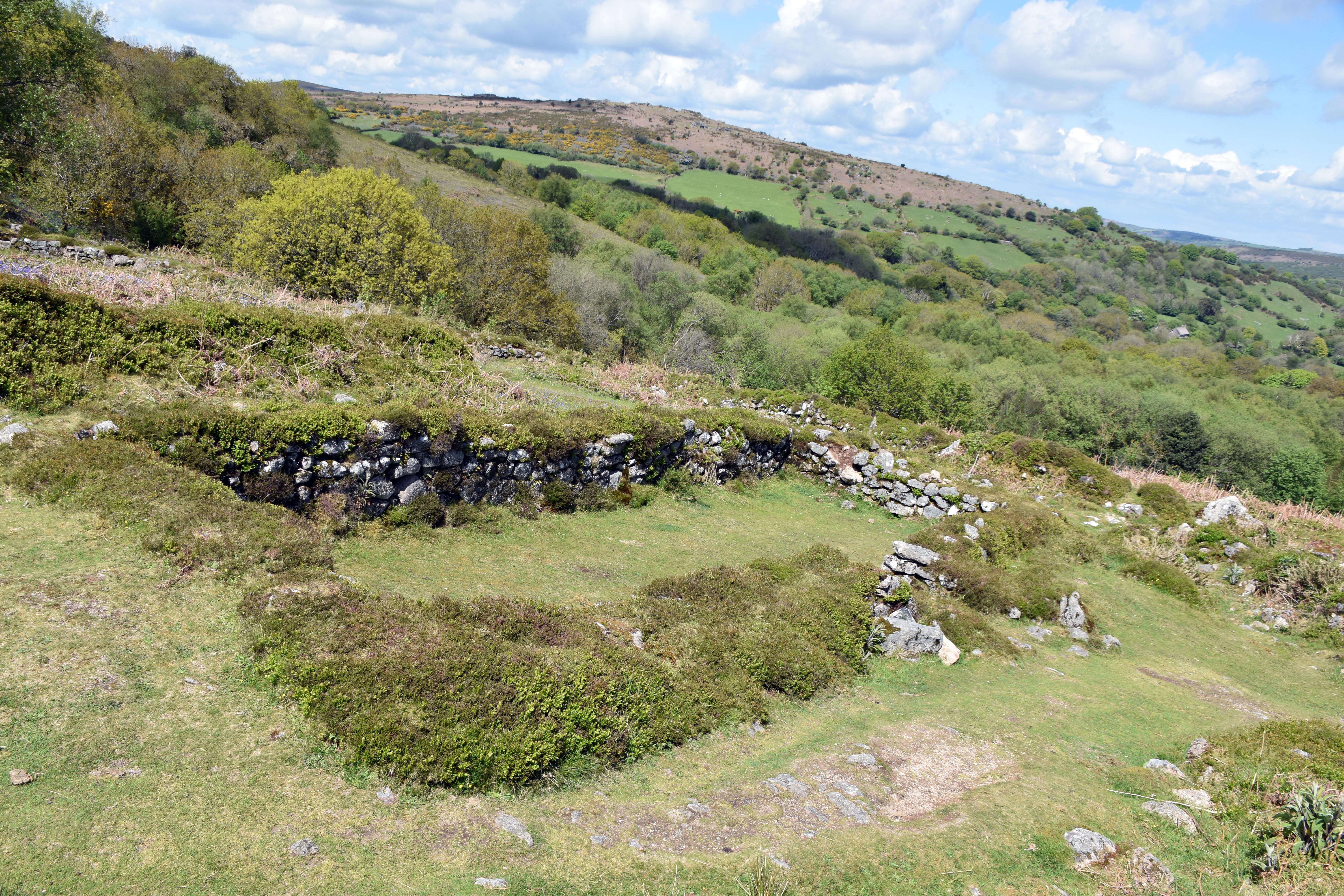
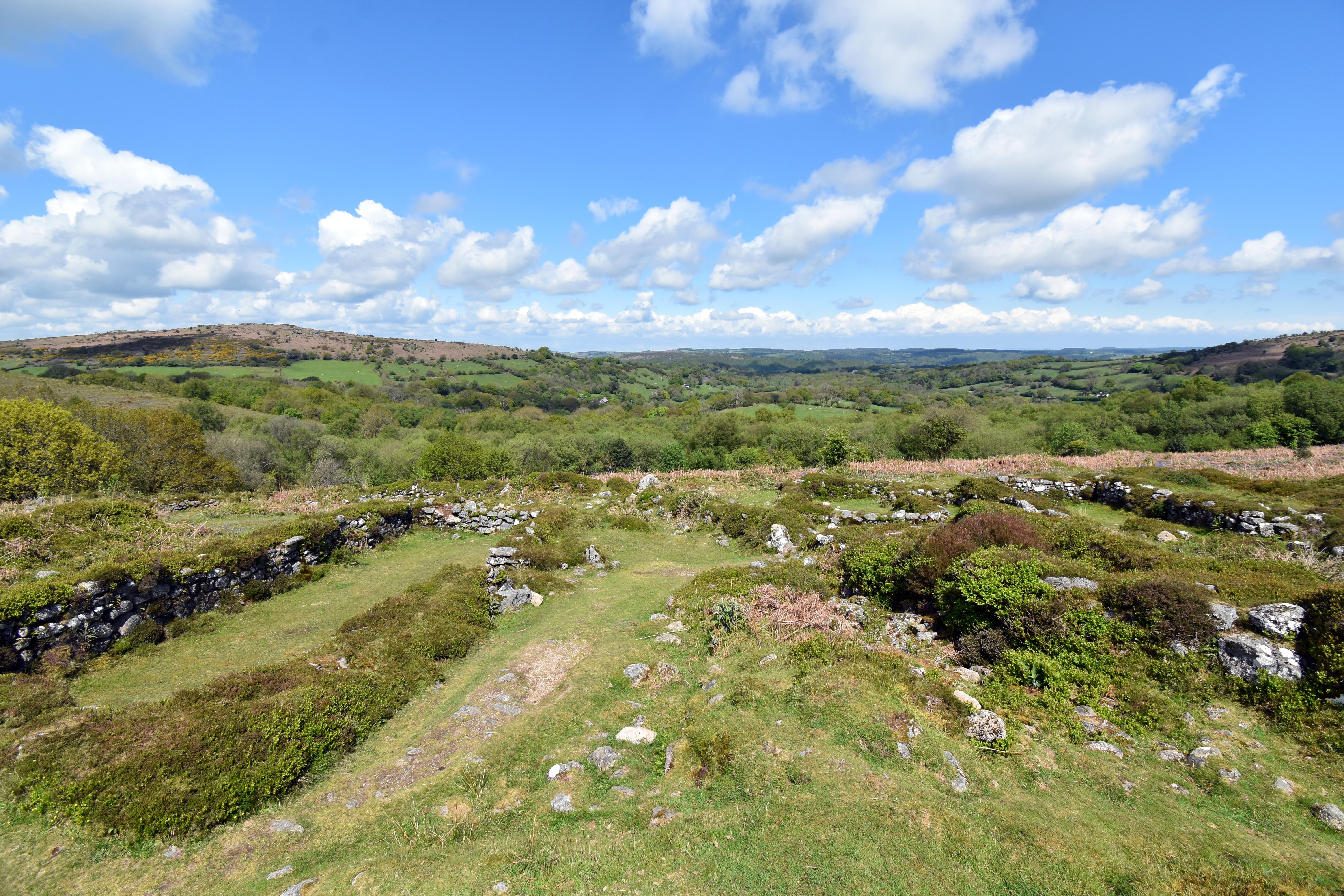
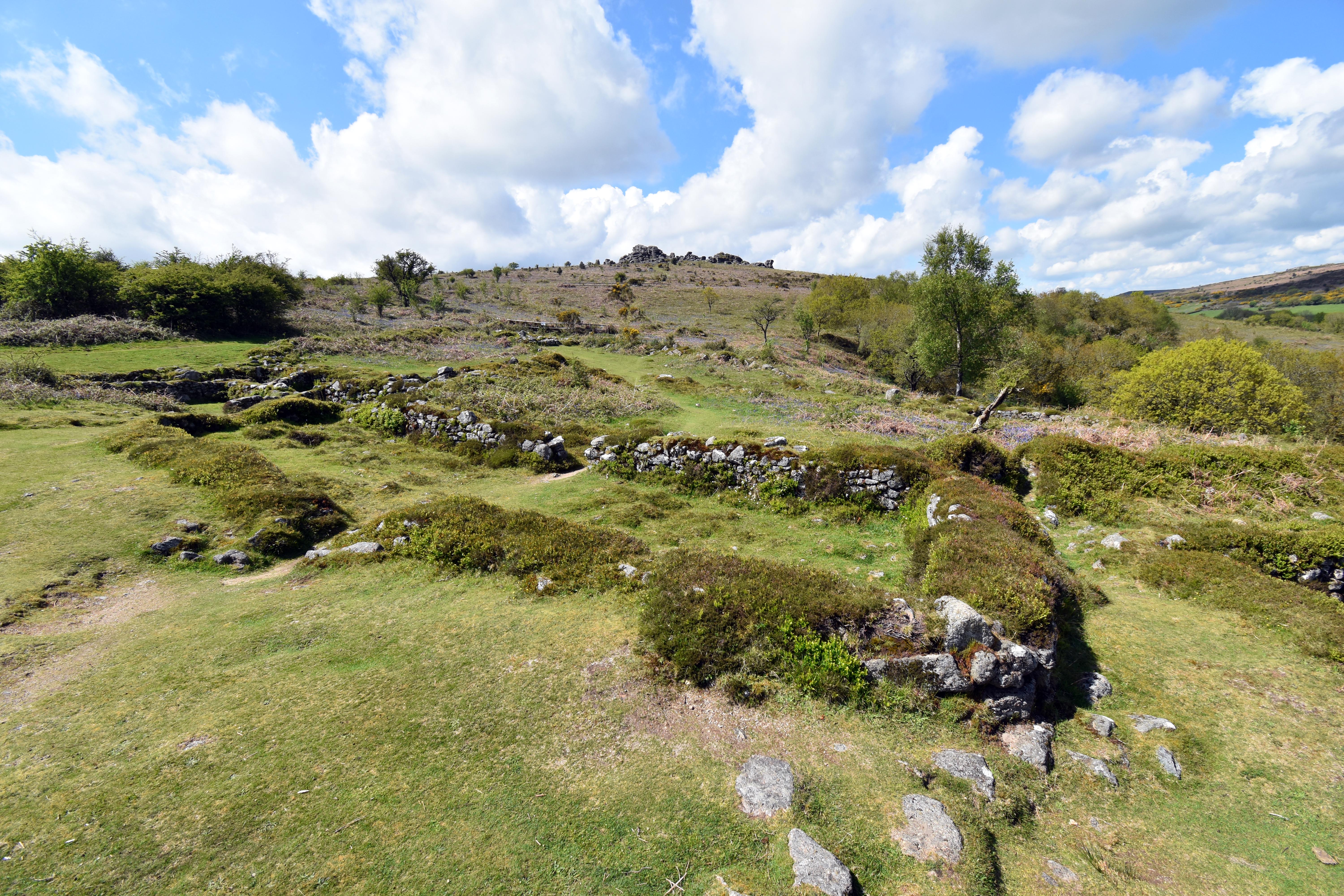
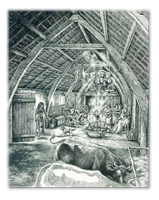
After lunch we explored the fascinating abandoned medieval village of Hundatora (Hound Tor). There are many deserted villages across the country which were abandoned after the misery of the Black Death made them unviable communities. However, few are as well preserved as this. You can see the entire compound with the layouts of longhouses very clearly. These traditional houses used to combine humans with their livestock—at least in wintertime. You can see that the longhouses have one side higher than the other. The humans would live at the higher end, the animals at the lower end so that their waste could pass out of the bottom of the house—and you can still make out some of the drainage systems that allowed this. As I said, this usually occurred only in winter when leaving expensive assets like cattle to the mercy of the elements was not a wise business decision. Better to have them close, where they could also contribute to the warmth of the building and provide fresh milk to boot. It is hard to imagine it now, but around the village would have been the medieval strip‑farming system, where each villager held a number of strips of land in the various fields adjoining the settlement. This wasn’t the most efficient farming method at the best of times, and on the hard, rocky, granite‑infested acidic soil of Dartmoor it would have been more marginal than most. When the population of the country collapsed by at least a third after the Black Death, why would surviving villagers continue to eke out a living high up here on the moors—especially when far better farmland would have been freed up elsewhere. After the Black Death, farmers had never been in such high demand and would have been eagerly sought after by neighbouring manors desperate to revive their own economies. This is why marginal settlements like this one on Hound Tor would have been abandoned. Yes, they may well have suffered from the plague itself, but equally the plague may have passed this community by; there were simply better opportunities elsewhere as a result of the unmitigated disaster that befell this country in the 14th century. Either way, you do feel like you are gazing on a vanished world, and it is easy to imagine our ancestors trying to eke out a life for themselves in what looks to be a beautiful location but in reality would have been a harsh one for people dependent upon it to furnish them with food and a living.
After a good walk around we descended back into the valley, but when we emerged from the woodland we veered up to Black Hill for lovely views out to the east over the Bovey valley and even to the Teign valley beyond. We also caught up with the Duke of Somerset’s more interesting‑than‑usual boundary markers, which we talked about in detail in our Ilsington walk. But just to point out that on Haytor Down you have an interesting triangular boundary stone which marks the intersection of three different parishes: Ilsington, Bovey Tracey and Manaton. We were also treated to a small helicopter buzzing us and disappearing into the Bovey valley as we descended back to the car. This walk is beautiful at any time of the year, but it is particularly beautiful in May with the accompanying bluebells carpeting the sides of the valleys.
|